ハルトハイムのおすすめMTBライド
4.7
(291)
888
ライダー
105
ライド
ハルトハイム周辺でのマウンテンバイクは、その地形を最大限に楽しむのに最適なスポーツですが、ライドのスタート地点を探すのが難しいこともあります。ハルトハイム周辺でおすすめのルートが見つかるように、人気マウンテンバイクルートをご紹介します。
最終更新日: 9月 7, 2026
4.6
(36)
136
ライダー
24.6km
01:52
410m
410m
中程度のマウンテンバイクライド. ある程度のフィットネスレベルが必要です。 高度なライディングスキルが必要です。
4.6
(18)
73
ライダー
51.4km
03:03
400m
400m
中程度のマウンテンバイクライド. ある程度のフィットネスレベルが必要です。 あらゆるスキルレベルに適しています。

4.7
(42)
170
ライダー
24.7km
02:22
550m
550m
中程度のマウンテンバイクライド. ある程度のフィットネスレベルが必要です。 高度なライディングスキルが必要です。
4.8
(5)
24
ライダー
45.8km
02:49
460m
460m
中程度のマウンテンバイクライド. ある程度のフィットネスレベルが必要です。 あらゆるスキルレベルに適しています。
5.0
(4)
29
ライダー
35.1km
02:09
320m
320m
中程度のマウンテンバイクライド. ある程度のフィットネスレベルが必要です。 あらゆるスキルレベルに適しています。
さらに多くのルートや他のユーザーのおすすめ情報を確認できます。
すでにアカウントをお持ちですか?
おすすめのツアーは他のkomootユーザーが実際に経験した何千ものアクティビティに基づいています。
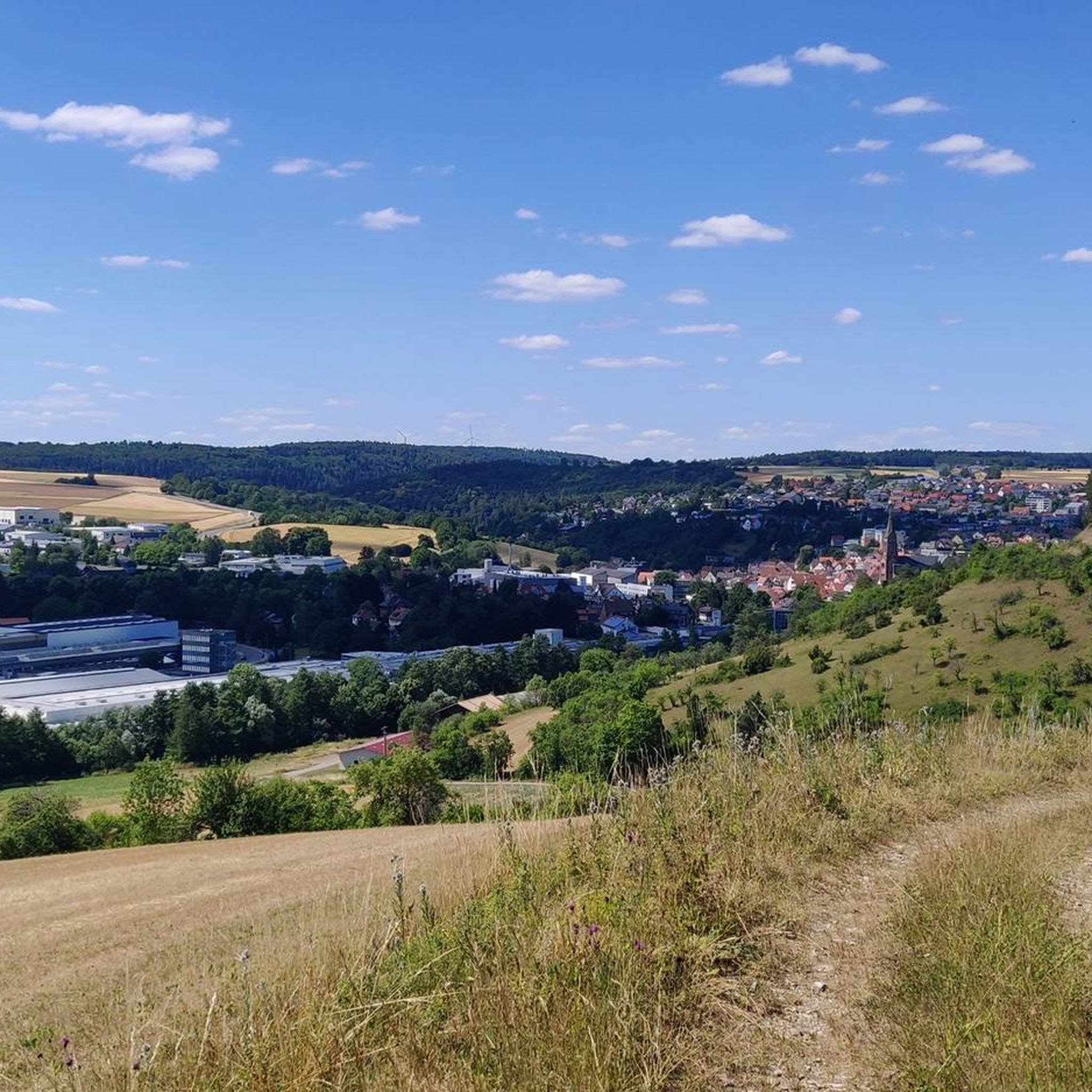
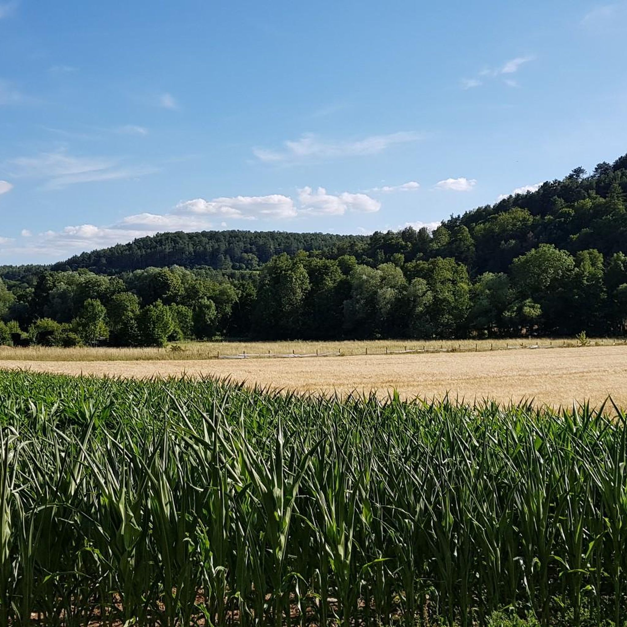
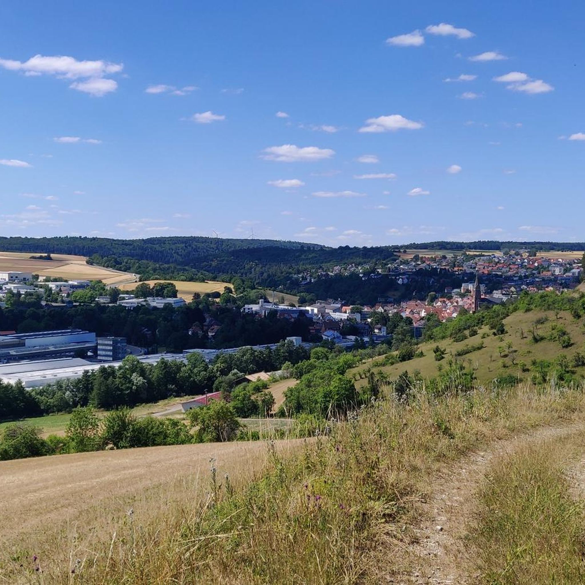
ハルトハイムでのの他の冒険


コミュニティからのヒント


The Türmersturm (Turm Tower) is the city's most famous landmark and part of the former Electorate of Mainz Palace. It was built as a defensive tower in the 13th century and later expanded in the 15th century. With a height of approximately 35 meters and 119 steps up to the tower chamber, it once served the city guard to monitor the Tauber Valley and the surrounding area.
8
0
Tauberbischofsheim Castle, also known as the Electorate of Mainz Castle, dates back to the 13th century. Today, it houses the Tauber Franconian Landscape Museum and, with its striking tower, is a landmark of the town.
8
0

The Würzburg Gate stands at the eastern end of Miltenberg's old town. Together with the Mainz Gate at the western end of the town, it forms the historic end of the old town. The gate is part of the old city fortifications, built in the 14th century. Originally, the gate served as a means of defense and control: Anyone wishing to enter the city had to pass through here and often pay tolls or taxes. The name "Würzburger Tor" derives from the direction toward Würzburg – the road led (and still leads) in this direction.
11
0


A very special place. The chapel and the surrounding trees are very well maintained and worth seeing.
2
0
Very beautiful and interesting place, not only the chapel, but also the trees are very special.
2
0

komootモバイルアプリでインスピレーションを得よう


さらに探索
他の地域の最高のMTBトレイルを見てみましょう。
