グルツェレンのおすすめウォーキング&ハイキングルート
4.6
(2634)
20,238
ハイカー
828
ハイキング
グルツェレン周辺でのハイキングは、景色を満喫するのに最適な手段のひとつですが、適切なハイキングルートを見つけることは簡単ではありません。 グルツェレン周辺の人気ハイキング&ウォーキングコースを参考にすれば、行きたいルートをすぐに見つけられます。
最終更新日: 10月 14, 2026
4.8
(4)
23
ハイカー
9.44km
02:29
90m
90m
中程度のハイキング. ある程度のフィットネスレベルが必要です。 進みやすいルートです。あらゆるスキルレベルに適しています。
4.8
(4)
26
ハイカー
8.91km
02:21
80m
80m
中程度のハイキング. ある程度のフィットネスレベルが必要です。 進みやすいルートです。あらゆるスキルレベルに適しています。

25
ハイカー
4.21km
01:07
40m
40m
初級者向けハイキング. あらゆるフィットネスレベルに適しています。 進みやすいルートです。あらゆるスキルレベルに適しています。
5.0
(1)
15
ハイカー
2.61km
00:41
20m
20m
初級者向けハイキング. あらゆるフィットネスレベルに適しています。 進みやすいルートです。あらゆるスキルレベルに適しています。
5.0
(1)
21
ハイカー
6.85km
01:50
80m
80m
初級者向けハイキング. あらゆるフィットネスレベルに適しています。 進みやすいルートです。あらゆるスキルレベルに適しています。
さらに多くのルートや他のユーザーのおすすめ情報を確認できます。
すでにアカウントをお持ちですか?
おすすめのツアーは他のkomootユーザーが実際に経験した何千ものアクティビティに基づいています。
無料アカウントで今日から始めよう
次の冒険が待っています。

コミュニティからのヒント

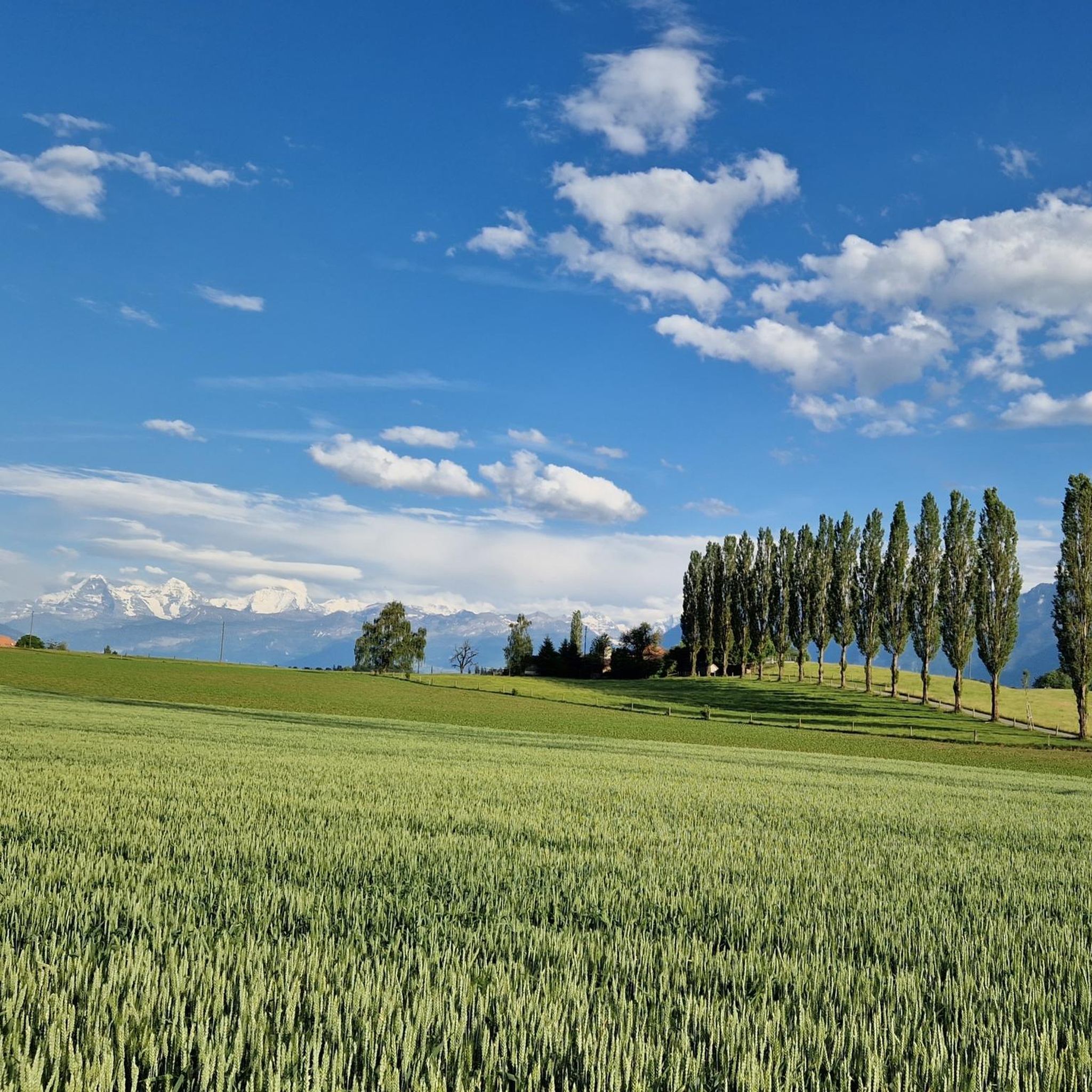
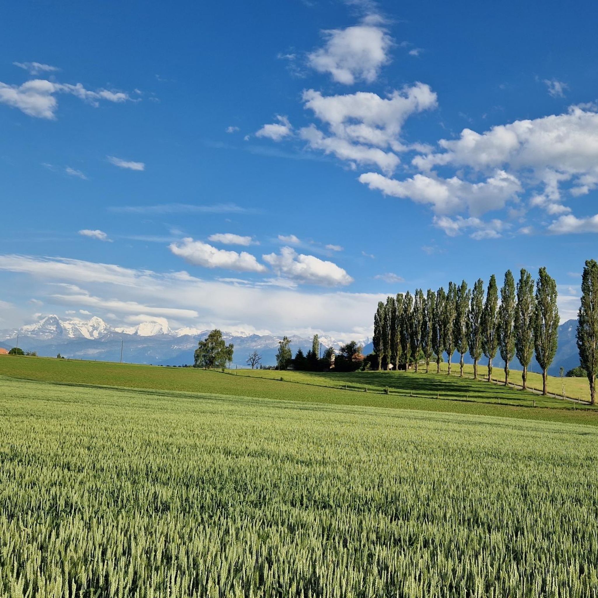
This lake is also a little jewel against the backdrop of the Eiger, Mönch and Jungfrau, but also the majestic Stockhorn chain. On the lakeshore, the Grizzlybär restaurant with a small animal park and large playground for kids invites you to linger.
0
1

View over the Dittligsee towards the Stockhorn chain
1
0

Local recreation area in the rural Stockental. The parallel path along the Gürbe is well frequented.
0
0

Demanding stage but worth every effort.
0
0
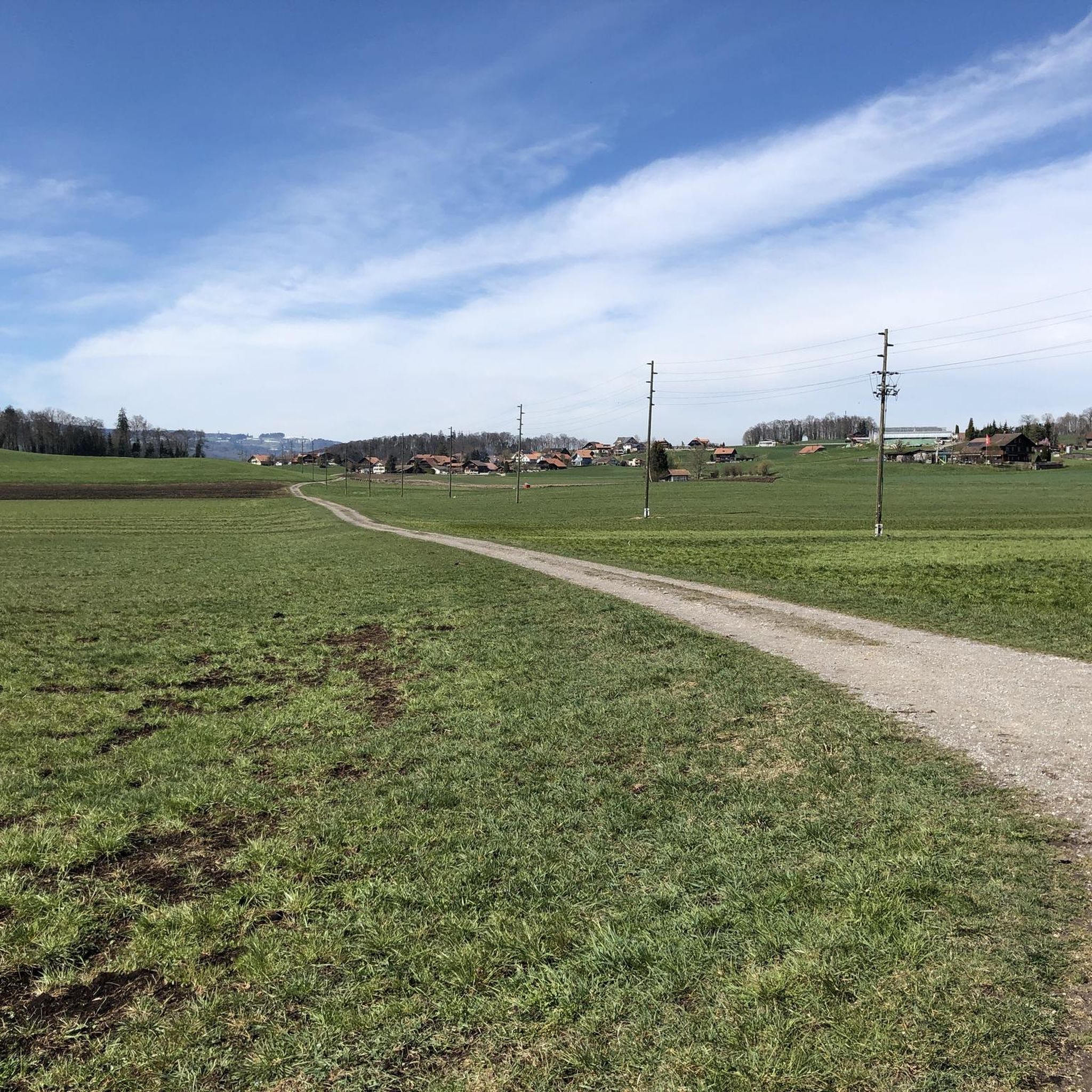
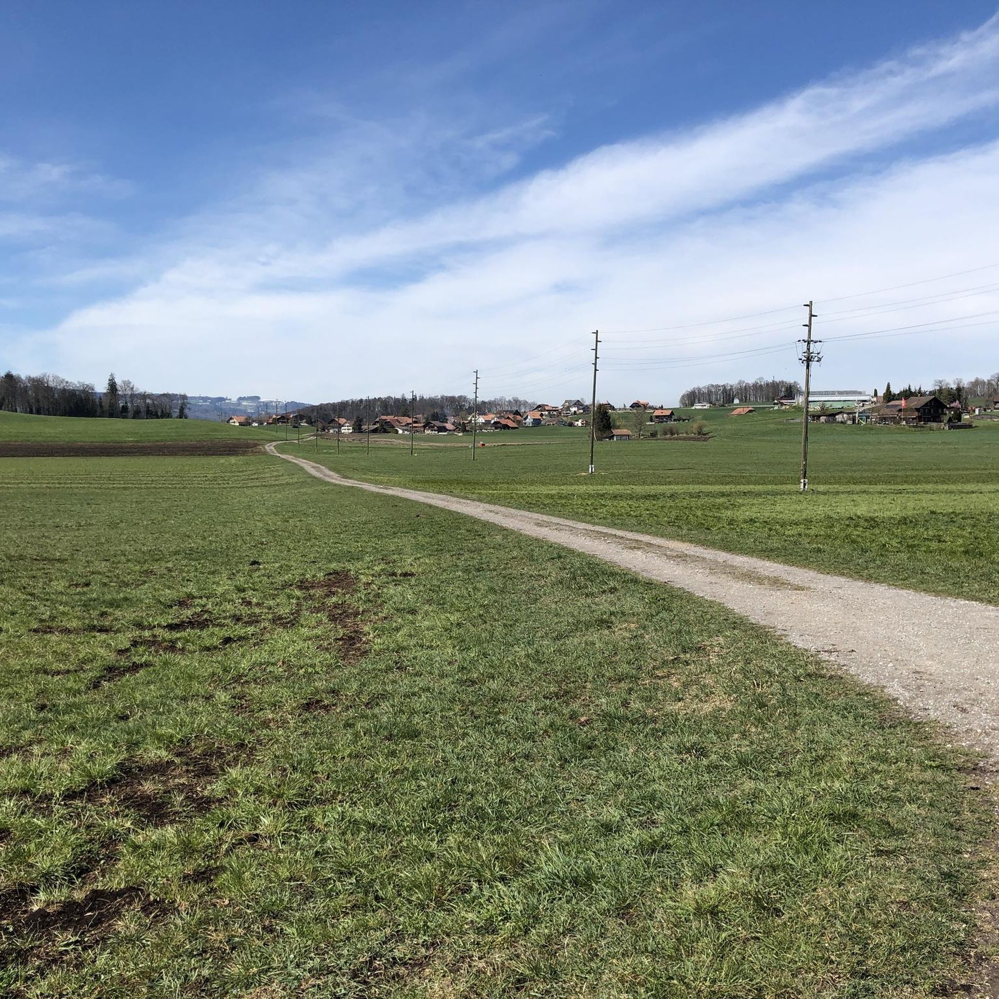
Simple up and down, past many a farmstead and some animals. Feudable parking spaces right by the train station in the form of a blue zone. With a cloudless sky, heavenly expanses and distant views towards Gantrischt and the Lake Thun region.
1
0

a quite imposing foothills of the Alps
0
0
Be sure to cross the bridge. If you follow the Way of St. James, the bridge will come either way 😉
0
0

komootモバイルアプリでインスピレーションを得よう


さらに探索
他の地域の最高のハイキングを見てみましょう。
