ルート

プランナー

機能

アップデート

App

ログインまたはサインアップ

アプリを入手

ログインまたはサインアップ

ルート
Places to see
Canyons
ドイツ
バーデン・ヴュルテンベルク
ラシュタット

フォルバック

フォルバックの峡谷・トップ20

フォルバックには 20
の息を呑むほど美しい峡谷があります。以下に紹介する必見の峡谷一覧に掲載されている写真、おすすめ情報、その他のデータを参考にして、次の冒険でフォルバックの美しい峡谷を訪れる際に役立てましょう。

最終更新日: 7月 14, 2026

ガイショレ

ハイライト • 滝

A narrow path winds through the wild and romantic gorge. The crossing takes place via stairs, footbridges and bridges with constantly changing perspectives of the waterfalls.

翻訳者 Google •

役立つ情報

によるものです

ここでのハイキングを見る

スマートフォンに送信

保存

You can let your imagination run wild at the waterfalls and the noble woman's grave. The stainless steel railing is a bit annoying, but you can hold on to when the path becomes uneven

翻訳者 Google •

役立つ情報

によるものです

保存

今すぐサインアップして、こんな場所を発見しよう

最高のシングルトラック、ピーク、その他のエキサイティングなアウトドアスポットのおすすめを受け取ろう。

無料新規登録

エーデルフラウエングラブの滝

ハイライト (セグメント) • 滝

Beautiful waterfall that you can walk to via steps and footbridges. A plaque tells the gruesome story of the noblewoman's grave.

翻訳者 Google •

役立つ情報

によるものです

保存

オール・セインツの滝

ハイライト • 滝

I recommend hiking the All Saints Falls from the bottom to the top; they look more spectacular this way, as you always have the falls in front of you. They …

翻訳者 Google •

役立つ情報

によるものです

保存

ウルフ峡谷

ハイライト • 峡谷

Small gorge with beautiful rock formations.

翻訳者 Google •

役立つ情報

によるものです

保存

無料でサインアップして、さらに多くの峡谷を発見しましょう フォルバックでの。

無料新規登録

すでにアカウントをお持ちですか?

無料アカウントで今日から始めよう

次の冒険が待っています。

ログインまたは登録

フォルバック周辺で人気

Experience the diverse Murg Valley in 5 stages – Murgleiter Trail
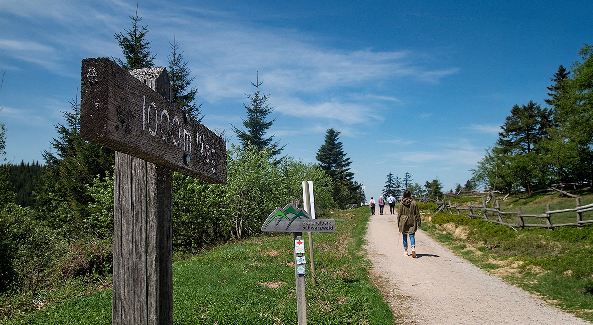
Barrier-free hikes in the Black Forest National Park

Coolcation in the Black Forest – hiking and cooling off in summer
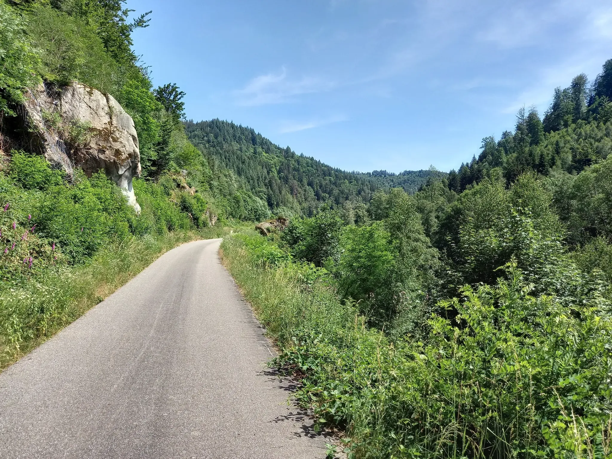
南ドイツを探索 - 自転車でカールスルーヘからコンスタンツまで
ブラックフォレストの深くに-ウエストウェグを通じての通過
トレッキング シュヴァルツワルト 8日間ツアー フォルバッハから アルピルスバッハまで
トレッキング ブラックフォレスト 7日間ツアー フォーバッハからビベラッハへ
トレッキング シュヴァルツワルト 6日間ツアー フォーバッハからゲンゲンバッハまで
ブラックフォレストで4日間のトレッキングツアーをグリムバッハ、ザイベルゼッケル、エルドベーアロッハへ
ブラックフォレストでのトレッキング4日間ツアー カンプシーベルゼックレ、グリムバッハ、シュヴァルツェンバッハへ

フォルバックでのの他の冒険

Experience the diverse Murg Valley in 5 stages – Murgleiter Trail

ハイキングのコレクション によって

Schwarzwald Tourismus

コミュニティからのヒント

Thomas 🚲🥾
3月 20, 2023, Edelfrauengrab Waterfalls

The legend of the name of the noblewoman's grave can be found here: https://ortenau-urlaub.de/?p=269

Google翻訳による翻訳

9

0

The Edelfrauengrab waterfalls owe their name to a naturally formed scouring cave right next to one of the waterfalls, where, according to legend, an unfaithful noblewoman met her violent end. In fact, the Gottschlägel nature reserve with the waterfalls and, further up, the Karlsruher Grat is an outstanding scenic attraction in the northern Black Forest. From the hiking car park (signposted), it is only a few steps to the lowest level of the waterfalls, where the Edelfrauengrab is also located. Of course, it is worth climbing further up the adventurous paths and footbridges along the Gottschlägbach. If you want to go on an adventurous hike, climb further up at the upper end of the Gottschlägel to the Karlsruher Grat, where you can then do the via ferrata. From the Bosensteiner Eck at the upper end of the via ferrata, the path then leads over the 'Brennte Schrofen' back to Ottenhöfen. The entire route is about 12 km, elevation difference 500 m, walking time should be 4-5 hours.

Google翻訳による翻訳

15

2

Nice hiking trail along the falls over stairs and bridges. In the extension you reach the via ferrata Karlsruher Grat.

Google翻訳による翻訳

13

1

The Wolfsschlucht (Wolf Gorge) is a rocky gorge below Ebersteinburg in Baden-Württemberg. It lies in the Northern Black Forest, northeast of the saddle (372.5 m above sea level), which lies between the Merkur in the south and the Ebersteinburg Schlossberg and the Battert in the north. The L79a state road runs over the saddle, connecting the Oostal (East Valley) near Baden-Baden with the Murgtal (Murg Valley) near Gaggenau-Selbach. The saddle and the road connection, which has gradients of up to 15%,[1] are colloquially known as the Wolfsschlucht (Wolf Gorge). The Wolfsschlucht (Wolf Gorge) is a geotope and one of six geological natural monuments in the urban district of Baden-Baden and is accessible via a hiking trail. Just below the saddle, the valley of the Selbach drops steeply to the east. At about 360 m above sea level, the Selbach valley reaches a height of 1,200 m. At NN, rock formations of Upper Rotliegend, arkoses and porphyry conglomerates emerge from the forest floor, forming impressive rocks due to silicification.

Google翻訳による翻訳

8

0

Definitely worth it, small waterfalls in a breathtaking landscape

Google翻訳による翻訳

19

1

A narrow path winds through the wild and romantic gorge. The crossing takes place via stairs, footbridges and bridges with constantly changing perspectives of the waterfalls.

Google翻訳による翻訳

15

1

Andi
11月 8, 2021, Gaishölle

The Gaishölle is a special place. The Brandbach cascades down into the valley. The best way to explore this wildly romantic gorge near Sasbachwalden with huge rocks and boulders is on a hike on our premium trail. With a height difference of around 200 meters and 13! Bridges go up to the Bischenberg/Hörchenberg district. Source: https://www.sasbachwalden.de/Media/Attractions/Gaishoell-Wasserfaelle

Google翻訳による翻訳

18

1

Impressive what nature has created, beautiful story (hangs on site).

Google翻訳による翻訳

13

1

フォルバックでのの人気ルート

フォルバックでのハイキング

フォルバックでのの人気観光スポット

Places to see

Store rating

komootモバイルアプリでインスピレーションを得よう

無料のkomootアカウントがあれば、無限のアウトドアコースを簡単に見つけてカスタマイズし、ナビで案内できます。

または

今すぐkomootに参加しよう

Store rating

さらに探索

この地域で全てを発見しましたか?次の冒険のために追加の渓谷を見てみましょうフォルバックでの:

ビュールビューラータールオッタースヴァイアーゲルンスバッハヴァイゼンバッハガゲナウロッフェナウクッペンハイムビシュヴァイアードゥルマースハイムムルクタールジンツハイムムッゲンシュトゥルムヒューゲルスハイムイフェッツハイム

近くのアドベンチャーガイド

Schwarzenbach-Talsperreでやるべきこと

background

新しいピークを征服する準備をしよう

無料でサインアップ

探検する
ルートルートプランナー機能ハイキングMTBトレイルロードバイクルートバイクパッキングサイトマップ
アプリをダウンロード
SNSでフォローする

© komoot GmbH

プライバシーポリシー