グリューンシュタット周辺のアトラクション&必見スポット - トップ20
グリューンシュタットには必見のスポットがたくさんあります。ハイキング愛好家やサイクリング愛好家の方は、ぜひグリューンシュタットを探索してこのエリアにある20
の隠れたスポットを訪れてみてください。このエリアの必見スポットを確認し、次の冒険に出かける計画を立てましょう。
最終更新日: 10月 23, 2026
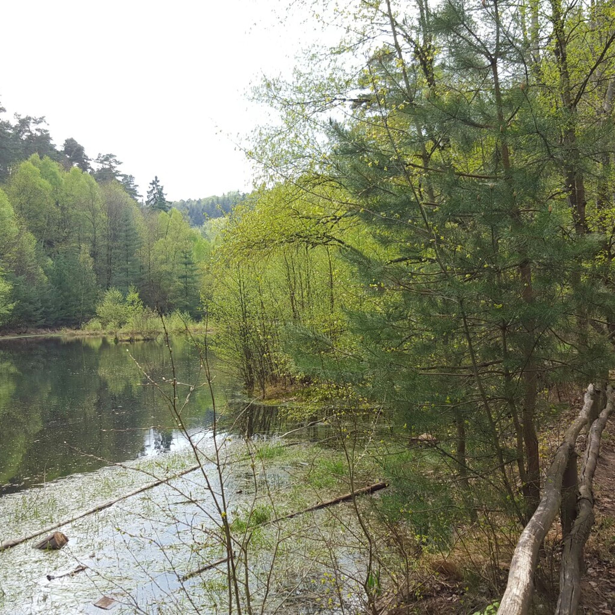
ウンゲホイア湖
ハイライト • 湖
翻訳者 Google •
役立つ情報 は

ローマ時代の採石場「Kriemhildenstuhl」
ハイライト • 歴史的な場所
Many display boards provide information on site about this cultural and historical highlight.
Due to the proximity to the city and the good …
翻訳者 Google •
役立つ情報 は

今すぐサインアップして、こんな場所を発見しよう
最高のシングルトラック、ピーク、その他のエキサイティングなアウトドアスポットのおすすめを受け取ろう。
「ワルトハウス・ランベルツクロイツ」(PWVランブレヒト)、広い屋外エリア付き
ハイライト • 山小屋
Class beer garden and other outdoor area.
翻訳者 Google •
役立つ情報 は

リンブルク修道院跡
ハイライト • 歴史的な場所
翻訳者 Google •
役立つ情報 は

ペータースコプフのビスマルク塔
ハイライト • 記念碑
開館時間に関する情報は、こちらでご覧いただけます: tourenplaner-rheinland-pfalz.de/de/punkt/kiosk/bismarckturm/2933417.
翻訳を表示中
役立つ情報 は

無料でサインアップして、さらに多くの観光スポットを発見しましょう グリューンシュタットでの。
すでにアカウントをお持ちですか?
無料アカウントで今日から始めよう
次の冒険が待っています。

コミュニティからのヒント

A highlight for big and small
24
2

In contrast to the (red) quarries in the middle of the Palatinate Forest, sandstone on the Haardt edge is white and yellow! Many of the inscriptions/pictures that can be found on the walls are explained on a beautiful information board and marked with red arrows on the walls of the quarry. Horse pictures are particularly easy to recognize. These rock paintings come from the Roman legionnaires who worked in the quarry here. Also carved into the stone: a large memorial plaque for the Bad Dürkheim soldiers who died in World War I and all their names.
23
2

The Ungeheuersee in the Leininger Sporn, part of the northeastern Palatinate Forest, is a shallow pond that is fed by the Krumbach. The lake has been protected as a natural monument since the 1930s. It has been listed in the official register since 1971 with the list number ND-7332-195. Source: Wikipedia Height above sea level: 359 m Maximum depth: 1.8 m Height above sea level: 357 m above NHN Length: 140 m Circumference: 400 m
16
1

Impressive ruin - due to the well-preserved ruin, it is easy to get an idea of the former monastery.
12
1

THE biker destination in the Palatinate Forest, crossroads in all directions
8
0

Limburg is always worth a visit. Historically interesting, beautiful view and farmed.
14
0

Very beautiful, well-preserved monastery ruins near Bad Dürkheim. The Limburg Monastery (after its collapse often also called the Limburg Monastery Ruins, once the Abbey of the Holy Cross or Limburg Monastery on the Haardt) is a former Benedictine abbey that existed from the 11th century until the Reformation. It is located on the eastern edge of the Palatinate Forest in the area of the Rhineland-Palatinate district town of Bad Dürkheim. The Romanesque-style complex now only exists as a ruin. It is one of the largest and most important monuments of early Salian architecture. The Limburg Monastery Ruins are located in the Palatinate Forest Nature Park, exposed above the south bank of a left tributary of the Rhine, the Isenach, which breaks through the Haardt, the eastern edge of the Palatinate Forest, to the west of Bad Dürkheim and first enters the hilly country on the German Wine Route, then the Rhine plain. The complex is located on today's Limburgberg, which is 260.5 m high, northeast of the summit slightly below at a height of 245 to 250 m.[4] Outside the monastery grounds is the Haardtrand - Am Limburgberg nature reserve, founded in 1989 and covering around 12 hectares (area number: NSG-7332-109, World Database on Protected Areas - Haardtrand - Am Limburgberg The Limburg can be reached on foot via the Bad Dürkheim districts of Grethen and Hausen, and by car via the Seebach district. Surroundings
13
1

A very informative quarry, you can't get away here for the time being. So many types of rock and fragments, really great
15
1
グリューンシュタットでのの人気観光スポット

komootモバイルアプリでインスピレーションを得よう


さらに探索
まだ探しているハイライトが見つかりませんか?他の地域のトップアトラクションのガイドを見てみましょう:
