Hookのおすすめウォーキング&ハイキングルート
4.2
(128)
948
ハイカー
69
ハイキング
Hook 周辺でおすすめのハイキングやウォーキングを楽しんでいただけるように、このエリアの小径やルートを集めたkomootコレクション全体を見直しました。 以下で各ルートの詳細をご覧になり、Hook周辺の大自然を満喫する際の参考にしてください。
最終更新日: 10月 8, 2026
5.0
(1)
10
ハイカー
3.16km
00:52
50m
50m
中程度のハイキング. あらゆるフィットネスレベルに適しています。 全般的に進みやすいルートです。安定して歩行できる技術が必要です。
2
ハイカー
6.72km
01:50
120m
120m
初級者向けハイキング. あらゆるフィットネスレベルに適しています。 進みやすいルートです。あらゆるスキルレベルに適しています。

3.0
(2)
3
ハイカー
7.87km
02:06
90m
90m
中程度のハイキング. ある程度のフィットネスレベルが必要です。 進みやすいルートです。あらゆるスキルレベルに適しています。
1
ハイカー
2.98km
00:49
50m
50m
初級者向けハイキング. あらゆるフィットネスレベルに適しています。 進みやすいルートです。あらゆるスキルレベルに適しています。
1
ハイカー
初級者向けハイキング. あらゆるフィットネスレベルに適しています。 進みやすいルートです。あらゆるスキルレベルに適しています。
さらに多くのルートや他のユーザーのおすすめ情報を確認できます。
すでにアカウントをお持ちですか?
おすすめのツアーは他のkomootユーザーが実際に経験した何千ものアクティビティに基づいています。
無料アカウントで今日から始めよう
次の冒険が待っています。
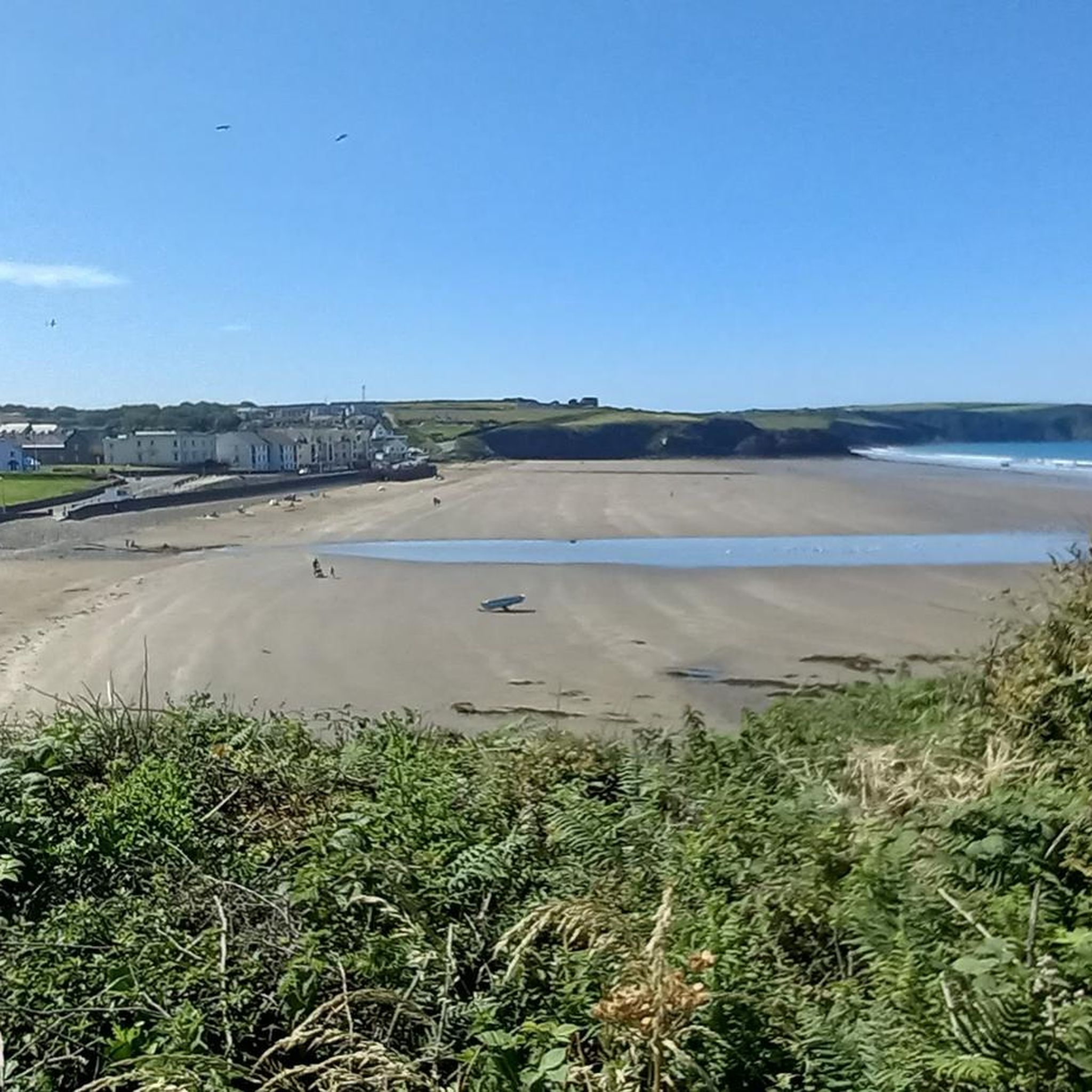
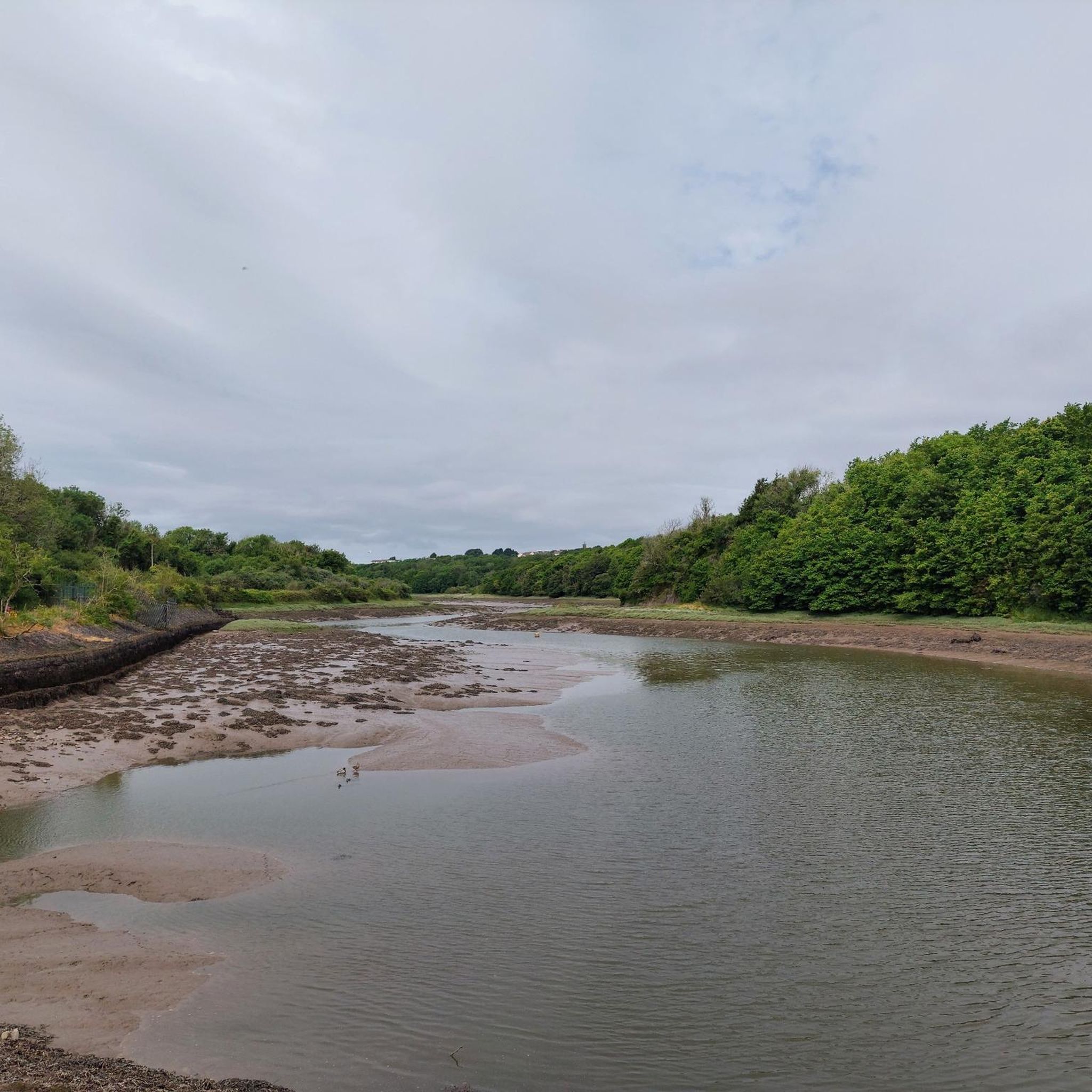

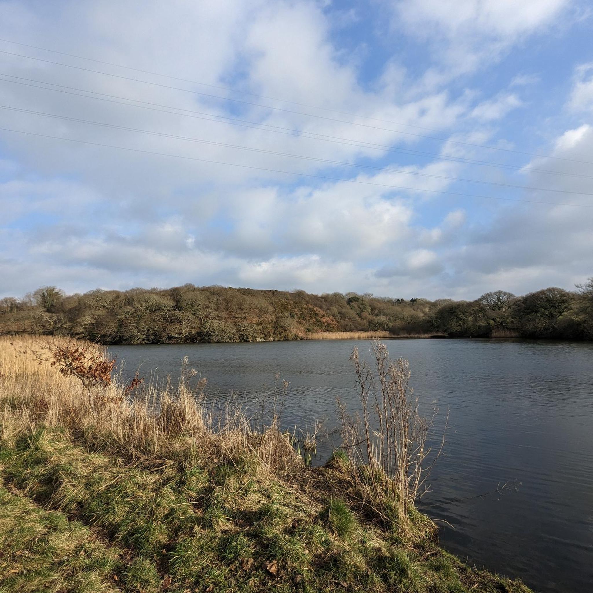
コミュニティからのヒント

This is a lovely stretch of woodland on the banks of the Daugleddau Estuary. The area around here has many old mine workings, as well as flooded lagoons. Expect superb estuary views across towards Blacktar Point and the village of Llangwm.
0
0
The little village of Llangwm, on the Daugleddau Estuary, has some lovely walking in its surroundings. You'll find good food at the quirky Cottage Inn – perfect after a visit to Blacktar Point or an amble to Benton Wood.
0
0

Llangwm is a village with a history dating back to the Vikings. It is believed that the Vikings sailed up the Cleddau Estuary to overwinter.
0
0

Llangwm is a pretty Pembrokeshire village, built around the inlet of Llangwm Pill. The foreshore isn't accessible at high tide, and can be muddy and slippery in places. Check your tide tables!
0
0
A lovely narrow woodland, with low, mid and high path options. Views of the Western Cleddau change with the tides, from large expanses of mudflats, to a wide river, virtually motionless or speeding with the push or drag of the tides. Views open out to the Preseli's in the distance. Can be boggy in places.
0
0
Little Milford Woods is a mixed woodland on the banks of the Western Cleddau. It's managed by the National Trust and is free to access and park. The myriad paths through the woods incorporate streams, old limekilns, coal mines and adits. It can get pretty boggy in places, unless you're visiting during a dry summer, waterproof boots recommended!
0
0
Blacktar Point likely takes its name from the days when the river around Llangwm was busy with commercial boats - the tar being used to keep the boats waterproof. A large fleet of small boats from here fished for herring, also salmon, sea trout and shellfish.
0
0
Landshipping is a lovely little hamlet on the banks of the eastern Cleddau. It was once a hive of activity, with a busy ferry terminal and coal port operating from the now abandoned quay. The Garden Pit was the site of a terrible mining disaster in 1844 when the sea broke into the mine workings. 42 people were killed – many of them women and children. The area is peppered with mine workings and flooded lagoons.
1
0
Hookの人気観光スポット

komootモバイルアプリでインスピレーションを得よう


さらに探索
他の地域の最高のハイキングを見てみましょう。
