Hacknessのおすすめウォーキング&ハイキングルート
4.5
(1064)
9,694
ハイカー
326
ハイキング
Hackness 周辺でおすすめのハイキングやウォーキングを楽しんでいただけるように、このエリアの小径やルートを集めたkomootコレクション全体を見直しました。 以下で各ルートの詳細をご覧になり、Hackness周辺の大自然を満喫する際の参考にしてください。
最終更新日: 10月 12, 2026
4.4
(5)
15
ハイカー
6.85km
01:58
170m
170m
初級者向けハイキング. あらゆるフィットネスレベルに適しています。 進みやすいルートです。あらゆるスキルレベルに適しています。
4.5
(4)
9
ハイカー
10.8km
02:57
160m
160m
This moderate 6.7-mile (10.8 km) hike in North York Moors offers panoramic views from Barns Cliff End and Reasty Hill Top.

2
ハイカー
18.0km
04:58
310m
310m
Hike the moderate 11.2-mile Langdale Rigg End and Langdale Forest loop for diverse terrain and panoramic views in North York Moors National
1
ハイカー
21.3km
05:52
340m
340m
難しいハイキング. 標準以上のフィットネスレベルが必要です。 全般的に進みやすいルートです。安定して歩行できる技術が必要です。
4.3
(6)
27
ハイカー
14.1km
03:58
250m
260m
中程度のハイキング. ある程度のフィットネスレベルが必要です。 進みやすいルートです。あらゆるスキルレベルに適しています。
さらに多くのルートや他のユーザーのおすすめ情報を確認できます。
すでにアカウントをお持ちですか?
おすすめのツアーは他のkomootユーザーが実際に経験した何千ものアクティビティに基づいています。
無料アカウントで今日から始めよう
次の冒険が待っています。
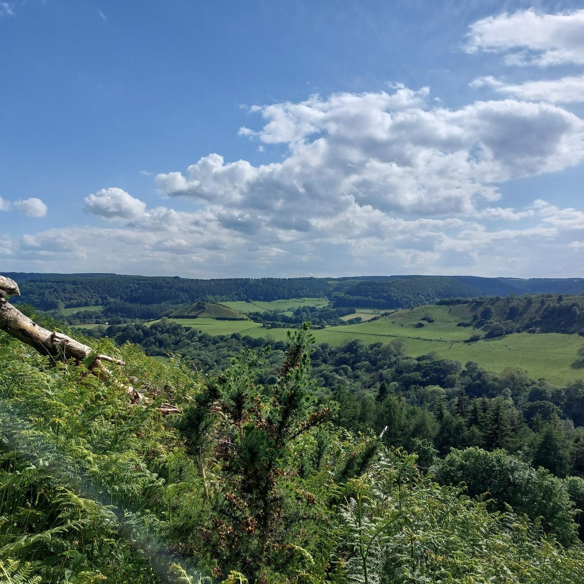
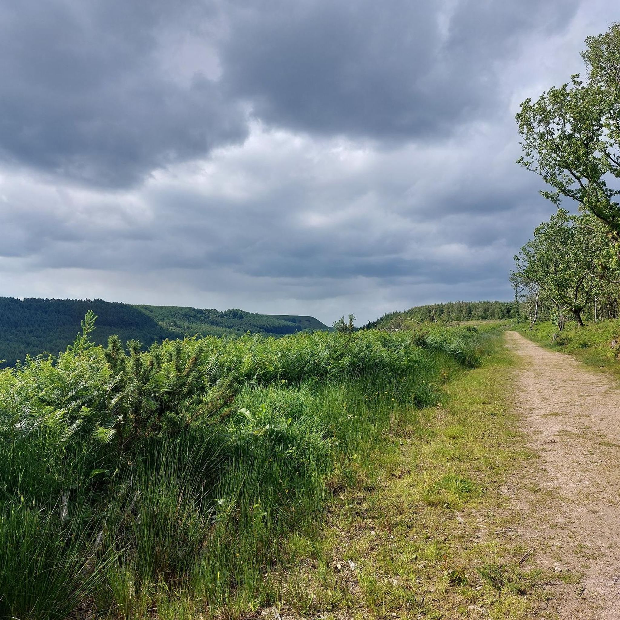
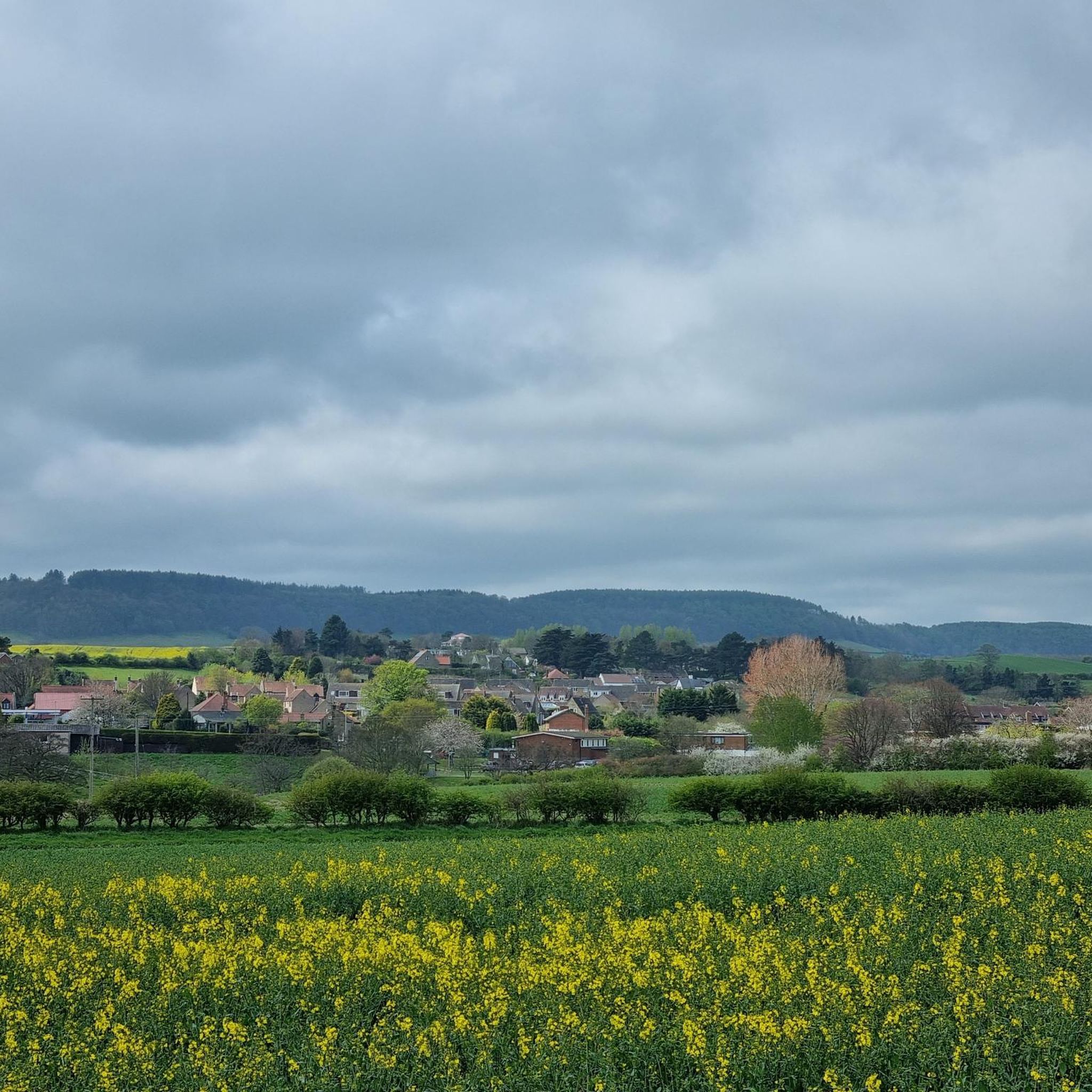

コミュニティからのヒント


Avoid overcrowded Dalby Forest and try Broxa Forest instead, or a little further west, Langdale Forest just across the River Derwent.
1
0

nice to get up the hill and feel a breeze on a hot day
0
0
collapsed trees alert be careful
0
0
An easy track to traverse Langdale Forest, much larger and much quieter than Dalby Forest. Dalby Snout runs from Black Beck / Black Wood in the south, for nearly 3 miles up to Derwent Head Rigg, just to the east of RAF Fylingdales. Fairly gentle incline as you travel from south to north, with great views down to the south.
0
0
Actually two crossings here very close to each other. A wooden footbridge crosses Harwood Dale Beck and stepping stones are in place to cross the River Derwent. There are two sets of stepping stones, and the stones in both sets are spaced quite far apart. I chose the upstream set of stones, and had to manhandle a stone into a more stable position at the river bank to close the gap to the next stone. Probably easier if you have trekking poles.
1
0
The lower section of this trail is quite steep with lots of slippery tree roots, a bit easier going higher up. Connects Barns Cliff End with the bridge and stepping stones over Harwood Dale Beck and the River Derwent respectively.
1
0
Hacknessの人気観光スポット

komootモバイルアプリでインスピレーションを得よう


さらに探索
他の地域の最高のハイキングを見てみましょう。
