グラフェンバーグのおすすめウォーキング&ハイキングルート
4.6
(22455)
86,121
ハイカー
18
ハイキング
グラフェンバーグ 周辺でおすすめのハイキングやウォーキングを楽しんでいただけるように、このエリアの小径やルートを集めたkomootコレクション全体を見直しました。 以下で各ルートの詳細をご覧になり、グラフェンバーグ周辺の大自然を満喫する際の参考にしてください。
最終更新日: 9月 11, 2026
4.7
(63)
268
ハイカー
10.2km
02:53
220m
220m
中程度のハイキング. ある程度のフィットネスレベルが必要です。 進みやすいルートです。あらゆるスキルレベルに適しています。
4.7
(64)
257
ハイカー
6.58km
01:49
110m
110m
初級者向けハイキング. あらゆるフィットネスレベルに適しています。 進みやすいルートです。あらゆるスキルレベルに適しています。

4.7
(44)
165
ハイカー
11.0km
03:16
320m
320m
中程度のハイキング. ある程度のフィットネスレベルが必要です。 進みやすいルートです。あらゆるスキルレベルに適しています。
4.2
(5)
38
ハイカー
8.41km
02:17
120m
120m
中程度のハイキング. ある程度のフィットネスレベルが必要です。 進みやすいルートです。あらゆるスキルレベルに適しています。
4.3
(4)
28
ハイカー
8.71km
02:24
150m
150m
中程度のハイキング. ある程度のフィットネスレベルが必要です。 進みやすいルートです。あらゆるスキルレベルに適しています。
さらに多くのルートや他のユーザーのおすすめ情報を確認できます。
すでにアカウントをお持ちですか?
おすすめのツアーは他のkomootユーザーが実際に経験した何千ものアクティビティに基づいています。
無料アカウントで今日から始めよう
次の冒険が待っています。


コミュニティからのヒント

良い中心部に位置する場所で、あらゆる方向につながっています。例えば、樹木園へ
0
0


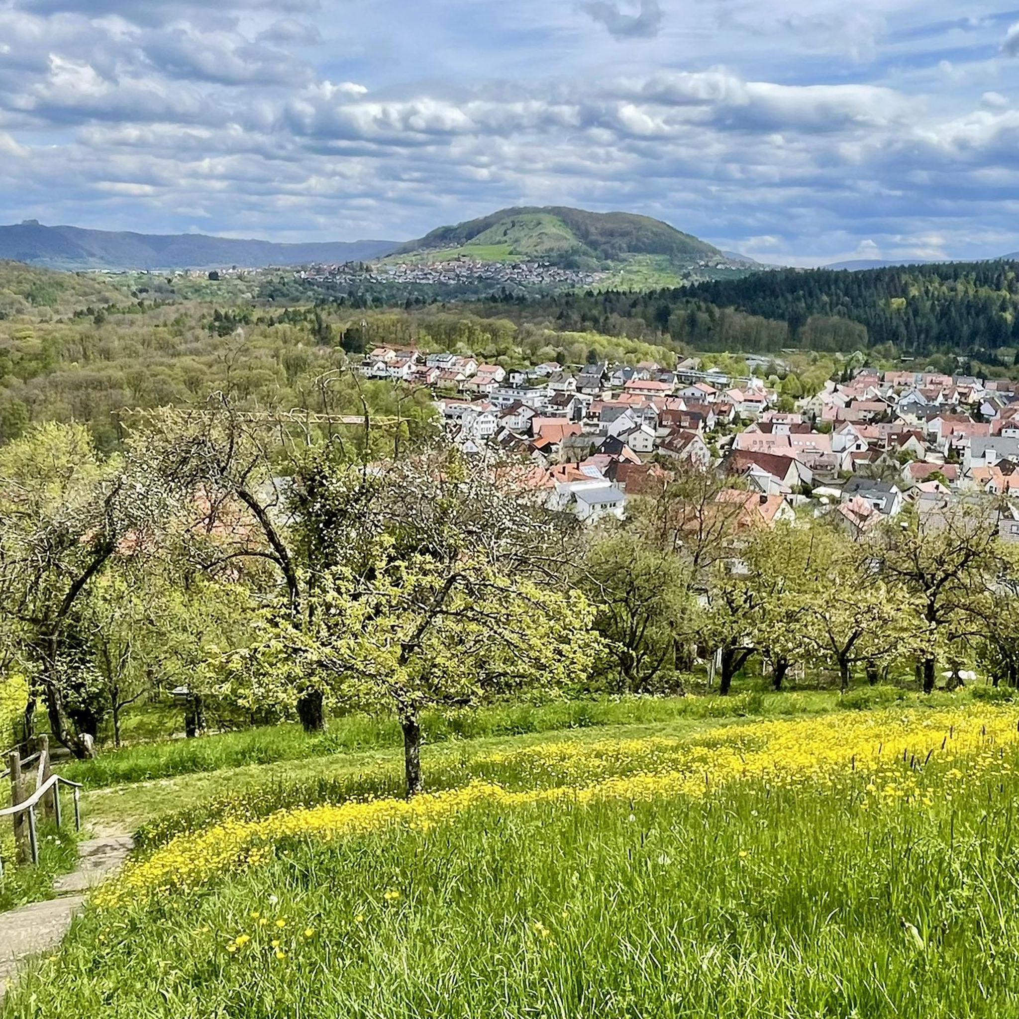
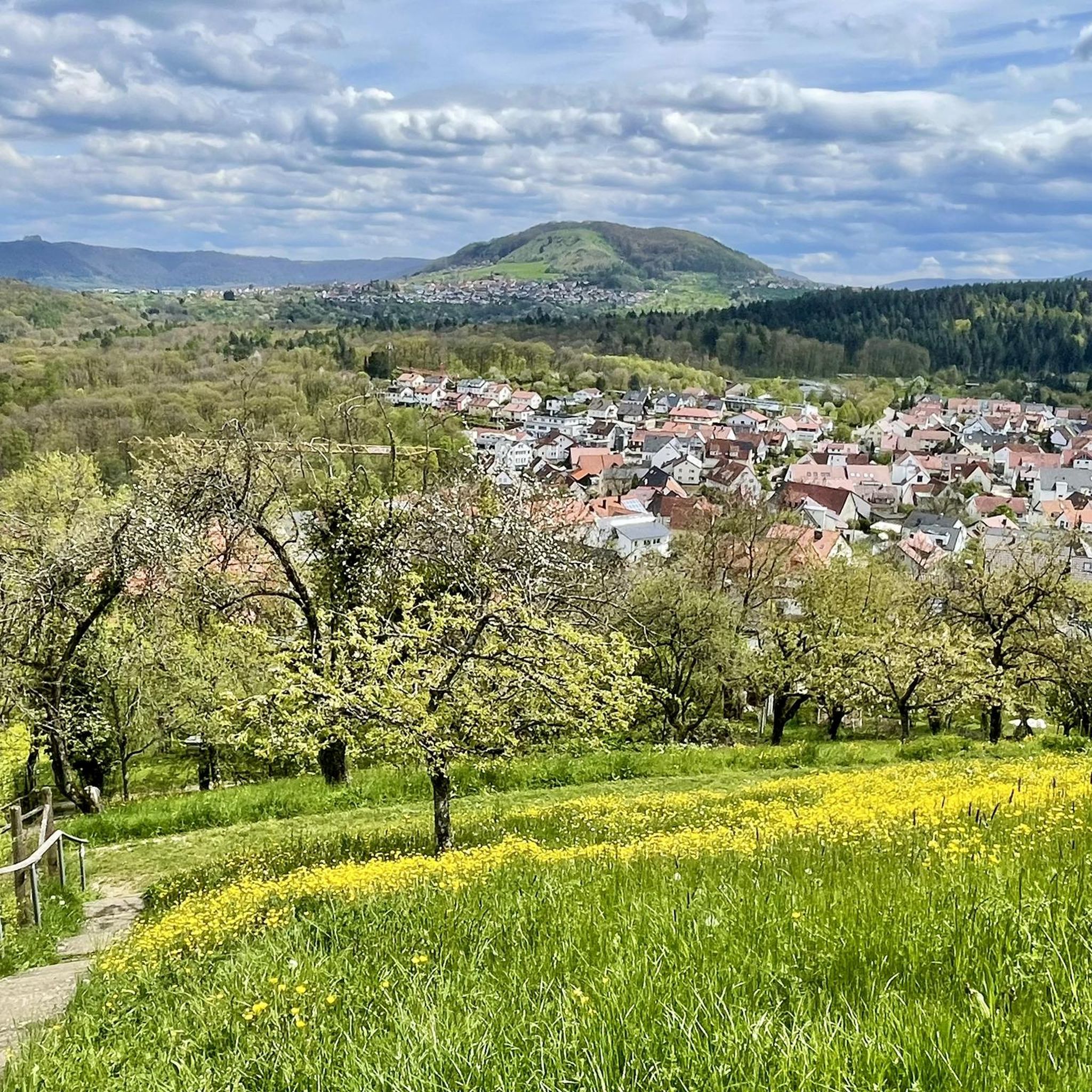
The Jusi, also known as the Jusiberg or Jusenberg, is a 672.6 m above sea level mountain on the Albtrauf ridge south of Kohlberg and east of the Kappishäusern district of Neuffen in the Esslingen district of Baden-Württemberg. Source: Wikipedia
1
0

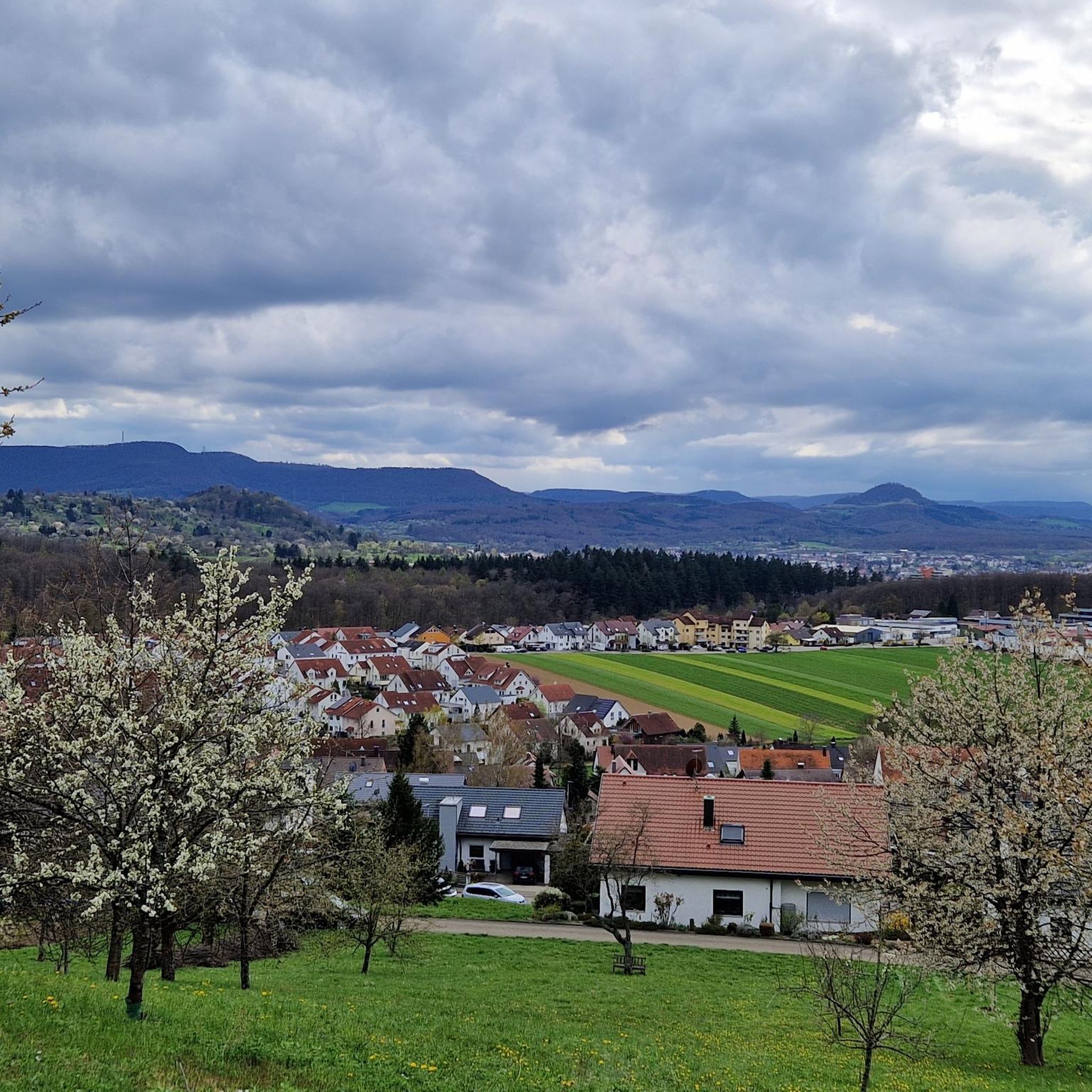
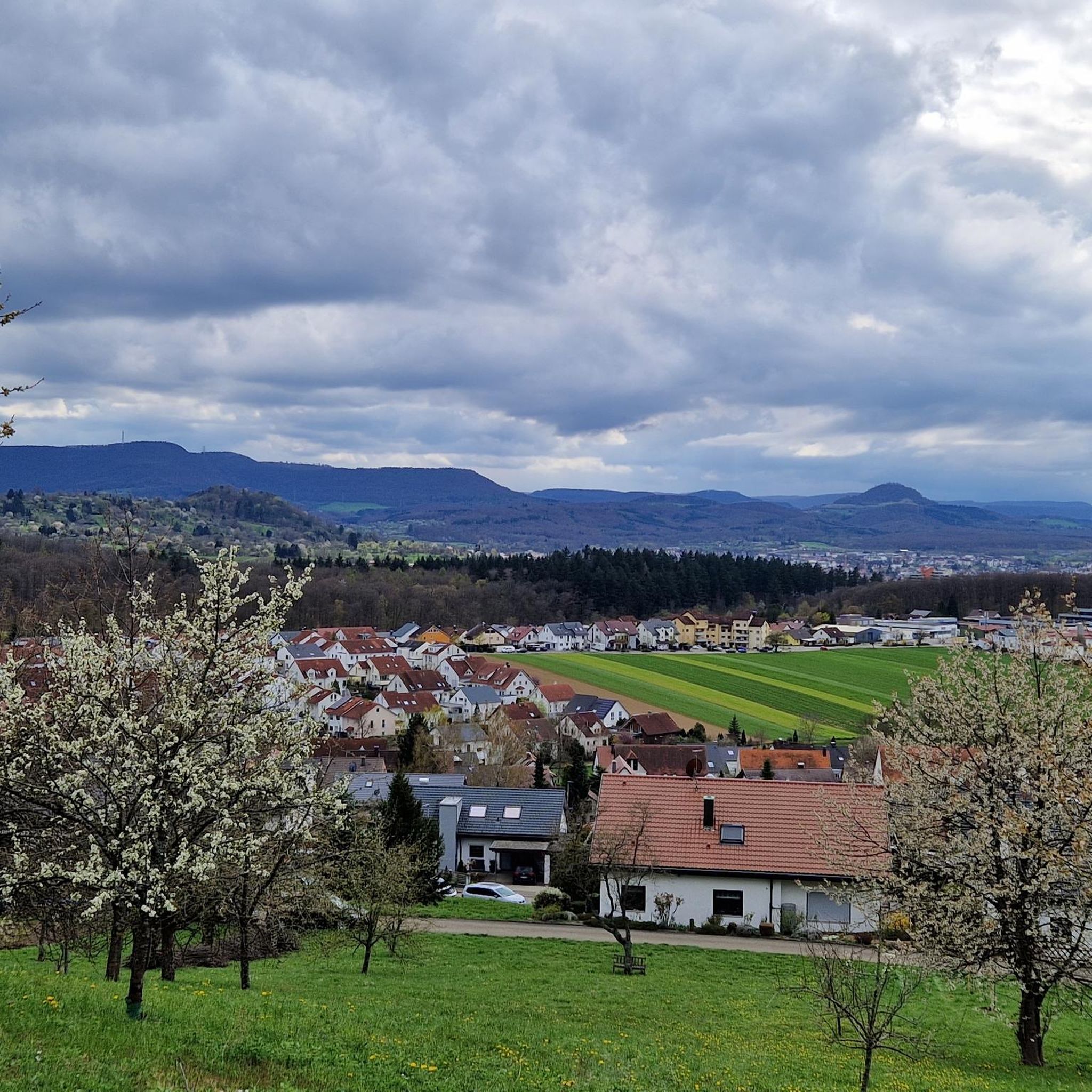
A lovely, shady spot among the trees with a bench and a great view. A few meters further on, there's another bench.
1
0

From the top of Grafenberg, you have a magnificent view! Numerous benches invite you to relax and linger.
5
0
On Bergstrasse, opposite the Krone Inn, stands a historic draw well. The mechanical "pull" force of a draw well is exerted by pulleys. The amount of water drawn depends on the accumulation of water in the well and is therefore limited in quantity by the strength and speed of the overflow. Due to the topographical location of the old Grafenberg, there were no springs; only groundwater, which had to be fetched up in buckets.
3
0

komootモバイルアプリでインスピレーションを得よう


さらに探索
他の地域の最高のハイキングを見てみましょう。
