Obszaのおすすめウォーキング&ハイキングルート
4.8
(170)
2,003
ハイカー
39
ハイキング
Obsza 周辺でおすすめのハイキングやウォーキングを楽しんでいただけるように、このエリアの小径やルートを集めたkomootコレクション全体を見直しました。 以下で各ルートの詳細をご覧になり、Obsza周辺の大自然を満喫する際の参考にしてください。
最終更新日: 10月 17, 2026
5.0
(1)
5
ハイカー
初級者向けハイキング. あらゆるフィットネスレベルに適しています。 進みやすいルートです。あらゆるスキルレベルに適しています。
5.0
(12)
155
ハイカー
5.45km
01:25
30m
30m
初級者向けハイキング. あらゆるフィットネスレベルに適しています。 進みやすいルートです。あらゆるスキルレベルに適しています。

4.8
(9)
174
ハイカー
2.88km
00:45
20m
20m
初級者向けハイキング. あらゆるフィットネスレベルに適しています。 進みやすいルートです。あらゆるスキルレベルに適しています。
25
ハイカー
2.92km
00:45
10m
10m
初級者向けハイキング. あらゆるフィットネスレベルに適しています。 進みやすいルートです。あらゆるスキルレベルに適しています。
5.0
(4)
25
ハイカー
15.5km
04:00
90m
90m
中程度のハイキング. ある程度のフィットネスレベルが必要です。 進みやすいルートです。あらゆるスキルレベルに適しています。
さらに多くのルートや他のユーザーのおすすめ情報を確認できます。
すでにアカウントをお持ちですか?
おすすめのツアーは他のkomootユーザーが実際に経験した何千ものアクティビティに基づいています。
無料アカウントで今日から始めよう
次の冒険が待っています。



コミュニティからのヒント


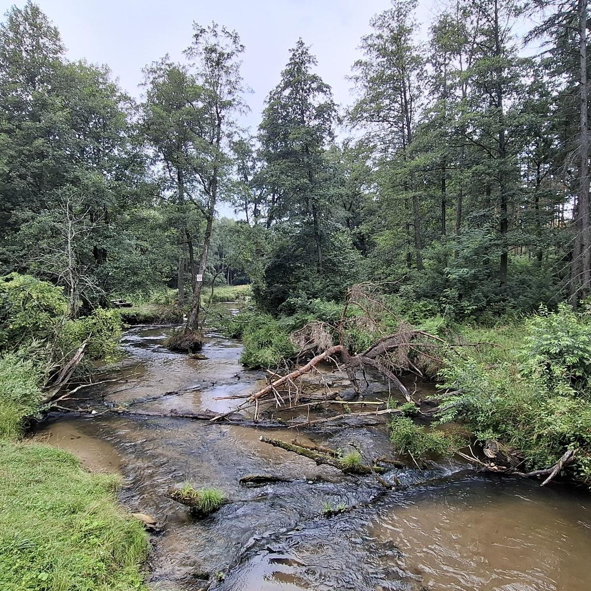
The Tanew River and a picturesque area in the forest with gorges and small waterfalls.
0
0

The former border between the partitions
0
0

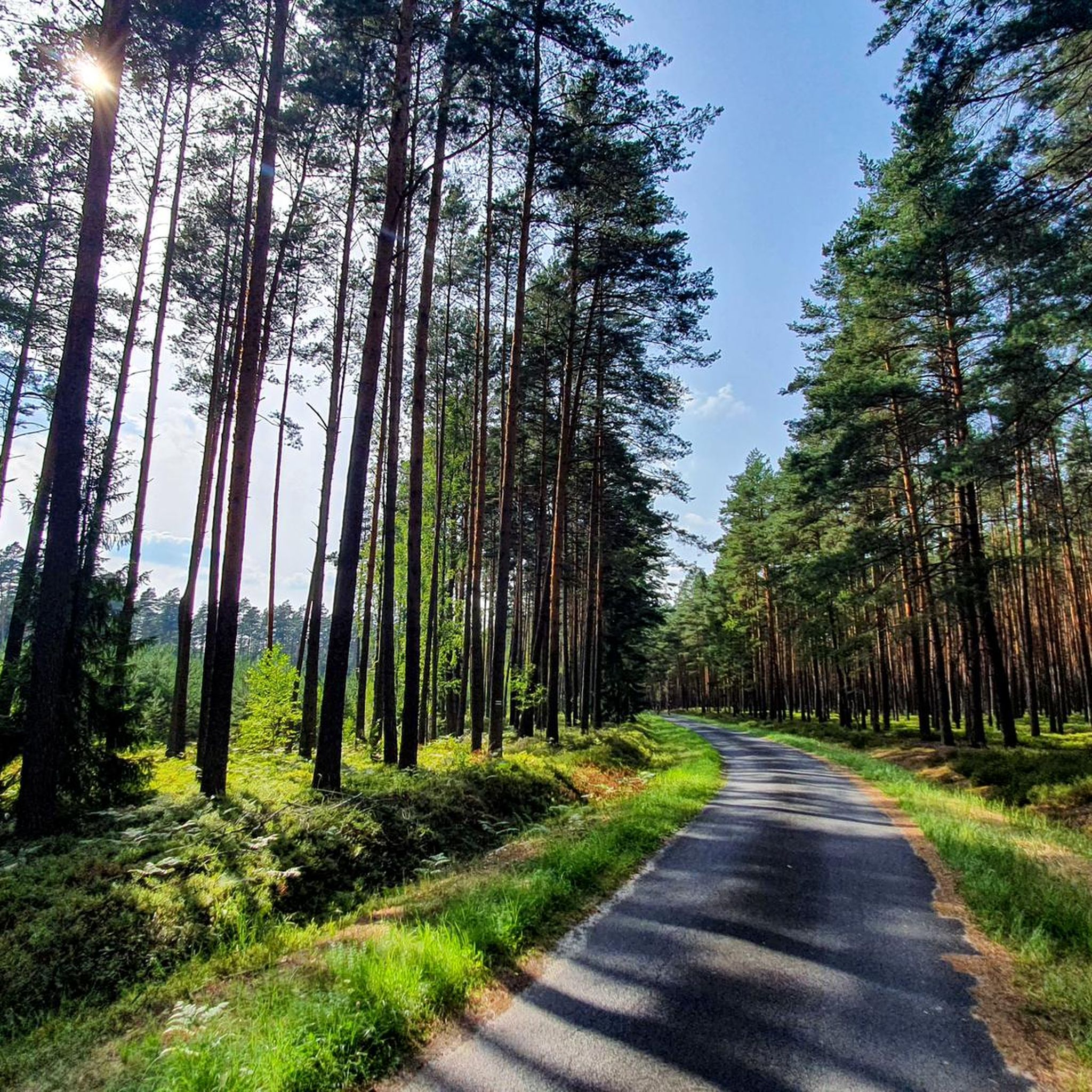
Beautiful nature along the entire length of the route.
0
0
The perfect place to relax, the waterfall roars soothingly.
0
0

These movies will never get boring, the older the better.
0
0

The path runs on both sides of the Tanew River and shows a fragment of one of the most interesting landscape reserves in Roztocze, the "Nad Tawią" reserve. The path starts from the forest parking lot, located on the Susiec-Cieszanów road at the beginning of the village of Huta Szumy, just before the bridge over the Tanew River (driving from Susiec towards Cieszanów). The route is marked in the trees with white squares with a red diagonal stripe. The length of the route is approximately 3 km. Tourists visiting this place are provided with wooden tables and benches, educational boards, wooden platforms with handrails, wooden stairs, waste bins and toilets. This is where you can see waterfalls commonly called "szumy" or "szypoty" and get acquainted with various forest complexes and other extremely interesting elements of nature.
0
1
The ruins are the remains of a once large industrial plant of the Zamość estate built in the 18th century. In the years of the Duchy of Warsaw and the Kingdom of Poland, the plant was leased by Lejbuś Kahan, and then Cała Wax - the owner of the Hebrew printing house in Józefów. In the 1830s, approximately 4,000 reams of paper were produced here, which constituted 80% of the total production in the Lublin Governorate. Over 9 types of paper, including wrapping, printing, office and stamp paper. Paper was made by hand, mainly from rags. An interesting fact is that it contained a watermark - the lord's monogram or the Zamoyski family's coat of arms. It is one of the largest plants in the Kingdom of Poland. He used the power of the Sopot River flowing down. The collapse of the paper mill was directly caused by floods in 1849 and 1870 and a fire in 1883, after which the reconstruction of the plant became unprofitable due to the enormous damage.
0
0
Obszaの人気観光スポット

komootモバイルアプリでインスピレーションを得よう


さらに探索
他の地域の最高のハイキングを見てみましょう。
