ゲーラベルクのおすすめウォーキング&ハイキングルート
4.6
(1045)
3,364
ハイカー
70
ハイキング
ゲーラベルク 周辺でおすすめのハイキングやウォーキングを楽しんでいただけるように、このエリアの小径やルートを集めたkomootコレクション全体を見直しました。 以下で各ルートの詳細をご覧になり、ゲーラベルク周辺の大自然を満喫する際の参考にしてください。
最終更新日: 7月 28, 2026
4.4
(76)
230
ハイカー
11.3km
03:20
320m
310m
中程度のハイキング. ある程度のフィットネスレベルが必要です。 全般的に進みやすいルートです。安定して歩行できる技術が必要です。
4.9
(24)
65
ハイカー
12.1km
03:31
300m
300m
中程度のハイキング. ある程度のフィットネスレベルが必要です。 全般的に進みやすいルートです。安定して歩行できる技術が必要です。

無料新規登録
4.2
(29)
48
ハイカー
7.38km
02:16
220m
220m
中程度のハイキング. ある程度のフィットネスレベルが必要です。 全般的に進みやすいルートです。安定して歩行できる技術が必要です。
4.9
(22)
52
ハイカー
15.3km
04:51
520m
520m
難しいハイキング. ある程度のフィットネスレベルが必要です。 安定して歩行できる技術、丈夫な靴、高標高地での登山経験が必要です。
4.9
(26)
41
ハイカー
16.1km
04:53
440m
440m
中程度のハイキング. ある程度のフィットネスレベルが必要です。 全般的に進みやすいルートです。安定して歩行できる技術が必要です。
さらに多くのルートや他のユーザーのおすすめ情報を確認できます。
無料新規登録
すでにアカウントをお持ちですか?
おすすめのツアーは他のkomootユーザーが実際に経験した何千ものアクティビティに基づいています。



コミュニティからのヒント


Forty years ago (in East Germany), this area was home to the largest thermometer factory in Europe. The thermometer at the roundabout serves as a reminder of this.
0
0
Picnic in the valley, a shared experience before or after a hike through the valley, either to Gehlberg or to the "Mönchshof".
1
0

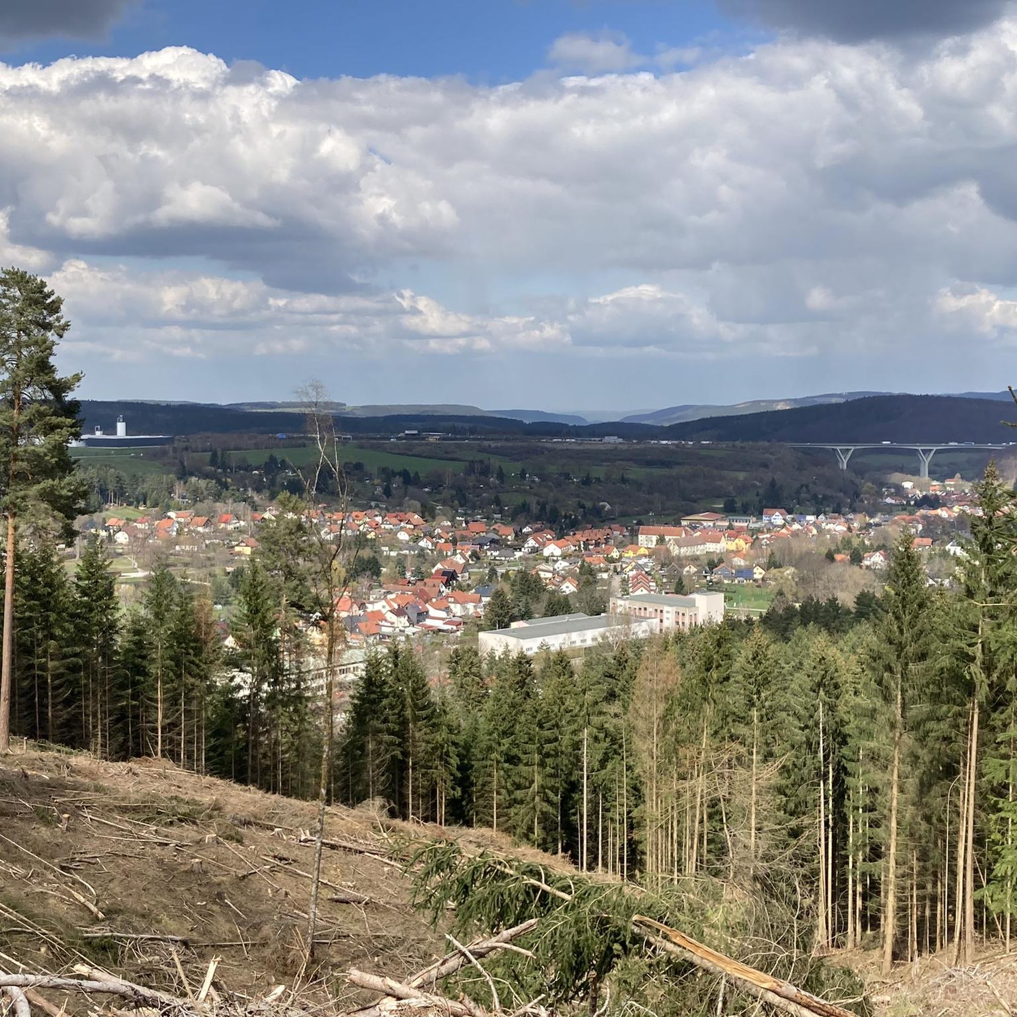
The shelter is currently being rebuilt, but the rustic tree that stood next to it is likely gone forever. However, you can still enjoy the view of Geraberg.
1
0

The Swedish hut is no longer there...it's a very steep descent and a tight turn from Elgersburg. On a mountain bike, I think it's mostly a push-along section.
1
0

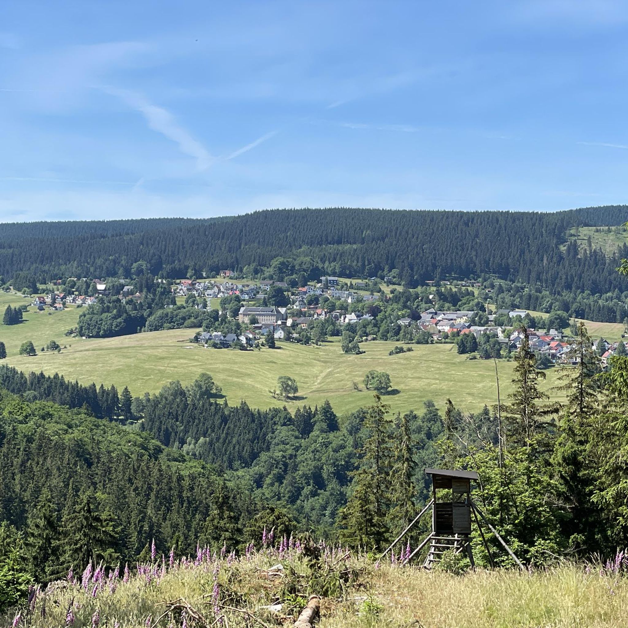
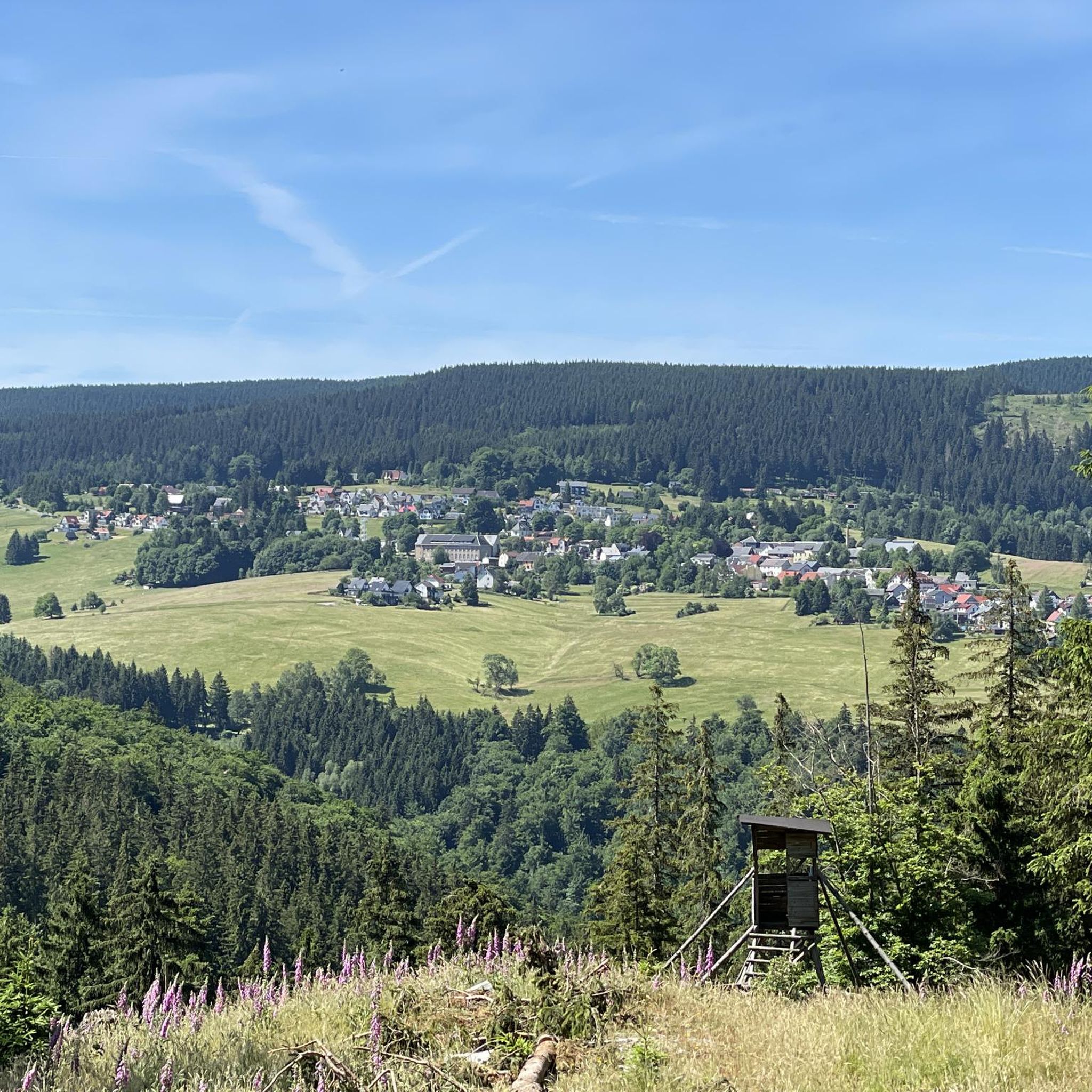
beautiful, easily overlooked viewpoint with a view of Schneekopf and Brand
0
0

Robber's castle or "Alteburg" 🏰 Legendary ruin from the High Middle Ages ⚔️ The so-called "robber's castle", which is the subject of several legends from the Thuringian Forest, is also often referred to as "Alteburg". The ruin is a rectangular fortification from the High Middle Ages that served to protect the former trade route from Erfurt across the Thuringian Forest to southern Germany. The rampart in the east, remnants of the ring wall (reconstructed), the cistern and the moat are still preserved today. The castle was probably built in 1150 by the Counts of Käfernburg. The name "robber's castle" seems to be based on the fact that the complex passed into the possession of robber barons several times during various battles in the 13th century. The ruins are a popular tourist destination. It is located on the western spur of the Arlesberg in Gräfenroda between Dörrberg and Geschwenda on the northern edge of the Thuringian Forest, above the Erfurt-Oberhof-Suhl railway line, which runs through the valley of the Wild Gera.
4
0
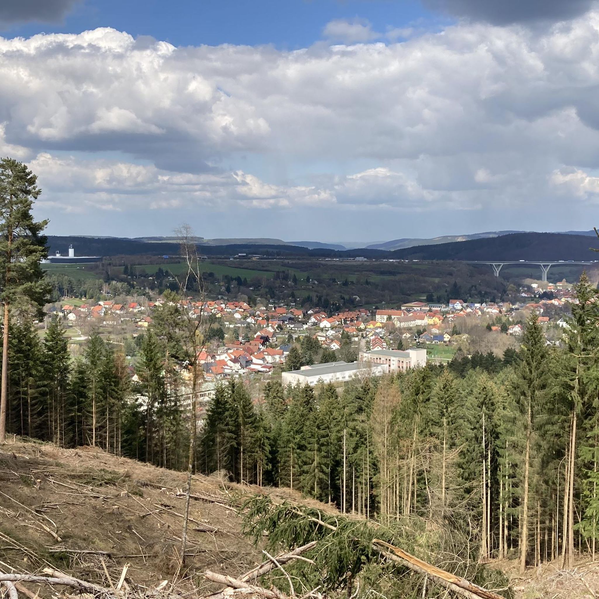
Best view of the A71 and the Schneekopf with a bench "South Thuringia's most beautiful views"
2
0

komootモバイルアプリでインスピレーションを得よう


さらに探索
他の地域の最高のハイキングを見てみましょう。
