Peral周辺のアトラクション&必見スポット - トップ5
Peralには必見のスポットがたくさんあります。ハイキング愛好家やサイクリング愛好家の方は、ぜひPeralを探索してこのエリアにある5
の隠れたスポットを訪れてみてください。このエリアの必見スポットを確認し、次の冒険に出かける計画を立てましょう。
最終更新日: 9月 7, 2026
Portas de Ródão
ハイライト • 峡谷
翻訳者 Google •
役立つ情報 は

Centro Interpretativo do Conhal
ハイライト • 休憩所
Location: The Conhal Interpretive Center is located in the village …
翻訳者 Google •
役立つ情報 は

今すぐサインアップして、こんな場所を発見しよう
最高のシングルトラック、ピーク、その他のエキサイティングなアウトドアスポットのおすすめを受け取ろう。
Ilha do Cabecinho
ハイライト • 自然
翻訳者 Google •
役立つ情報 は
コニャウ・ド・アルネイロのローマ時代の金鉱山
ハイライト • 歴史的な場所
翻訳者 Google •
役立つ情報 は
オクレザ川沿いのグラベル道
ハイライト • トレイル
役立つ情報 は

無料アカウントで今日から始めよう
次の冒険が待っています。
Peral周辺で人気
コミュニティからのヒント

Stop on the bridge to absorb the grandeur of this unique geological feature. And look for the vultures in the sky!
0
0

The Portas de Ródão are a geological formation located near Vila Velha de Ródão, resulting from the intersection of the hard quartzite relief of the Serra das Talhadas with the course of the River Tagus. At this location, there is a narrowing of the valley, which runs between two steep walls, which reach about 170 m in height, resembling two "gates", one to the north in the District of Castelo Branco, Beira Baixa, and another to the south in the Municipality of Nisa, District of Portalegre, Alto Alentejo.[1][2][3] The embedding of the Tagus began by upward erosion, about 2.6 million years ago, taking advantage of tectonic accidents associated with the Pônsul fault, and occurred in several stages, reflected in river terraces and platforms embedded by erosion, most visible on the right bank upstream of the Portas. The large lake and the great depths immediately downstream from Portas bear witness to the grandeur of the waterfall that must have existed here before the current equilibrium phase was reached.
0
0

The Conhal Interpretive Center is a fascinating place located in the Naturtejo Geopark, in the municipality of Nisa, in Portugal. Location: The Conhal Interpretive Center is located in the village of Arneiro, close to the Conhal Interpretive Center. The address is Rua da Escola Primária, 6050-452 Nisa. You can contact them by phone: +351 245 098 059 or by email: geral@cm-nisa.pt. Opening Hours: The center is temporarily closed due to the COVID-19 situation. When open, the hours are as follows: Wednesday to Friday: 9am to 1pm Saturdays and Sundays: from 9am to 12:30pm and from 2pm to 5:30pm The center is closed on Mondays and Tuesdays and also on the following holidays: 25/12, 01/01, Monday after Easter (Municipal Holiday) and 01/05. The Conhal Interpretive Center offers a unique opportunity to learn about the rich geological, cultural and natural history of the region.
3
0
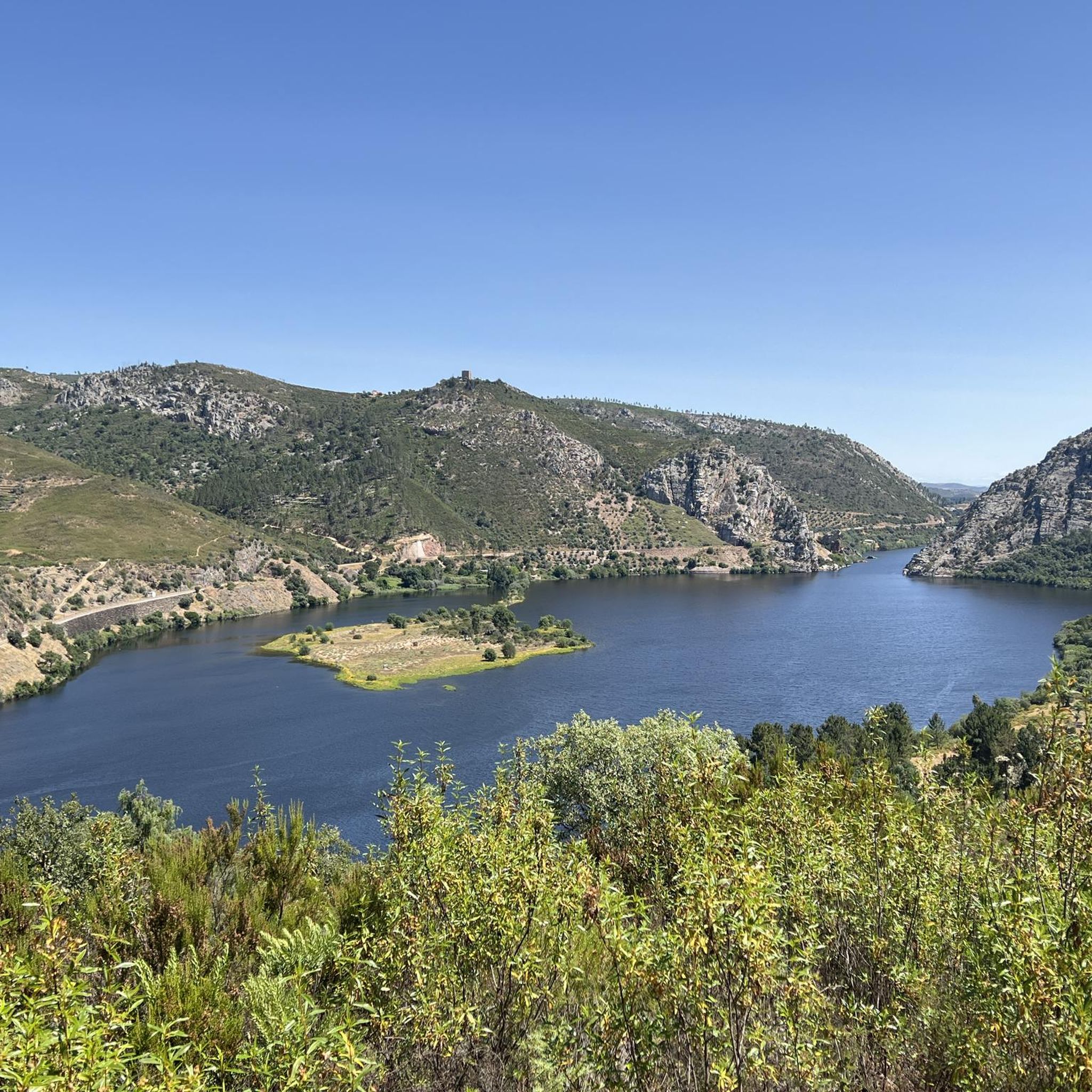
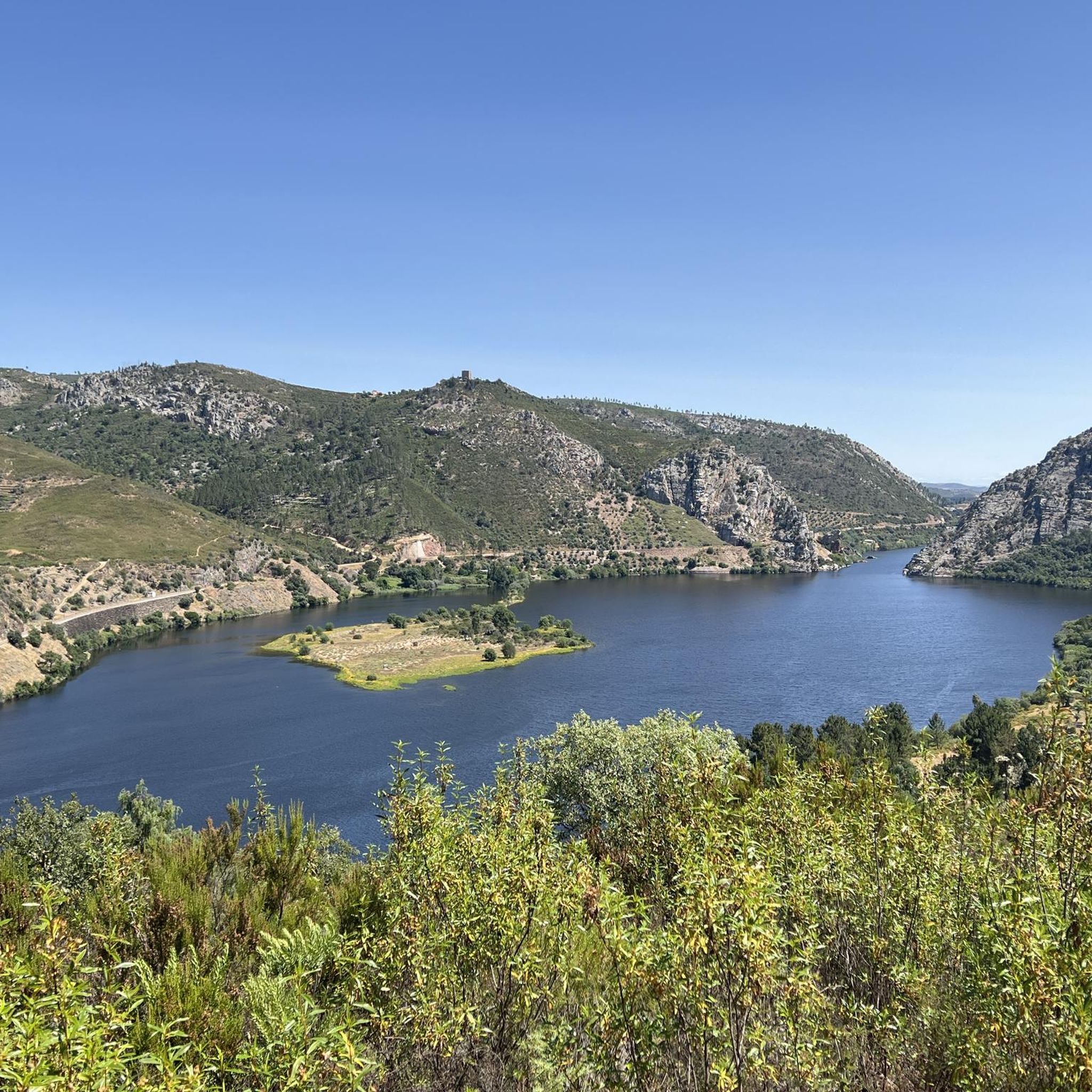
Ilha do Cabecinho is located close to Foz da Ribeira do Vale and the Albufeira de Fratel reservoir. Pedestrian access via a suspension bridge.
3
0
The Conhal do Arneiro Roman Gold Mine is a gigantic mine that resulted from the gravitational dismantling of sedimentary deposits in the Tagus Valley by hydraulic action.
1
0

Easy to access, this gravel track follows the river. Any bike can do this, with tires wider than 28 mm. Pure joy.
0
0
Peralの人気ルート

komootモバイルアプリでインスピレーションを得よう


さらに探索
まだ探しているハイライトが見つかりませんか?他の地域のトップアトラクションのガイドを見てみましょう:
