SameiceのおすすめMTBライド
4.5
(2)
102
ライダー
8
ライド
Sameice周辺でのマウンテンバイクは、その地形を最大限に楽しむのに最適なスポーツですが、ライドのスタート地点を探すのが難しいこともあります。Sameice周辺でおすすめのルートが見つかるように、人気マウンテンバイクルートをご紹介します。
最終更新日: 8月 18, 2026
31
ライダー
54.5km
05:54
1,930m
1,940m
難しいマウンテンバイクライド. 標準以上のフィットネスレベルが必要です。 あらゆるスキルレベルに適しています。
28
ライダー
23.2km
02:19
610m
610m
中程度のマウンテンバイクライド. ある程度のフィットネスレベルが必要です。 あらゆるスキルレベルに適しています。

無料新規登録
4.0
(1)
27
ライダー
59.4km
05:18
1,020m
1,020m
難しいマウンテンバイクライド. 標準以上のフィットネスレベルが必要です。 高度なライディングスキルが必要です。
12
ライダー
62.0km
05:09
1,790m
1,790m
難しいマウンテンバイクライド. 標準以上のフィットネスレベルが必要です。 あらゆるスキルレベルに適しています。
5
ライダー
50.0km
05:14
1,570m
1,570m
難しいマウンテンバイクライド. 標準以上のフィットネスレベルが必要です。 あらゆるスキルレベルに適しています。
さらに多くのルートや他のユーザーのおすすめ情報を確認できます。
無料新規登録
すでにアカウントをお持ちですか?
おすすめのツアーは他のkomootユーザーが実際に経験した何千ものアクティビティに基づいています。
無料アカウントで今日から始めよう
次の冒険が待っています。
ログインまたは登録

コミュニティからのヒント

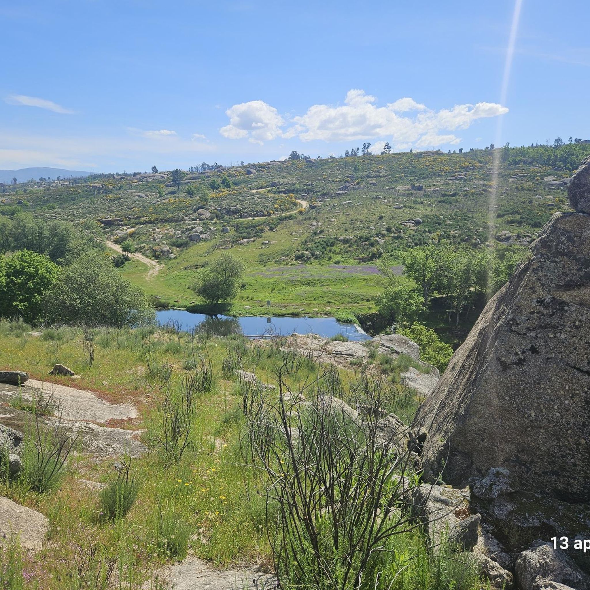
The Lapa dos Dinheiros river beach is in perfect harmony with nature. Located in the parish of Lapa dos Dinheiros, on the Caniça River, a right-bank tributary of the Alva River, this bathing area is nestled in a mountainous landscape dominated by the Lapa Souto (south of Lapa) and imposing granite outcrops. With clear water, very appealing for swimming, the beach boasts the award for accessible beach and has lifeguards and a bar available to visitors. The rugged terrain of the valley causes the river to form a succession of small waterfalls nearby. The Lapa Souto, in addition to its valuable collection of centuries-old chestnut trees, is also home to a high level of biodiversity. From the bridge, a pedestrian path leads to the Moura Hole and a viewpoint over the Caniça Waterfalls. The Buraco da Moura is a natural cave system created by the sliding and accumulation of large granite blocks, which formed a complex system of rooms and galleries. How to get there? Once in Seia, follow the EN231 to S. Romão. From there, continue uphill for about 5 km, toward Loriga/Lapa, until you find the sign for Lapa dos Dinheiros on the left. Once inside the town, simply follow the beach signs. Coordinates: 40º 23′ 07.0″ N / 7º 41′ 50.1″ W
1
0
Located at an altitude of approximately 1,600 meters, Lagoa Comprida is the largest water reservoir in the Serra da Estrela, intended for hydroelectric generation. This natural lake lies in a wide depression of glacial origin, approximately one kilometer long, which fed the Covão Grande glacier. Numerous glacial scars are visible along its banks, making this lake one of the most interesting geomorphological sites in the Serra da Estrela. Construction on this lake began in 1911, and by 1914, it was already six meters high. Later, in 1965, it underwent heightening work that increased its height to 28 meters, currently boasting a storage capacity of approximately 14 cubic hectometers, flooding an area of approximately 80 hectares. Small streams of water flow into this lagoon, as well as water retained in the Covões dos Conchos and Covões do Meio and carried to this lagoon through underground tunnels.
6
1

The Serra da Estrela Natural Park is something truly special. This 1,000-square-kilometer park, spread across six municipalities, was the first and currently the largest protected natural park in Portugal. It is home to the highest point on the Portuguese mainland, the country's only ski slope, the source of two important rivers, and a fascinating, alpine-like landscape formed by glaciers.
5
1

At exactly 1993 meters above sea level, Torre is the highest point in mainland Portugal, where the only ski resort is located. The landscape on the upper plateau of the Serra da Estrela is like a sprinkling of granite rocks over low scrub and patches of snow and ice, which the sun threatens to melt soon in the summer and which always returns the following winter. In winter, it sometimes becomes inaccessible.
6
0

Lagoa Comprida is the largest glacial lake in Serra da Estrela, Portugal, and one of the most iconic spots in the Natural Park. Its name, meaning "Long Lake," perfectly describes its elongated shape, nestled between the surrounding peaks. Originally a glacial lake, it was artificially enlarged with the construction of a dam in the early 20th century for hydroelectric power generation, becoming an important reservoir. Its crystalline waters reflect the sky and the rugged surrounding mountains, creating breathtaking views. It is a popular starting point for hikes and treks to other lagoons and peaks, and offers a sense of grandeur and serenity typical of alpine environments.
2
0

Nestled on the banks of the Caniça river, a tributary of the Alva river, this beach area is a haven in the middle of a mountainous landscape, where ancient chestnut trees and granite blocks shape the scenery. The crystal-clear, inviting water is perfect for a refreshing dip. The beach, which has been awarded the title of accessible, has lifeguards and a bar, making the experience even more enjoyable.
3
0

Beautiful panoramic views from the highest point in Portugal. You can ski here in winter, and there is sometimes snow even in summer.
4
0

Chapel of São Sebastião » Highest point of the village of Sta. Marinha (900m) with panoramic views of the entire "valley" between Estrela and Caramulo
0
0
Sameiceの人気観光スポット

komootモバイルアプリでインスピレーションを得よう


さらに探索
他の地域の最高のMTBトレイルを見てみましょう。
