ヘーフェルホーフの絶景の山頂・トップ3
絶景を目指して登るのであれ、達成感のために登るのであれ、山頂を訪れることで、ヘーフェルホーフの美しい自然をもっと満喫することができます。3
もの選択肢の中から、制覇する山頂を決めるのは簡単ではありません。スムーズに次の冒険で目指す山頂を選べるように、ヘーフェルホーフの素晴らしい山頂をこのガイドにまとめました。
最終更新日: 8月 31, 2026
ビールシュタイン送信所
ハイライト • 記念碑
翻訳者 Google •
役立つ情報 は

ヘルマンスベルク マウンテンバイクトレイル
ハイライト • トレイル
翻訳者 Google •
役立つ情報 は

今すぐサインアップして、こんな場所を発見しよう
最高のシングルトラック、ピーク、その他のエキサイティングなアウトドアスポットのおすすめを受け取ろう。
無料新規登録
トンスベルクからの眺め
ハイライト • 展望台
翻訳者 Google •
役立つ情報 は
バルナッケン山頂
ハイライト • 山頂
翻訳者 Google •
役立つ情報 は

翻訳者 Google •
役立つ情報 は
無料アカウントで今日から始めよう
次の冒険が待っています。
ログインまたは登録
ヘーフェルホーフ周辺で人気
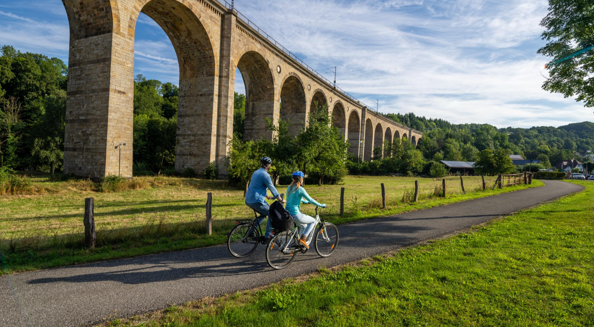
250キロメートル、ヴェストファーレンの中心を通る – パーダーボルン・ランド・ルート
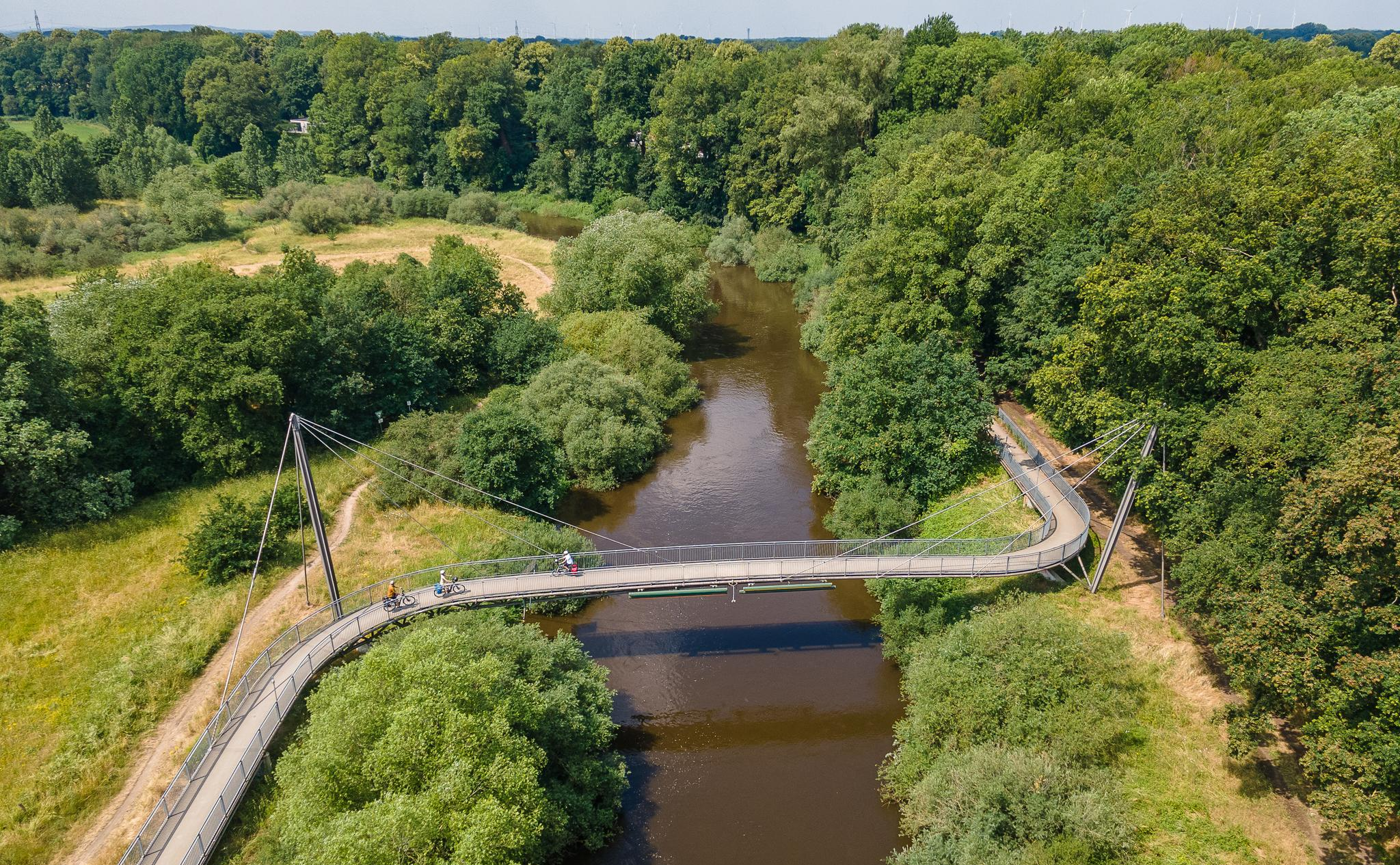
EmsRadweg – 7 Etappen von der Senne an die Nordsee
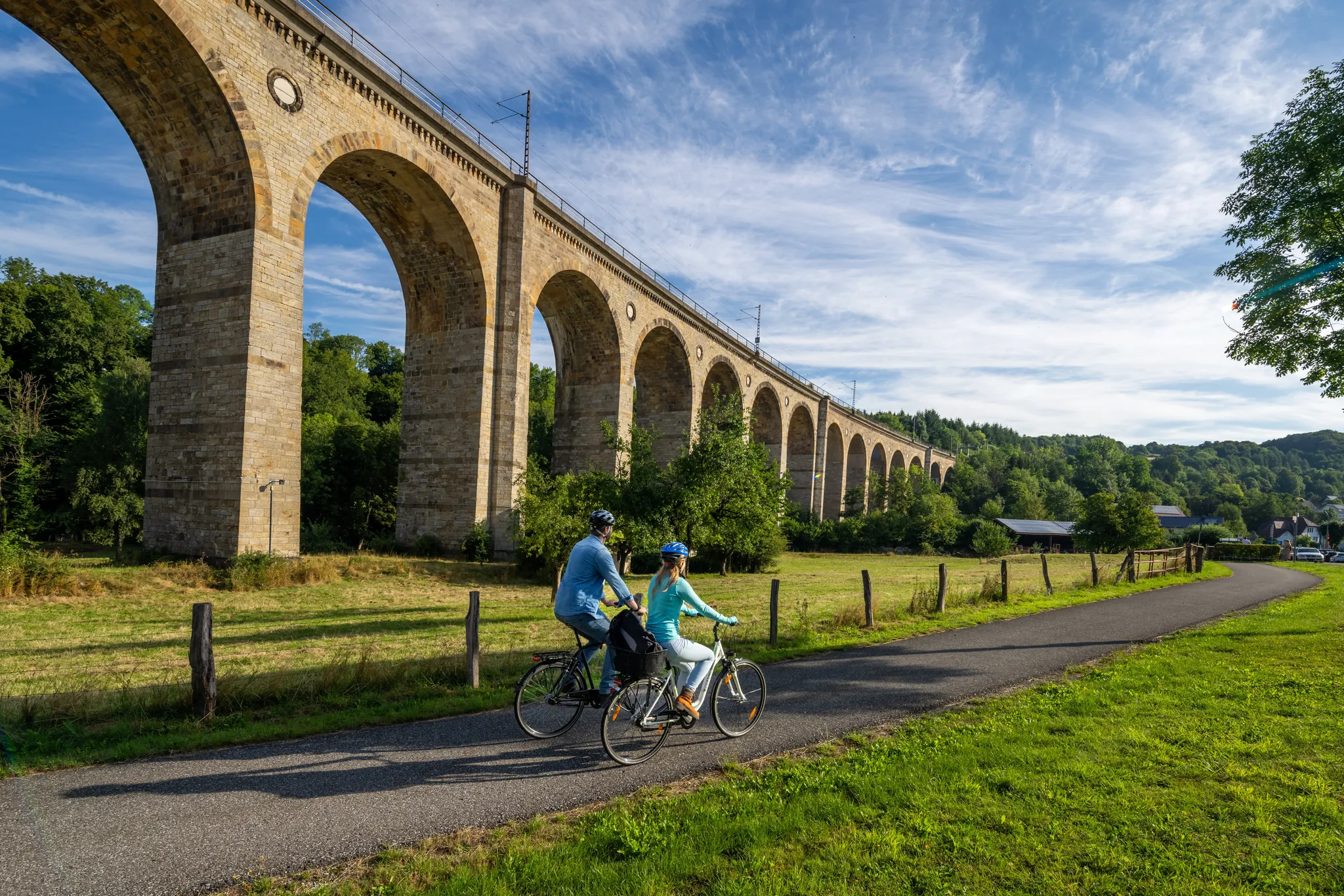
パーダーボーナー・ランド・ルート-ヴェストファーレン州中心部を通る250キロの道
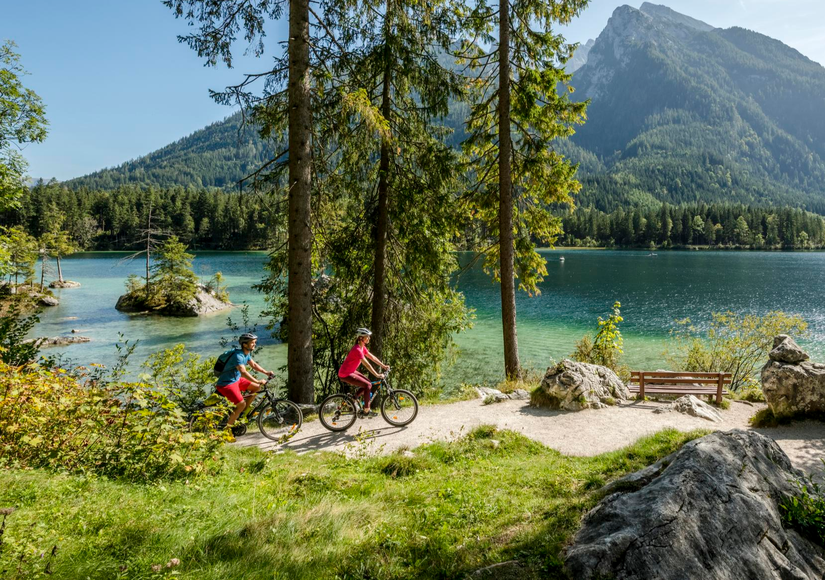
Discover Germany's diversity on enchanting cycling routes
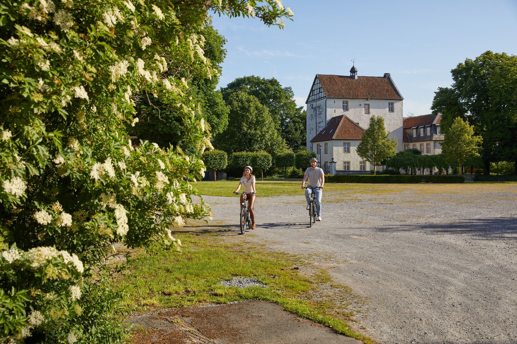
Nature, culture and fun – day Tours in the Paderborn region
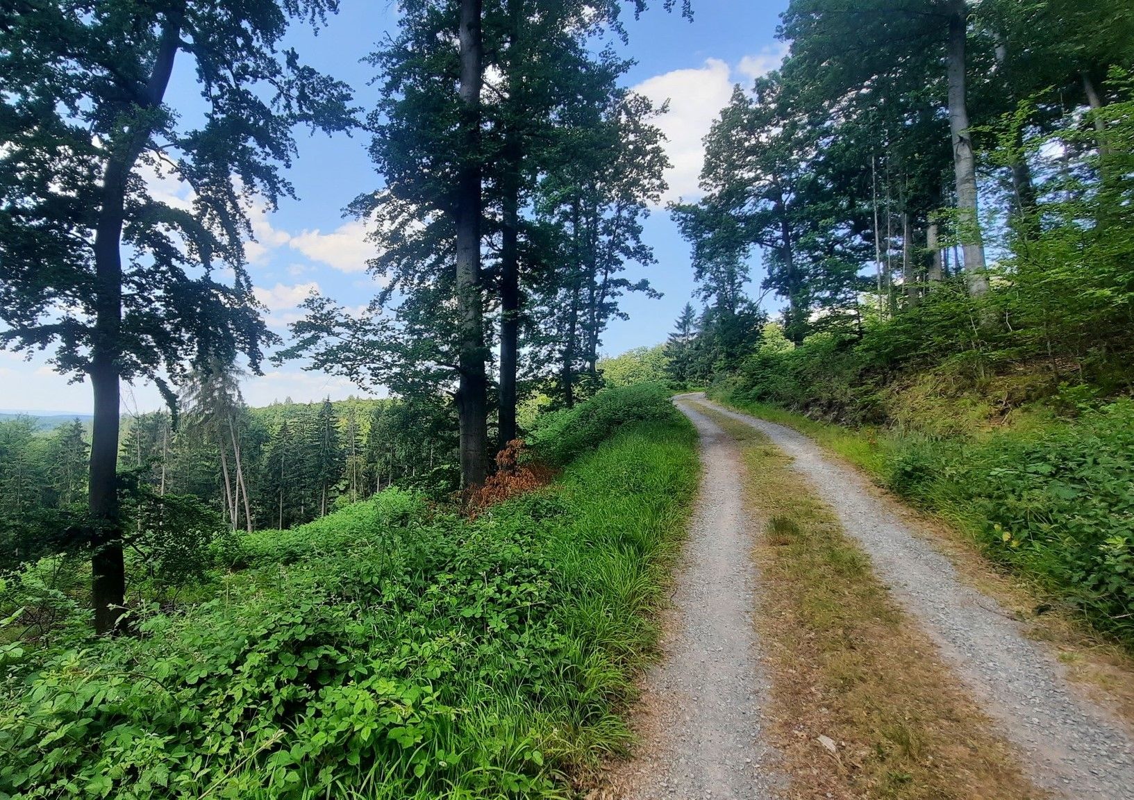
グリーンな多様性 - テウトブルガーの森を通る経験の路
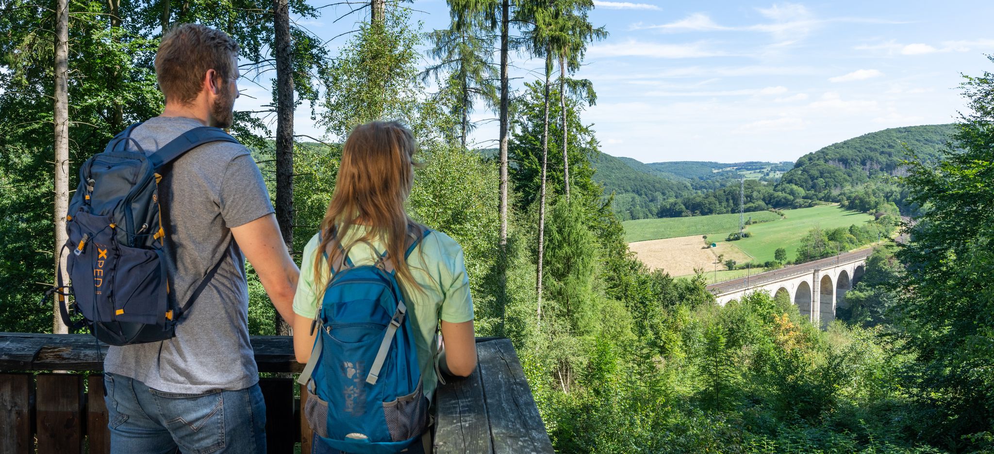
Quality and natural beauty – hike in Germany’s Paderborner Land
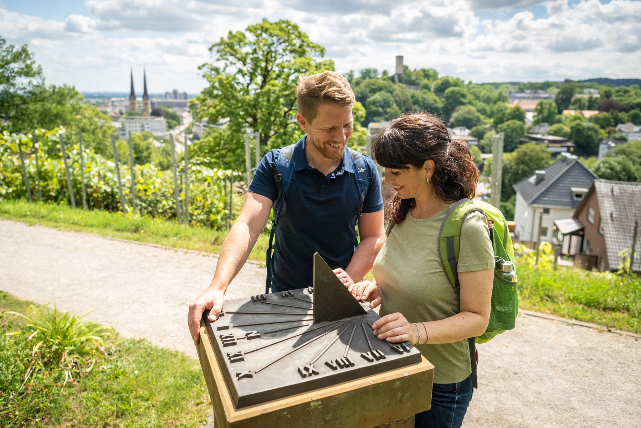
Town, country and river hiking – Germany’s Teutoburg Forest trails
Discover pure nature – Germany’s Teutoburg Forest trails
Tour hopping in the Teutoburg Forest in western Germany
ヘーフェルホーフでのの他の冒険


コミュニティからのヒント

Quite challenging. Not for beginners :-)
1
0

At 446 meters, the Barnacken is the highest peak in the Teutoburg Forest. It lies inconspicuously in a beautiful forest, about 150 meters from the trail.
0
0

The Teutoburg Forest transmitter - popularly known as the "Bielstein transmitter" - belongs to the WDR and is located on the Bielstein mountain, 393 m above sea level. After two years of construction, a 298 m high tubular steel mast was put into operation in 1970. On January 15, 1985, ice and gusty winds tore a sleeve and the transmitter fell over. It was then replaced in 1986 by a 302 m high, guyed steel truss mast.
4
1

... because it is the highest mountain in the Teutoburg Forest, as a Lippe hiker you have to have climbed it ... too bad there is no summit cross.
2
0

The Barnacken is the highest elevation in the Teutoburg Forest, at 446.4 meters above sea level. There isn't much to see there – the flat summit is dominated by a type of raised bog, which is quite muddy, especially after rain. Trees currently obstruct the view in all directions, so there's no panoramic vista.
1
0

The best way to hike from Hiddesen is via the Residenzweg, then you only have a few hundred meters of asphalt just before the transmitter. The descent towards the south then goes along a gravel forest path. Of course, it's better to ride a bike over the asphalt access to the transmission tower. You can reach it from Heidentalstrasse (also in Hiddesen).
2
0


there you can let the bike run nicely
0
0
ヘーフェルホーフでのの人気観光スポット

komootモバイルアプリでインスピレーションを得よう


さらに探索
これらのガイドでさらに素晴らしい頂上を見てみましょうヘーフェルホーフでの:
