フライベルゲのおすすめウォーキング&ハイキングルート
4.5
(2696)
15,829
ハイカー
287
ハイキング
フライベルゲでのハイキングに出かけて、エスパスミッテルランドのこのエリアを探索してみませんか?このガイドでご紹介するのは、komootがフライベルゲでのハイキング・ウォーキングルートのコレクション全体を評価して選び抜いた、このエリアの人気ハイキングルートです。あなたに合った でのハイキングを見つけるには、他のユーザーがアップロードした役立つ情報や写真を閲覧し、各ルートに関するみんなの意見やコメントを参考にしましょう。
最終更新日: 9月 27, 2026
4.6
(85)
357
ハイカー
12.5km
03:31
240m
230m
Hike the moderate 7.8-mile Franco-Swiss smuggling trails loop from Goumois, exploring historical routes and scenic views along the Doubs riv
4.7
(63)
546
ハイカー
2.93km
00:46
20m
20m
初級者向けハイキング. あらゆるフィットネスレベルに適しています。 進みやすいルートです。あらゆるスキルレベルに適しています。

4.6
(28)
200
ハイカー
15.0km
05:06
660m
660m
難しいハイキング. 標準以上のフィットネスレベルが必要です。 安定して歩行できる技術、丈夫な靴、高標高地での登山経験が必要です。
4.6
(29)
201
ハイカー
14.5km
04:56
620m
620m
難しいハイキング. ある程度のフィットネスレベルが必要です。 安定して歩行できる技術、丈夫な靴、高標高地での登山経験が必要です。
4.6
(23)
159
ハイカー
15.0km
04:54
550m
550m
難しいハイキング. ある程度のフィットネスレベルが必要です。 安定して歩行できる技術、丈夫な靴、高標高地での登山経験が必要です。
4.5
(29)
155
ハイカー
14.1km
03:47
170m
170m
Hike the moderate 8.8-mile La Randoline loop in Parc du Doubs, exploring forests, moorland, and lakes like Étang de la Gruère.
4.4
(17)
75
ハイカー
8.05km
02:08
80m
80m
中程度のハイキング. ある程度のフィットネスレベルが必要です。 全般的に進みやすいルートです。安定して歩行できる技術が必要です。
4.5
(10)
63
ハイカー
8.66km
02:27
170m
170m
中程度のハイキング. ある程度のフィットネスレベルが必要です。 全般的に進みやすいルートです。安定して歩行できる技術が必要です。
4.3
(12)
67
ハイカー
21.5km
05:49
300m
300m
Hike Along the Doubs - Stage 3, a difficult 13.3-mile route through Parc du Doubs with river views and natural rock formations.
4.0
(8)
31
ハイカー
4.29km
01:22
170m
170m
This easy 2.7-mile hike along the Doubs River offers scenic views, including the La Rasse Bridge and the Viewpoint of La Ronde.
さらに多くのルートや他のユーザーのおすすめ情報を確認できます。
すでにアカウントをお持ちですか?
おすすめのツアーは他のkomootユーザーが実際に経験した何千ものアクティビティに基づいています。
フライベルゲでのの他の冒険


コミュニティからのヒント

Goumoisには、マスやその他の名物料理など、いくつかの料理の驚きがあります。
1
0

It is definitely recommended to walk the entire 3 km around the lake. The stunning views will reward you for your efforts.
1
0

E-bike, considering portage areas just after Biaufond and steep climb to reach St.-Brais
0
0

A small, charming chapel. I particularly liked the two stained-glass windows.
3
0

A stunning spot with a view over the entire region. Those with vertigo should beware before reaching the stone staircase that overlooks the void!
3
0

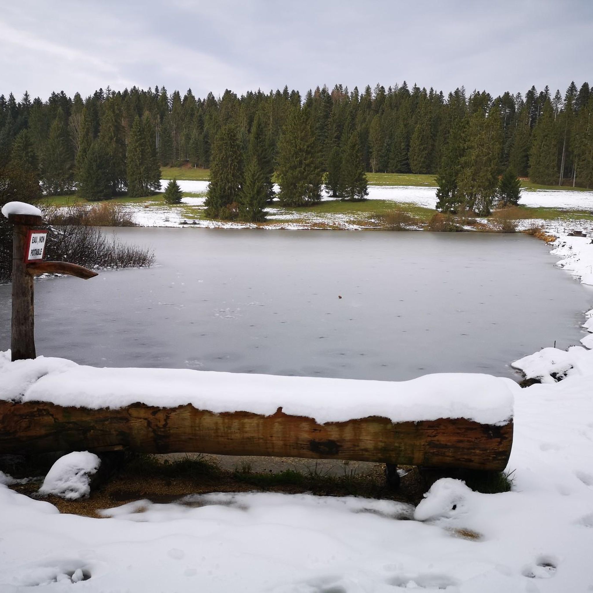
The moor lake is located at 998 m above sea level in the municipality of Saignelégier, approximately halfway between Saignelégier and Tramelan. It is 600 m long, at least 60 m wide, and approximately 4.5 m deep. The Étang de la Gruère nature reserve, including the forest area surrounding the lake itself and two other small moor ponds northeast of it, covers an area of approximately 1 km².
1
0
A beautiful natural gem and a magical place. Those who visit during off-peak times can avoid the crowds and enjoy the tranquility here.
2
0

フライベルゲでのの人気観光スポット

komootモバイルアプリでインスピレーションを得よう


探していたものは見つかりませんでしたか?
フライベルゲの下にある他のハイキングをチェックして、目的地で完璧なルートを見つけましょう。
さらに探索
他の地域の最高のハイキングを見てみましょう。
