Oremのおすすめライド
4.4
(15)
1,199
ライダー
13
ライド
Orem周辺でのロードバイクライドをお考えですか?komootはOrem周辺のあらゆるロードバイクライドを評価し、人気ルートを厳選しました。Orem周辺の各ロードバイクルートの詳細をご覧になり、自分に合ったルートを見つけてください。
最終更新日: 10月 15, 2026
54
ライダー
21.4km
01:01
230m
230m
初級者向けロードバイクライド. あらゆるフィットネスレベルに適しています。 全般的に舗装状態が良好で走行しやすい道です。
5.0
(1)
33
ライダー
19.8km
00:47
50m
50m
初級者向けロードバイクライド. あらゆるフィットネスレベルに適しています。 全般的に舗装状態が良好で走行しやすい道です。

22
ライダー
20.3km
00:54
150m
150m
初級者向けロードバイクライド. あらゆるフィットネスレベルに適しています。 全般的に舗装状態が良好で走行しやすい道です。
3.5
(4)
136
ライダー
47.1km
01:51
140m
140m
初級者向けロードバイクライド. あらゆるフィットネスレベルに適しています。 全般的に舗装状態が良好で走行しやすい道です。
19
ライダー
35.4km
01:29
40m
40m
初級者向けロードバイクライド. あらゆるフィットネスレベルに適しています。 全般的に舗装状態が良好で走行しやすい道です。
さらに多くのルートや他のユーザーのおすすめ情報を確認できます。
すでにアカウントをお持ちですか?
おすすめのツアーは他のkomootユーザーが実際に経験した何千ものアクティビティに基づいています。
無料アカウントで今日から始めよう
次の冒険が待っています。
コミュニティからのヒント

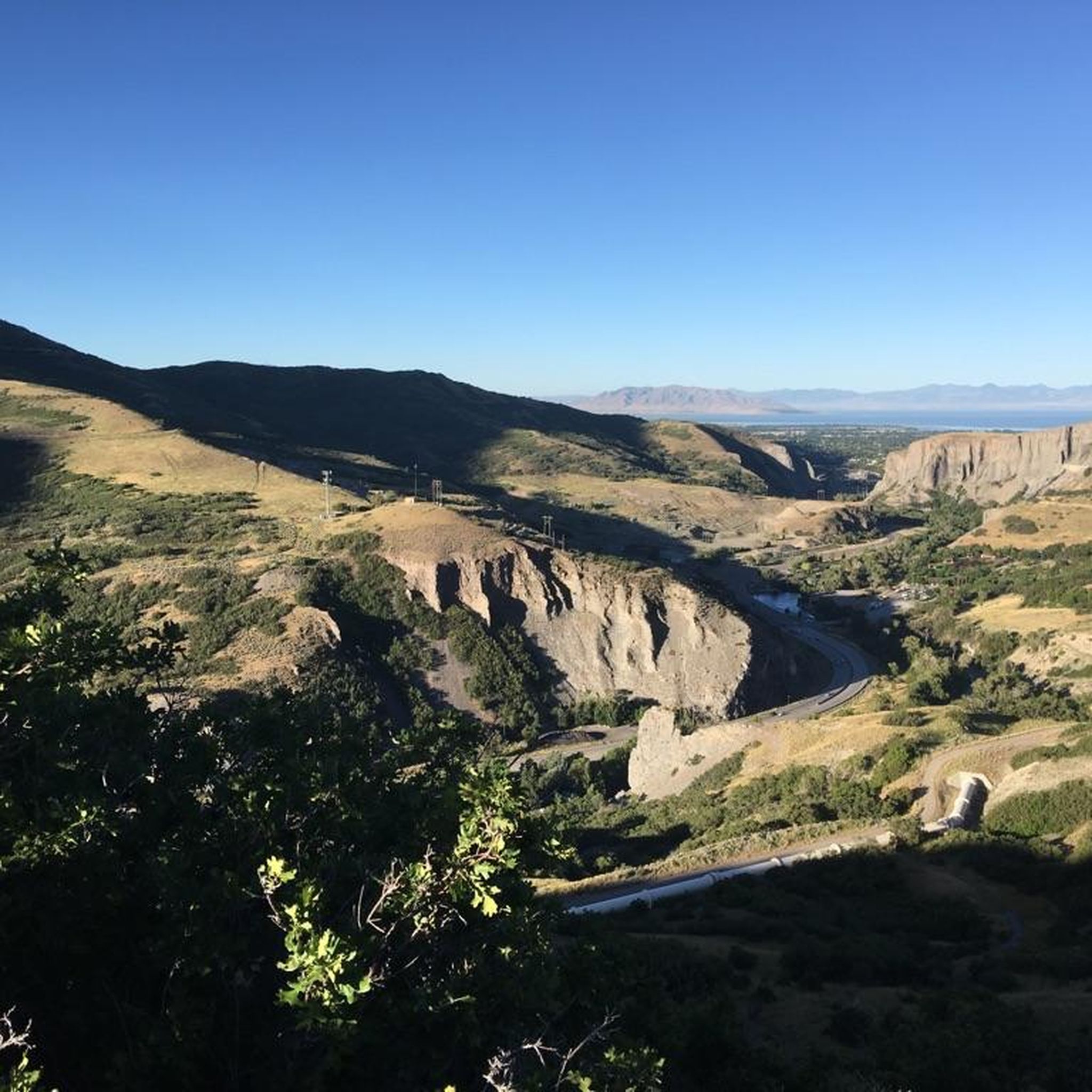
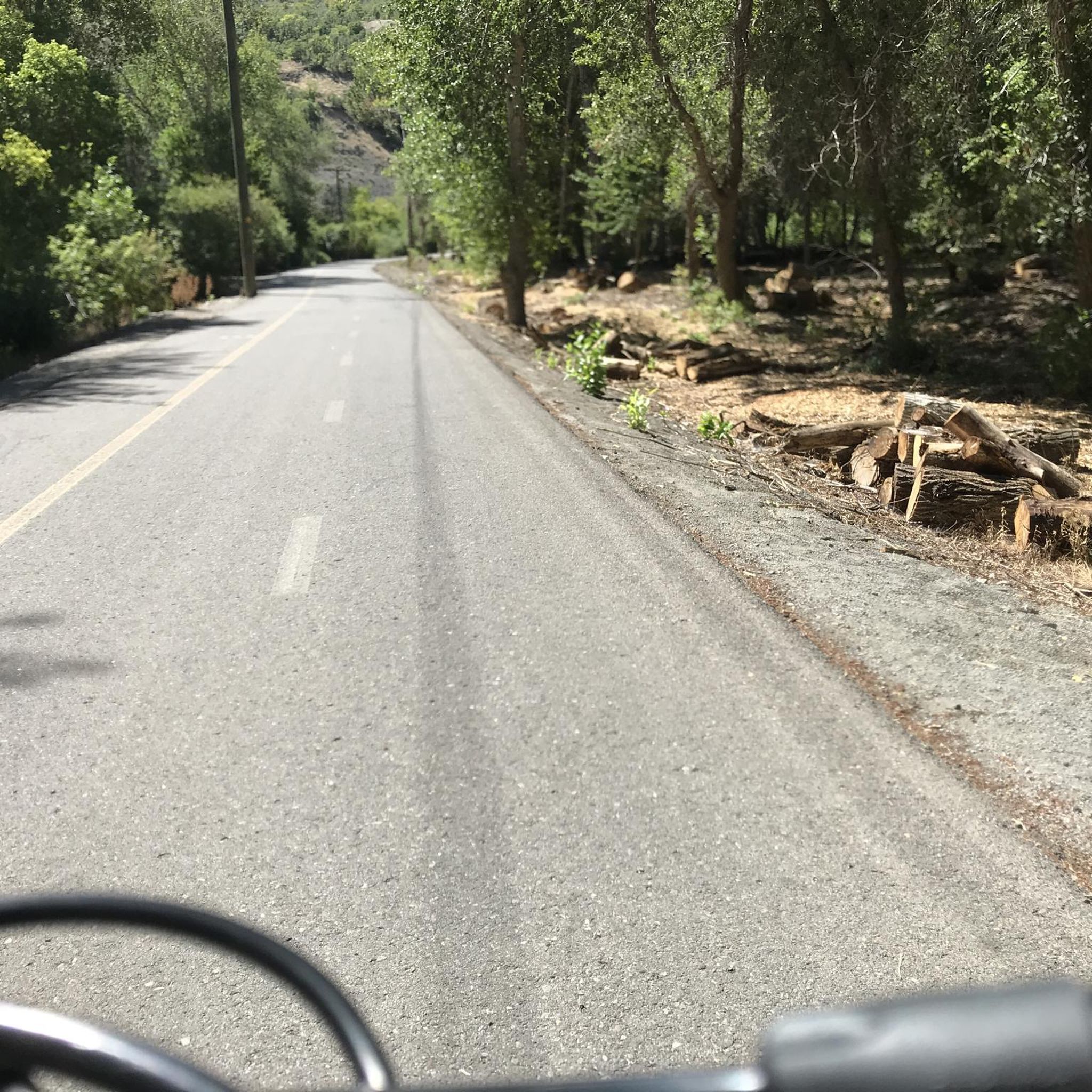
Provo River Parkway is a smooth, paved trail that follows the Provo River through canyons and parks. It’s mostly flat with gentle climbs, offering plenty of shade and scenic river views. This segment passes by Glen Park—an easy spot to refill water bottles or have a snack at the picnic tables.
1
0

This bright red barn is a standout amongst the beautiful mountain backdrop. It's one of many scenic features along this trail and is worthy of a stop to take a great photo!
0
0

Utah Lake State Park is a popular park on the banks of the largest lake in Utah. The park has several roads and trails for you to choose from and is connected to Provo by the Provo River Parkway.
0
0

This multi-use paved trail begins at Utah Lake State Park and follows the Provo River for 15 miles, showcasing different areas of the city and its parks.
0
0

If you want to see the main waterfall in the park, you'll have to leave your bike behind for a bit. Just biking along the river on the Provo River Parkway is worth your while, though, and you get great views of cascades and small falls pouring into the river.
0
0

This smooth paved trail is a great way to get from town to Utah Lake for a picnic or as part of a longer ride. Ensure you are courteous to other users of the path.
0
1

This 17-mile trail traverses seven cities and follows the path of the original trail constructed in the early 1900s. The trail was initially built to transport water from the Provo River for irrigation in Northern Utah County.
0
0

Lower Pond is a water reservoir that is entirely fenced off, so it is not accessible to the public. The pond is visible either from the Murdock Canal Trail over the other side of the pond, or from the road right here. On the opposite side of the road is a small park with a rotunda and playground. As you look towards the pond you will see the stunning high mountains looming in the background.
1
0
around Oremの人気観光スポット

komootモバイルアプリでインスピレーションを得よう


さらに探索
他の地域の最高のロードサイクリングルートを見てみましょう。
