BaumstownのおすすめMTBライド
5.0
(1)
105
ライダー
9
ライド
Baumstown周辺でのマウンテンバイクは、その地形を最大限に楽しむのに最適なスポーツですが、ライドのスタート地点を探すのが難しいこともあります。Baumstown周辺でおすすめのルートが見つかるように、人気マウンテンバイクルートをご紹介します。
最終更新日: 10月 29, 2026
3
ライダー
12.6km
01:10
230m
230m
The Birdsboro Reservoir Loop offers a delightful and accessible mountain biking experience, perfect for a leisurely outing. This easy 7.8-mile (12.6 km) route, with a modest 743 feet (226 metres)…
5.0
(1)
30
ライダー
23.7km
02:25
540m
540m
中程度のマウンテンバイクライド. ある程度のフィットネスレベルが必要です。

4
ライダー
29.0km
02:52
560m
570m
中程度のマウンテンバイクライド. ある程度のフィットネスレベルが必要です。
3
ライダー
28.8km
03:05
790m
790m
中程度のマウンテンバイクライド. ある程度のフィットネスレベルが必要です。
12
ライダー
13.7km
01:31
390m
390m
中程度のマウンテンバイクライド. ある程度のフィットネスレベルが必要です。
さらに多くのルートや他のユーザーのおすすめ情報を確認できます。
すでにアカウントをお持ちですか?
おすすめのツアーは他のkomootユーザーが実際に経験した何千ものアクティビティに基づいています。
無料アカウントで今日から始めよう
次の冒険が待っています。


コミュニティからのヒント

Miller Point is a rock formation created millions of years ago by molten lava that erupted and cooled. Initially a solid rock, it has gradually broken into sections over time due to the effects of tree roots and the freeze-thaw cycle. A unique sight and a good stopping point along the way.
0
0

A fun section of singletrack ranging from smooth dirt to small rock gardens. The trail is mixed use, so be cautious of hikers out on it too.
0
0
A beautiful open meadow lined with tall mixed trees, perfect for cycling on. There are also picnic benches if you'd like to take a break.
0
0
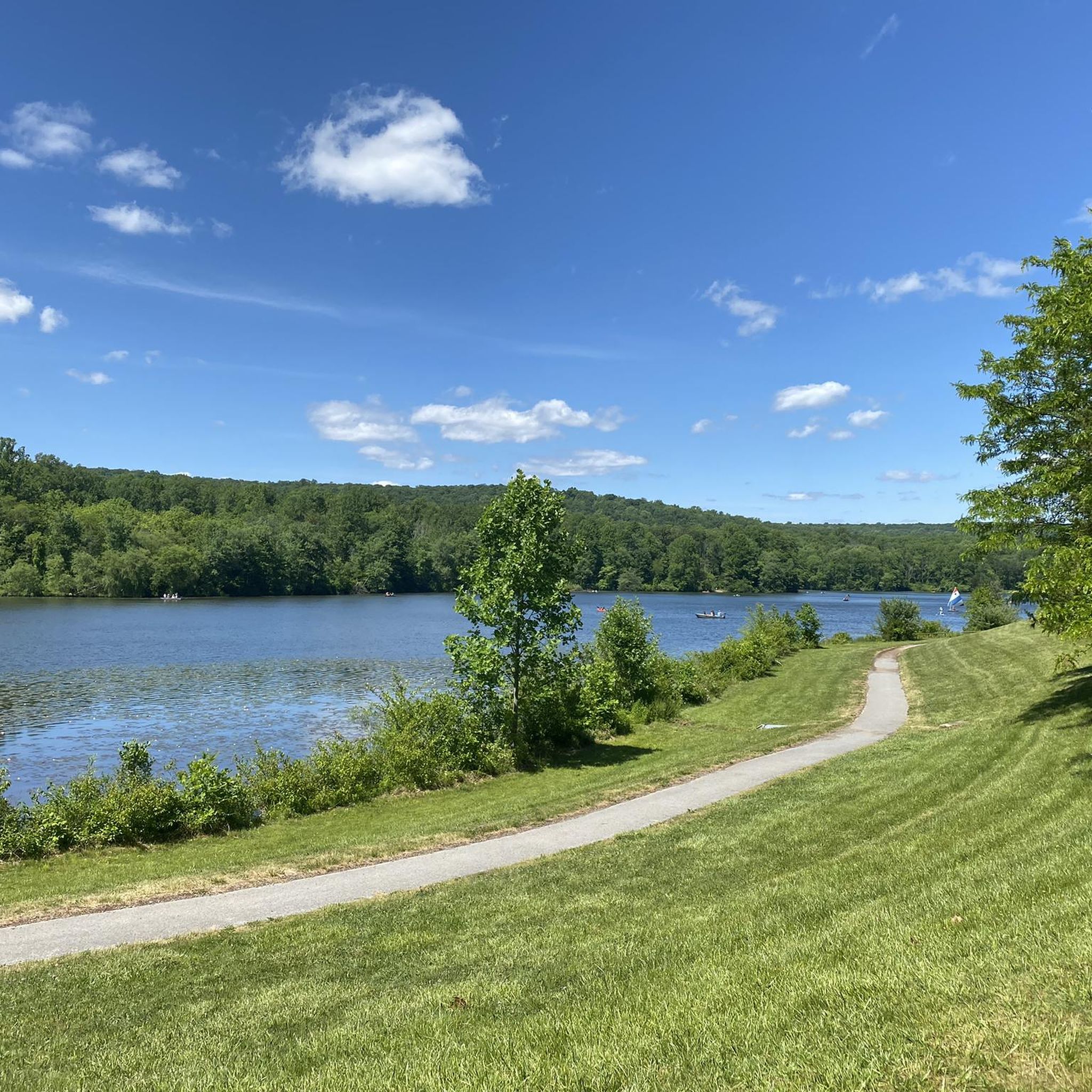
This lake provides a very peaceful spot to take a break and absorb the scenery. The water's unique green tint is stunning, especially with the trees reflecting off its surface.
2
0

French Creek State Park is a 7,730-acre park filled with forests, lakes, and wetlands. This is the largest patch of contiguous forest between Washington D.C. and New York City.
0
0
This dam is 625 feet in length with a maximum height of 34 feet and was created for recreational purposes to form Scotts Run Lake. This area offers a nice, peaceful view of the water with some scenic surroundings.
0
0

The trail provides various chances to view wildlife in the area. It's also Ideal for experienced hikers seeking scenic views of Hopewell Lake With steep and rocky sections, sturdy shoes are recommended.
0
0

Chestnut Hill is a small high point in French Creek State Park. The popular Mill Creek Trail passes over the top of the forested summit. There are a few views within French Creek State Park, but most of those views are not at any major summits.
0
0
around Baumstownの人気観光スポット

komootモバイルアプリでインスピレーションを得よう


さらに探索
他の地域の最高のMTBトレイルを見てみましょう。
