シャトーデーの峠・トップ20
風景を楽しんだり、上りや下りを満喫したり、峠には楽しみ方がたくさんあります。シャトーデーの素晴らしい峠の一覧を参照して、思い出に残るアドベンチャーに出かけましょう。コミュニティのメンバーがコミュニティのために投稿した峠のハイライトは、他のユーザーが実際におすすめする情報なので、どれも信頼できるものです。気に入った峠にさっそく向かってみましょう。
最終更新日: 10月 27, 2026
コル・ド・ソラディエ
ハイライト • 山道
翻訳者 Google •
役立つ情報 は

ミッテルベルク峠/アブレンドシェンへの北側登り
ハイライト (セグメント) • 山道
翻訳者 Google •
役立つ情報 は

今すぐサインアップして、こんな場所を発見しよう
最高のシングルトラック、ピーク、その他のエキサイティングなアウトドアスポットのおすすめを受け取ろう。
アブレンシュェン、ミッテルベルク
ハイライト • 山道
翻訳者 Google •
役立つ情報 は

コル・デュ・ピヨン
ハイライト • 山道
翻訳者 Google •
役立つ情報 は

ピエール・デュ・モエレ峠
ハイライト • 山道
翻訳者 Google •
役立つ情報 は

無料でサインアップして、さらに多くの山道を発見しましょう シャトーデーでの。
すでにアカウントをお持ちですか?
無料アカウントで今日から始めよう
次の冒険が待っています。
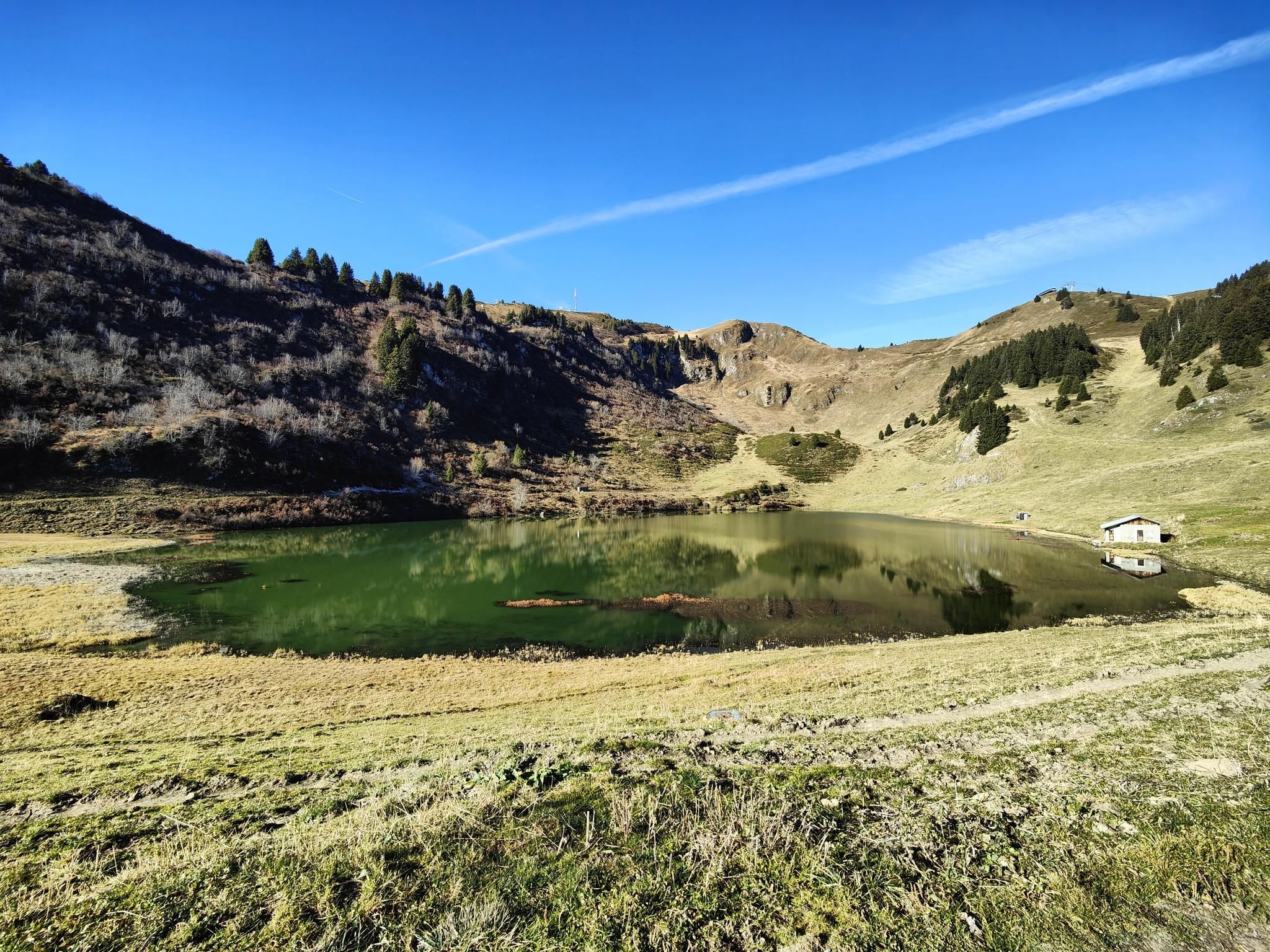
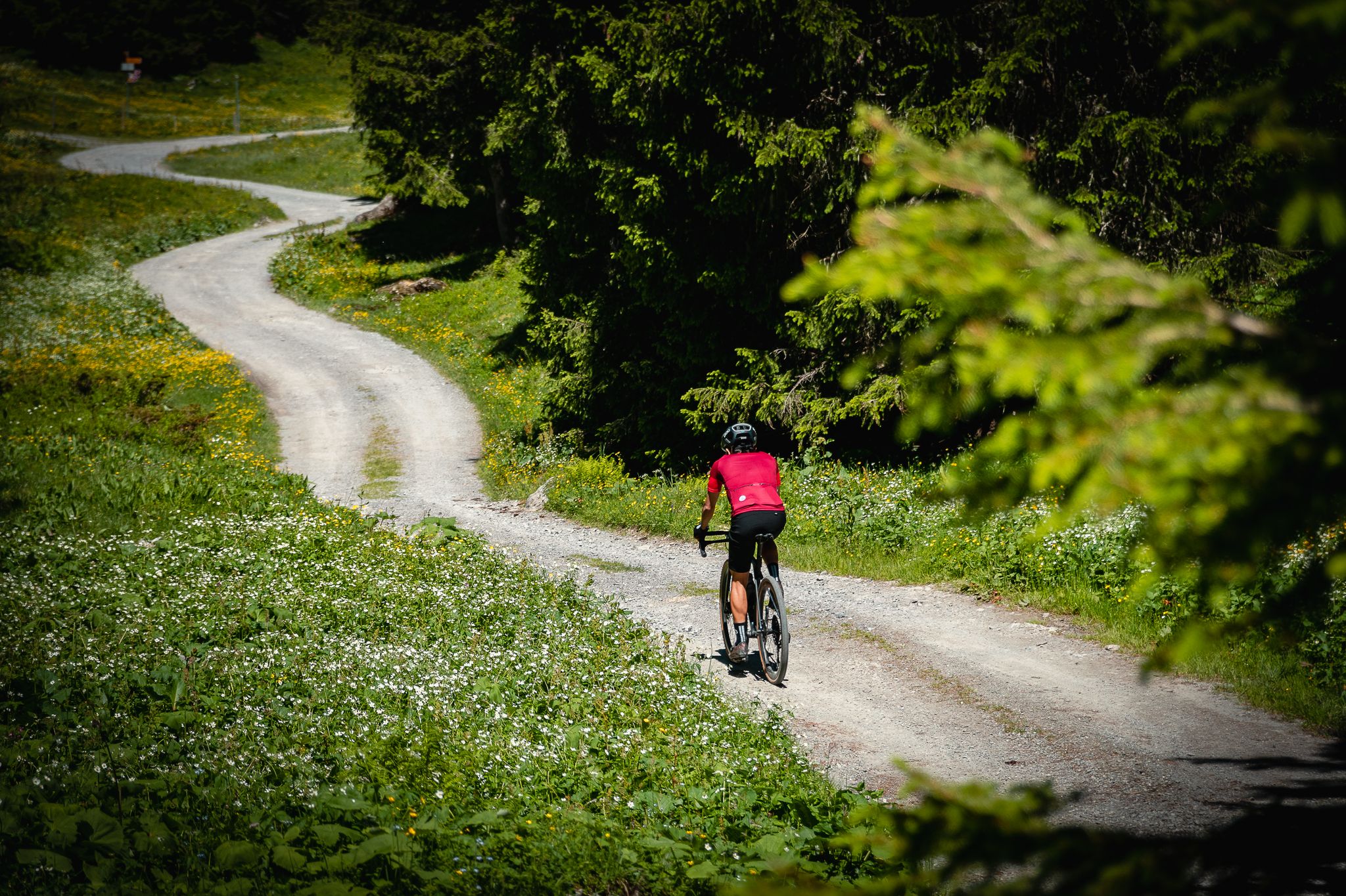
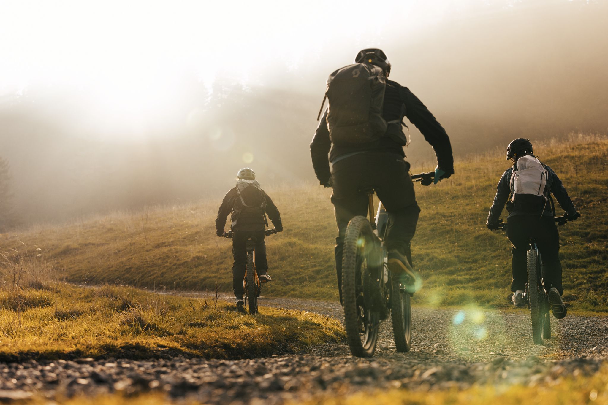
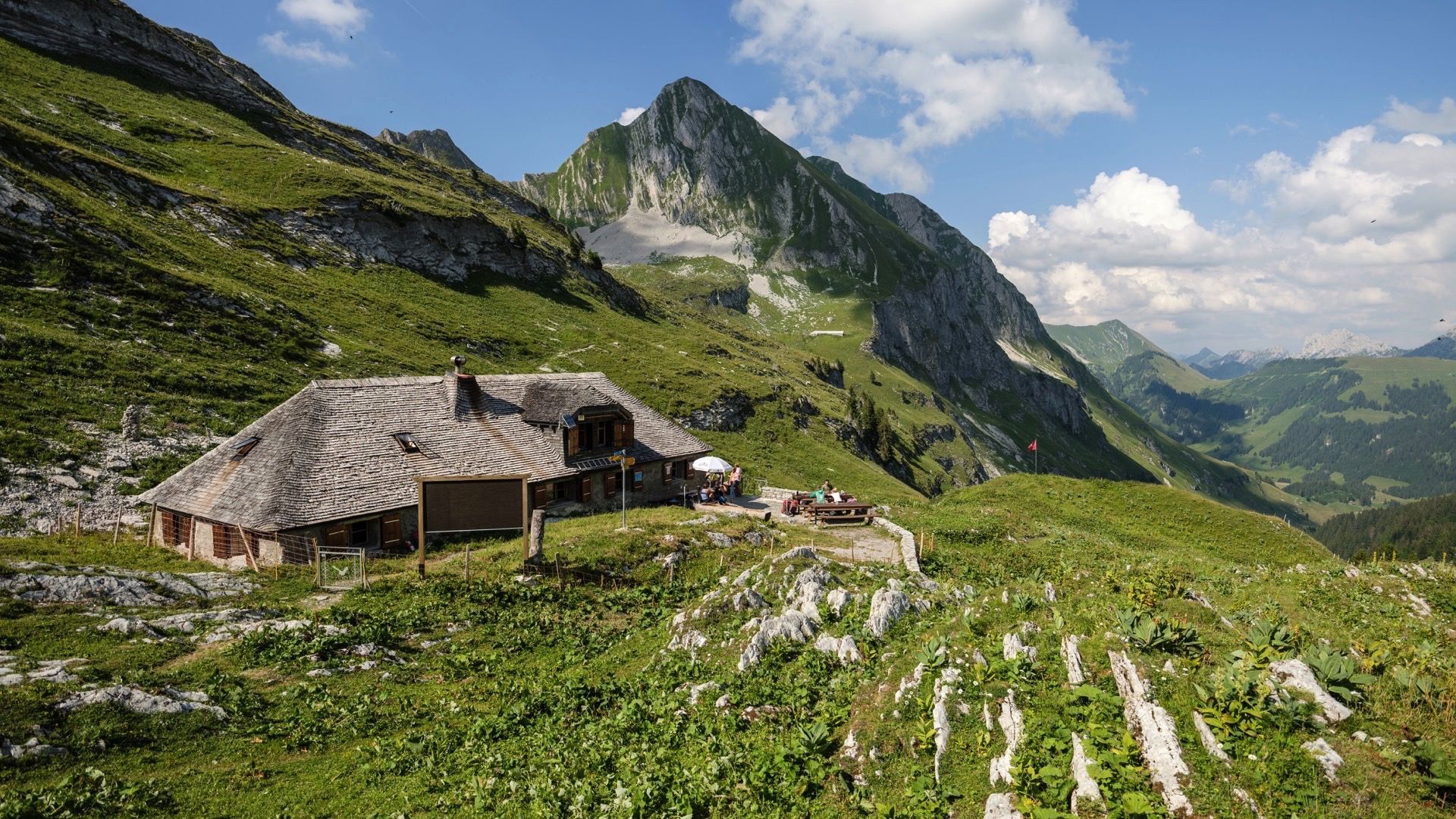
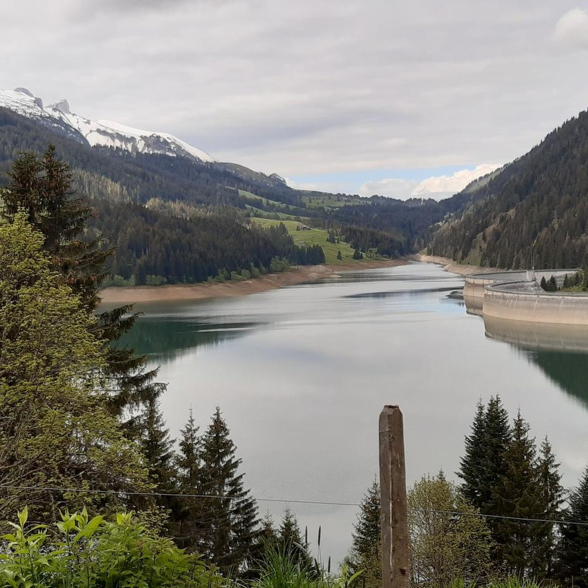
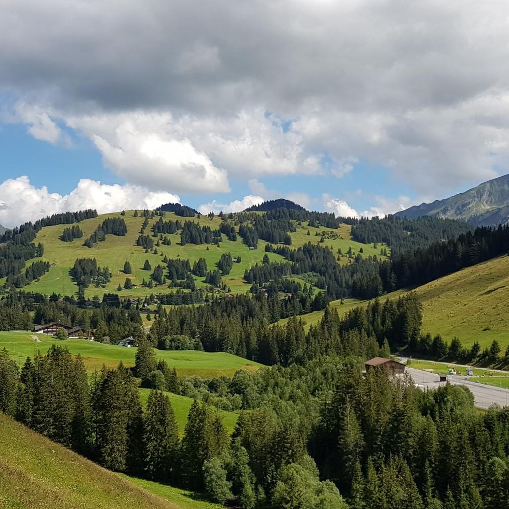
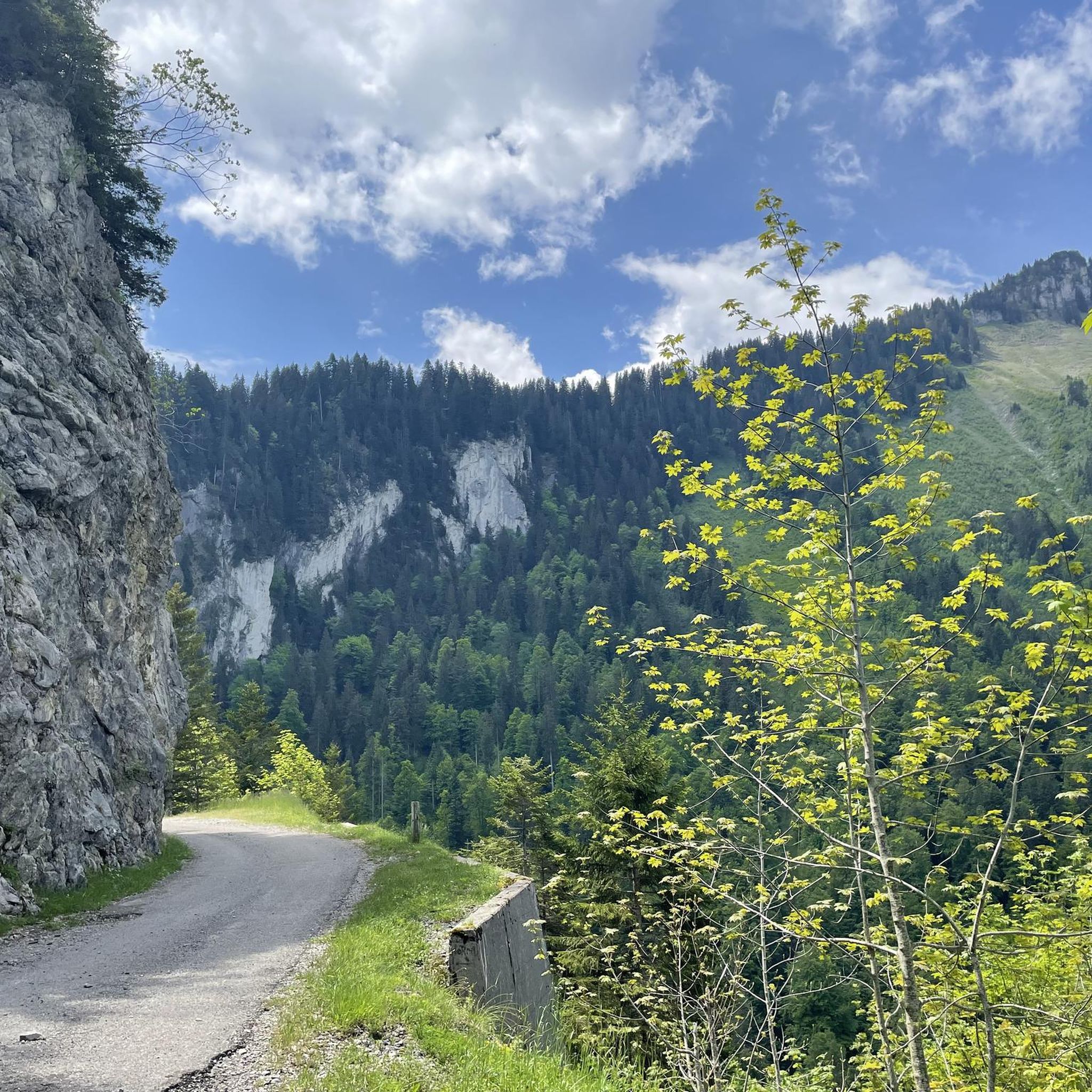
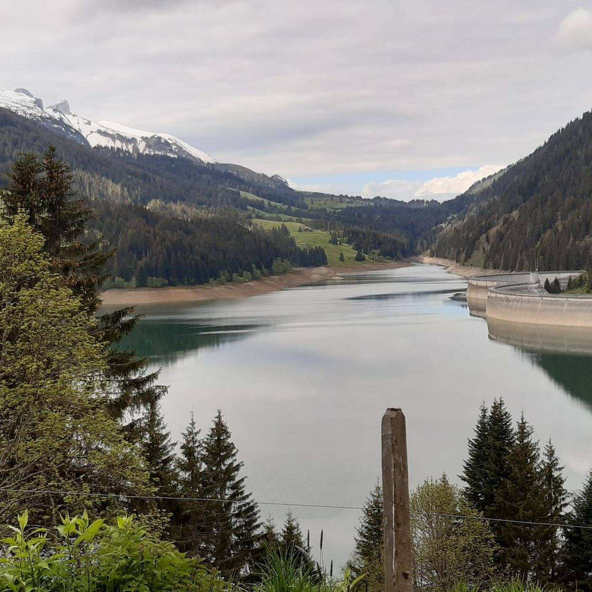
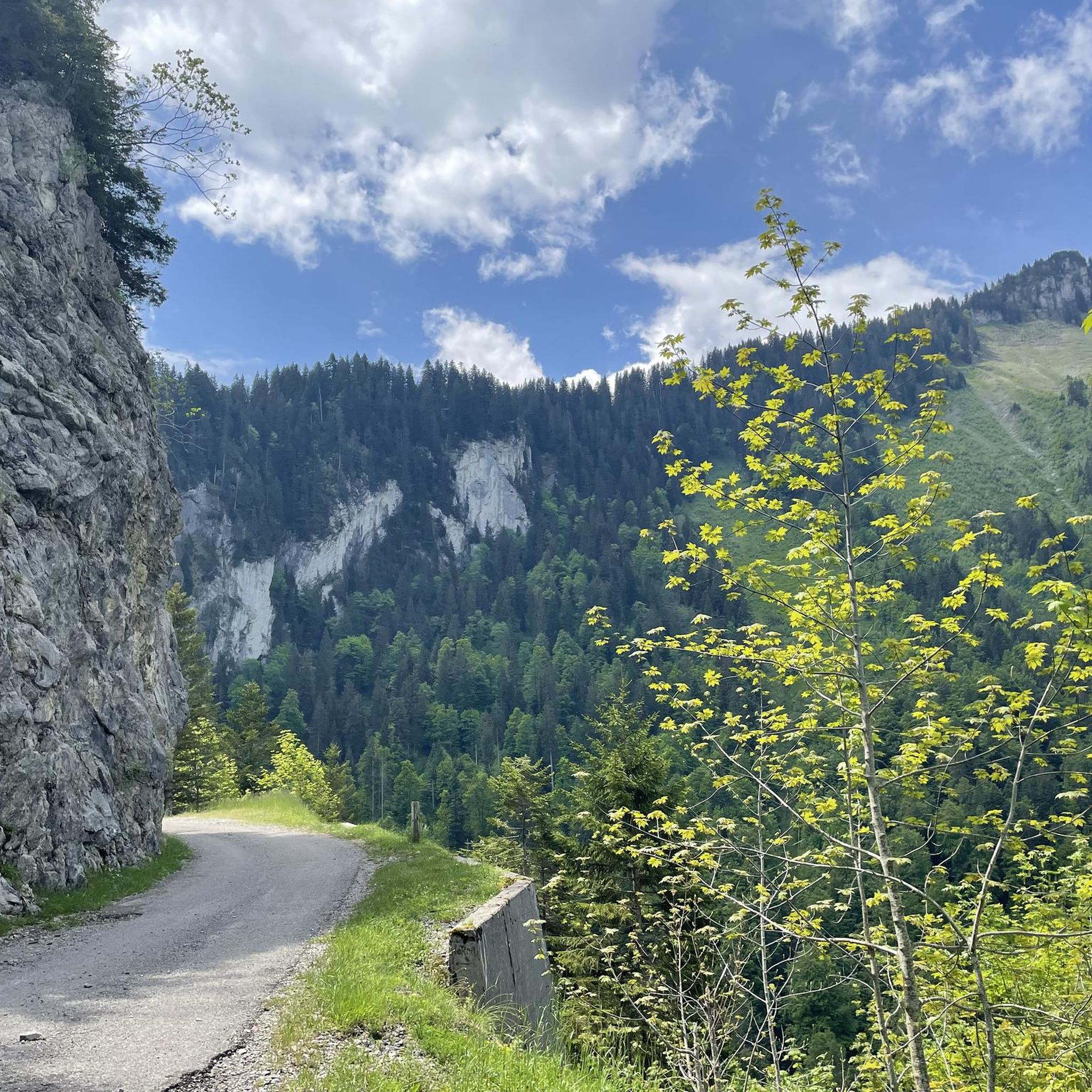
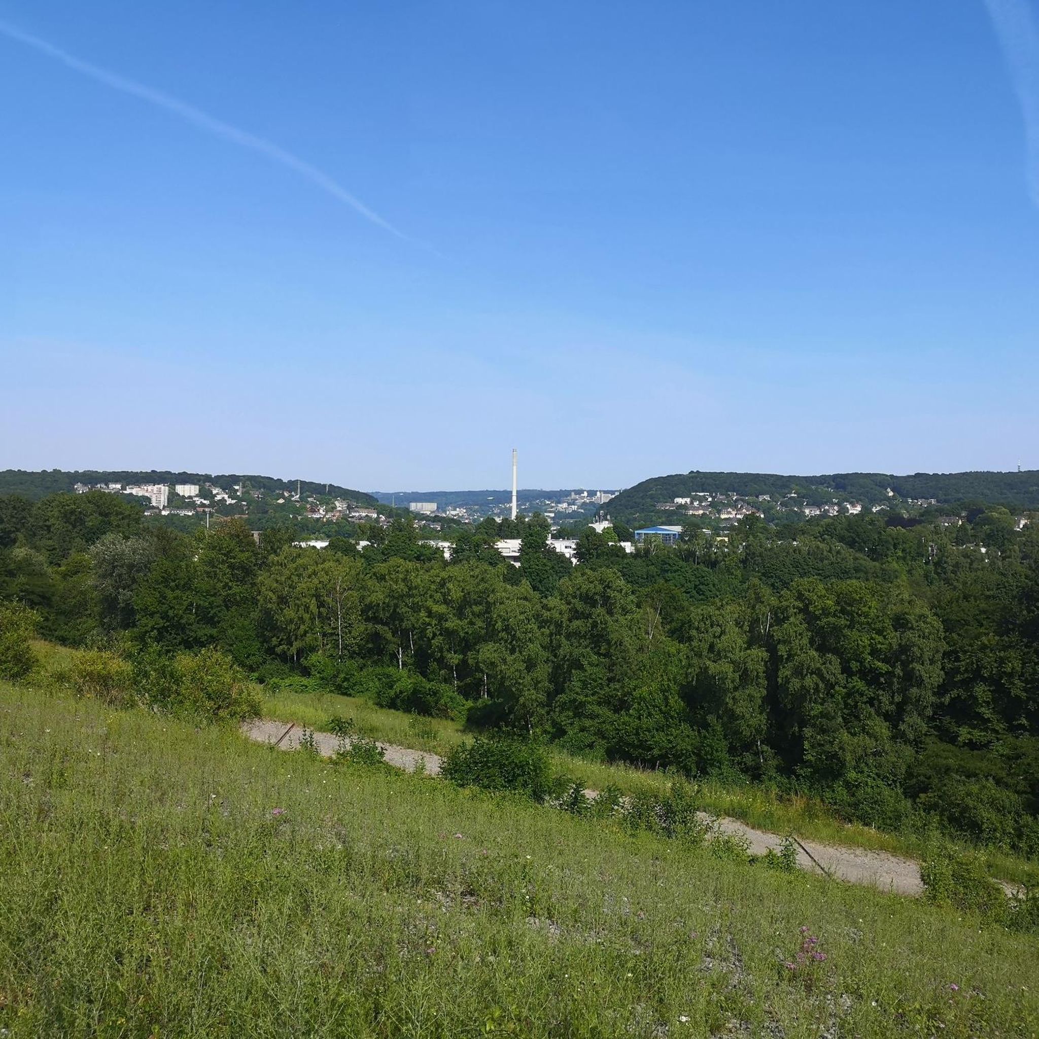
シャトーデーでのの他の冒険


コミュニティからのヒント

森の中の峠道、車の交通量は少ないですが、急です。下りは、悪いアスファルト、家畜用格子、水の溝があるので、あちこちで注意が必要です。
0
0
Gsteigからの美しい登り。緩やかな勾配、ヘアピンカーブ、そして交通量は少ない(9月)。頂上にはGlacier 3000行きのロープウェイがあります。
0
0


Superb pass but be careful when leaving Sannen, the end of the climb is full of slopes at 15-16%
0
1

The Mittelberg is a mountain pass near the language border with western Switzerland. To the north, it descends to Abländschen at the foot of the magnificent Gastlosen mountain range, while to the south, the Grischbach Valley awaits. While the pass is paved, there are various trails for mountain bikers to choose from in various directions.
1
0

Bus stop 'Abländschen, Mittelberg'. The PostBus line was set up to facilitate travel for athletes during the summer period. It serves the Fenils Valley from Saanen, the Mittelberg Pass, Abländschen and Jaun from May 4 to October 27, 2024, including general holidays and bridge days. Check the bus timetable here: https://www.gruyerepaysdenhaut.ch/fr/mobilite/bus-alpin-jaun-saanen
1
0

Done this morning on the north slope, climb, by mountain bike. Everything goes very well until Gros Caudon, 1450m. Then you have to push (but the mountain bike can be towed alone!) over a 130m drop. The first half is bad, steep on a gullied path, then ends in grass. It's painful but done pretty quickly. The continuation over the Col de Jaman via Soladier and Les Verraux requires passing large, very muddy landslides. But easy.
1
2

峠からはヴァニル・デ・ザール(Vanil des Arts)の美しい景色が見えます。ソラディエ峠(col de Soladier)とジャマン峠(col de Jaman)の間は、シュマン・トランヴァーサル(Chemin Transversal)経由で容易に進めます。ただし、モントルー(Montreux)からは最後の登りが非常に急になります。
0
0

komootモバイルアプリでインスピレーションを得よう


さらに探索
これらのガイドでさらに壮大な山道を見てみましょうシャトーデーでの:
