ルート

プランナー

機能

アップデート

App

ログインまたはサインアップ

アプリを入手

ログインまたはサインアップ

ログインまたはサインアップ

ルート
Places to see
オーストリア
ニーダーエスターライヒ州
Waldviertel
ホーン

ガルス・アム・カンプ

ガルス・アム・カンプ周辺のアトラクション&必見スポット - トップ20


ガルス・アム・カンプには必見のスポットがたくさんあります。ハイキング愛好家やサイクリング愛好家の方は、ぜひガルス・アム・カンプを探索してこのエリアにある20
の隠れたスポットを訪れてみてください。このエリアの必見スポットを確認し、次の冒険に出かける計画を立てましょう。

最終更新日: 5月 25, 2026

ローゼンブルク城

ハイライト • 城

The journey on the asphalt road by bike is exhausting, that's the "demanding" thing about it. The nice thing is the great location of the Rosenburg and (if possible) of …

翻訳者 Google •

役立つ情報

によるものです

ここでのライドを見る

スマートフォンに送信

保存

カンプタールヴァルテ

ハイライト • 展望台

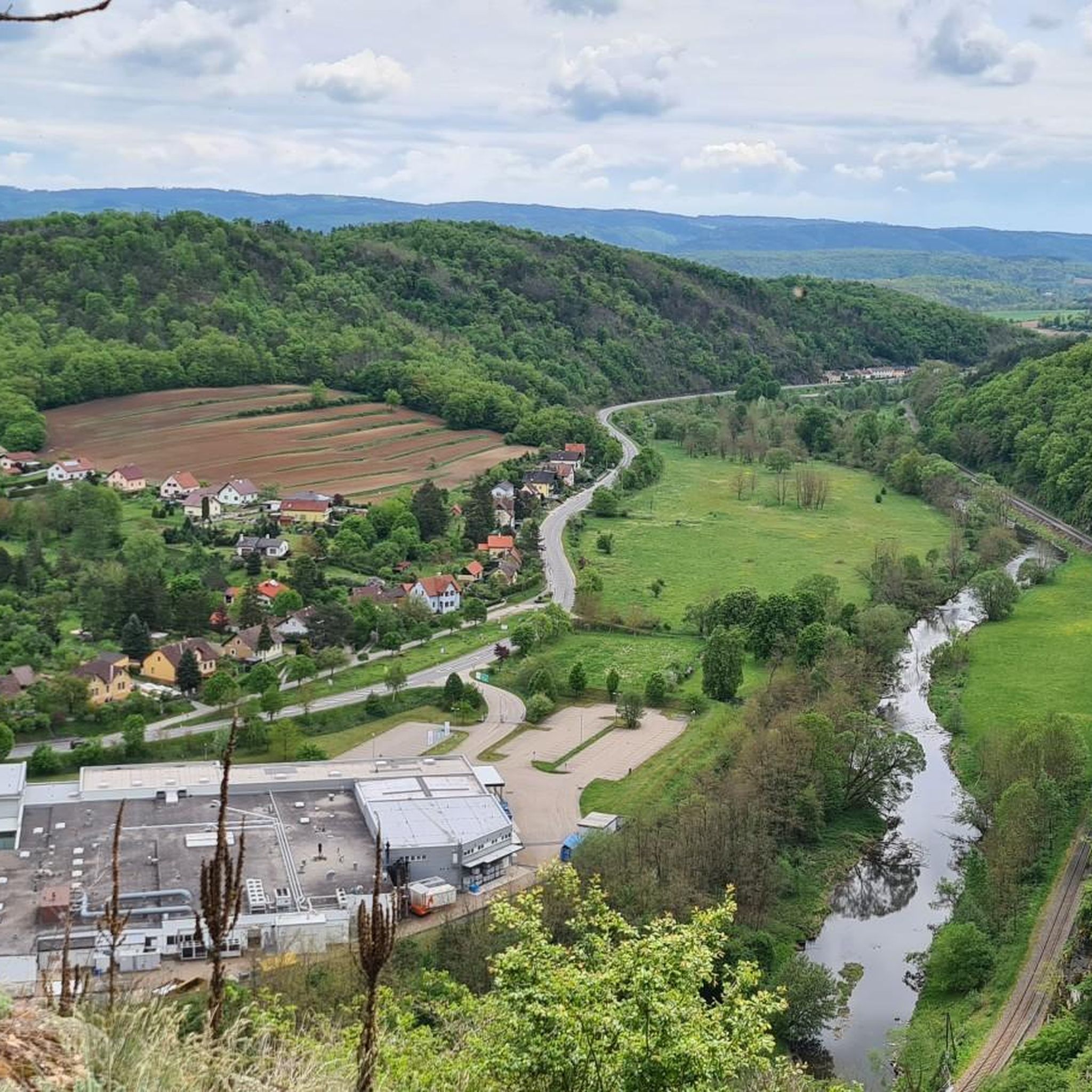
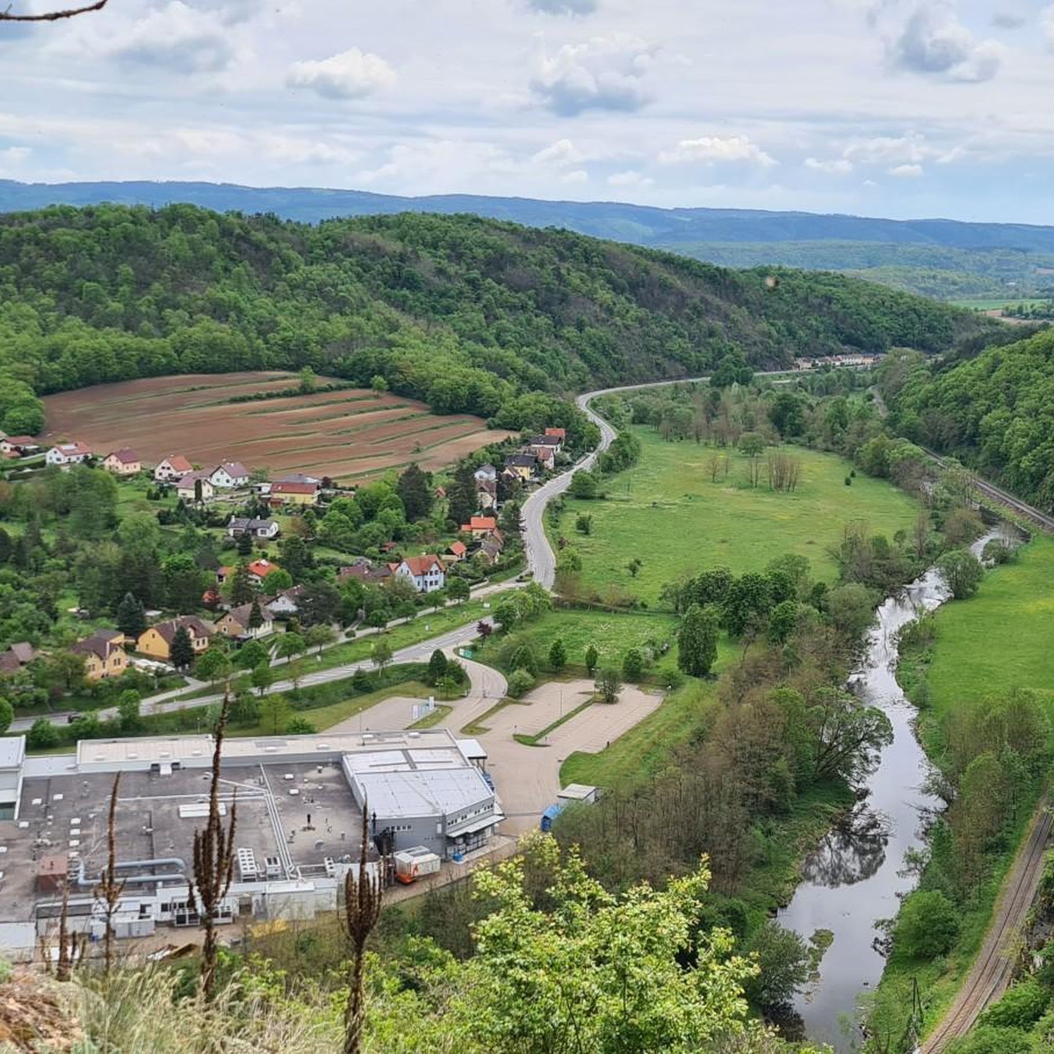
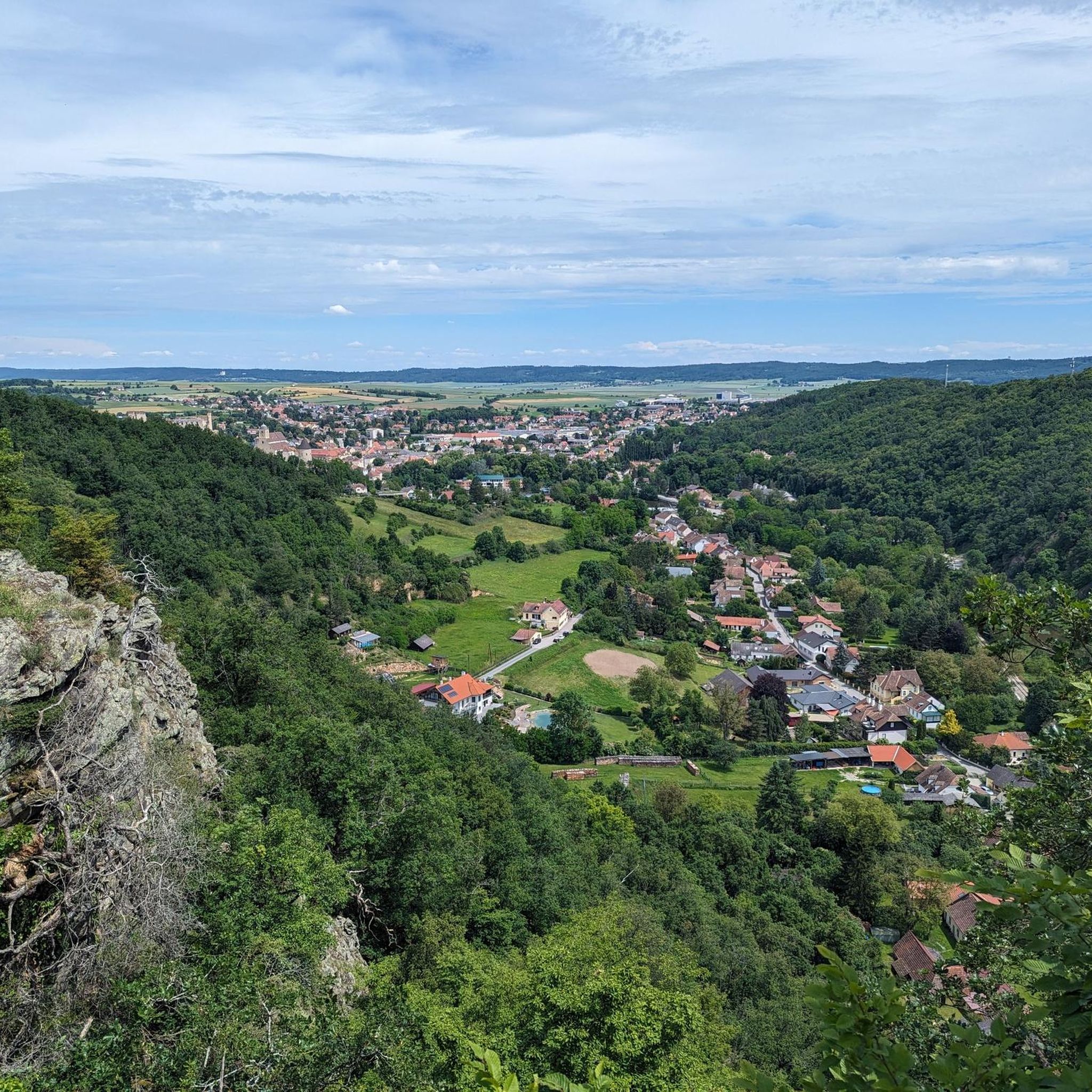
The control room, also known as the “Heiligensteinerwarte”, is famous for its magnificent view. When the weather is good, the view extends as far as the Alpine peaks of the …

翻訳者 Google •

役立つ情報

によるものです

保存

今すぐサインアップして、こんな場所を発見しよう

最高のシングルトラック、ピーク、その他のエキサイティングなアウトドアスポットのおすすめを受け取ろう。

無料新規登録

エッゲンブルク中心街

ハイライト • 集落

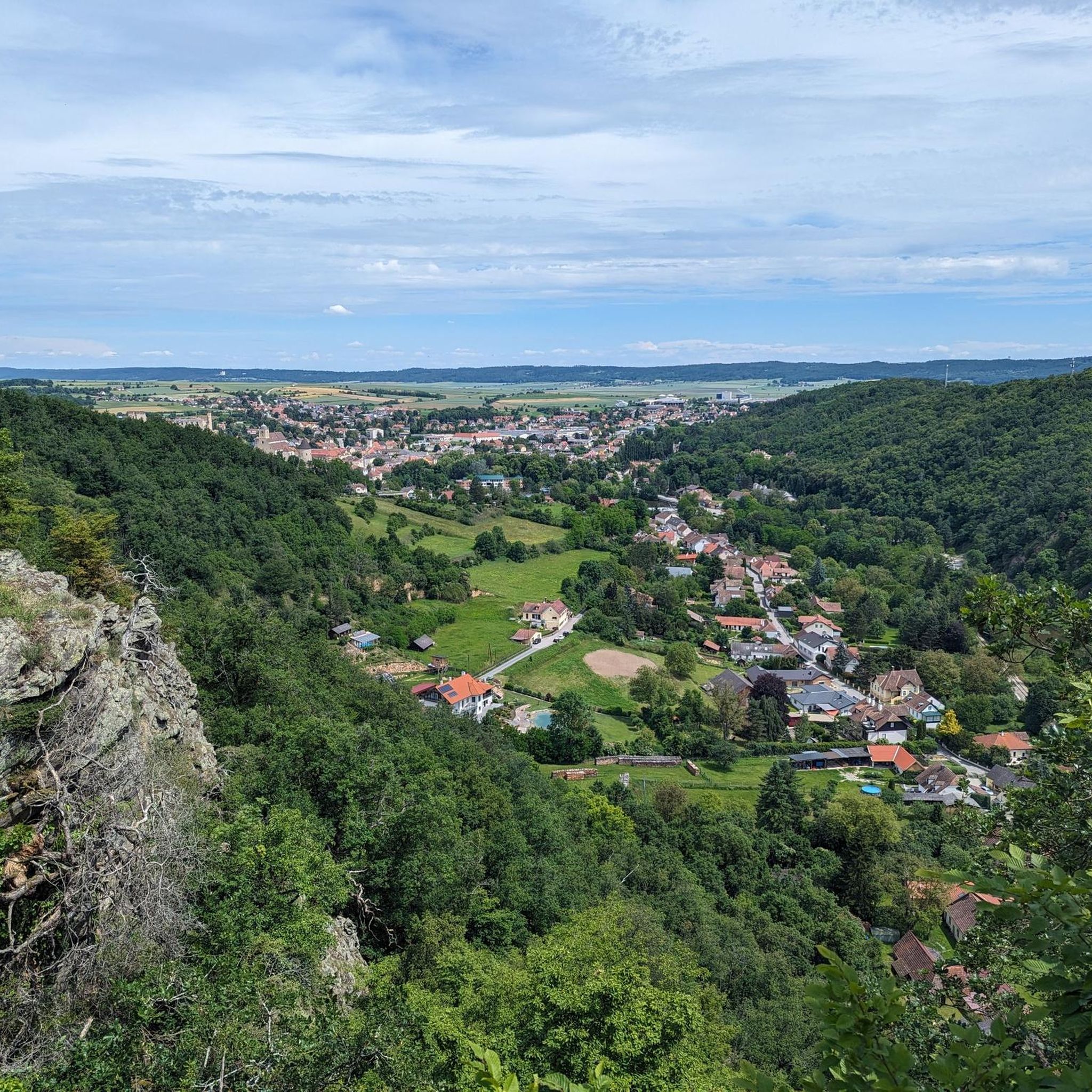
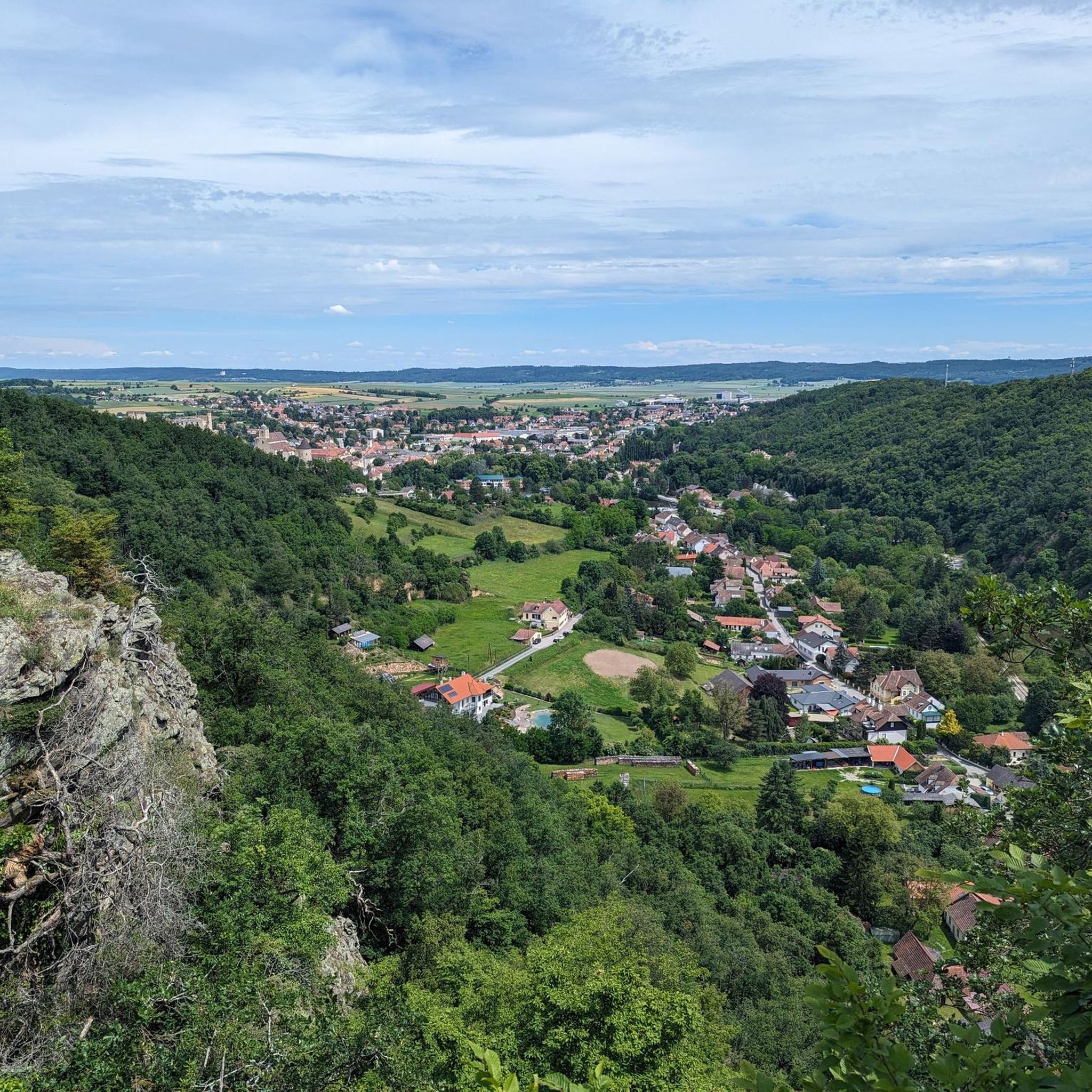
Right on the main square of the medieval town, you can sit in front of an inn and enjoy the cityscape. The town has a completely preserved city wall. Unique …

翻訳者 Google •

役立つ情報

によるものです

保存

クローンゼック城跡

ハイライト • 城

The hidden castle ruin has been lovingly restored, there is a lot to discover in the castle grounds with the many rooms and two accessible towers. Voluntary donations!

de.wikipedia.org/wiki/Burgruine_Kronsegg

翻訳者 Google •

役立つ情報

によるものです

保存

スティーフェルンバッハ川渡渉トレイル

ハイライト (セグメント) • トレイル

An estimated ten times this path crosses Stiefernbach. The water is not deep, with the right technique you will not get wet, mostly. I managed not to get wet in …

翻訳者 Google •

役立つ情報

によるものです

保存

無料でサインアップして、さらに多くの観光スポットを発見しましょう ガルス・アム・カンプでの。

無料新規登録

すでにアカウントをお持ちですか?

無料アカウントで今日から始めよう

次の冒険が待っています。
ログインまたは登録

ガルス・アム・カンプ周辺で人気

ガルス・アム・カンプでのハイキング

ガルス・アム・カンプでのサイクリング

ガルス・アム・カンプのMTBトレイル

ガルス・アム・カンプのロードバイクルート

ガルス・アム・カンプのランニングコース

ガルス・アム・カンプでののグラベルライド

コミュニティからのヒント

Pady🍀
5月 1, 2026, Eggenburg Town Center

エッゲンブルクの主要広場は、その広大さで特に印象的であり、それはエッゲンブルクという封建領主の町が持つ商業および市場としての重要性を反映しています。

Google翻訳による翻訳

0

0

The lookout tower is actually called Kamtalwarte and is 21 m high.

Google翻訳による翻訳

0

0

a great ruin where you can discover a lot and imagine the complex very well

Google翻訳による翻訳

1

0

The old chapel of the castle ruins

Google翻訳による翻訳

1

0

Great view from the front tower

Google翻訳による翻訳

1

0

Great view and view of the castle complex

Google翻訳による翻訳

1

0

The Bachlweg is no longer an official trail. Stream crossings are difficult due to flooding, as the stream has changed significantly. You simply have to wade through. It's still worth it, though; a great scenic tour, and technically easy.

Google翻訳による翻訳

0

0

the section from Tautendorf to Stiefern beside Stiefernbach is a tough ride and most properly not suitable for beginners. There are some challenging stream crossings and don't be surprised if you have to overcome some obstacles

0

0

ガルス・アム・カンプでのの人気ルート

ガルス・アム・カンプでのハイキング

ガルス・アム・カンプでのの人気観光スポット

Castles

Store rating

komootモバイルアプリでインスピレーションを得よう

無料のkomootアカウントがあれば、無限のアウトドアコースを簡単に見つけてカスタマイズし、ナビで案内できます。

または

今すぐkomootに参加しよう

Store rating

さらに探索

まだ探しているハイライトが見つかりませんか?他の地域のトップアトラクションのガイドを見てみましょう:

ヴァイタースフェルトレーシッツマイゼルドルフブルクシュライニッツ-キューンリングジークムントシャーベルクRosenburg-Moldランガウザンクトベルナールフラウエンホーフェンドローゼンドルフ・ツィザースドルフエッゲンブルクシュトラニング-グラフェンベルクIrnfritz-Messernレーレンバッハペルネックゲラスブルン・アン・デア・ワイルドヤポンス

近くのアドベンチャーガイド

Rosenburg-Moldでやるべきこと

background

新しいピークを征服する準備をしよう

無料でサインアップ

探検する
ルートルートプランナー機能ハイキングMTBトレイルロードバイクルートバイクパッキングサイトマップ
アプリをダウンロード
SNSでフォローする

© komoot GmbH

プライバシーポリシー