ヴュルフラートの絶景の山頂・トップ11
ヴュルフラート周辺の最高の山頂は、伝統的なそびえ立つ頂ではなく、起伏のある丘と高台が特徴の丘陵地帯ベルギッシュス・ラントにあります。ドイツ、ノルトライン=ヴェストファーレン州にあるこの地域は、風光明媚な景色を提供し、ハイキングやアウトドアアクティビティで人気があります。この景観は、地域の歴史への洞察を与えるかつての石灰岩採石場を含む、独自の地質学的特徴によって大きく形作られています。ヴュルフラート自体は約262メートルの標高に位置し、最高地点は約273メートルに達します。
ヴュルフラート周辺の最高の山頂
- 最も人気のある山頂は Stübchensberg で、Opphof、Straße Am Weinberg、Winchenbachstraße の間に広がる森林地帯です。この場所は街の緑の肺の一つと考えられており、最高地点は271メートルです。
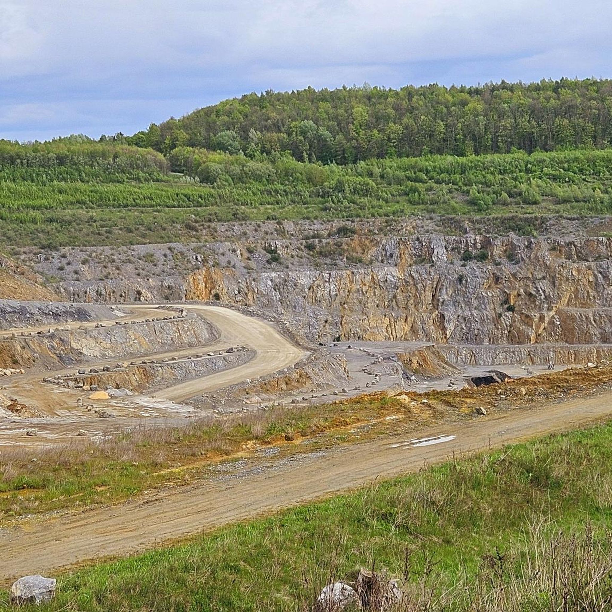
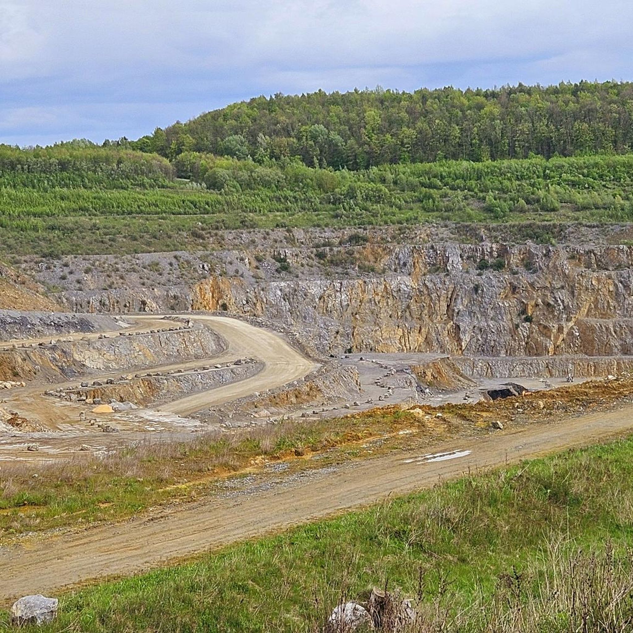
- もう一つの必見スポットは Stinkesberg で、周囲の森林の変化により広大な景色で知られる頂上です。このハイライトは、雑草が生い茂った石英岩の配置を特徴としています。
- 訪問者はまた、レムシャイトまで遠く見渡せる頂上である ゾーリンゲンの最高地点 も気に入っています。この地点は標高276.38メートルで、グレーフラートの灯台があります。
- ヴュルフラートは、高台、展望ポイント、森林地帯で知られています。これらには、アウトドア愛好家に多様な体験を提供するさまざまな頂上や自然の記念碑が含まれます。
- ヴュルフラート周辺の山頂は komoot コミュニティに高く評価されており、訪問者から516件以上の「いいね」と101枚の写真が共有されています。
最終更新日: 8月 25, 2026
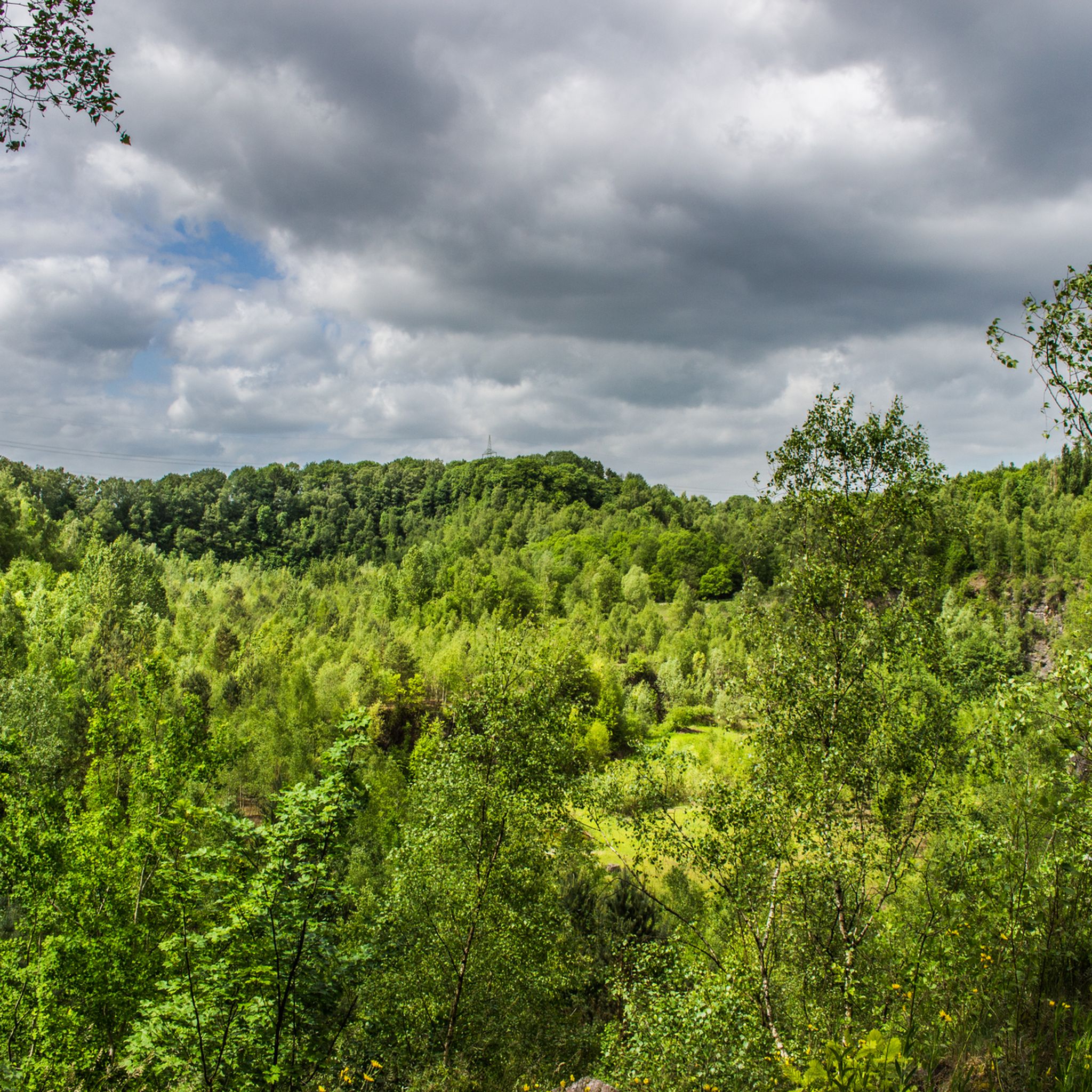
スティンケスベルク
ハイライト • 山頂
The word "stinky" is derived from "stones" …
翻訳者 Google •
役立つ情報 は

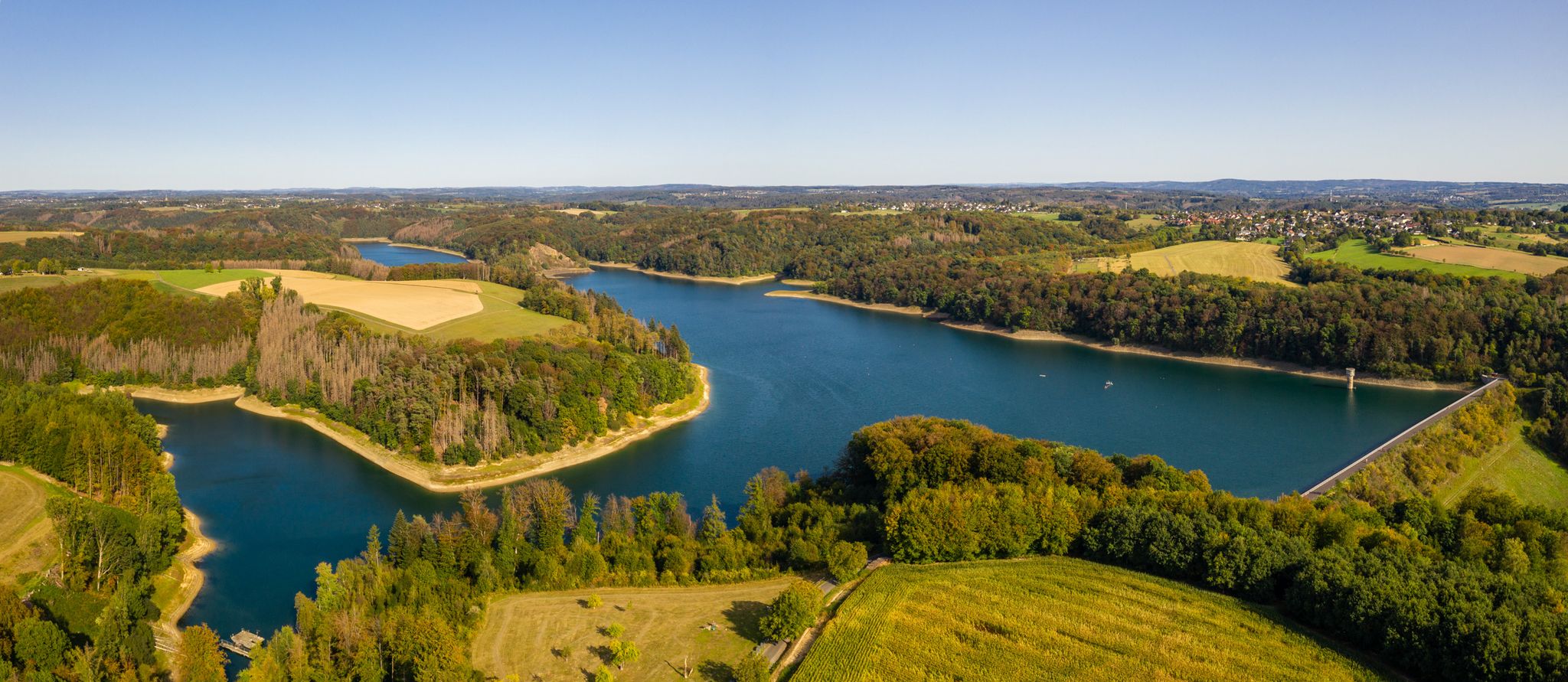
シュテューブヒェンスベルク
ハイライト • 森
The nearby A 46 cannot be overheard at least now in …
翻訳者 Google •
役立つ情報 は

今すぐサインアップして、こんな場所を発見しよう
最高のシングルトラック、ピーク、その他のエキサイティングなアウトドアスポットのおすすめを受け取ろう。
無料新規登録
ミンターダー・ベルク
ハイライト • 山頂
翻訳者 Google •
役立つ情報 は

ザンドベルク - デュッセルドルフの最高地点
ハイライト • 山頂
翻訳者 Google •
役立つ情報 は

ネヒステブレックの山頂十字架
ハイライト • 山頂
翻訳者 Google •
役立つ情報 は

無料でサインアップして、さらに多くの山を発見しましょう ヴュルフラートでの。
無料新規登録
すでにアカウントをお持ちですか?




コミュニティからのヒント

This spot is not only very beautiful and quiet, but also a special place. This spot is the highest point in Nächstebreck, exactly 301 meters above sea level. That's why locals with a strong sense of community erected a summit cross here. At the top of the cross is a plaque bearing the "INRI" sign and a faithfully forged coffin nail. The foundation dates from 1995. The silhouette shows the landscape opposite the summit cross. The view extends as far as Schwelm. But see for yourself; it's worth a visit.
0
0

To be honest, I didn't know that the highest point in Düsseldorf was there. Learned something new.
0
0

The Sandberg is the highest elevation in the city at 164.7 m and is completely forested. Limonite and gravel deposits from the Rhine can be found here.
0
0

Mintarder Berg The Mintarder Berg is an elevation in Mintard, a district of Mülheim an der Ruhr. The mountain is 116 m high and represents the eastern border of the Ruhr valley. The Mintarder Berg is part of the Ruhr Heights on the Lower Ruhr. The Sommersberg in the south is 121 m higher than the Mintarder Berg, while the Auberg to the north reaches a height of 106 m. The west flank of the Mintarder Berg falls steeply into the Ruhr Valley. natural reserve The area around the mountain has been protected as the Mintarder Ruhrtalhang and Mintarder Berg nature reserve since 2005. The nature reserve covers 28.9 hectares. Hike The Mintarder Berg is crossed by numerous hiking trails that run, for example, via Ratingen-Hösel, Laupendahl and near the Mintarder Ruhrtalbrücke. Source and link: https://de.wikipedia.org/wiki/Mintarder_Berg
2
0

We've walked past here more than once. Today we climbed up and admired the quartzite chunks.
2
0

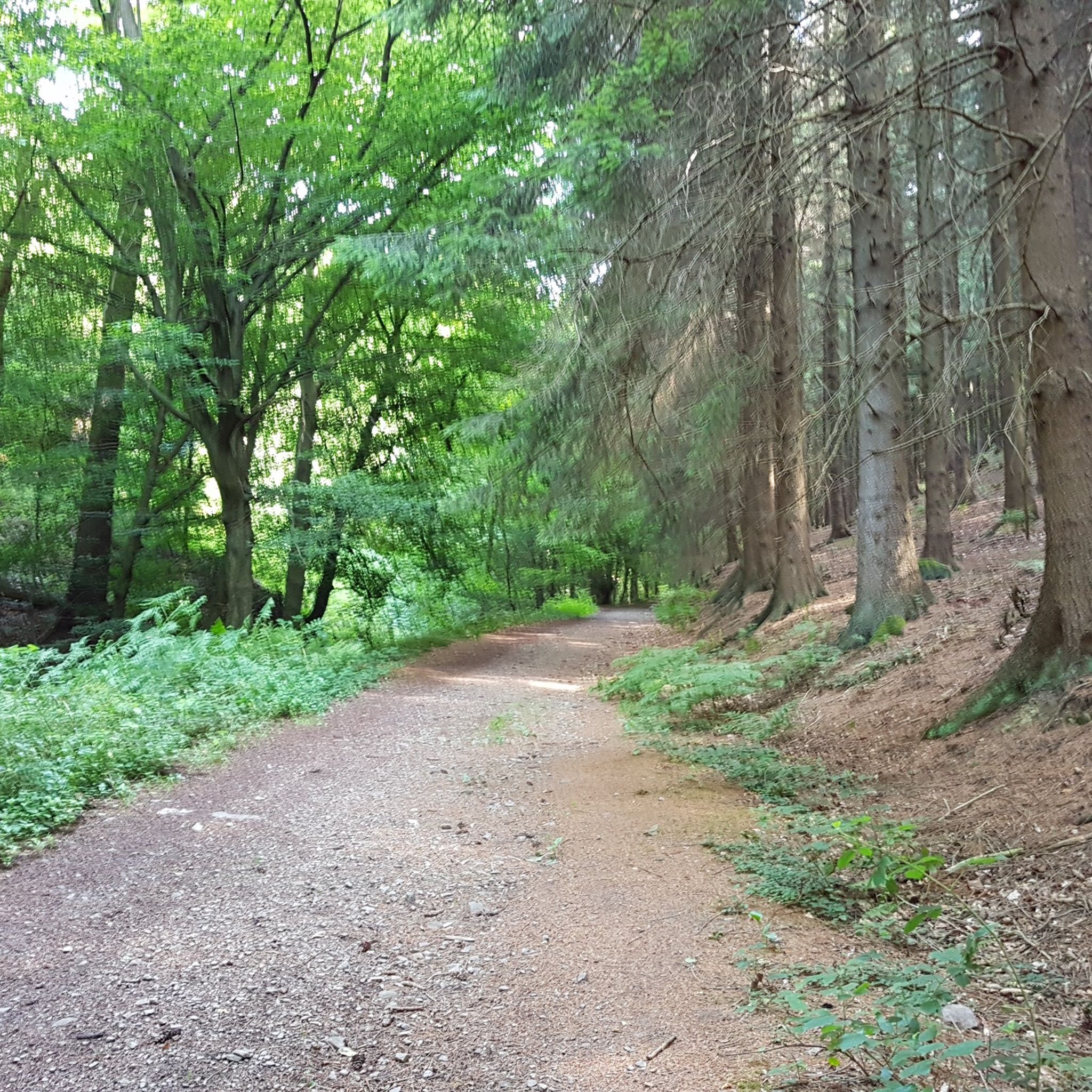
Beautiful natural forest path near the Rodenbuschbach.
2
0

Stinkesberg first ascent after decades. For whatever reason, the tours that have taken us to this area in recent years have not taken us over the Stinkesberg. Today, however, we shuffle up the hill with muddy soles and look forward to the incredibly green moss on the sun-drenched basalt boulders.
2
0

A legend is associated with the Stübchensberg. A gallows is said to have stood there on which an innocent man was executed. Immediately after the execution, the innocence was proven and the gallows was broken off immediately, the judge immediately resigned on site. Since then, the place of the gallows has always been damp because the tears for the executed person well up there. The Stübchensberg is a 271 meter high, wooded ridge on the border of the Wuppertal districts of Elberfeld and Barmen. topology The ridge is located in the north of the geographical center of Wuppertal and extends in an east-west direction. The district of Uellendahl is to the north and the district of Clausen to the south. The Mirker Bach runs at the northern foot of the ridge and the Schönebeck at the south. To the west is the neighboring Uellendahler Berg, which belongs to the ridge and on the western flank of which is the Jewish cemetery at the Weinberg. The southern flank of the Stübchensberg is cut through by the federal motorway 46, behind which lies the Helios Klinikum Wuppertal. The city limits of the two formerly independent cities of Elberfeld and Barmen, today the city district border between the Wuppertal districts of Uellendahl-Katernberg and Barmen, ran on the ridge. Source: https://de-academic.com/dic.nsf/dewiki/1343146
1
0

komootモバイルアプリでインスピレーションを得よう


さらに探索
これらのガイドでさらに素晴らしい頂上を見てみましょうヴュルフラートでの:
