ゼーセンの滝・トップ11
そこへたどり着くまでの移動手段がなんであれ、息を呑むような体験をもたらしてくれる滝。ゼーセンには行ってみたい11
の美しい滝があります。次のアウトドアの旅で行きたい滝を決められるよう、それぞれの滝についての写真や役立つ情報を以下に掲載しています。参考にして、スムーズに次の冒険を計画しましょう。
最終更新日: 10月 25, 2026
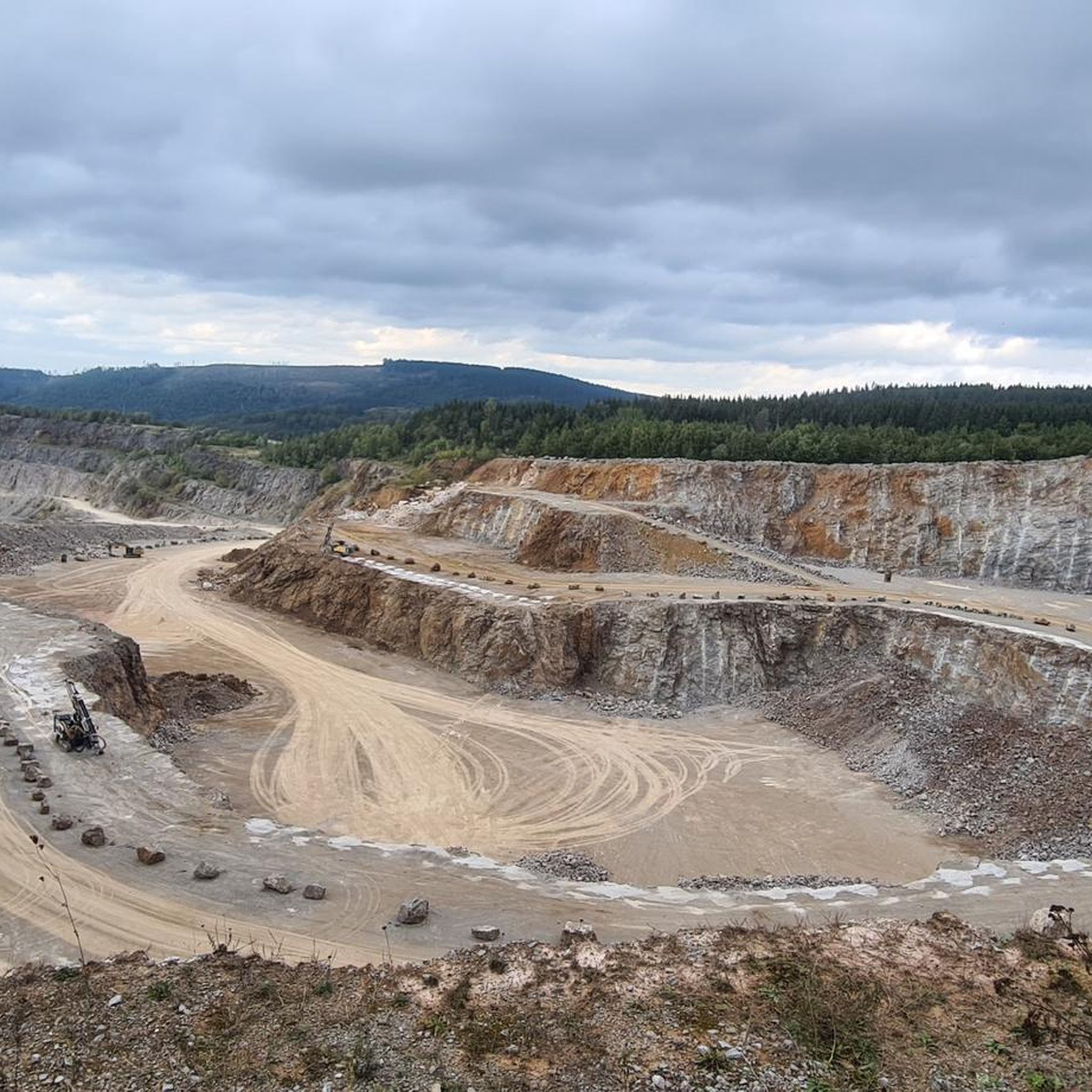
シュピーゲルタールの滝
ハイライト • 滝
翻訳者 Google •
役立つ情報 は

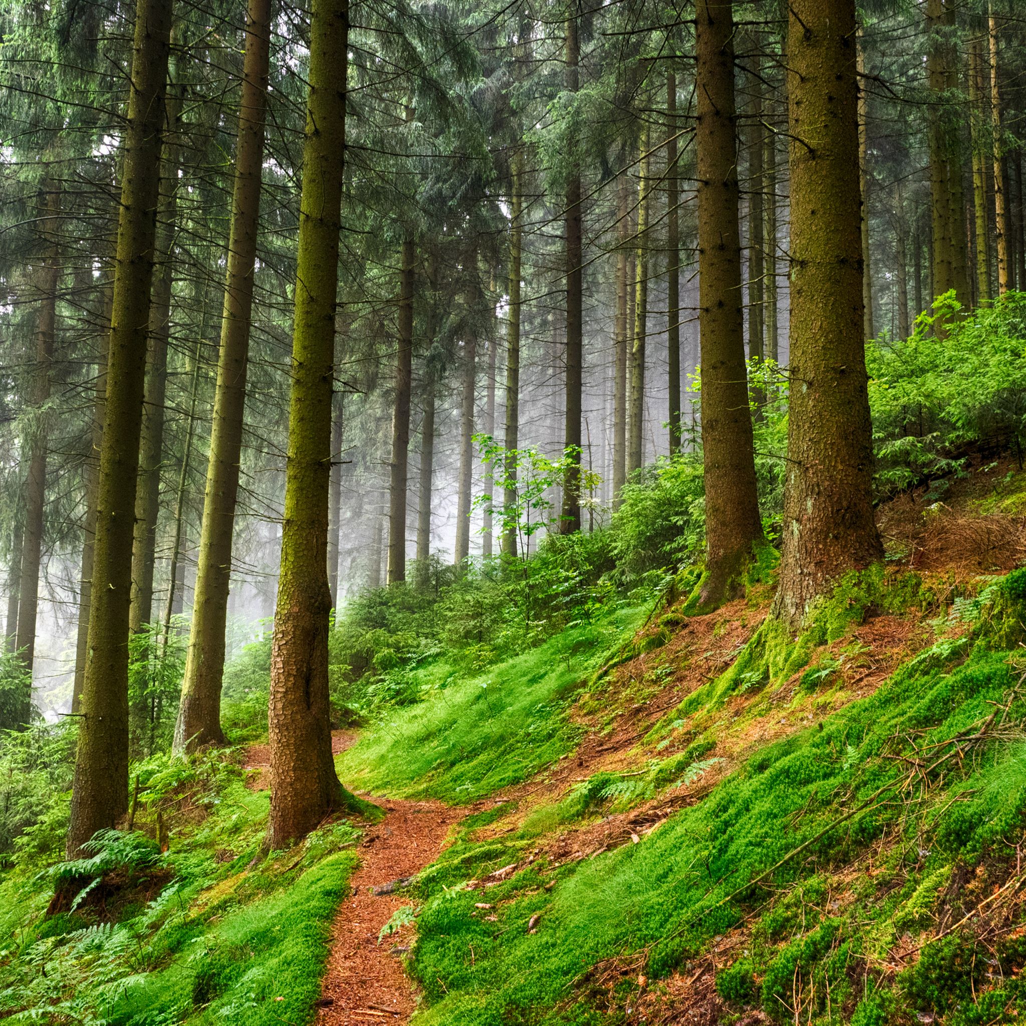
クラウスタール=ツェレルフェルト近くのインナーステ滝
ハイライト • 滝
翻訳者 Google •
役立つ情報 は

今すぐサインアップして、こんな場所を発見しよう
最高のシングルトラック、ピーク、その他のエキサイティングなアウトドアスポットのおすすめを受け取ろう。
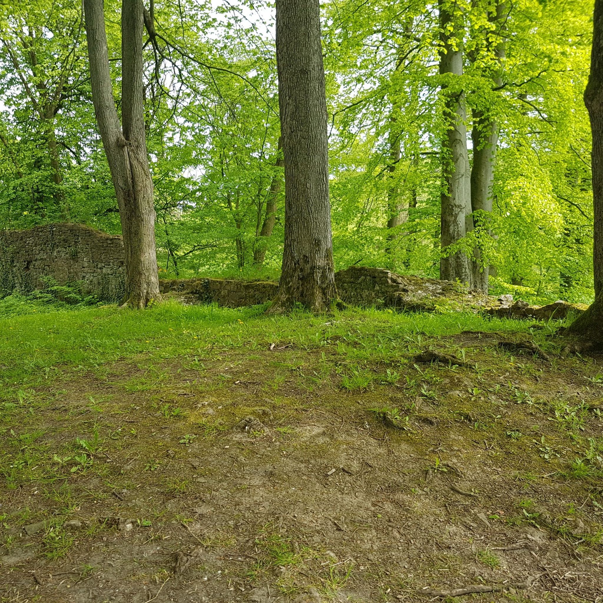
Untere Spiegelbacher Wasserfälle
ハイライト • 滝
翻訳者 Google •
役立つ情報 は

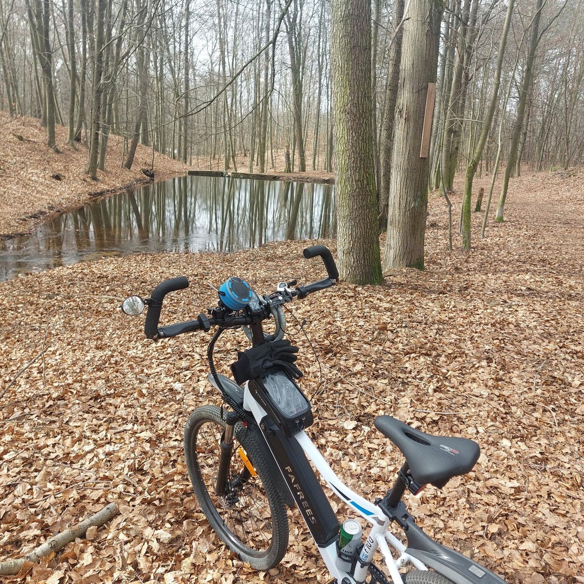
Oberer Flößteichと風光明媚な森林トレイル
ハイライト • トレイル
翻訳者 Google •
役立つ情報 は

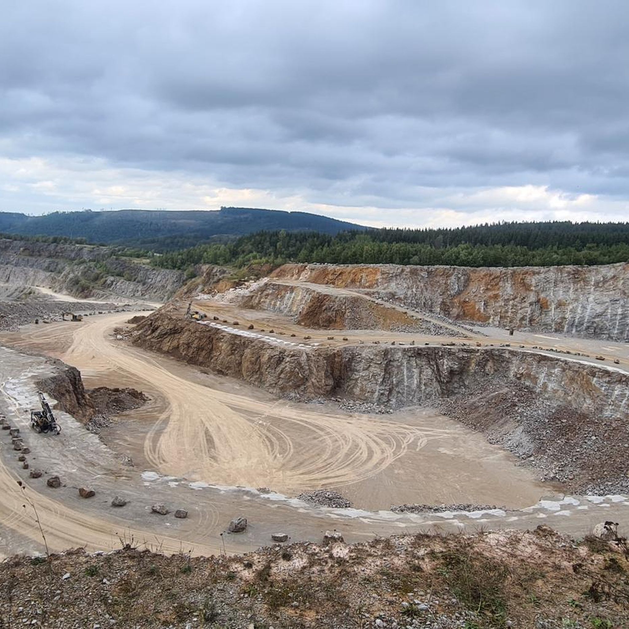
Versteinerungsbäche
ハイライト • 川
翻訳者 Google •
役立つ情報 は

無料でサインアップして、さらに多くの滝を発見しましょう ゼーセンでの。
すでにアカウントをお持ちですか?
無料アカウントで今日から始めよう
次の冒険が待っています。
コミュニティからのヒント

A great highlight in this forest region: a geologically unique stream that cascades down like a small waterfall.
1
0

It is wonderful to enjoy nature on the well-developed hiking trails and there are places to rest and relax everywhere
0
0

In the Harz Mountains, there are numerous places with almost untouched nature, where wild and rushing streams with clean water make their way down between rugged rocks. The river in the Harz that is furthest from this idyll is probably the Innerste. Almost nothing of the sketched image of this body of water is true of this body of water. The source of the Innerste, the "Innerste Spring," is located southeast of Clausthal-Zellerfeld near Federal Highway 242 at an altitude of approximately 610 meters above sea level. When the Innerste reaches the town of Buntenbock after a three-kilometer course, its waters have already been blocked from flowing freely by the Entensumpf (entrap marsh) in the Oberer Nassenwieser Teich (upper wetland pond), the Bärenbrucher Teich (barn brook), the Ziegenberger Teich (ziedenberg pond), and the Großer Sumpfteich (large swamp pond). Numerous tributaries have also transformed what was initially a small mountain stream into a substantial river. Beyond Buntenbock lies the Prinzenteich, the largest dam on the river's relatively short route from its source to here. When the water of the Innerste leaves this historic dam, it is anything but wild due to the many regulations, but at least it is still clean. But that, too, is changing. In the section of the Innerste Valley below the Prinzenteich, during the mining era, one stamp mill followed the next, flanked by countless smelters for further processing the crushed ore. All of these subsequent mining operations harnessed the hydropower of the tamed Innerste River and its tributaries. The waste produced during silver mining in the form of slag, crushed sand, and sludge was stored close to the river and unprotected, in the immediate vicinity of the workshops. These heavy metal-rich dumps remain largely there to this day. After passing through the two old mining towns of Wildemann and Lautenthal, the Innerste River is once again held back and dammed by the large Innerste Dam, built in the 1960s. At 750 meters long, the dam wall of the Innerste Dam is the longest of all the dams in the Harz Mountains. About three kilometers below this dam wall, the Innerste River flows through Langelsheim, leaving the Harz Mountains to the north. Source: https://www.harzlife.de/info/innerste.html
1
0


Very beautiful waterfall at the "Unterer Spiegeltaler Teich".
2
0

Beautiful, small waterfall. In my opinion more beautiful than the Spiegelthal waterfall
4
0

Stone and root path, sturdy shoes and surefootedness required!
2
0

The Innerste rises at 605 m above sea level near Clausthal-Zellerfeld, above the Entensumpf pond. On its way it flows through several ponds of the Upper Harz water system, through the Innerste Dam near Langelsheim, meanders through Hildesheim and finally flows into the Leine near Sarstedt after about 97 km.
2
0

komootモバイルアプリでインスピレーションを得よう


さらに探索
少し遠出するのは嬉しいですか?それなら、これらのガイドで最高の滝を見てみましょうゼーセンでの:
