エルファースハウゼンのおすすめウォーキング&ハイキングルート
4.6
(9008)
32,565
ハイカー
87
ハイキング
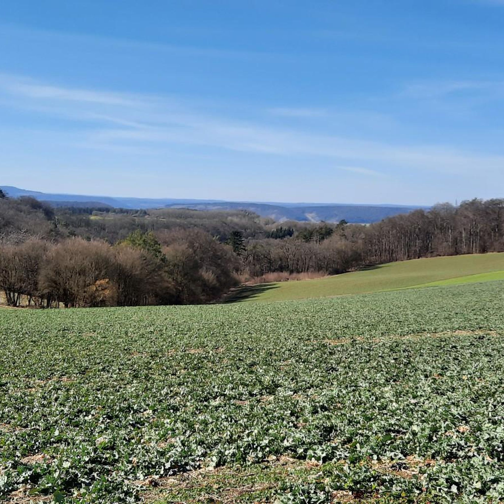
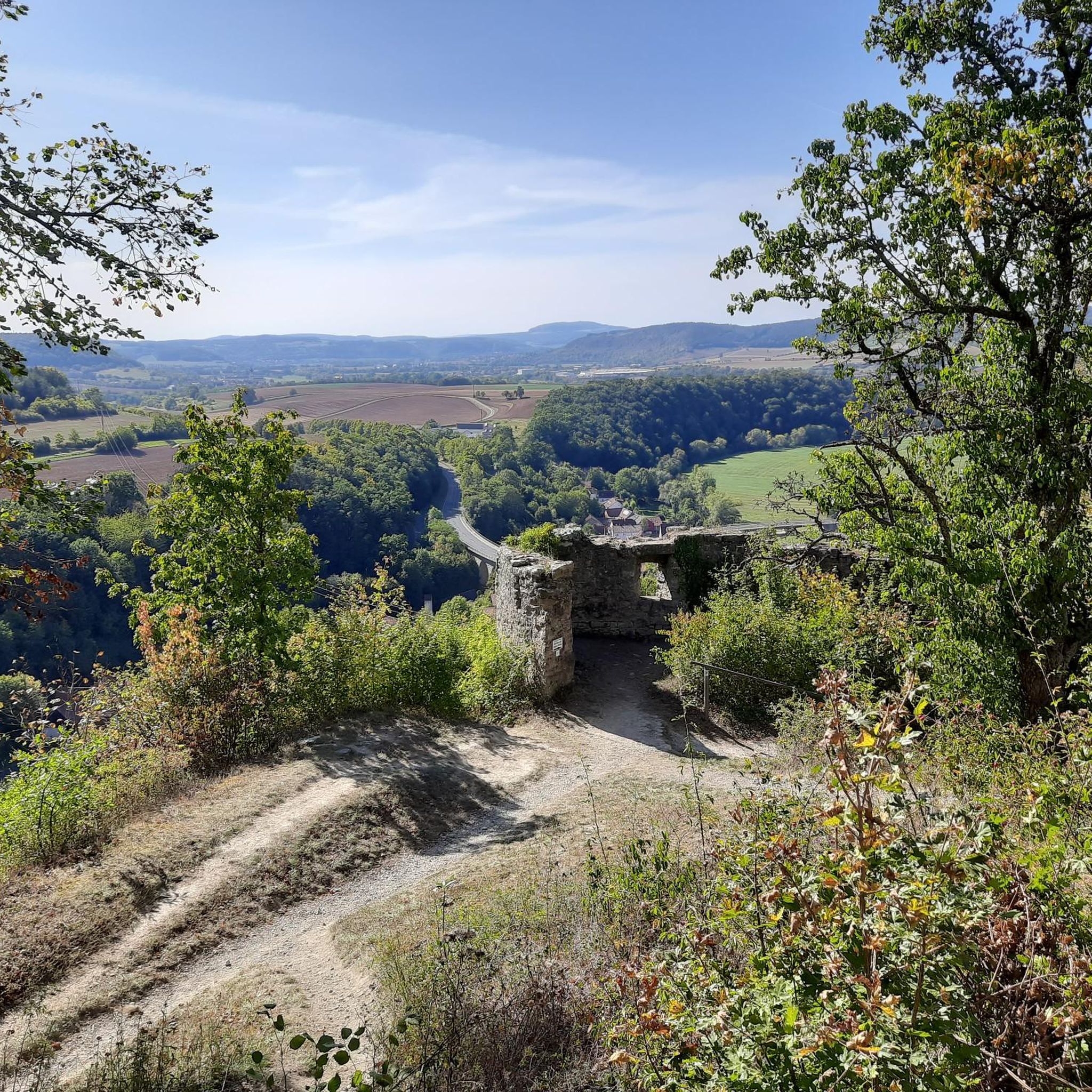
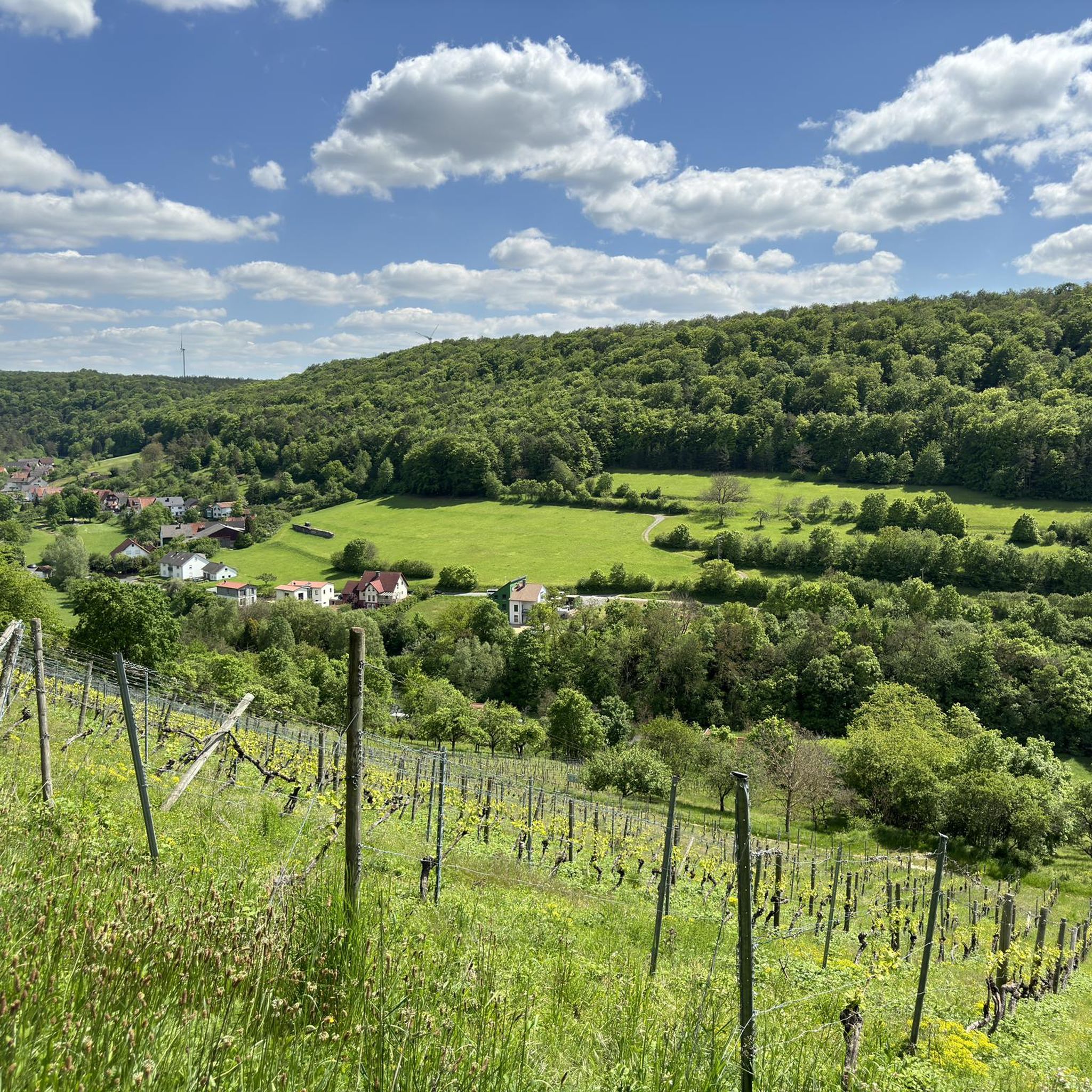
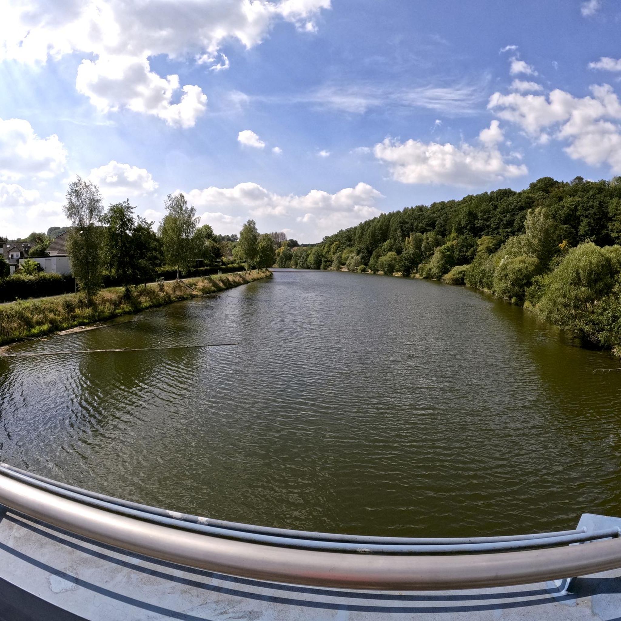
ハイキングは、風光明媚なザーレ渓谷と蛇行するフランケン・ザーレ川を特徴とする多様な景観を提供しています。この地域には、なだらかな丘、広大な森林地帯、川岸に沿った開けた小道があります。ハイカーはブドウ畑に出会うこともあり、景観の美しさをさらに高めています。トリンブルク城跡のような歴史的建造物は多くのルートに組み込まれており、見どころとなっています。
エルファーハウゼン周辺の最高のハイキングコース
- 最も人気のあるハイキングコースは、エルファーハウゼンからのザーレ渓谷の眺めとトリンブルク城跡のループで、距離5.96マイル(9.6 km)、所要時間2時間46分です。このルートからは、ザーレ渓谷と歴史的なトリンブルク城跡の眺めが楽しめます。
- 地元のハイカーに人気のもう一つのコースは、エルファーハウゼン・トリンベルクからのザーレ渓谷の眺めとトリンブルク城跡のループで、適度な難易度の9.6マイル(15.4 km)の小道です。このトレイルからは、ザーレ渓谷と周辺地域のパノラマビューが楽しめます。
- 地元のハイカーに人気のトリンブルク城跡の眺めとトリンブルクへのループは、エルファーハウゼンからのもので、距離3.7マイル(6.0 km)で、トリンブルク城跡の眺めとともに変化に富んだ景観を通り抜けるトレイルで、所要時間は約1時間44分です。
- エルファーハウゼン周辺のハイキングは、ザーレ渓谷、森林地帯の丘、そしてトリンブルク城跡のような史跡によって特徴づけられます。トレイルネットワークは、簡単な散策からより挑戦的な中程度のハイキングまで、さまざまなレベルのオプションを提供しています。
- エルファーハウゼンのルートは、7,900件以上のレビューから平均4.6つ星を獲得しており、komootコミュニティから高く評価されています。31,000人以上のハイカーがkomootを利用して、エルファーハウゼンの変化に富んだ地形を探索しています。
最終更新日: 10月 4, 2026
4.8
(54)
208
ハイカー
9.59km
02:46
240m
230m
中程度のハイキング. ある程度のフィットネスレベルが必要です。 全般的に進みやすいルートです。安定して歩行できる技術が必要です。
4.8
(25)
84
ハイカー
15.4km
04:17
280m
280m
中程度のハイキング. ある程度のフィットネスレベルが必要です。 全般的に進みやすいルートです。安定して歩行できる技術が必要です。

4.7
(31)
90
ハイカー
6.18km
01:46
130m
130m
中程度のハイキング. あらゆるフィットネスレベルに適しています。 全般的に進みやすいルートです。安定して歩行できる技術が必要です。
4.7
(15)
50
ハイカー
5.99km
01:44
150m
160m
中程度のハイキング. あらゆるフィットネスレベルに適しています。 全般的に進みやすいルートです。安定して歩行できる技術が必要です。
4.8
(13)
44
ハイカー
5.41km
01:35
140m
140m
中程度のハイキング. あらゆるフィットネスレベルに適しています。 全般的に進みやすいルートです。安定して歩行できる技術が必要です。
さらに多くのルートや他のユーザーのおすすめ情報を確認できます。
すでにアカウントをお持ちですか?
おすすめのツアーは他のkomootユーザーが実際に経験した何千ものアクティビティに基づいています。
無料アカウントで今日から始めよう
次の冒険が待っています。
コミュニティからのヒント

Trimburg, or Trimberg Castle, is the ruin of a medieval hilltop castle belonging to the Lords of Trimberg, east of the village of the same name, a part of the municipality of Elfershausen in Lower Franconia in the Bad Kissingen district of Bavaria, Germany.[1] The ruins are visible from afar, about 60 meters above the Franconian Saale River on the Pfaffenberg mountain. Source: https://de.wikipedia.org/wiki/Trimburg Unfortunately, the ruins are only accessible on Sundays, but with catering. Please inquire about opening hours.
15
0
The cemetery with the chapel is located on the footpath to the ruins. A beautiful churchyard.
14
0


Beautiful lime kiln with a great view over Machtilshausen.
0
0

Cemeteries are not tourist destinations, but it is always worth going over and looking
0
0
Just sit down, take a breather and enjoy the view
0
0

Wonderful view of the surroundings!
5
0
Beautiful path up to the castle. A highlight in any season!
5
0
エルファースハウゼンでのの人気観光スポット

komootモバイルアプリでインスピレーションを得よう


さらに探索
他の地域の最高のハイキングを見てみましょう。
