多くの周辺のアトラクション&必見スポット - トップ20
多くのには必見のスポットがたくさんあります。ハイキング愛好家やサイクリング愛好家の方は、ぜひ多くのを探索してこのエリアにある20
の隠れたスポットを訪れてみてください。このエリアの必見スポットを確認し、次の冒険に出かける計画を立てましょう。
最終更新日: 9月 12, 2026
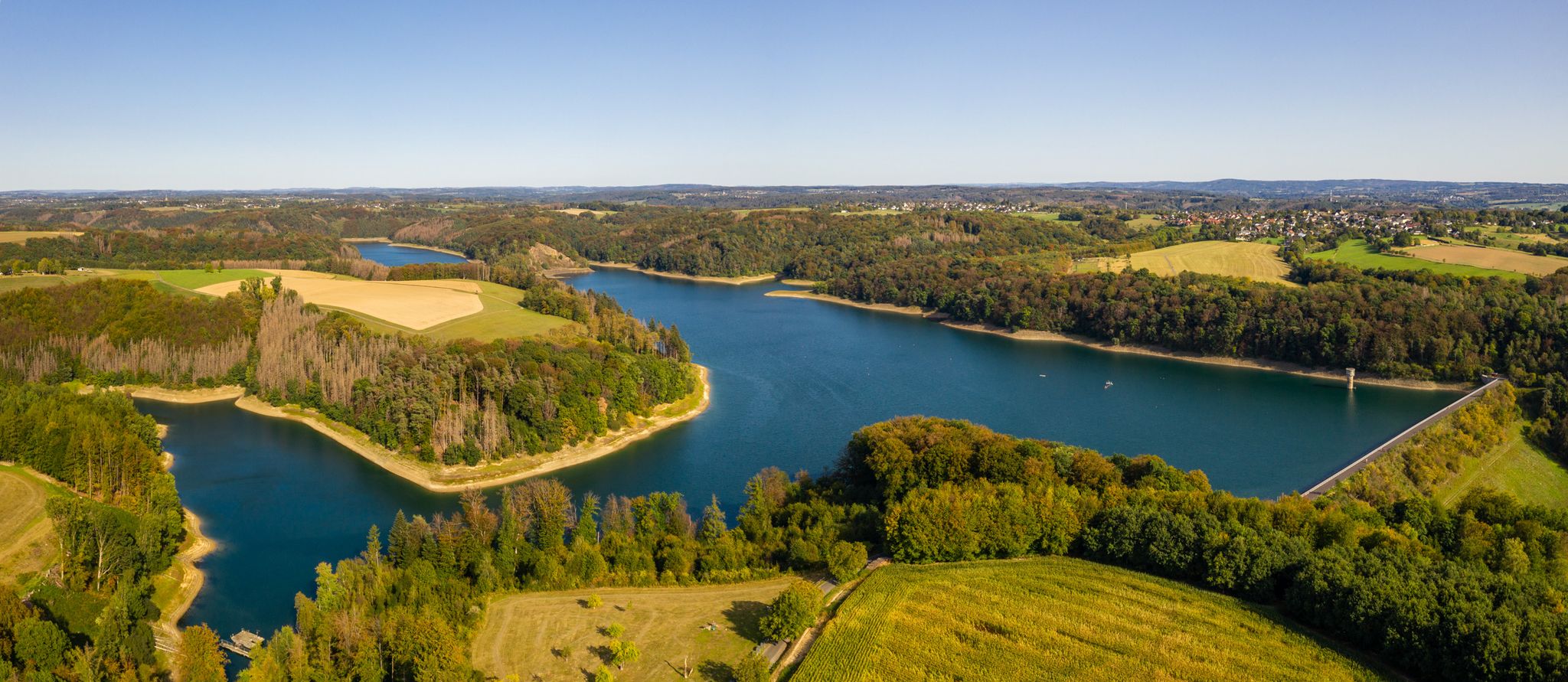
ヴァーンバッハ貯水池
ハイライト • 湖
翻訳者 Google •
役立つ情報 は

Gammersbacher Mühle(ガマースバッハー・ミューレ)農場とビアガーデン
ハイライト • レストラン
翻訳者 Google •
役立つ情報 は

今すぐサインアップして、こんな場所を発見しよう
最高のシングルトラック、ピーク、その他のエキサイティングなアウトドアスポットのおすすめを受け取ろう。
ホーチミン・トレイル
ハイライト (セグメント) • トレイル
翻訳者 Google •
役立つ情報 は

アッガーボーゲン
ハイライト (セグメント) • 橋
翻訳者 Google •
役立つ情報 は

エーレスホーフェン城
ハイライト • 城
翻訳者 Google •
役立つ情報 は

無料でサインアップして、さらに多くの観光スポットを発見しましょう 多くのでの。
すでにアカウントをお持ちですか?
無料アカウントで今日から始めよう
次の冒険が待っています。
多くの周辺で人気
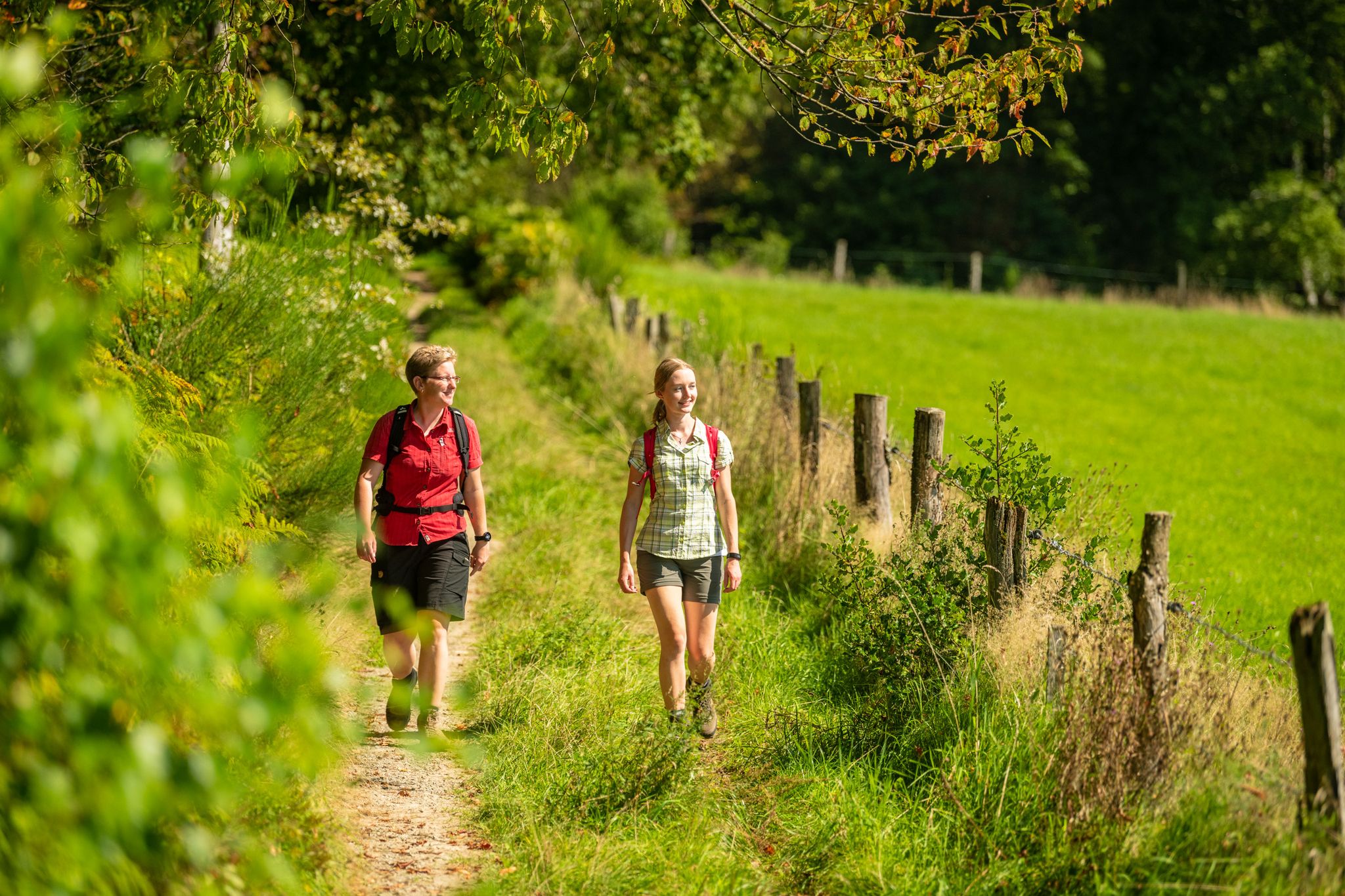
Bergische Rambles – themed and adventure trails in the Bergisches Land region
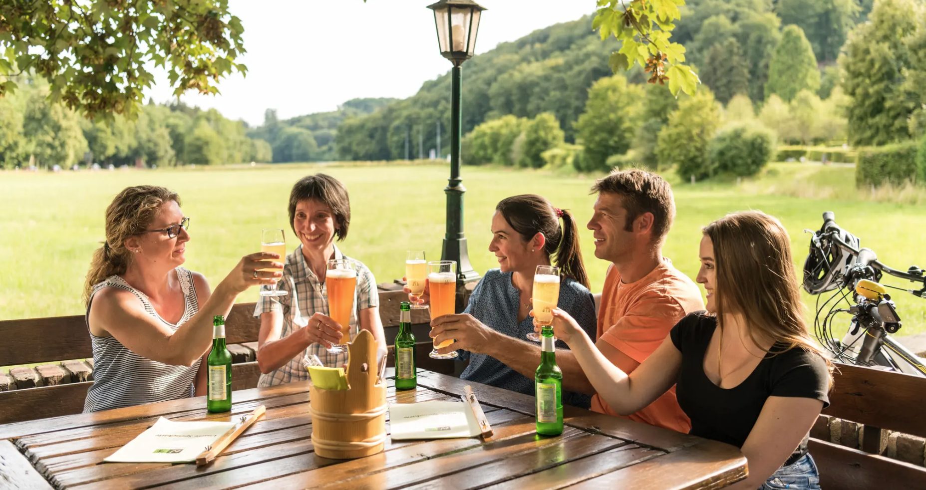
Hike and indulge in regional delights in Bergisches Land
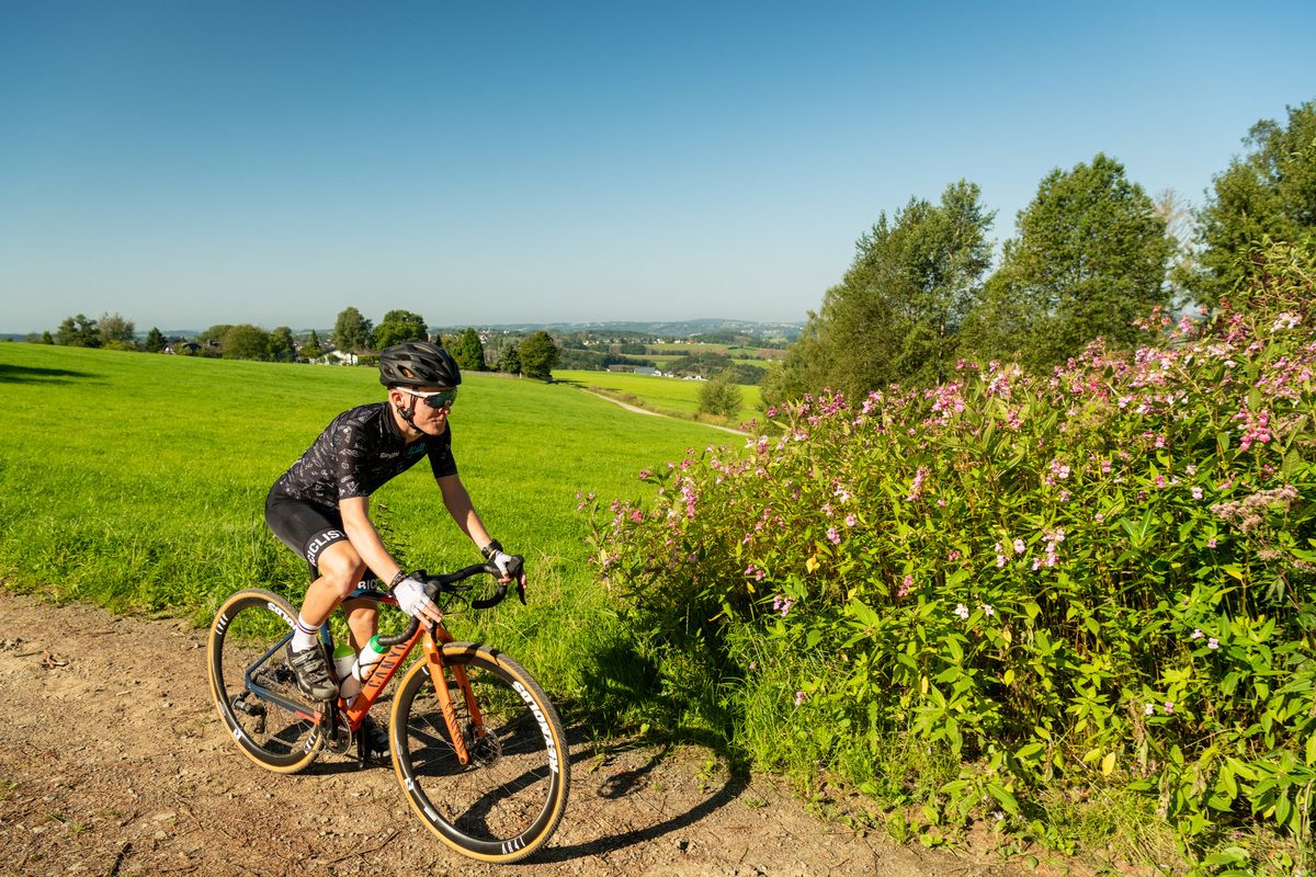
Forests, meadows and valleys — Gravel bike Tours in Bergisches Land
The Bergische Weg - Germany's most beautiful hiking trail 2024
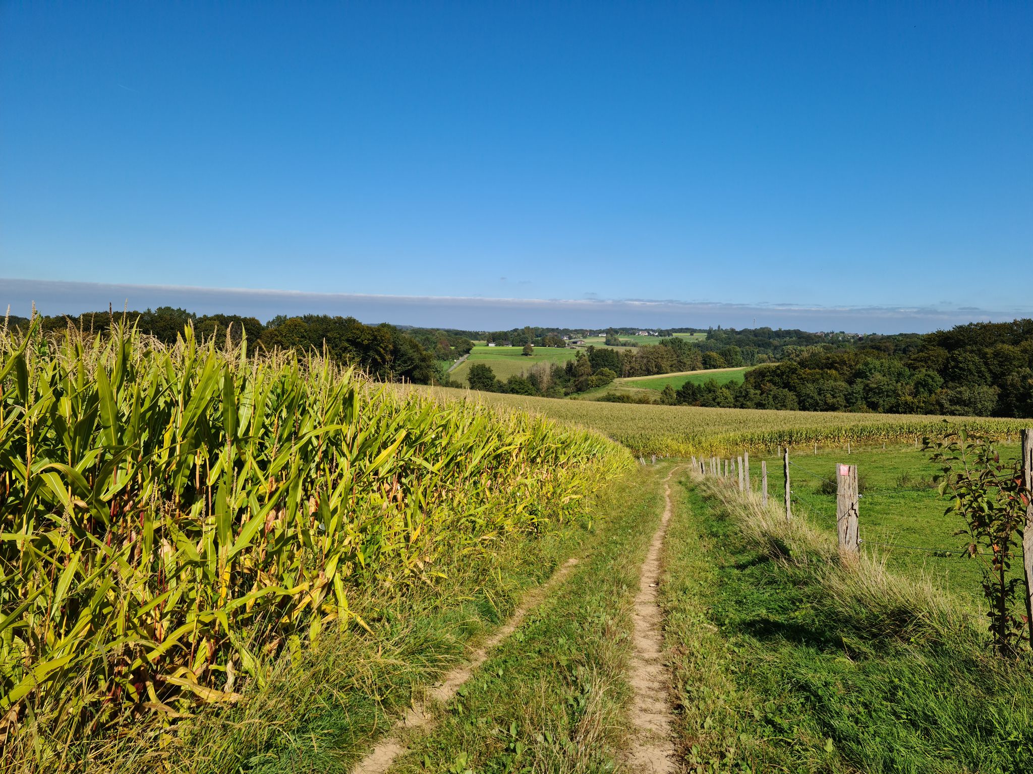
バーギッシュ・ランドでの漫步とハイキング
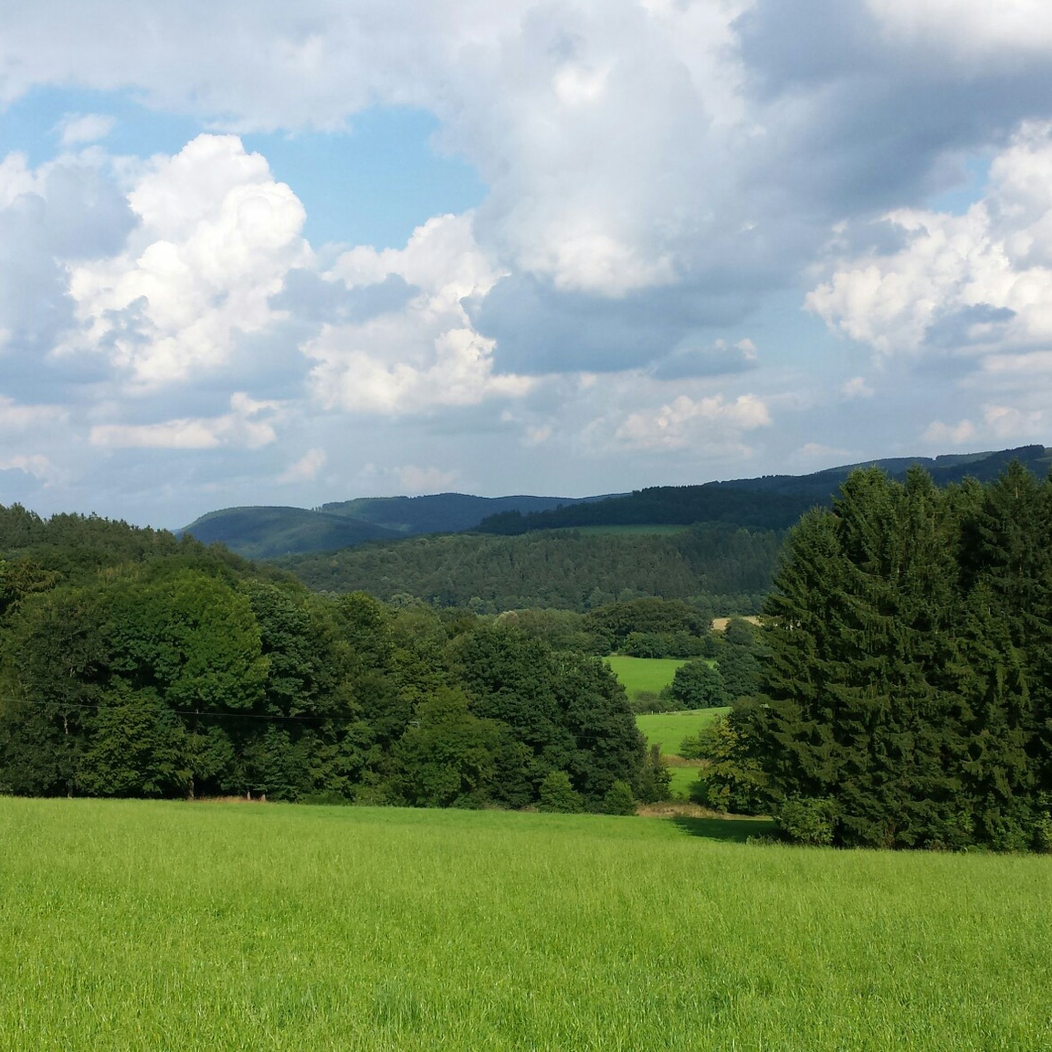
多くのでのハイキング
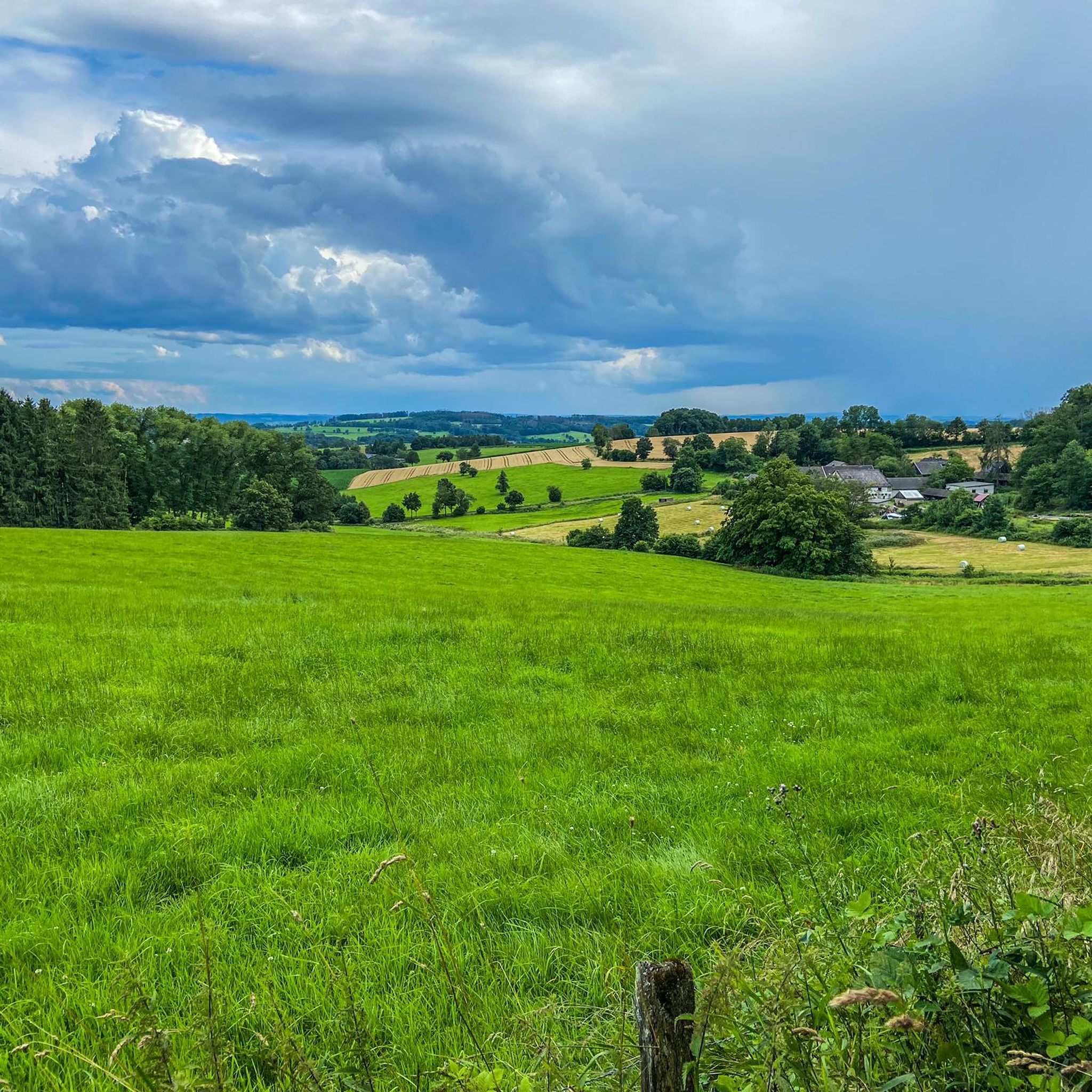
多くのでのサイクリング
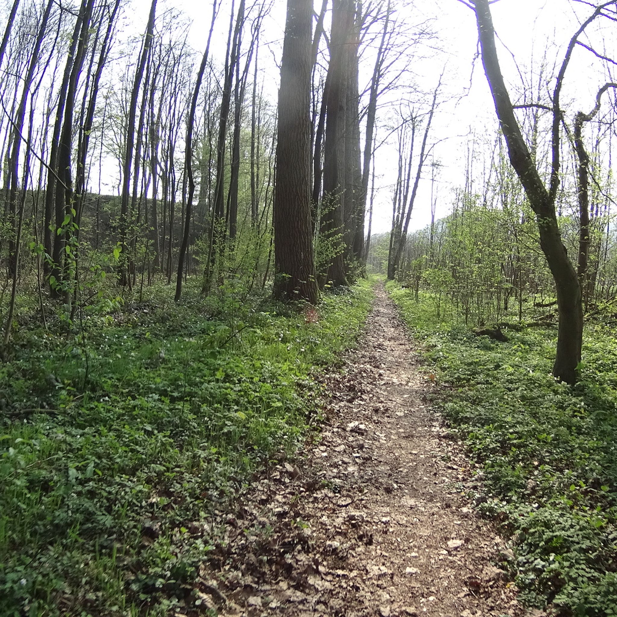
多くののMTBトレイル
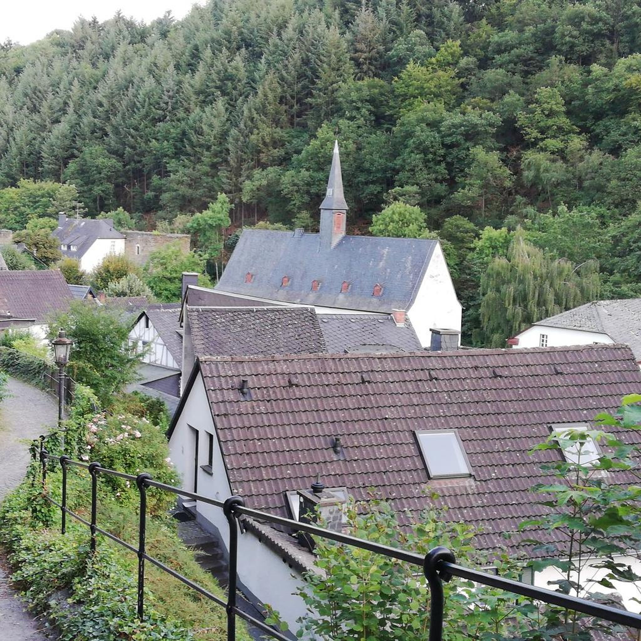
多くのでののグラベルライド
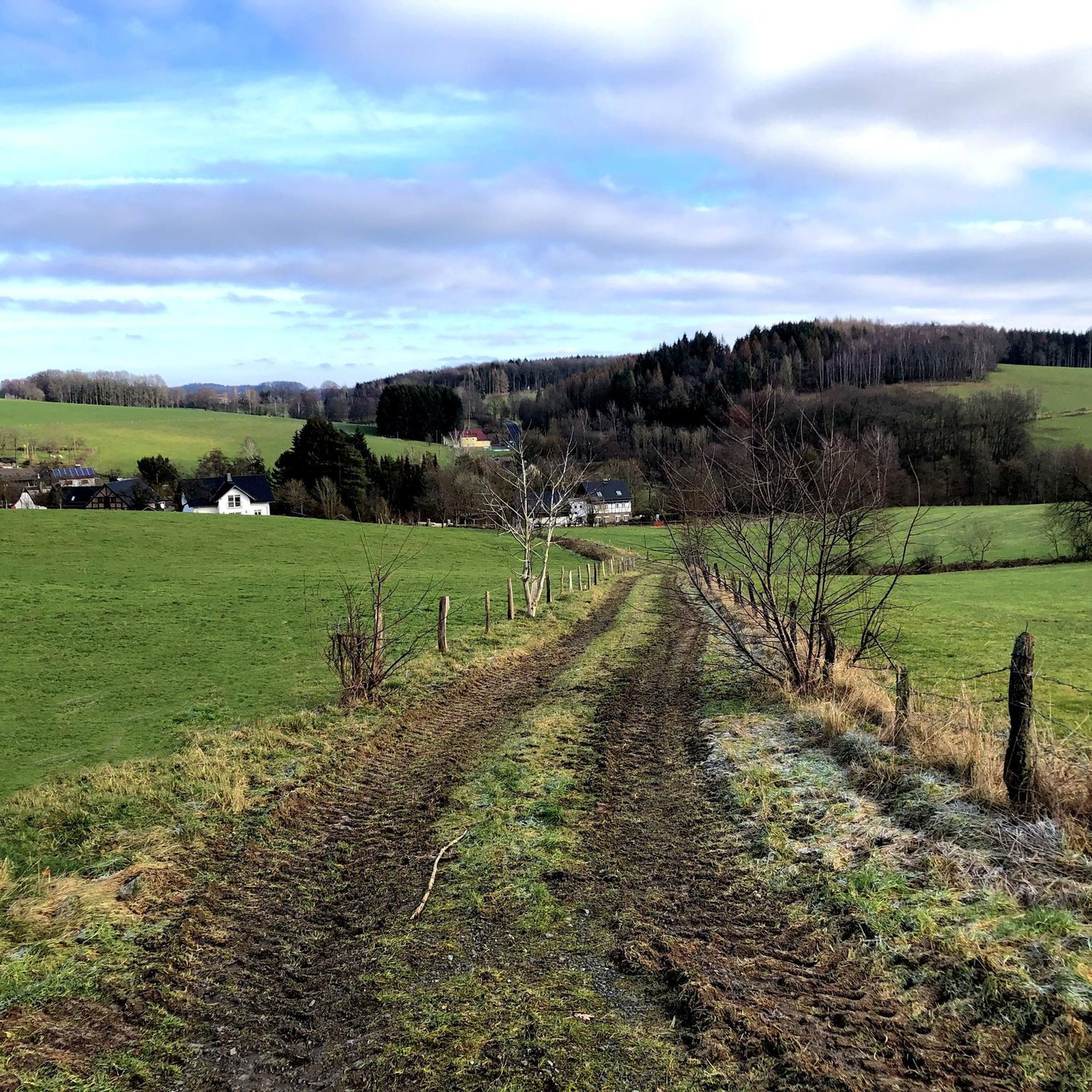
多くののロードバイクルート
多くのでのの他の冒険


コミュニティからのヒント

"In Troisdorf, the Agger flows into the Sieg, 70 kilometers from its source in Meinerzhagen, just behind the Agger weir opposite the Mannstaedt works. On its way from the Sauerland to the Rhineland, it climbs around 387 meters in altitude. Coming from Lohmar, it forms the city limits of about 2.8 kilometers to Lohmar and Siegburg. The name Agger is of Celtic origin and means "flowing water". FURTHER INFORMATION: https://www.troisdorf.de/de/natur-kultur/fluesse-und-seen/agger/ https://de.wikipedia.org/wiki/Agger
5
0

The view of the Agger across from the Aggerbogen landscape garden is always beautiful.
7
0

Beautiful spacious castle. The XL evening editions of Bares-für-Rares occasionally take place here.
7
0

Schloss Ehreshoven is a moated castle on the Agger, which was first mentioned in 1355 as the property of Siegburg's Michaelsberg Abbey. The quarry stone building with its pentagonal courtyard and baroque park is considered one of the most magnificent aristocratic residences in the Bergisches Land. Schloss Ehreshoven is still inhabited and not open to the public, but individual rooms can be rented for events.
6
0

The water is nice blue and calm, amazing view
8
0

The entire region around the Wahnbachtalsperre offers quiet places with a wonderful view of the reservoir. A great local recreation area!
7
0

Nice refreshment stop with play opportunities for children.
9
0

Update September 2020: the HCM path is completely passable again. Many thanks to everyone who put the trail back in such great condition !!!
10
0

komootモバイルアプリでインスピレーションを得よう


さらに探索
まだ探しているハイライトが見つかりませんか?他の地域のトップアトラクションのガイドを見てみましょう:
