ノイボイアーンの絶景の山頂・トップ20
絶景を目指して登るのであれ、達成感のために登るのであれ、山頂を訪れることで、ノイボイアーンの美しい自然をもっと満喫することができます。20
もの選択肢の中から、制覇する山頂を決めるのは簡単ではありません。スムーズに次の冒険で目指す山頂を選べるように、ノイボイアーンの素晴らしい山頂をこのガイドにまとめました。
最終更新日: 11月 20, 2026
Kranzhorn頂上
ハイライト • 山頂
翻訳者 Google •
役立つ情報 は

ファレンポイント山頂
ハイライト • 山頂
翻訳者 Google •
役立つ情報 は

今すぐサインアップして、こんな場所を発見しよう
最高のシングルトラック、ピーク、その他のエキサイティングなアウトドアスポットのおすすめを受け取ろう。
ホッホリーズ山頂
ハイライト • 山頂
翻訳者 Google •
役立つ情報 は

ランポルトプラッテ山頂の十字架
ハイライト • 山頂
翻訳者 Google •
役立つ情報 は

Schuhbräu-Alm
ハイライト • 山小屋
翻訳者 Google •
役立つ情報 は

無料でサインアップして、さらに多くの山を発見しましょう ノイボイアーンでの。
すでにアカウントをお持ちですか?
無料アカウントで今日から始めよう
次の冒険が待っています。
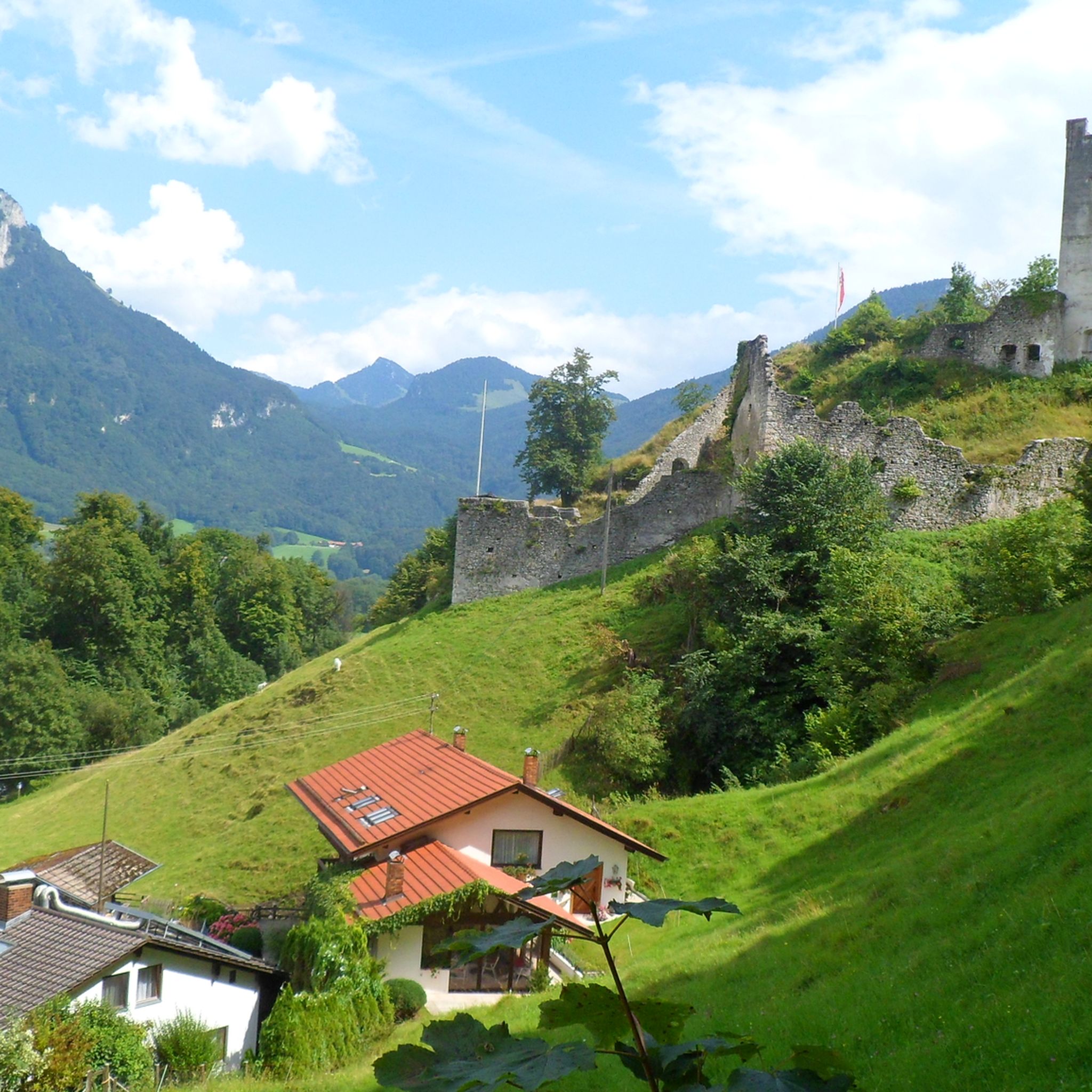
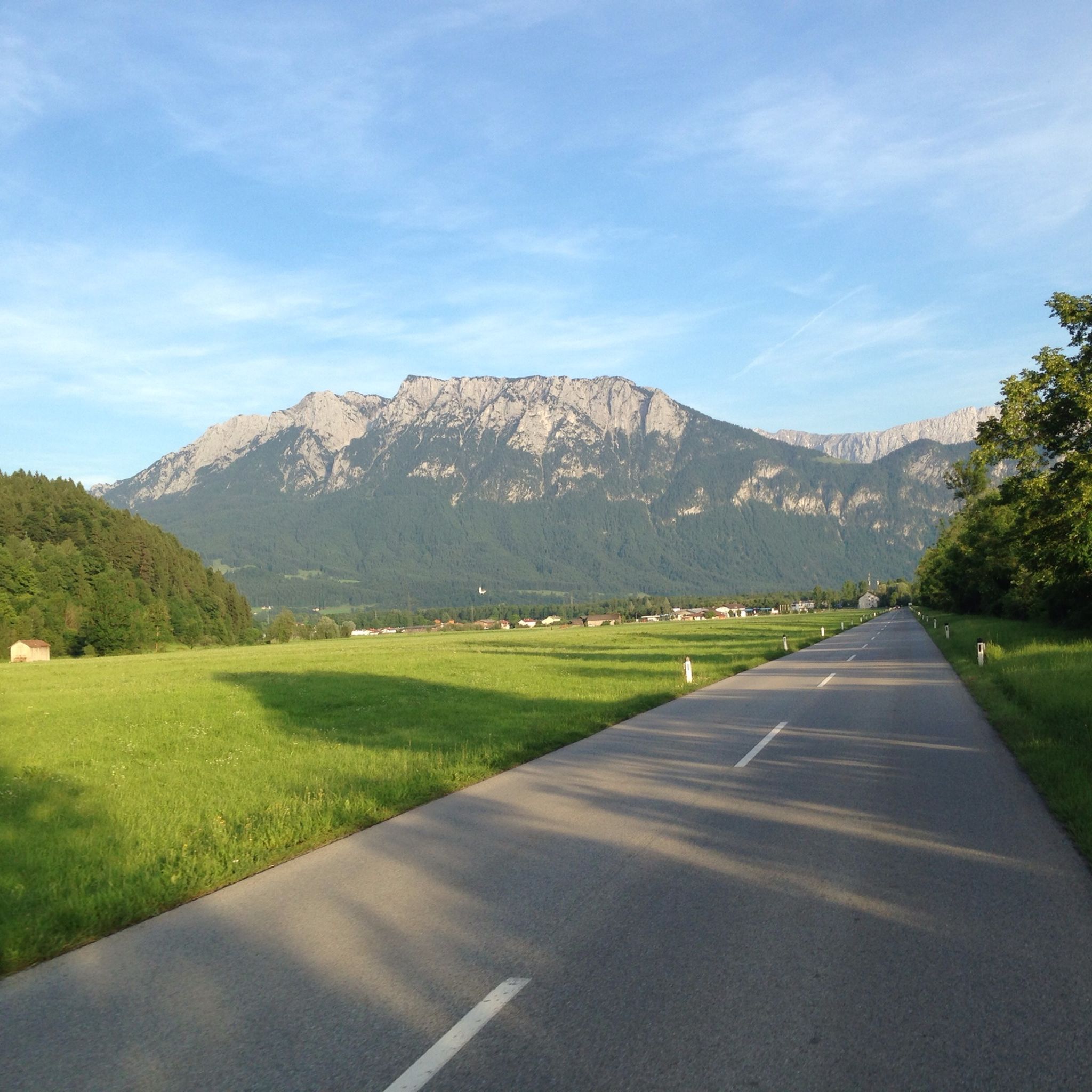
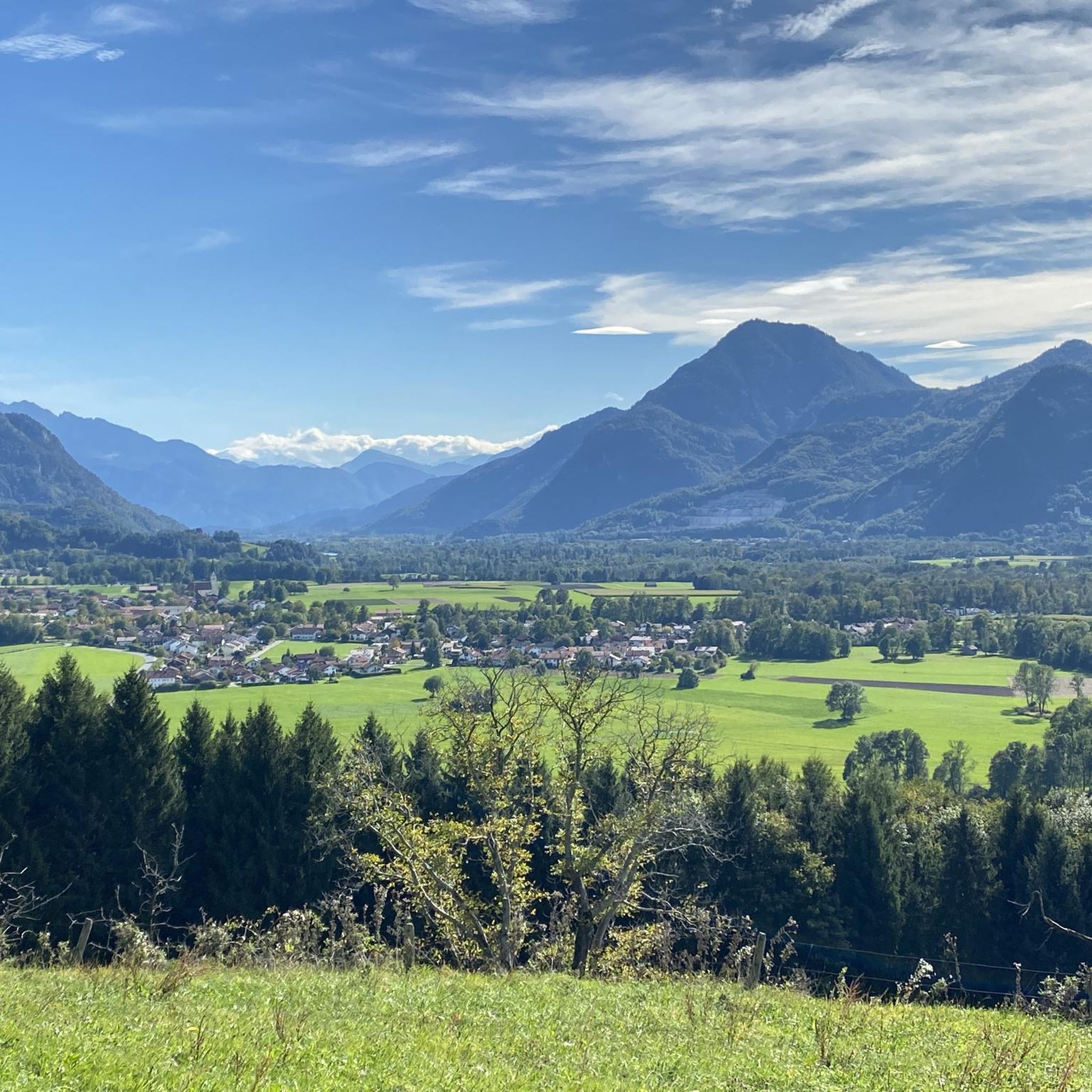

コミュニティからのヒント

The Schubräu-Alm is located at an altitude of 1,157 meters and offers you a nice place to stop off during your hike in the Mangfall Mountains. Here you can recharge your batteries in the cozy parlor or on the terrace with delicious food and refreshing drinks. You can also stay overnight here. The Alm is open from May to October. Mondays and Tuesdays are closed. You can find more information about opening times at https://www.schuhbräu-alm.de/.
4
1

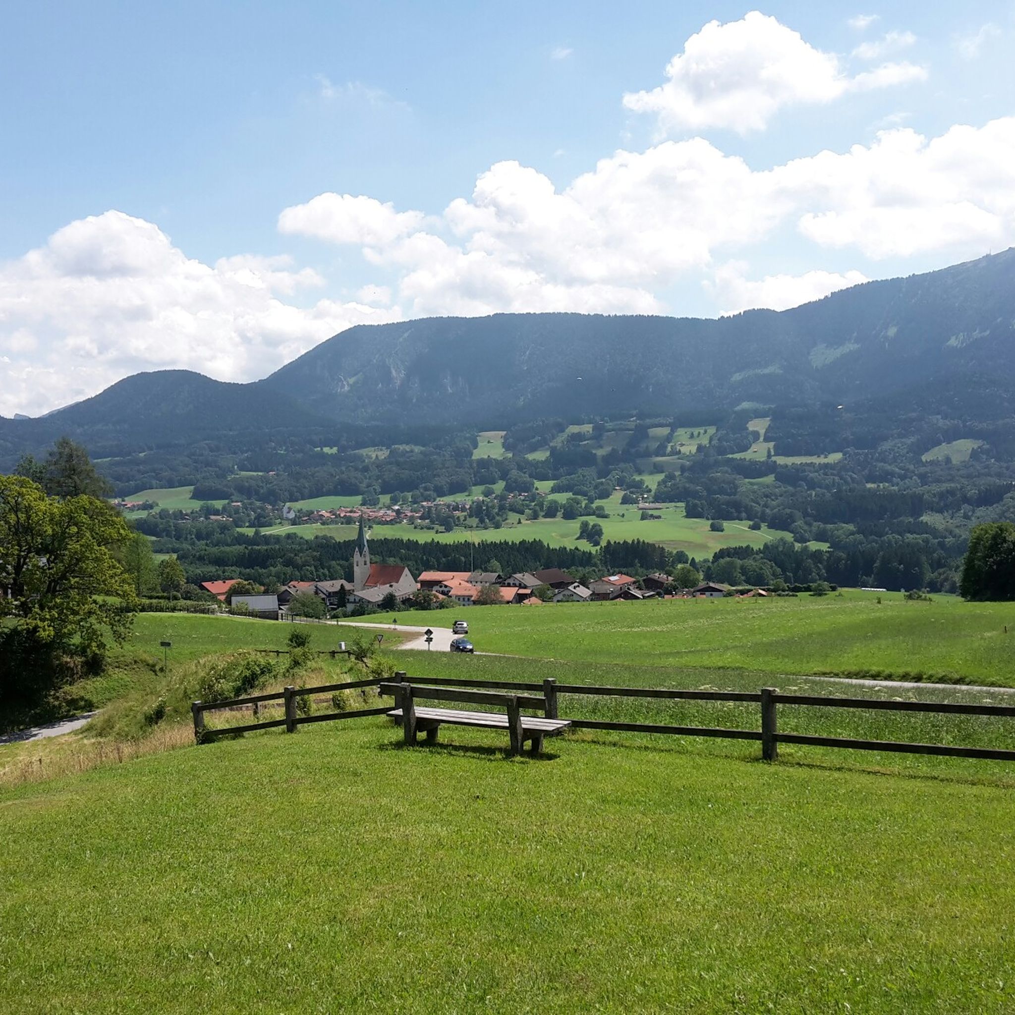
Easily accessible summit with a great panoramic view, but accordingly also often (very) well visited.
2
0

A great hut... with good food, good breakfast and a beautiful view (you can even see the Großglockner). We had 3 4-bed rooms with our group and were super satisfied. There was even a toilet and a sink in every room. Showers were extra.
1
0

Beautiful summit with a wonderful view over the foothills of the Alps!
5
0


...a specially fenced bicycle parking space has been set up right next to the no-biking sign in front of the alpine pasture - here your MTB will not be "inspected" or licked by the grazing animals...
3
0

Relaxed, less demanding hike with a beautiful view u.A. via Wendelstein/Breitenstein/Soinwand/Hochsalwand and into the valley. In the ascent to the summit in the forest, it can be Batzig.
3
1

The ghosts are arguing about the name "Farrenpoint". In Bavarian-Austrian, a "point" refers to a small estate or a fenced-in corridor. So far so good. It is more difficult with the word component "Farren". This could indicate either young bulls or ferns (duden.de/suchen/dudenonline/Farre). So we either have a bull pasture or a fern pasture. In any case, leaving aside the lengths of the forest road, it is an enjoyable climb from Bad Feilnbach to the Farrenpoint summit. The alpine landscape around the summit and Huberalm is beautiful and the views to the north and south are very rewarding. Next to the summit cross there is also a trigonometric point from the Institute for Geodesy of the University of the Federal Armed Forces in Munich. In addition to the exact latitude, longitude and altitude (47°44′36″N 12°02′07″E, 1274.30m), the distance to the north tower of the Munich Frauenkirche is given: 55.926 km.
8
2

komootモバイルアプリでインスピレーションを得よう


さらに探索
これらのガイドでさらに素晴らしい頂上を見てみましょうノイボイアーンでの:
