ルートプランナー機能アップデート
App
ログインまたはサインアップ
アプリを入手
ログインまたはサインアップ
ルート
Places to see
ドイツ
ザクセン
ミッテルザクセン

ホルツハウ

ホルツハウ周辺のアトラクション&必見スポット - トップ20


ホルツハウには必見のスポットがたくさんあります。ハイキング愛好家やサイクリング愛好家の方は、ぜひホルツハウを探索してこのエリアにある20
の隠れたスポットを訪れてみてください。このエリアの必見スポットを確認し、次の冒険に出かける計画を立てましょう。

最終更新日: 10月 11, 2026

カーレベルク山頂

ハイライト • 山頂

The Kahleberg near Altenberg is 905 meters high. From here you have an enchanting view of the Dresden Elbe Valley, the Elbe Sandstone Mountains and even the Bohemian low mountain range. Great!

翻訳者 Google •

役立つ情報 は

によるものです

ここでのハイキングを見るスマートフォンに送信
保存

カーレベルクの展望台

ハイライト • 展望台

At 905 meters, the Kahleberg is the third highest elevation in the Eastern Ore Mountains and at the same time the highest mountain in the Saxon part of this mountain …

翻訳者 Google •

役立つ情報 は

によるものです

保存

今すぐサインアップして、こんな場所を発見しよう

最高のシングルトラック、ピーク、その他のエキサイティングなアウトドアスポットのおすすめを受け取ろう。

無料新規登録

カーレベルク登山道

ハイライト • トレイル

The Kahleberg is a MUST in the Eastern Ore Mountains - there is now a snack truck at the summit again; we keep our fingers crossed for the tenant that …

翻訳者 Google •

役立つ情報 は

によるものです

保存

ゲオルゲンフェルダー高層湿原の木道

ハイライト (セグメント) • 自然記念物

A very interesting moor path. We have never seen a high moor like this before.
The circular route is about 1 kilometer long.

Additional Information:
naturbewahrung-osterzgebirge.de/georgenfelder-hochmoor#

OPENING HOURS
from Easter …

翻訳者 Google •

役立つ情報 は

によるものです

保存
Today it is used for drinking water supply and flood protection
was created in the Middle Ages for tin mining

翻訳者 Google •

役立つ情報 は

によるものです

保存

無料でサインアップして、さらに多くの観光スポットを発見しましょう ホルツハウでの。

無料新規登録

すでにアカウントをお持ちですか?

無料アカウントで今日から始めよう

次の冒険が待っています。

ログインまたは登録

ホルツハウ周辺で人気

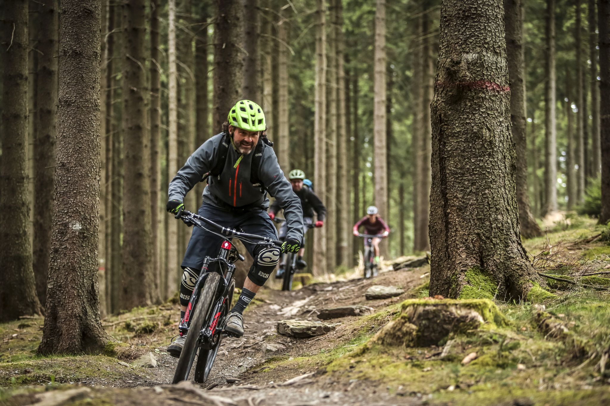
MTB adventures in Saxony

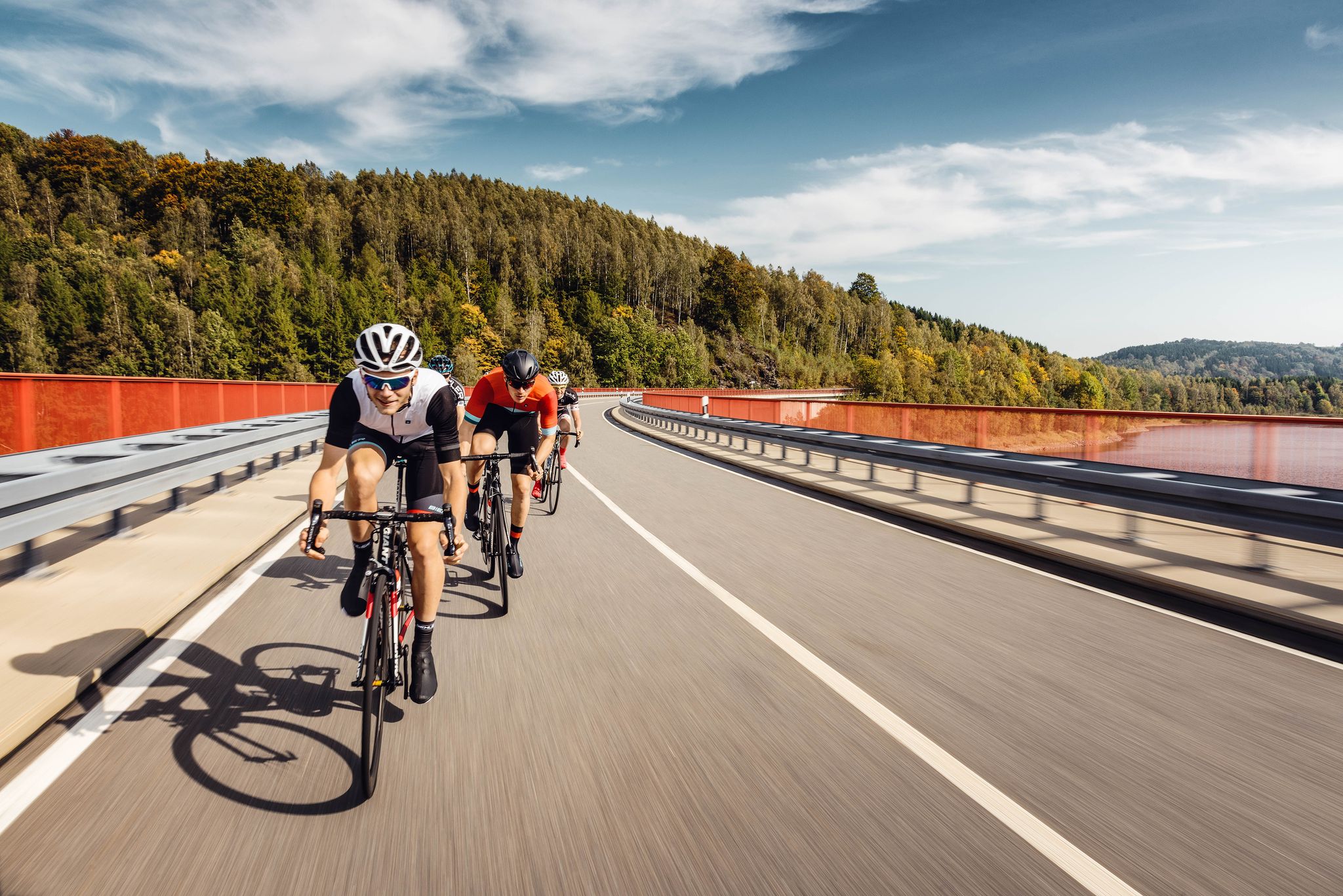
Pure road and gravel riding joy through Saxony

Flying high on two wheels – bike holidays in the Ore Mountains
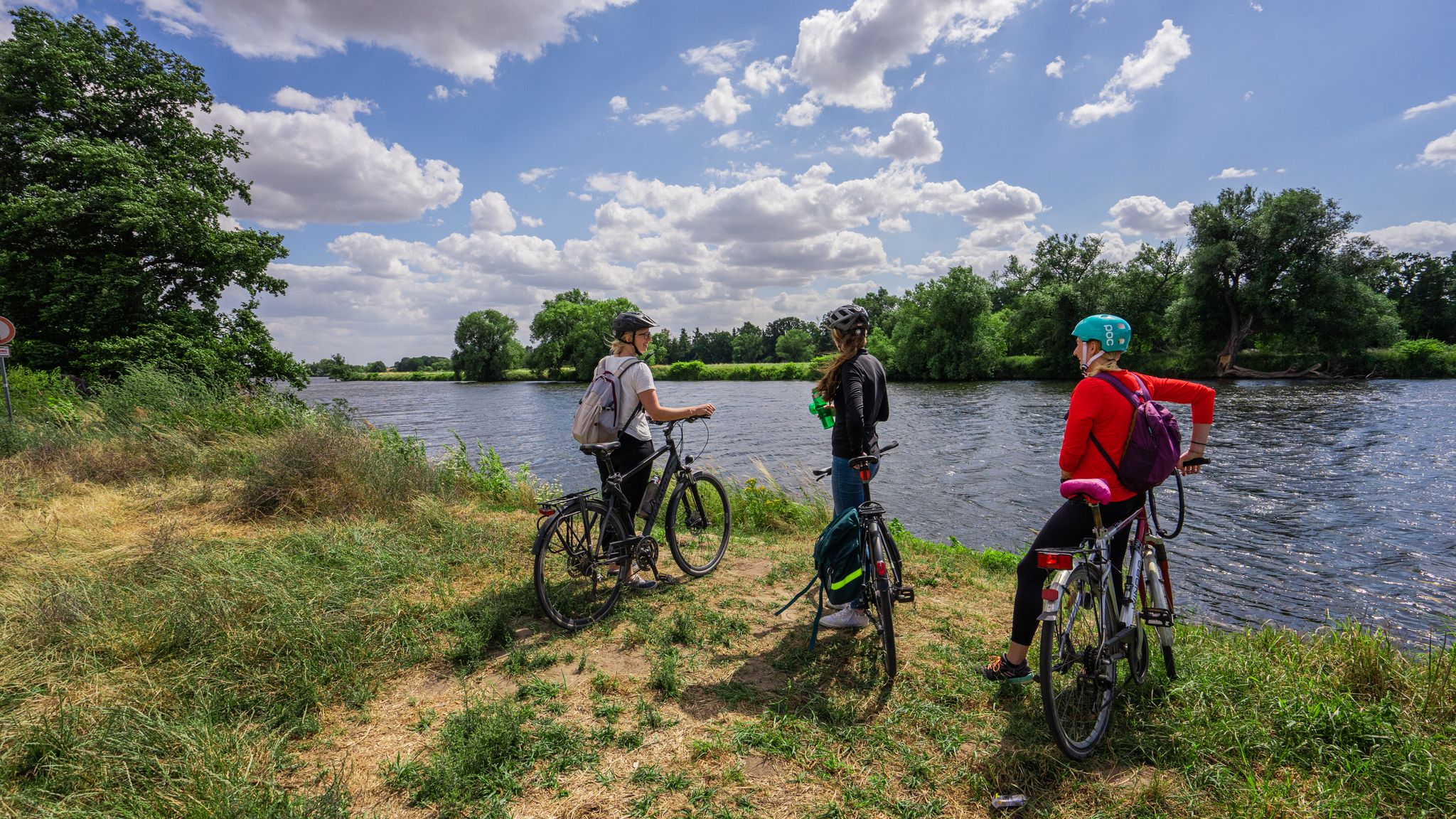
Mulde CYCLINGPath
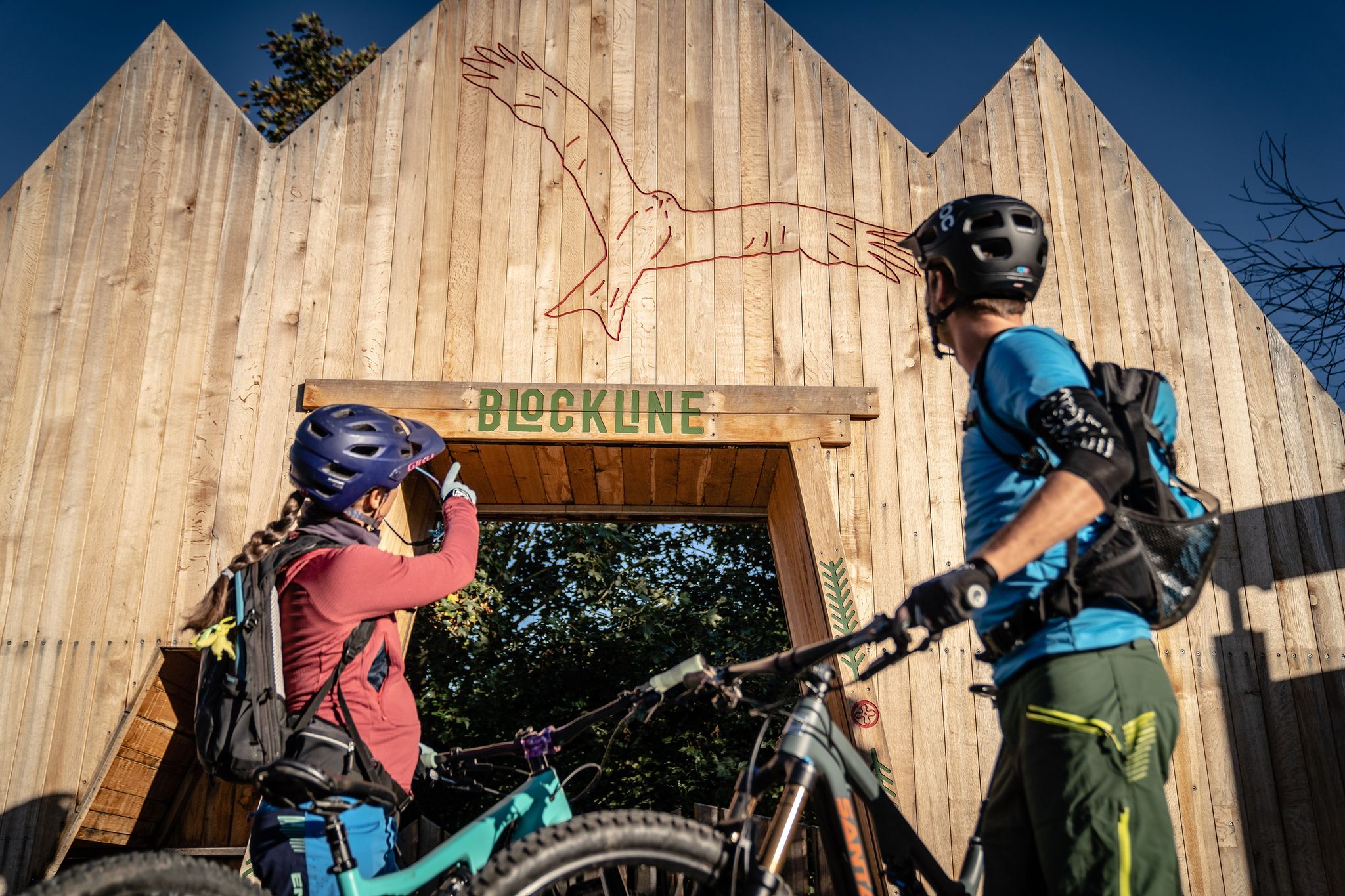
BLOCKLINE – Dein Bike-Abenteuer im Erzgebirge
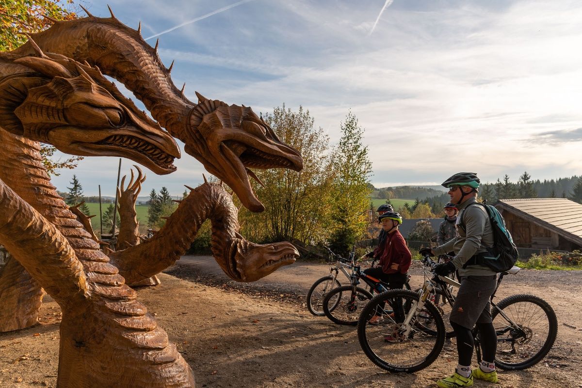
BLOCKLINE-Gesamtstrecke in 5 Tagen – Bike-Urlaub im Erzgebirge
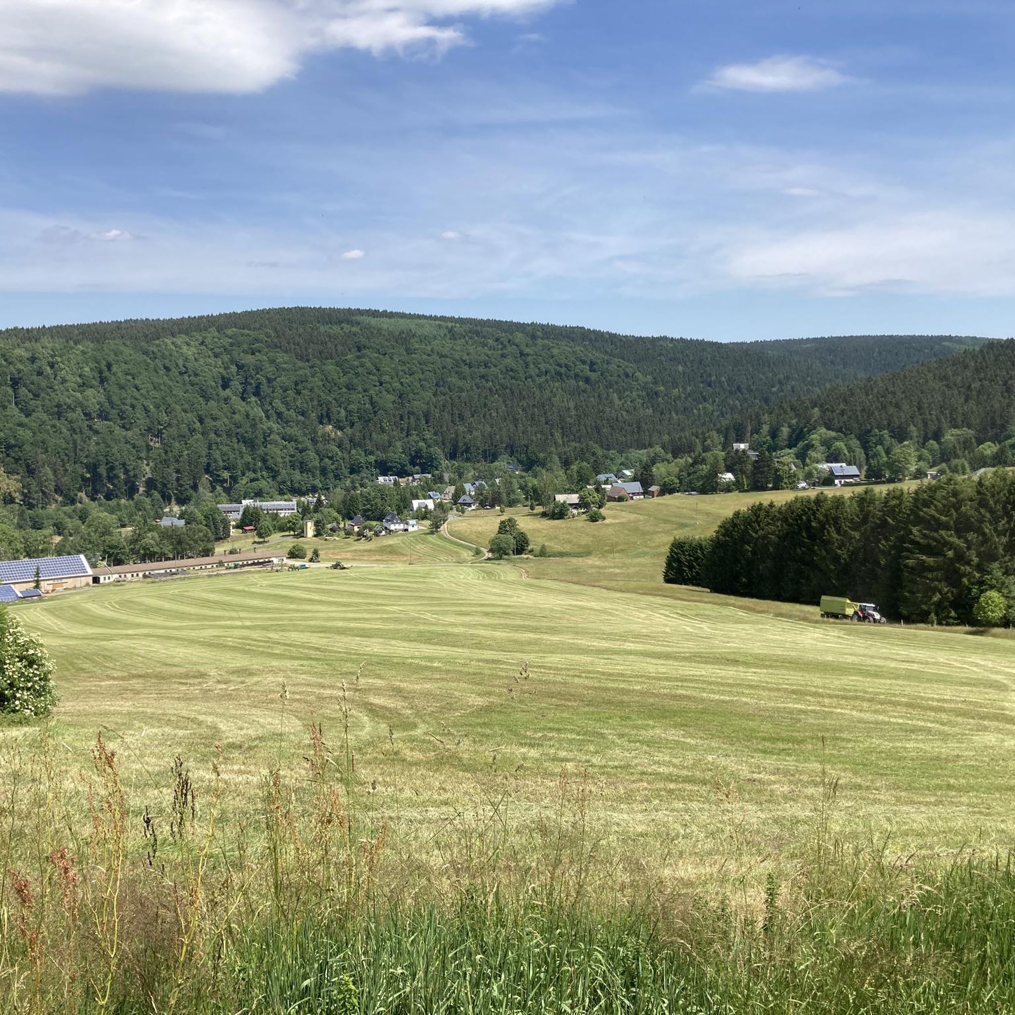
ホルツハウのMTBトレイル
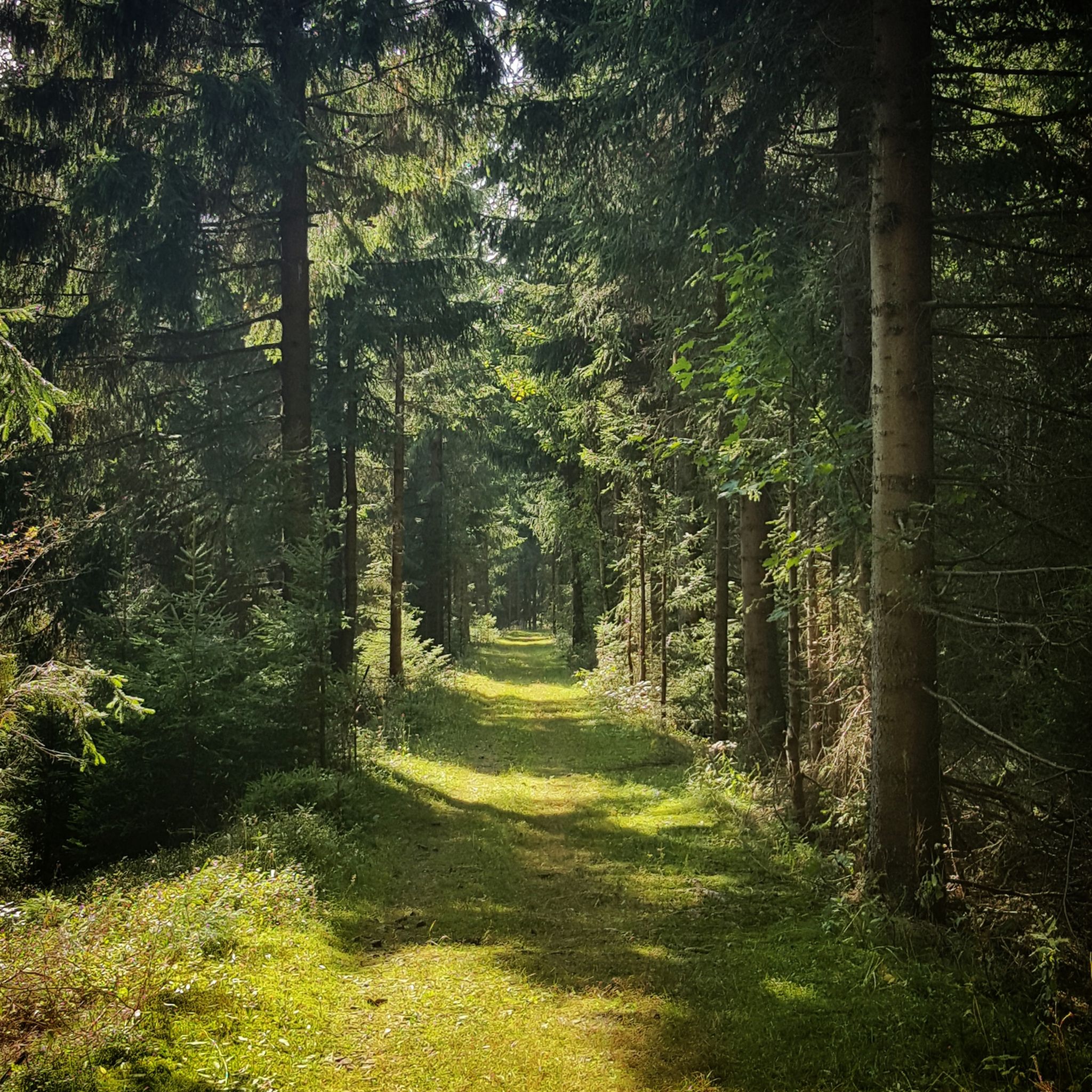
ホルツハウでのハイキング
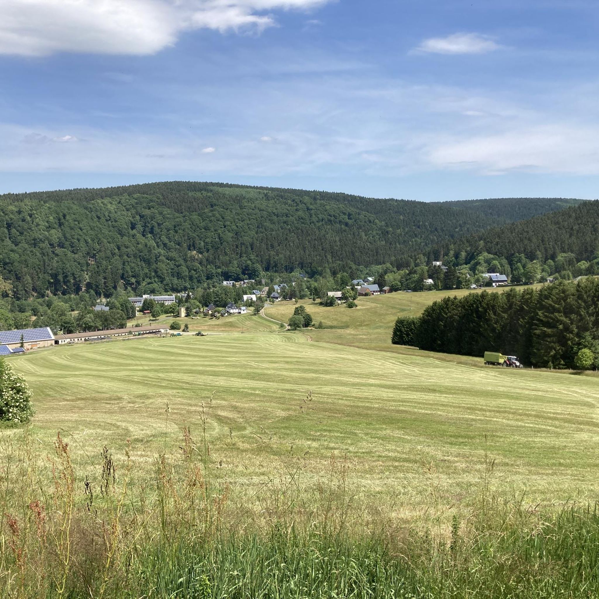
ホルツハウでのサイクリング
ホルツハウのロードバイクルート

ホルツハウでのの他の冒険

MTB adventures in Saxony

マウンテンバイクのコレクション によって

Sachsen Tourismus

コミュニティからのヒント

Sarina
11月 11, 2025, Kahleberg Summit

From Kahleberg, you have a great view of the Galgenteiche ponds. There's also a snack bar and some seating. The last stretch to Kahleberg is very rocky.

Google翻訳による翻訳•

1

0

According to the map, the actual summit of Kahleberg is on the hiking trail, surrounded by large fir trees. You can't see anything. You have to leave the trail and head towards the slope, where you'll have a beautiful view of the wide open countryside.

Google翻訳による翻訳•

1

0

Anna
7月 22, 2024, Kahleberg Summit

The most beautiful highlight on the first 60km of the Kammweg 🏞️

Google翻訳による翻訳•

1

0

Beautiful hiking trail up or down to Kahleberg 👌 Beautiful forest, simply magical.

Google翻訳による翻訳•

0

0

Super pleasant paths also for older visitors

Google翻訳による翻訳•

0

0

A great view and a good snack.

Google翻訳による翻訳•

1

1

Domino
6月 30, 2023, Kahleberg Summit

This tour has beautiful views on the Bohemian side.

Google翻訳による翻訳•

1

0

Great view to the TV tower in Dresden and delicious snacks

Google翻訳による翻訳•

2

0

ホルツハウでのの人気ルート

ホルツハウのMTBトレイル

ホルツハウでのの人気観光スポット

Lakes

Store rating

komootモバイルアプリでインスピレーションを得よう

無料のkomootアカウントがあれば、無限のアウトドアコースを簡単に見つけてカスタマイズし、ナビで案内できます。

または

今すぐkomootに参加しよう
Store rating

さらに探索

まだ探しているハイライトが見つかりませんか?他の地域のトップアトラクションのガイドを見てみましょう:

Rechenberg-Bienenmühleエッペンドルフペニヒケーニヒスハイン=ヴィーデラウタウラルンツェナウブルクシュテットミューラウアルトミットヴァイダクラウスニッツニーダーヴィーザミットヴァイダサイダノイウハウゼン/エルツゲビルジグロースハルトマンスドルフヴェクセルブルクフラウエンシュタインボブリッチュヒルバースドルフブラント・エルビスドルフフレーアロッホリッツドルフケムニッツLichtenberg / Erzgebeiヴァイセンボルン/エルツゲビルジハルスブリュケエアラウロッサウエーダーアンラインスベルクライスニヒゲリングスヴァルデゼーリッツハルタアアウグストゥスブルクマルダ/サムツェットリッツクリープシュタインロスヴァインシュトリーギスタールウォルドハイムグロースヴァイツシェンデーベルンオーバーシェーナフライベルクグロースシルマオストラウHarthRochlitzer BergwaldZschaitz-OttewigFreiberger StadtwaldFischerwaldTöpferwaldRingelwaldツェルヴァルトOederaner WaldダムラウシェンバッハKirstenmühle-SchanzenbachtalRossauer GroßwaldStruthwaldAschbachtalEichberg-Wald

近くのアドベンチャーガイド

Töpferwaldでやるべきこと

background

新しいピークを征服する準備をしよう

無料でサインアップ
探検する
ルートルートプランナー機能バウチャーを利用ハイキングMTBトレイルロードバイクルートバイクパッキングサイトマップ
アプリをダウンロード
SNSでフォローする

© komoot GmbH

プライバシーポリシー