ヒルシュアウの絶景の山頂・トップ9
絶景を目指して登るのであれ、達成感のために登るのであれ、山頂を訪れることで、ヒルシュアウの美しい自然をもっと満喫することができます。9
もの選択肢の中から、制覇する山頂を決めるのは簡単ではありません。スムーズに次の冒険で目指す山頂を選べるように、ヒルシュアウの素晴らしい山頂をこのガイドにまとめました。
最終更新日: 10月 9, 2026
ヴィーナスベルク–ヴォルフゼッカー–ベーゼンタール/ハルデ自然保護区
ハイライト • 自然記念物
Strictly speaking, …
翻訳者 Google •
役立つ情報 は

ヴィーナス山
ハイライト • 自然
翻訳者 Google •
役立つ情報 は

今すぐサインアップして、こんな場所を発見しよう
最高のシングルトラック、ピーク、その他のエキサイティングなアウトドアスポットのおすすめを受け取ろう。
ホーエンヴァルトの最高地点(544m)
ハイライト • 山頂
翻訳者 Google •
役立つ情報 は

Geißberg
ハイライト • 山頂
The Gäurandweg trail also runs through here.
Several marked hiking trails, such as the Schneckenweg (Snail Trail) or Veigelesweg (Veigeles Trail), also pass through here.
翻訳者 Google •
役立つ情報 は

Höhnle 展望台
ハイライト • 展望台
翻訳者 Google •
役立つ情報 は
無料でサインアップして、さらに多くの山を発見しましょう ヒルシュアウでの。
すでにアカウントをお持ちですか?
無料アカウントで今日から始めよう
次の冒険が待っています。
ヒルシュアウ周辺で人気
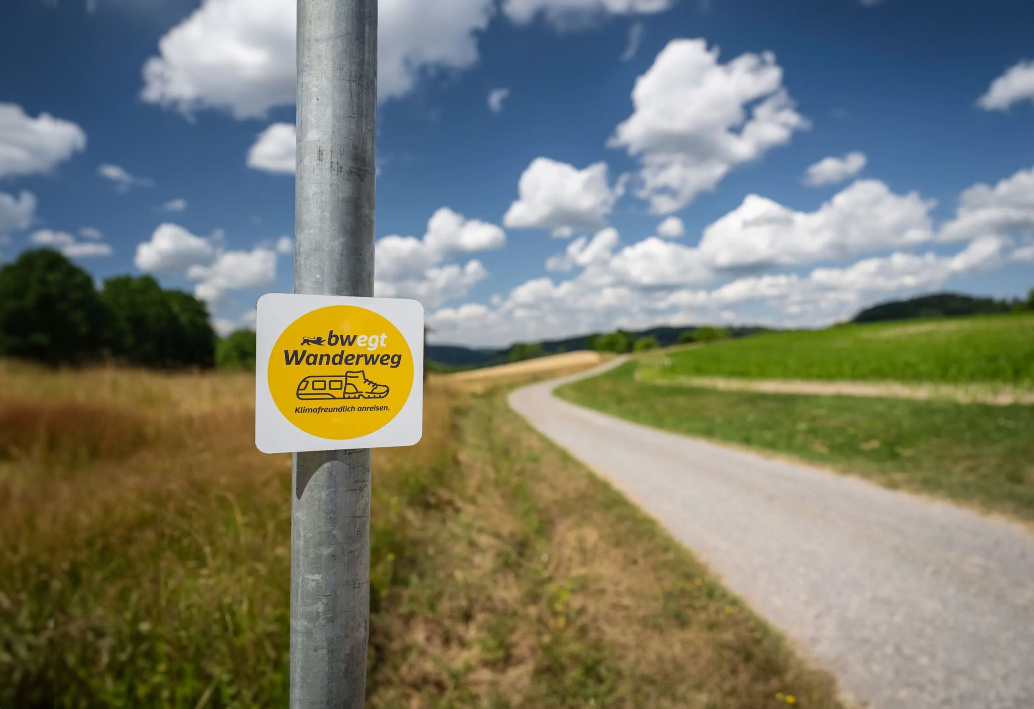
bwegt-Wanderwege – travel in a flexible way, experience more
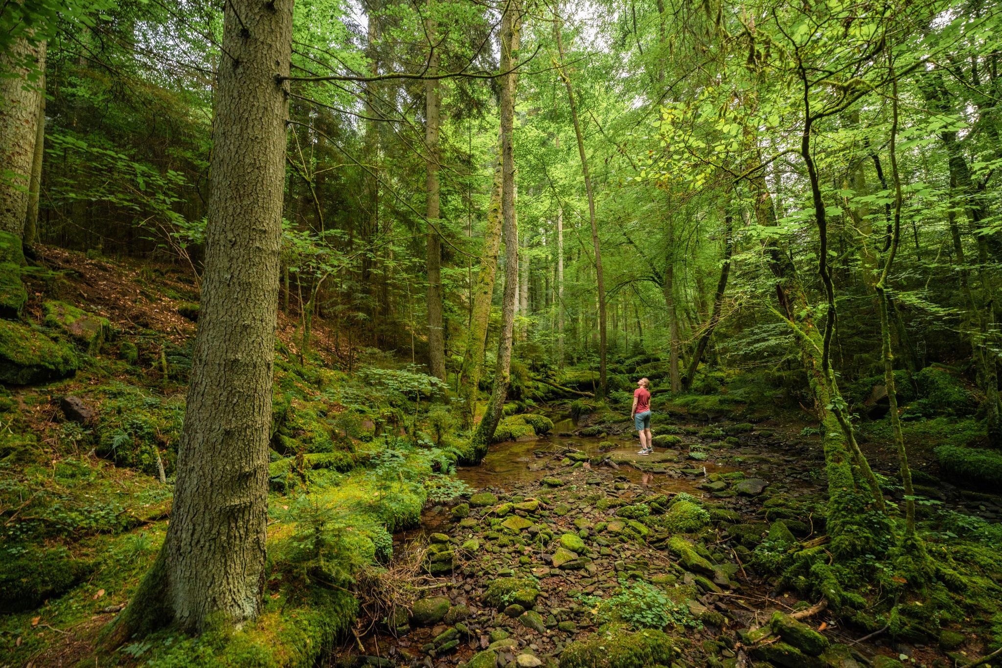
Superb adventures – the best hiking Tours in the Northern Black Forest
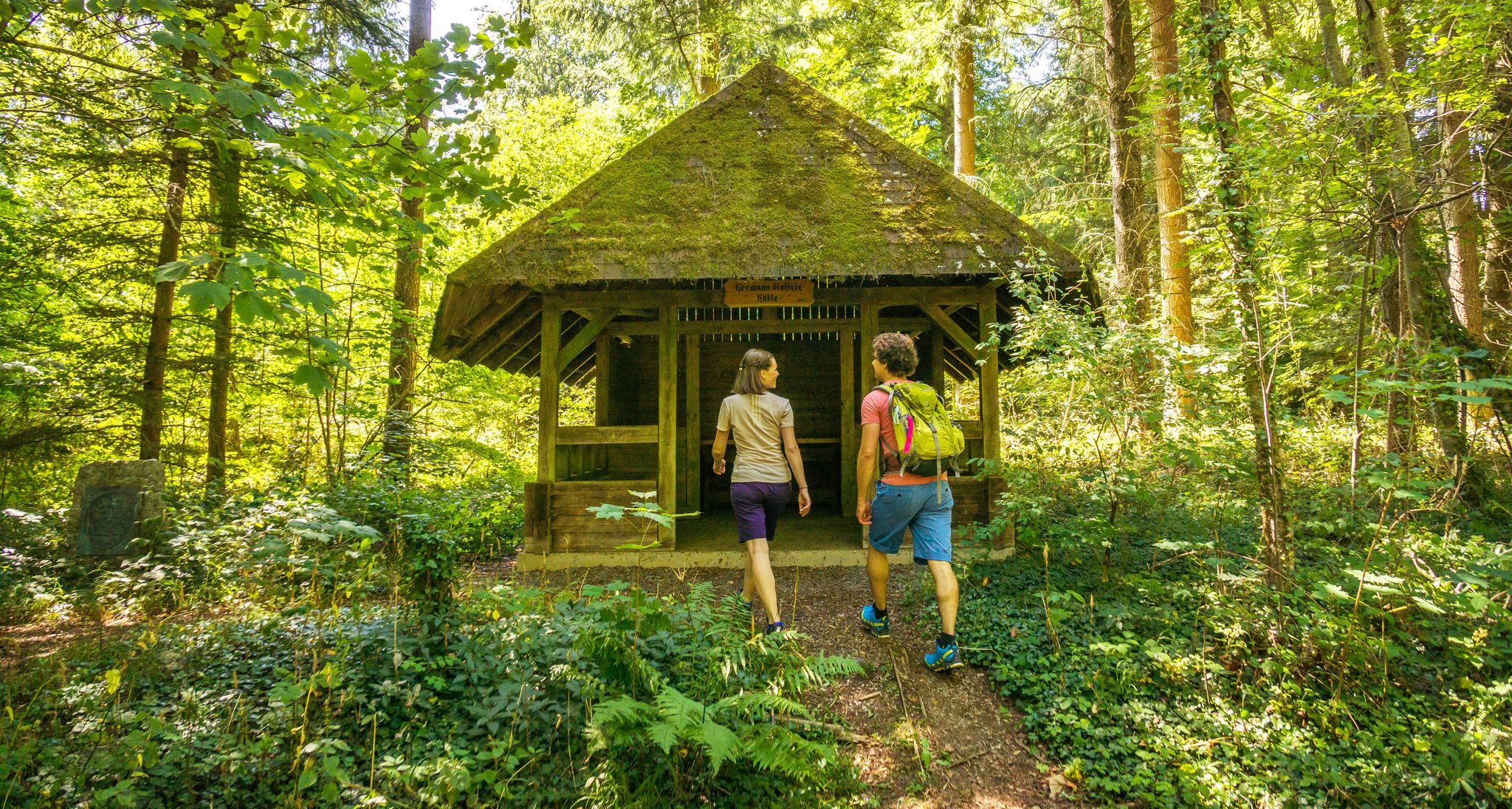
A green adventure – sustainable hiking in the Northern Black Forest
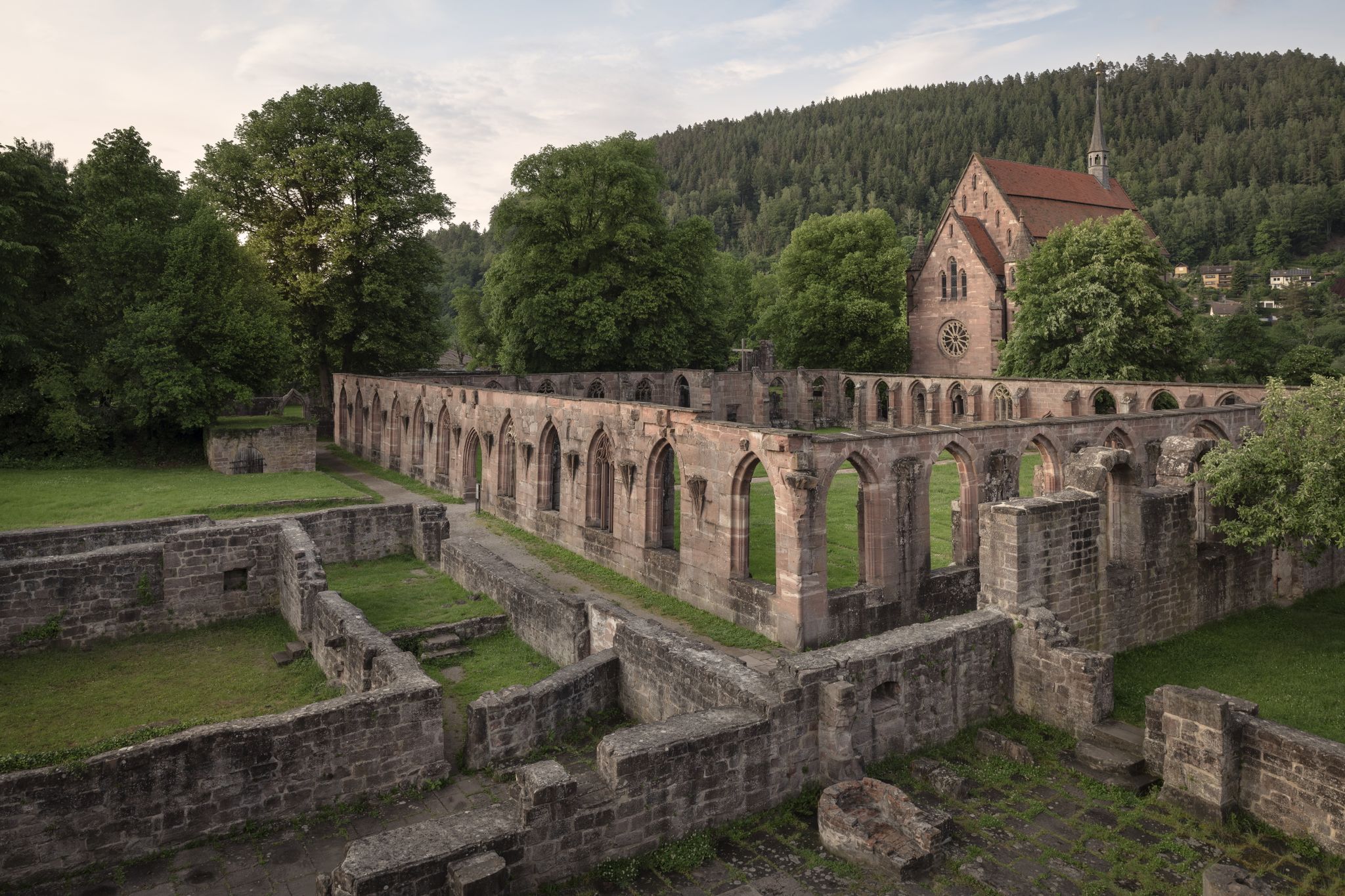
北部シュヴァルツヴァルトの修道院ルートをサイクリング
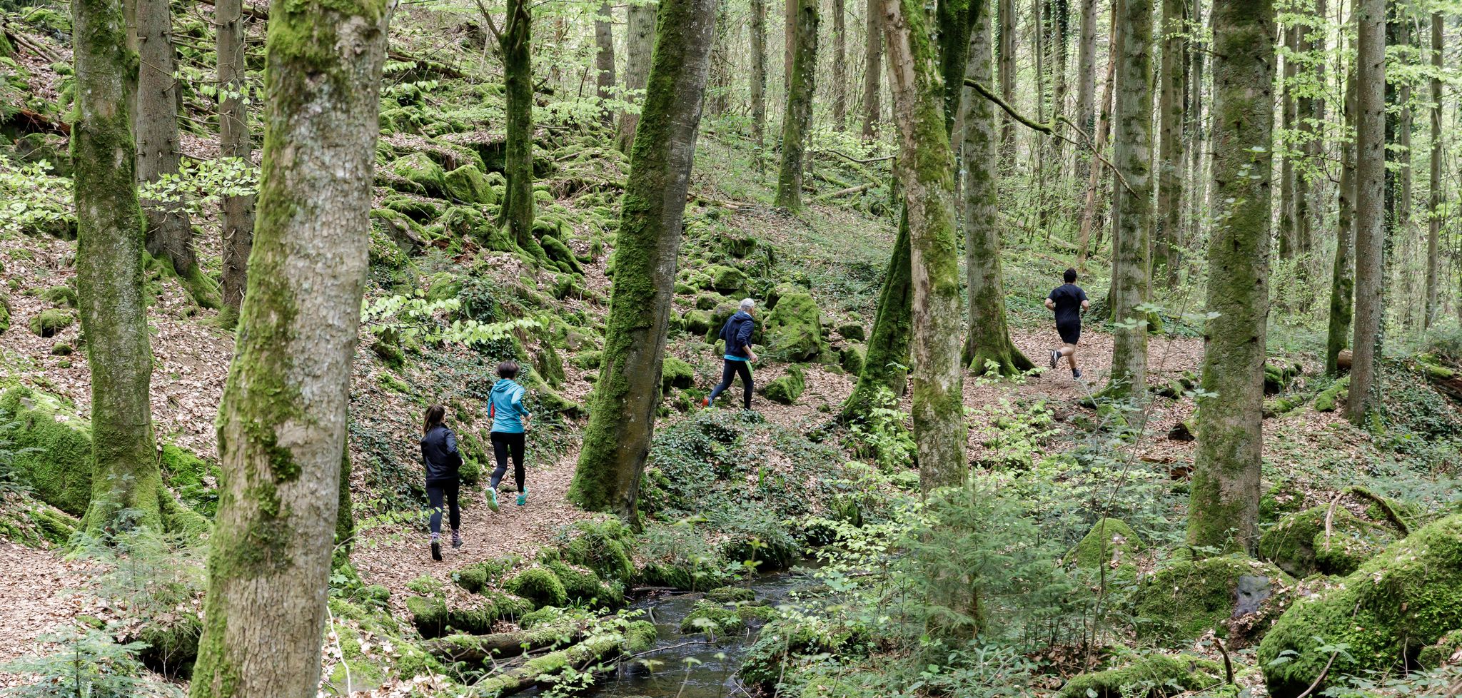
Trailrunning in Calw – Die perfekte Auszeit in der Natur
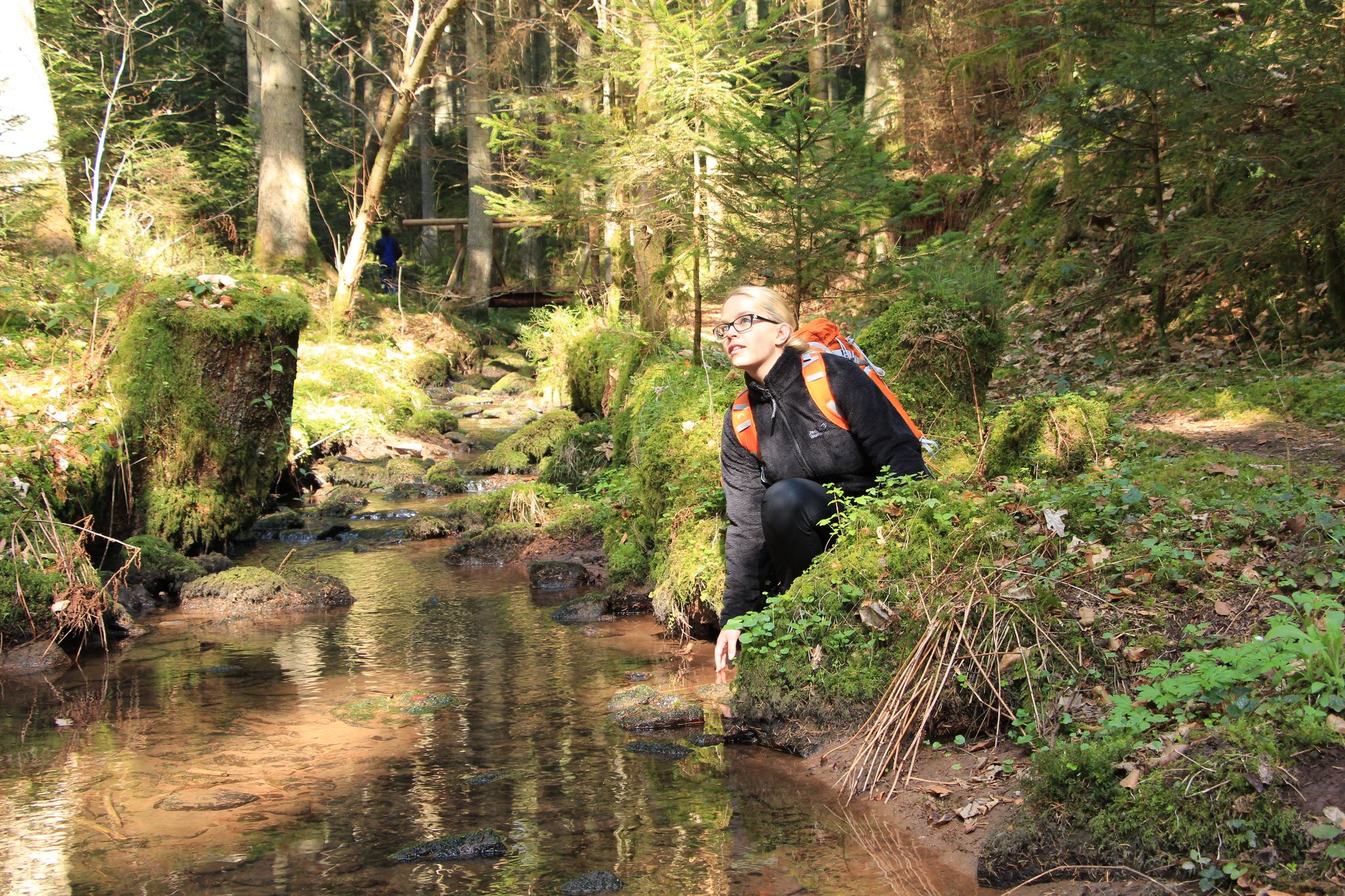
TOP Wandertouren in und um Calw - Wandern in der Königsklasse!
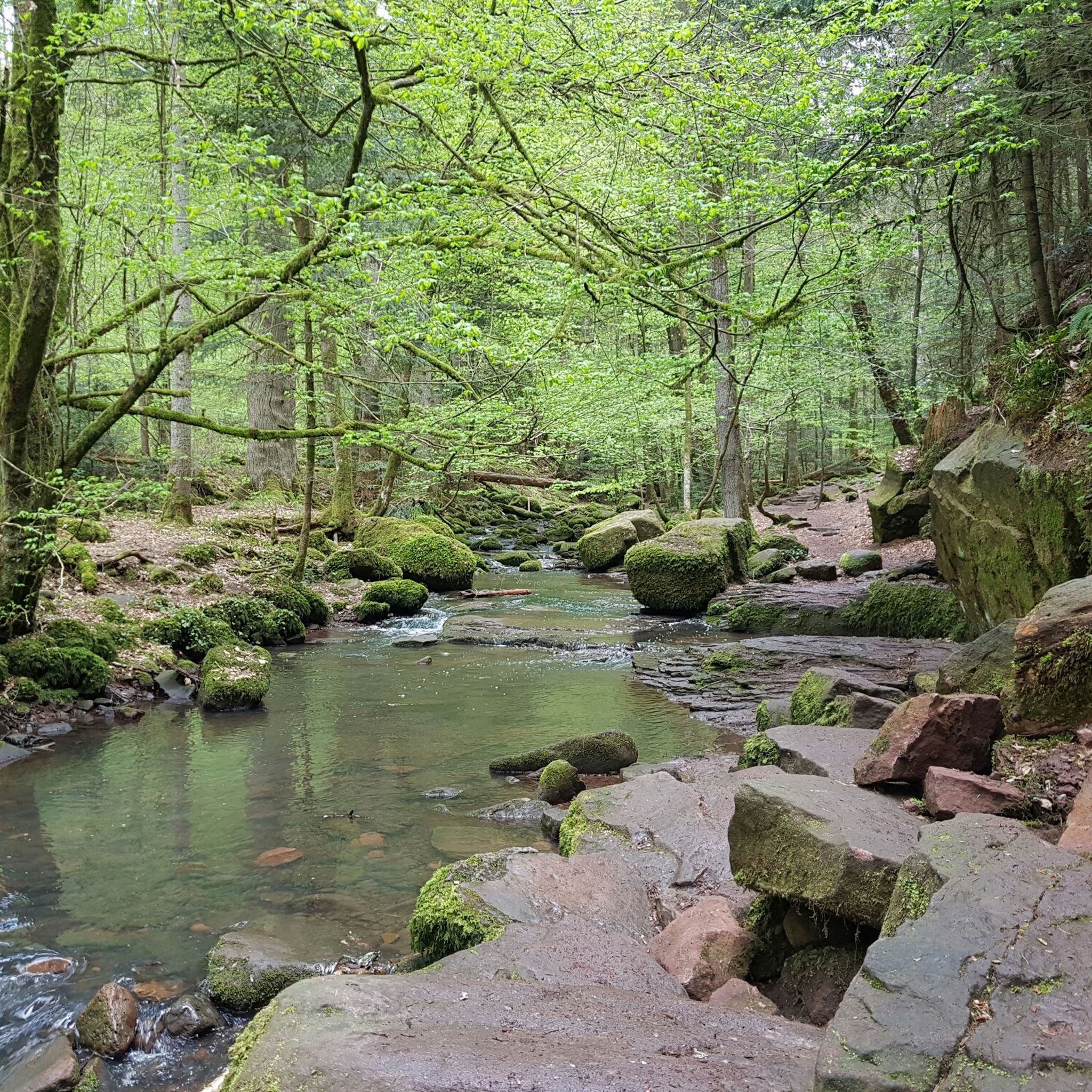
ヒルシュアウでのハイキング
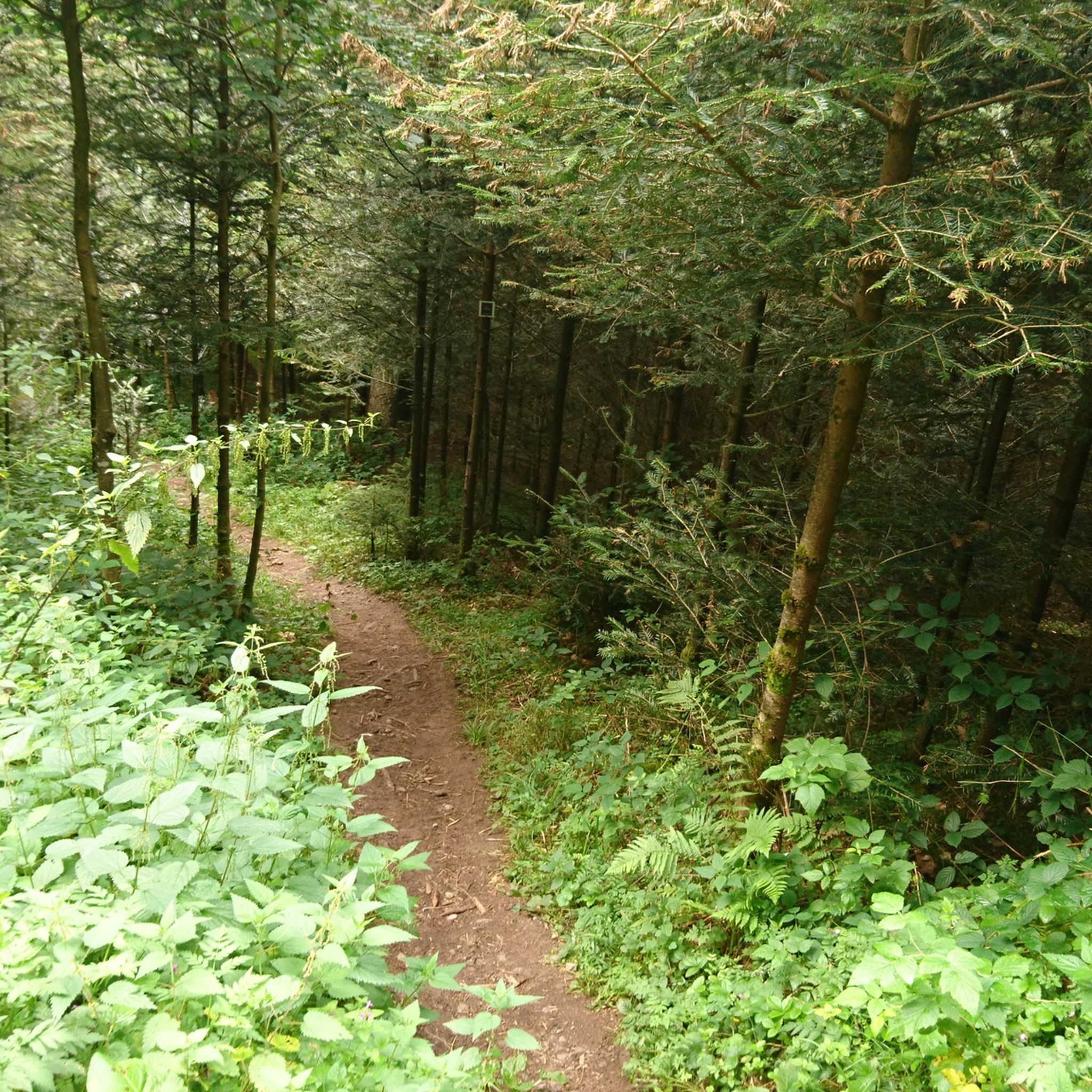
ヒルシュアウのMTBトレイル
ヒルシュアウでののグラベルライド
ヒルシュアウでのサイクリング
ヒルシュアウでのの他の冒険


コミュニティからのヒント


A beautiful nature reserve for hikers and cyclists. The Gäurandweg trail also runs through here. Several marked hiking trails, such as the Schneckenweg (Snail Trail) or Veigelesweg (Veigeles Trail), also pass through here.
9
0

Hörnle and Geißberg is a nature reserve designated by decree of the Karlsruhe Regional Council on December 30, 1993, with the number 2.176, and a landscape conservation area of the same name with the number 2.35.051. Source: https://de.wikipedia.org/wiki/H%C3%B6rnle_und_Gei%C3%9Fberg To reduce the whole thing to one point is...
0
0


From the Höhnle, at 572 meters the highest elevation in Dachtel, you can enjoy a magnificent view over the Heckengäu region. The view extends over Deufringen and Aidlingen to the Venusberg, as well as to Sindelfingen and the Glemswald forest.
5
0
Barbecue area with seating and shelter, which even has 2 trash cans!
2
0
The "Höhnle" is the highest point in the municipality of Dachtel - therefore you have a beautiful view from here, especially towards the north-west.
0
0
We're particularly fond of the juniper heath. Even the best sauerkraut doesn't taste good without juniper berries. Here, the berries are plentiful.
13
2

komootモバイルアプリでインスピレーションを得よう


さらに探索
これらのガイドでさらに素晴らしい頂上を見てみましょうヒルシュアウでの:
