エメンディンゲン周辺のアトラクション&必見スポット - トップ20
エメンディンゲンには必見のスポットがたくさんあります。ハイキング愛好家やサイクリング愛好家の方は、ぜひエメンディンゲンを探索してこのエリアにある20
の隠れたスポットを訪れてみてください。このエリアの必見スポットを確認し、次の冒険に出かける計画を立てましょう。
最終更新日: 10月 10, 2026
ツヴェリバッハの滝
ハイライト • 滝
翻訳者 Google •
役立つ情報 は

マルクト広場エンディンゲン
ハイライト • 歴史的な場所
翻訳を表示中
役立つ情報 は

今すぐサインアップして、こんな場所を発見しよう
最高のシングルトラック、ピーク、その他のエキサイティングなアウトドアスポットのおすすめを受け取ろう。
カンデル山頂と展望台
ハイライト • 山頂
翻訳を表示中
役立つ情報 は

ケーニヒシャッファウザー門
ハイライト • 記念碑
翻訳者 Google •
役立つ情報 は

ヒューネルゼーデル展望塔とグリルエリア
ハイライト • 展望台
翻訳者 Google •
役立つ情報 は

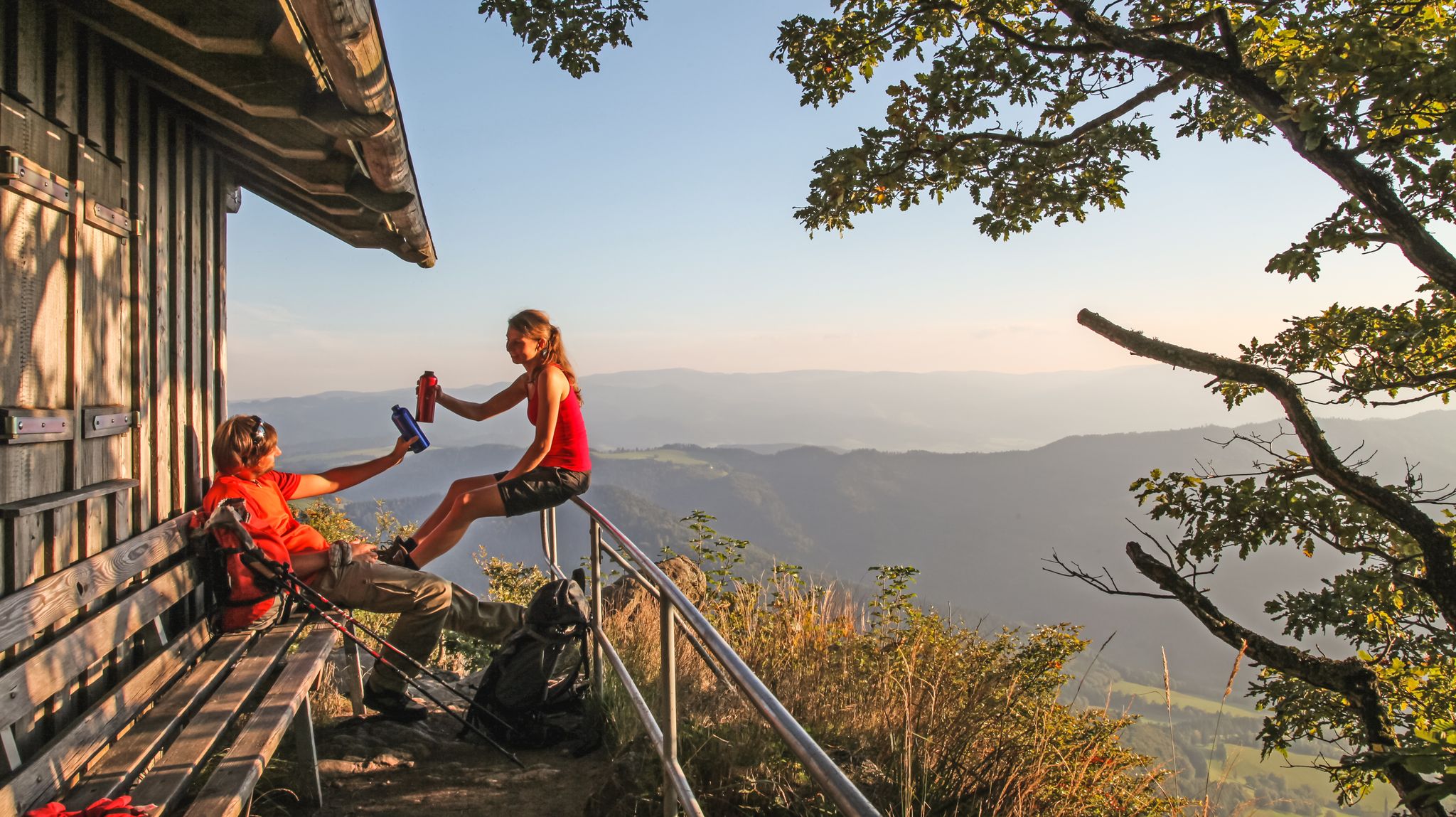
素晴らしい景色を望むトマシュヒュッテ
ハイライト • 展望台
翻訳を表示中
役立つ情報 は

大カンデル岩
ハイライト • 登山
アクセスは「Kandeltour」と下からのDamenpfad、または上からのDamenpfadです。
翻訳を表示中
役立つ情報 は
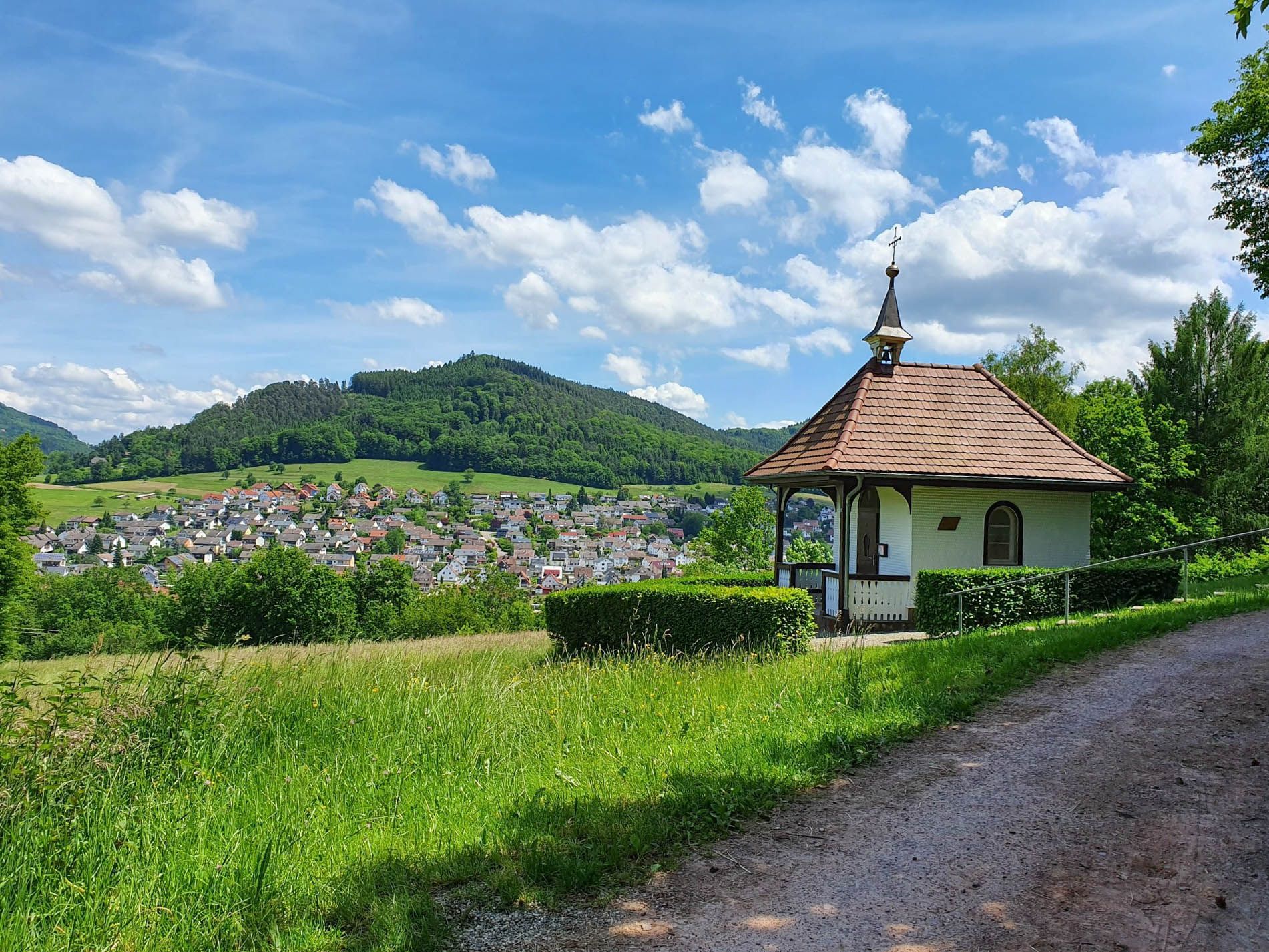
カタリーネンベルクのカタリーネン礼拝堂
ハイライト • 宗教的な場所
翻訳者 Google •
役立つ情報 は

ブルンネンホーフ休憩所&飲料販売所
ハイライト • 休憩所
翻訳者 Google •
役立つ情報 は

ヒルシュバッハの滝
ハイライト • 滝
翻訳者 Google •
役立つ情報 は

無料でサインアップして、さらに多くの観光スポットを発見しましょう エメンディンゲンでの。
すでにアカウントをお持ちですか?
無料アカウントで今日から始めよう
次の冒険が待っています。
エメンディンゲン周辺で人気
水難のトルックルドル計終 - Rheinauenweg 関準の見達
森と草原の間をハイキング - ロットバイル-ラール ブラックフォレストトレイル
フォルドンの間がないませんにルティール同から取得されませんなール出る
5 STAGES HIKING THE ZweiTälerSteig – DISCOVER Germany’s Black Forest
ブラックフォレストの滝、湖、川 – ワッサーヴェルテンシュタイグをハイキング
西よりも西の方角 – カンデル高原道の5エタップ
Village getaways in the Black Forest – small towns, great hiking
ZweiTälerSteig and other cool hikes in Germany
Two valleys, endless views – hiking in the ZweiTälerLand
Hiking, ponds & waterfalls – superb Black Forest swimming spots
エメンディンゲンでのの他の冒険


コミュニティからのヒント

The Hünersedel is a mountain in the central Black Forest with a height of 744.3 m above sea level. Its name means "giant's seat". In a document from the year 926, the mountain is called "Stoufinberc". It lies in the border area of the two municipalities of Schuttertal and Freiamt. The summit of the mountain is at the northern end of the municipality of Freiamt. The river Schutter rises at the Hünersedel. The Hünersedel was the highest mountain in the old district of Lahr. From the tower you have a gigantic view.
4
0

クライマーに人気のエリアで、ほとんどの難易度のルートが多数あります。岩質は優れています。ルートは主に十分に整備されています。下降は2 x 20 mまたは1 x 30 mで行います。「対向車」がある場合は、配慮して下降してください。 大きなカンデルフェルゼンへは、カンデルの頂上からアクセスできます。そこには十分な駐車場があります。また、St. Peterからカンデルまでバスも運行しています。頂上からは、約20分の徒歩で、Damenweg(青いひし形)を通ってクライミングエリアに到着します。良い靴を履いてきてください。
7
0

a very nice lookout tower. Very suitable for taking a break, with a barbecue area.
5
0

Beautiful little wine town on the Kaiserstuhl... ideal starting point for discovery tours
8
1

Since March 2022, the kiosk has been run by a new team. Opening times are from March to July and September to the end of November on Saturdays, Sundays and public holidays from 11:00 a.m. to 5:00 p.m. Large selection of drinks, coffee, tea and small but very tasty snacks.
9
0

Endingen was first mentioned in a document in 862. For several centuries, it belonged to the Lords of Endingen, who had their seat at the nearby Koliburg Castle, until it passed to the Lords of Üsenberg, who granted Endingen town rights between 1285 and 1286. After the Üsenbergs died out in 1379, the Küchlins were enfeoffed with it in 1425. The town came into Habsburg possession and was assigned to Vorderösterreich, briefly enjoying the status of a free imperial city at the beginning of the 15th century. In 1751, one of the last witch trials in Europe took place in Endingen: on April 24, Anna Schnidenwind was burned at the stake. After the Peace of Pressburg in 1805, Endingen, along with the entire Breisgau region, which had previously been Vorderösterreich, became part of Baden. The citizens of Endingen are very tradition-conscious. Old customs have survived to this day. For centuries, on Christmas Eve, during the midnight chimes of the church bells in Endingen, running water has been drawn from the numerous fountains and drunk as "Heiliwog." The saying goes: "Heiliwog – God's gift, good luck in the house, bad luck out!" Source: Wikipedia
7
1
The Königschaffhauser Tor is the only remaining city gate of Endingen am Kaiserstuhl and was first mentioned in 1319. The current appearance of the city gate, popularly known as "Torli", goes back to the expansion of 1581. For a long time, the tower housed a city jail, today the other rooms are used by the Endingen fools' guild as a guild room. A small fools' guild museum was set up in some of the former detention cells, in which old Endinger carnival clothes, carnival utensils, pictures and programs as well as the Endinger carnival figures can be seen. Source: https://www.alemannische-seiten.de/deutschland/endingen_koenigschaffhauser-tor.php
2
0

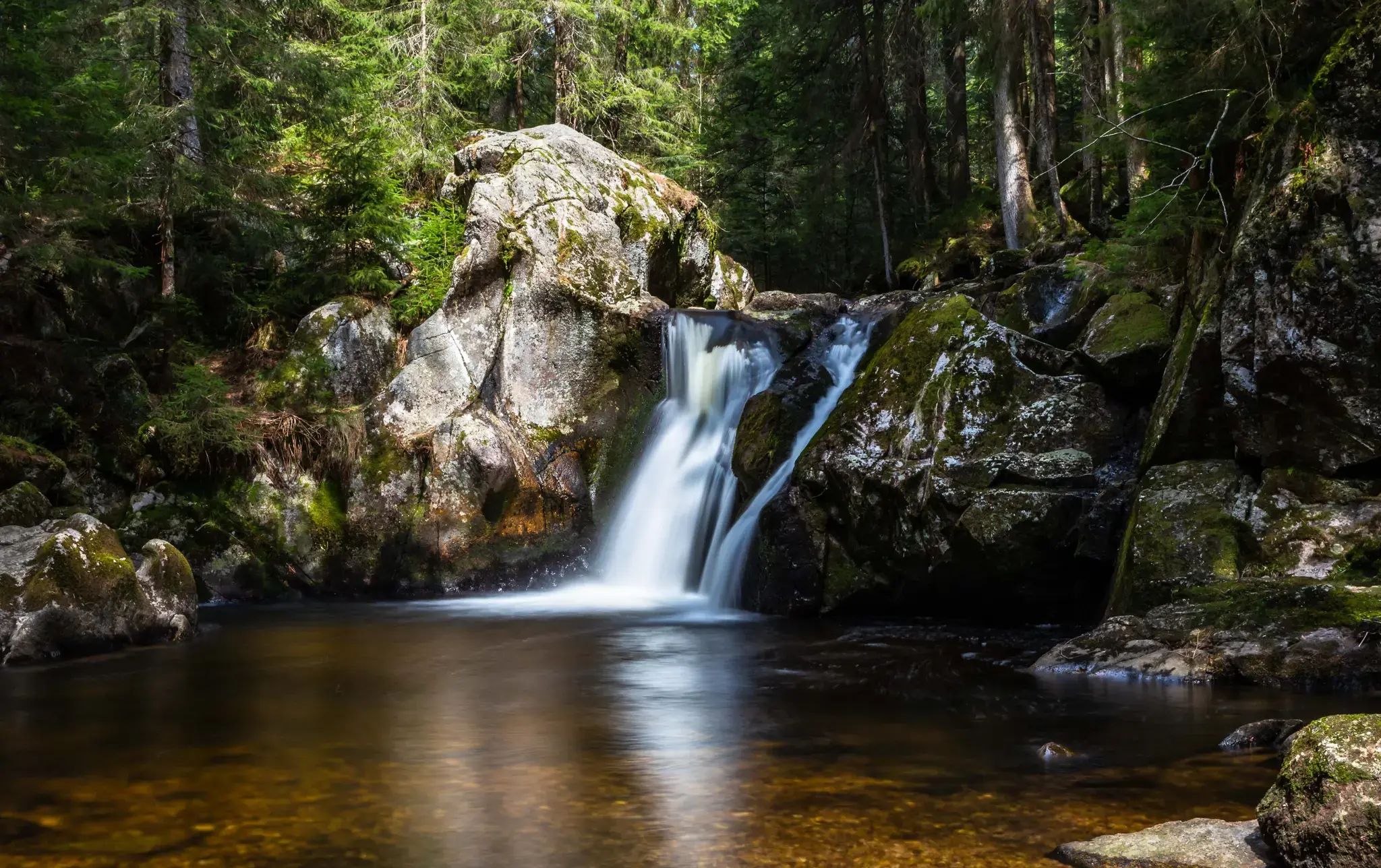
The Black Forest is known for its abundance of waterfalls. The reason for this lies in the large differences in altitude over a short distance, which applies in particular to the topographical situation in the Simonswald valley. In the 300-700 meter sloping western side of the valley, the strong Ice Age glaciations have created cirque walls. The neighboring streams Hirschbach and Zweribach, coming from gently undulating hanging valleys, plunge down into the largest of these cirques, more than 300 meters deep, with several waterfalls, of which only the Zweribach waterfalls are known nationwide. The cirque is protected as a protective forest and as a Zweribach nature reserve.
9
0
エメンディンゲンでのの人気ルート

komootモバイルアプリでインスピレーションを得よう


探していたものは見つかりませんでしたか?
近くの素晴らしい場所をもっと探索したいですか?ガイドを見てみましょう:
さらに探索
まだ探しているハイライトが見つかりませんか?他の地域のトップアトラクションのガイドを見てみましょう:
