ブルクレンゲンフェルト周辺のアトラクション&必見スポット - トップ20
ブルクレンゲンフェルトには必見のスポットがたくさんあります。ハイキング愛好家やサイクリング愛好家の方は、ぜひブルクレンゲンフェルトを探索してこのエリアにある20
の隠れたスポットを訪れてみてください。このエリアの必見スポットを確認し、次の冒険に出かける計画を立てましょう。
最終更新日: 10月 9, 2026
カールミュンツの石橋
ハイライト • 橋
翻訳者 Google •
役立つ情報 は

シュタインベルガー湖
ハイライト • 湖
翻訳者 Google •
役立つ情報 は

今すぐサインアップして、こんな場所を発見しよう
最高のシングルトラック、ピーク、その他のエキサイティングなアウトドアスポットのおすすめを受け取ろう。
シュタインベルガー湖
ハイライト • 湖
翻訳者 Google •
役立つ情報 は

フュンフ・フリュッセ・ラートヴェーク:アンベルク〜シュミートミューレン区間(ヴィルス川沿い)
ハイライト (セグメント) • サイクリングロード
翻訳者 Google •
役立つ情報 は

シュタインベルガー湖のアドベンチャースフィア
ハイライト • 記念碑
翻訳者 Google •
役立つ情報 は
無料でサインアップして、さらに多くの観光スポットを発見しましょう ブルクレンゲンフェルトでの。
すでにアカウントをお持ちですか?
無料アカウントで今日から始めよう
次の冒険が待っています。


コミュニティからのヒント


Lake Steinberger Lake Steinberger is part of the Upper Palatinate Lake District and, with an area of 1.84 km², is the largest lake in the Upper Palatinate. It was named after the municipality of Steinberg am See. It is 1.98 km long, 1.4 km wide, and has a maximum depth of 50 meters. The Schreckerbach stream feeds and drains the lake. After the Bavarian lignite industry ceased mining operations in the mid-1980s, the open-cast mine "Steinberger See" was flooded by reducing the water level. Remaining mining equipment was demolished and still lies on the lakebed. Two small, wooded islands also remain, which now divide the lake into a northern and a southern section. In the following decades, tourism developed at Lake Steinberger, bringing a degree of economic growth to the region. In addition to the Steinberger Yacht Club (SYC), founded in 1987, the area now boasts a sailing school, a water ski lift, a boat rental, a leisure park for families and children, a surf club, and most recently, an adventure golf course and a roughly 40-meter-high wooden "adventure sphere" with viewing platforms, an obstacle course, and a giant slide. Numerous restaurants, inns, and cafés complement the leisure offerings. A water rescue station has been established for the safety of visitors. Due to the increasing improvement in water quality and visibility in recent years, Lake Steinberger has become one of the most popular diving areas in the Upper Palatinate. Like all lakes in the Upper Palatinate Lake District, which originated from lignite mines, the water is acidic due to leaching. Because of the ongoing improvement in water quality, fish populations are steadily increasing. Perch and the occasional pike have been observed most frequently. The water is very clean; on windless days, visibility is possible to a depth of at least 10 meters. Occasionally, the tops of dead trees can be seen on the bottom. According to the ordinance issued by the Schwandorf District Office on August 8, 2002, the entire Steinberger See is open for diving. Especially in summer and winter, very good visibility (up to 20 meters) has been possible in recent years. Source: Excerpts from www.wikipedia.de
1
0
Lake Steinberger Lake Steinberger is part of the Upper Palatinate Lake District and, with an area of 1.84 km², is the largest lake in the Upper Palatinate. It was named after the municipality of Steinberg am See. It is 1.98 km long, 1.4 km wide, and has a maximum depth of 50 meters. The Schreckerbach stream feeds and drains the lake. After the Bavarian lignite industry ceased mining operations in the mid-1980s, the open-cast mine "Steinberger See" was flooded by reducing the water level. Remaining mining equipment was demolished and still lies on the lakebed. Two small, wooded islands also remain, which now divide the lake into a northern and a southern section. In the following decades, tourism developed at Lake Steinberger, bringing a degree of economic growth to the region. In addition to the Steinberger Yacht Club (SYC), founded in 1987, the area now boasts a sailing school, a water ski lift, a boat rental, a leisure park for families and children, a surf club, and most recently, an adventure golf course and a roughly 40-meter-high wooden "adventure sphere" with viewing platforms, an obstacle course, and a giant slide. Numerous restaurants, inns, and cafés complement the leisure offerings. A water rescue station has been established for the safety of visitors. Due to the increasing improvement in water quality and visibility in recent years, Lake Steinberger has become one of the most popular diving areas in the Upper Palatinate. Like all lakes in the Upper Palatinate Lake District, which originated from lignite mines, the water is acidic due to leaching. Because of the ongoing improvement in water quality, fish populations are steadily increasing. Perch and the occasional pike have been observed most frequently. The water is very clean; on windless days, visibility is possible to a depth of at least 10 meters. Occasionally, the tops of dead trees can be seen on the bottom. According to the ordinance issued by the Schwandorf District Office on August 8, 2002, the entire Steinberger See is open for diving. Especially in summer and winter, very good visibility (up to 20 meters) has been possible in recent years. Source: Excerpts from www.wikipedia.de
5
0

Beautiful path around the lake, unfortunately a bit crowded in summer
3
0

Very nice bike path
2
0

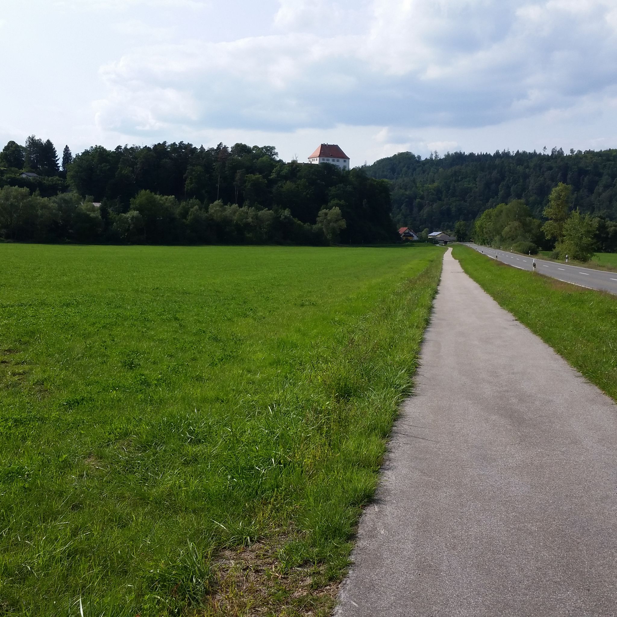
The cycle path runs mainly on water-bound paths, with occasional longer sections being asphalted. The surface is in good condition and is very easy to ride on.
2
0

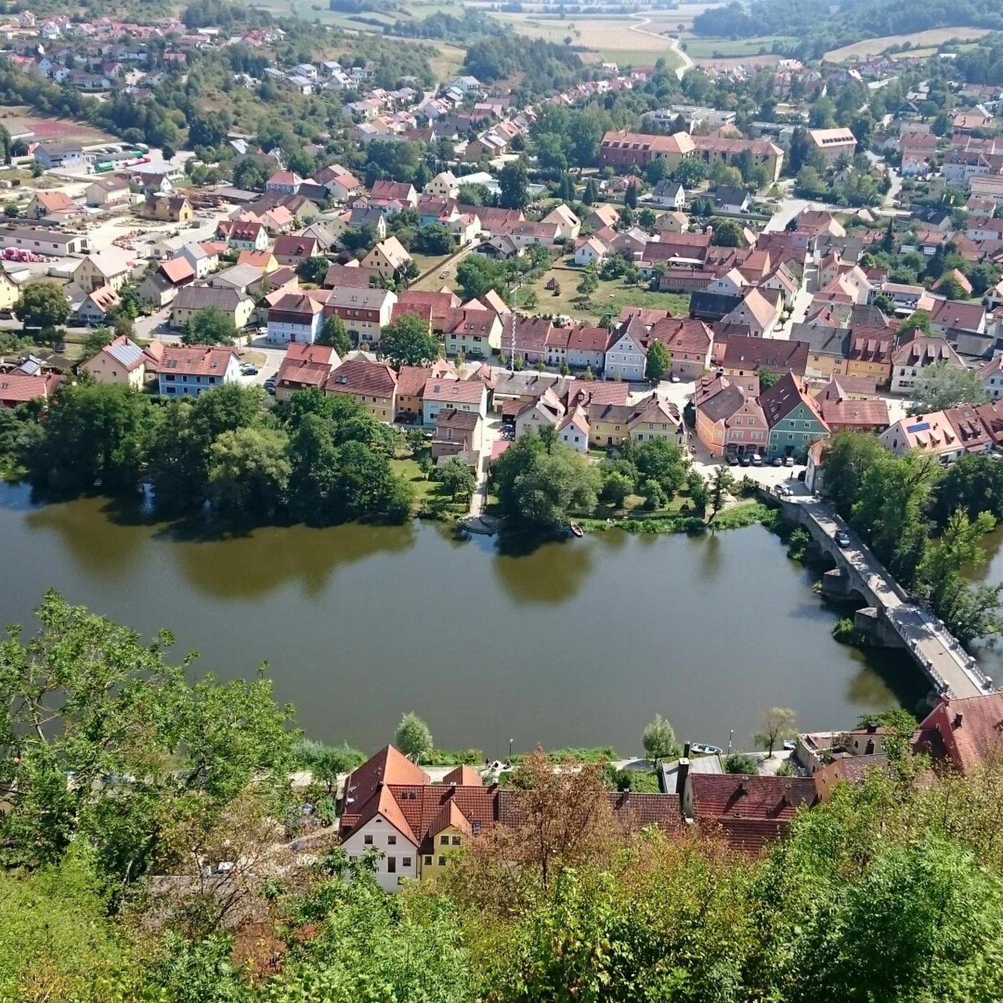
Picturesquely situated small artists' town on the Naab, the smallest cave dwelling in the rock can be seen directly above the main street. Stop at the outer market in the tiny restaurant "Zum Bürstenmacher" - main course "Bauchstecherla" (Schupfnudeln with various ingredients as desired), local beer daily from 11 a.m. to 8:30 p.m.
7
0
ブルクレンゲンフェルトでのの人気観光スポット

komootモバイルアプリでインスピレーションを得よう


さらに探索
まだ探しているハイライトが見つかりませんか?他の地域のトップアトラクションのガイドを見てみましょう:
