バイエリッシュ・グマインの天然記念物・トップ20
バイエリッシュ・グマインが誇る美しい風景を見てみたいなら、バイエリッシュ・グマインの素晴らしい天然記念物・トップ20
に行ってみましょう。あなたにぴったりの場所が見つかるよう、素晴らしい天然記念物を探索するために必要なすべての情報を集めました。次のアウトドアの冒険に出かける計画の参考にしましょう。
最終更新日: 10月 13, 2026
ヒンターゼー東岸
ハイライト • 湖
翻訳者 Google •
役立つ情報 は

アルムバッハ渓谷(Almbachklamm)
ハイライト (セグメント) • 峡谷
翻訳者 Google •
役立つ情報 は

今すぐサインアップして、こんな場所を発見しよう
最高のシングルトラック、ピーク、その他のエキサイティングなアウトドアスポットのおすすめを受け取ろう。
ラムザウアー・アッへ沿いの「魔法の森」
ハイライト (セグメント) • 森
翻訳者 Google •
役立つ情報 は

アルムバッハクラムのズルツァー滝
ハイライト • 滝
翻訳者 Google •
役立つ情報 は

ザウバーヴァルトの小川
ハイライト • 川
翻訳者 Google •
役立つ情報 は

無料でサインアップして、さらに多くの自然記念物を発見しましょう バイエリッシュ・グマインでの。
すでにアカウントをお持ちですか?
無料アカウントで今日から始めよう
次の冒険が待っています。



コミュニティからのヒント

Is a bit bigger than a stream
4
0

Here you can admire colorful plants and roaring water
9
1

Beautiful stream in the enchanted forest... it's beautiful just the way it is... please don't divert it or anything like that!
10
2

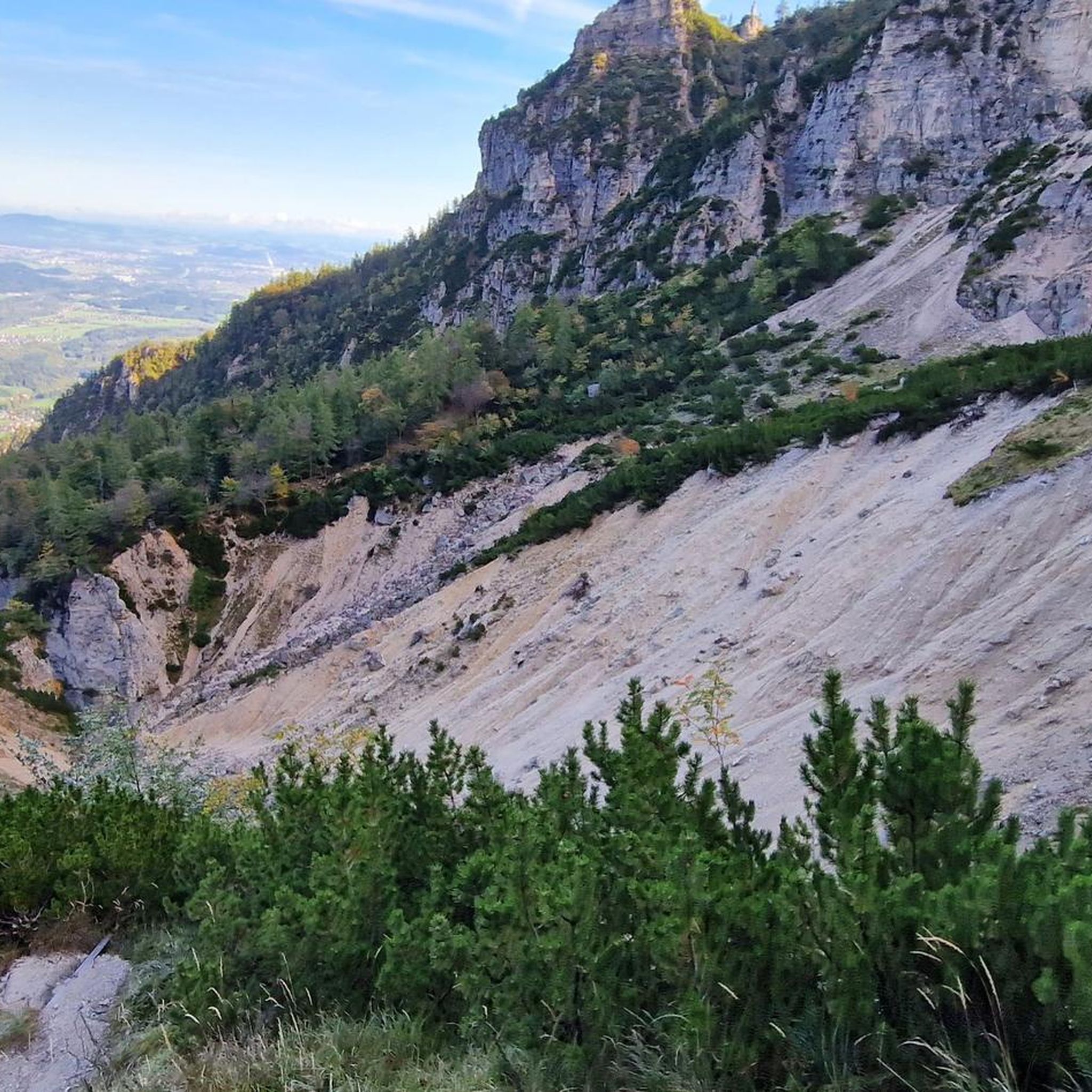
Several thousand years ago, around 15 million cubic meters of rock broke loose between Schärtenspitze and Steinberg in the Hochkalter massif and fell more than 1,000 meters into the valley. There they piled up on top of each other as boulders and dammed the Ramsauer Ache to the Hintersee. This created the charming landscape of the magic forest, which stretches from the Marxenklamm to the Hintersee. The mountain side between Schärtenspitze and Steinberg was identified as the beginning of the landslide. Over a width of around 400 meters, a 70 to 100 meter thick stack of layers had come loose, around 12 to 16 million cubic meters of rock fell into the Blaueistal and crashed onto the opposite slope; You can still find blocks up to 160 m above the valley floor today. Only some of the rock remained lying, the majority moved further down the valley. Only at the Klausbach at the valley exit did the landslides remain in the valley floor as a mass of blocks and rock debris up to 40 meters thick. In total, the landslide material covered a height difference of approximately 1,300 meters and a distance of 3.7 kilometers. The age of the landslide is now fairly well known. A piece of wood was found in a hole that was buried during the natural disaster. An age determination showed around 3500 years, i.e. Bronze Age age.
4
1

The path leads over 29 footbridges and bridges and several stone stairs through the wild Almbachklamm near Marktschellenberg. Even a tunnel is crossed. At the foot of the Untersberg, the Almbach has formed a deep gorge in the terrain. The path through the Almbachklamm is three kilometers long. Trees line your path, the bubbling and roaring torrent flows next to you. Right at the entrance to the gorge you can visit the oldest marble ball mill in Germany. An adventure for the whole family – even in summer. The Almbachklamm is usually open from the beginning of May to the end of October. However, there may be changes due to weather conditions (it's best to check on the website before starting your tour). The starting point is the free Almbachklamm car park on Kugelmühlweg in Marktschellenberg. If you come by public transport, you can use bus lines 836 and 840. Further information is available at https://www.berchtesgaden.de/almbachklamm.
5
5

The early bird, etc. On a sunny day, the stream is particularly worthwhile early in the morning. The sunlight then creates a particularly beautiful atmosphere. In addition, there is not too much visitor traffic.
2
1

Little stream? It can sometimes be more.
2
1

The creek is just beautiful in all places.
4
1
バイエリッシュ・グマインでのの人気観光スポット

komootモバイルアプリでインスピレーションを得よう


さらに探索
これらのガイドで、最高の洞窟を探す範囲を広げましょうバイエリッシュ・グマインでの:
