バイアースブロンの山小屋&キャビン・トップ20
アウトドアで過ごす一日のハイライトはなんといっても山小屋です。次の冒険での山小屋選びの参考となるよう、バイアースブロンの素晴らしい山小屋・キャビンをまとめました。以下の一覧から理想の山小屋・キャビンを見つけて、スムーズに次の冒険を計画しましょう。
最終更新日: 7月 20, 2026
ダルムシュタッター・ヒュッテ
ハイライト • 山小屋
翻訳者 Google •
役立つ情報 は

Renchtalhütte とヤギの囲い
ハイライト • 山小屋
The …
翻訳者 Google •
役立つ情報 は

今すぐサインアップして、こんな場所を発見しよう
最高のシングルトラック、ピーク、その他のエキサイティングなアウトドアスポットのおすすめを受け取ろう。
無料新規登録
エルバッハ湖
ハイライト • 湖
翻訳者 Google •
役立つ情報 は

サッテライ・ヒュッテ
ハイライト • 山小屋
翻訳者 Google •
役立つ情報 は

ブルクバッハフェルゼン・パビリオン
ハイライト • 展望台
翻訳者 Google •
役立つ情報 は

無料でサインアップして、さらに多くの小屋やキャビンを発見しましょう バイアースブロンでの。
無料新規登録
すでにアカウントをお持ちですか?
無料アカウントで今日から始めよう
次の冒険が待っています。
ログインまたは登録
バイアースブロン周辺で人気
ハイキング ヘフン ズー ダイ ブラックフォレスト イン ジャーマニー – Baiersbronn Seensteig Lake Trail
Experience the diverse Murg Valley in 5 stages – Murgleiter Trail
北から南へ8日間 – ブラックフォレストクロッシング
Barrier-free hikes in the Black Forest National Park
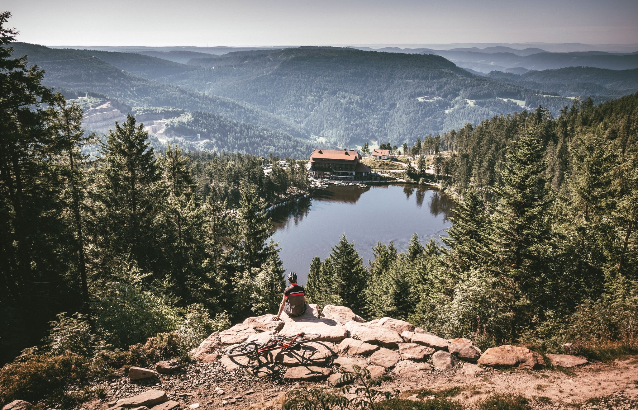
Your Gravel Summer – refreshing rides in the Black Forest
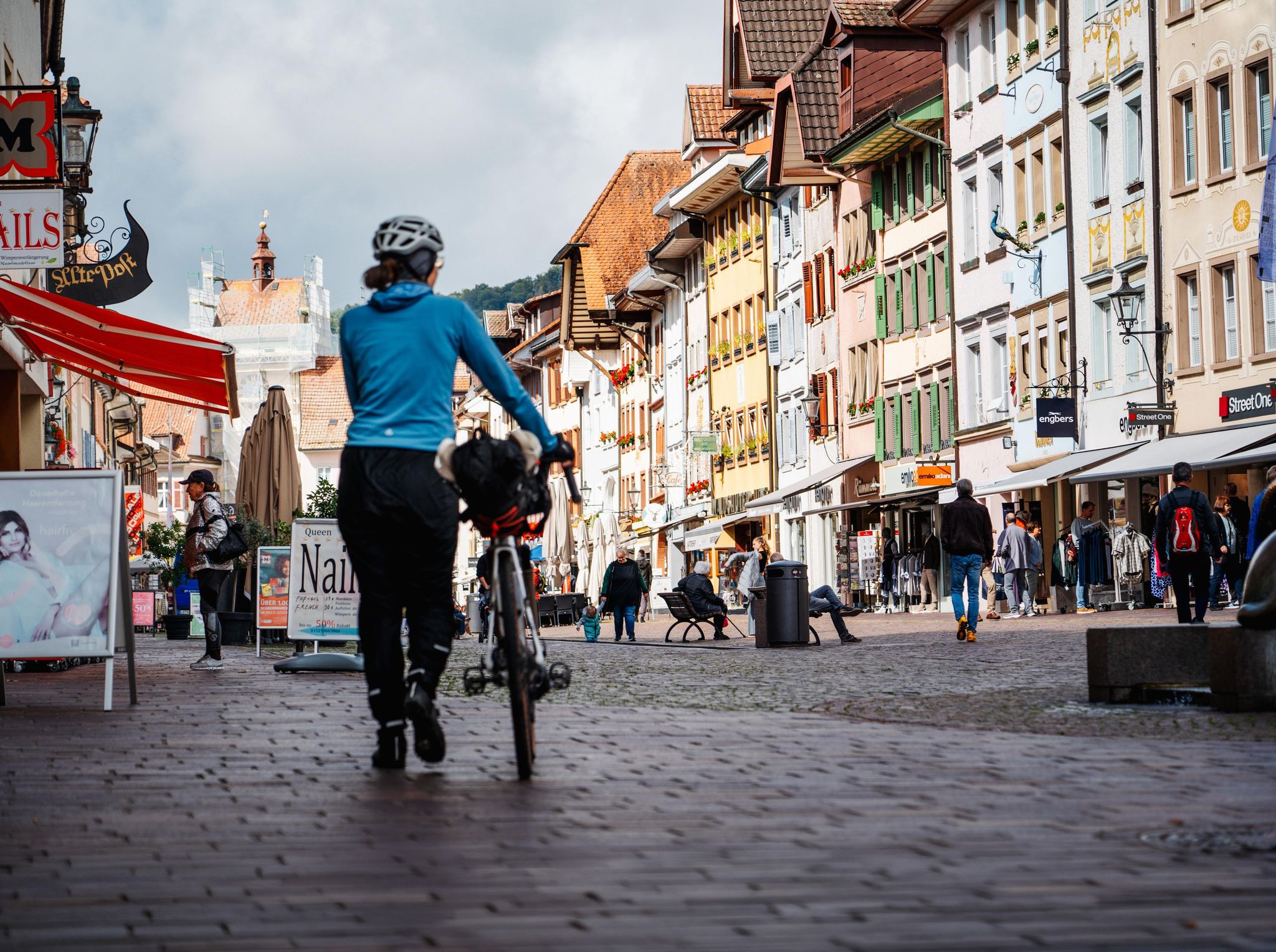
Adventure on two wheels – overnight cycling trips in Baden-Württemberg
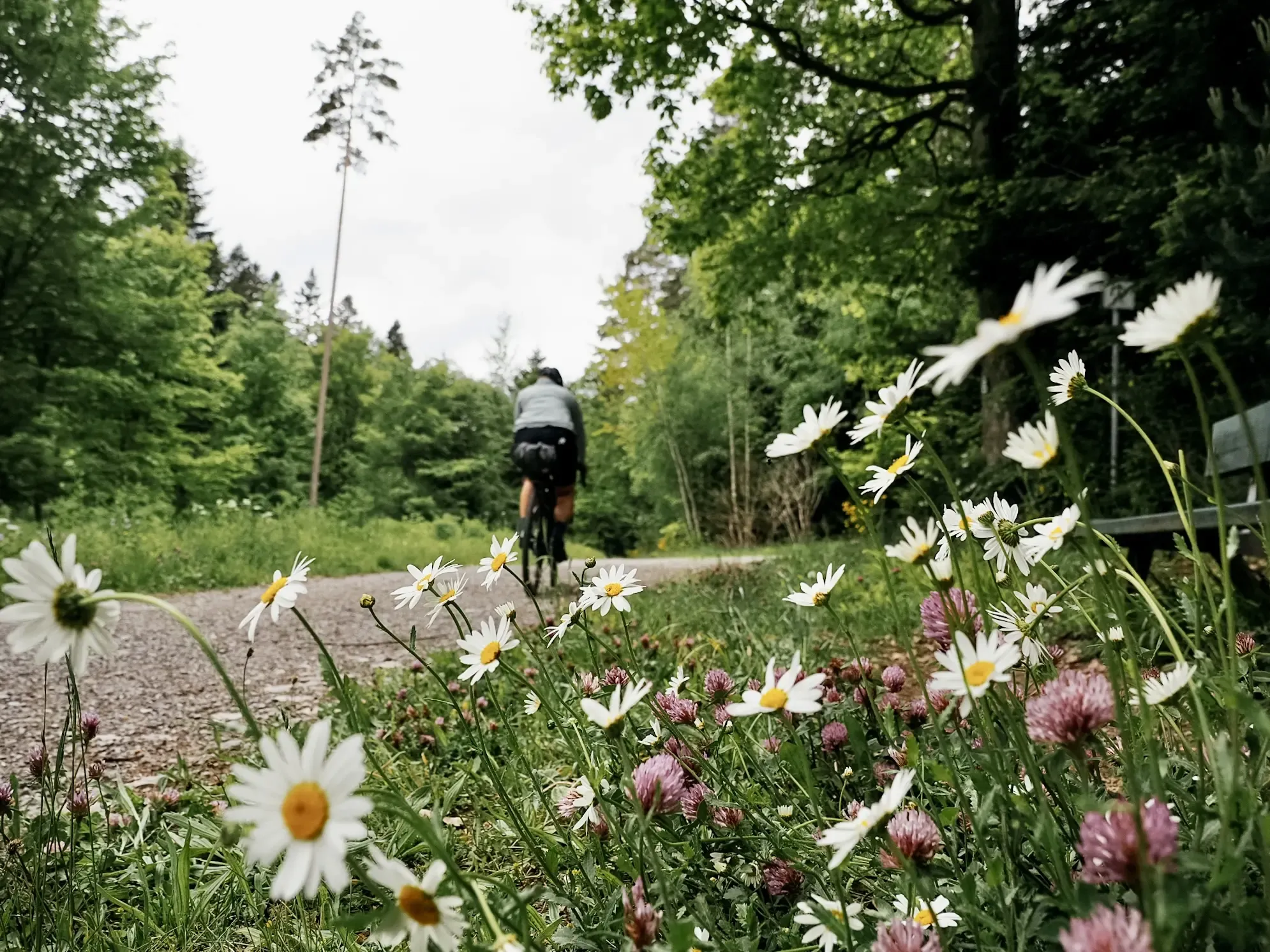
Naturparke-Gravel-Crossing: bikepacking in Baden-Württemberg
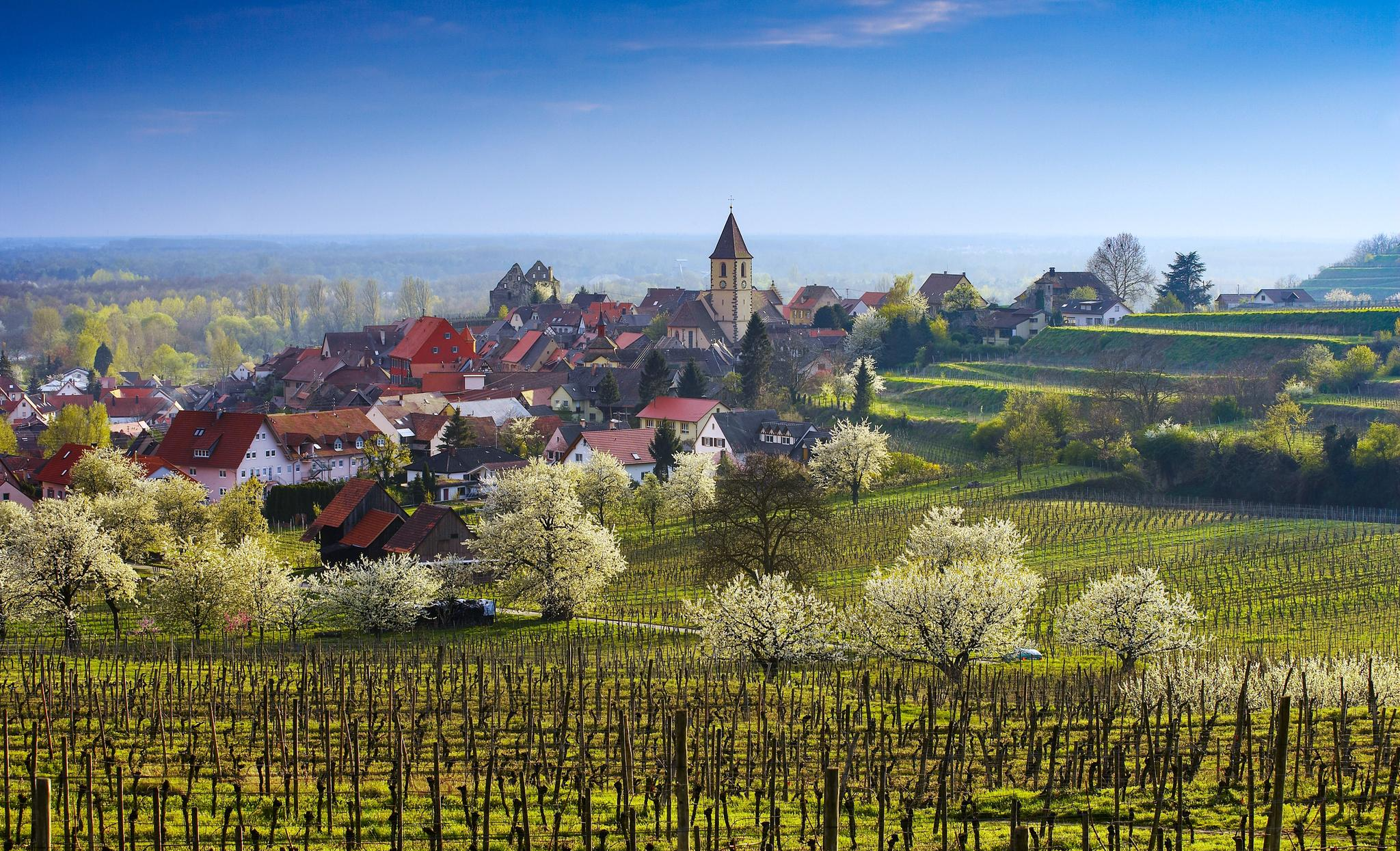
Dreaming in the valley – low-lying spring trails in the Black Forest

Coolcation in the Black Forest – hiking and cooling off in summer
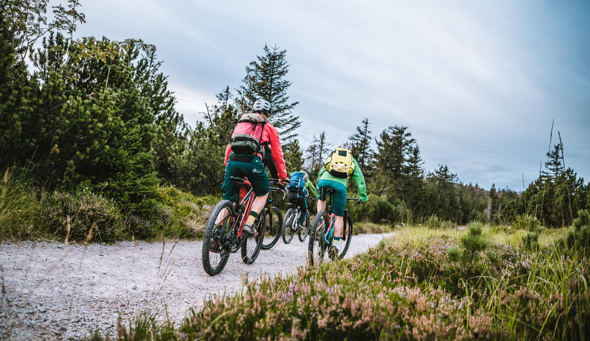
Let's gravel! Superb riding in the Black Forest National Park
バイアースブロンでのの他の冒険


コミュニティからのヒント

The silted-up, originally almost circular lake now resembles a three-fingered hand. The south-southwest-facing "fingers" are between 80 and 110 meters long, and the northern "palm" has a diameter of approximately 40 meters. The body of water, mostly covered by floating vegetation, has a maximum diameter of just under 150 meters. Like all cirque lakes, the Ellbachsee was formed by glaciers. The last deepening of the lake basin occurred during the Würm glaciation, which ended in the Black Forest about 10,000 years ago. The Ellbachsee and its surroundings are designated as a natural monument (7.1 hectares), a geotope, and a protected forest. Source: Wikipedia
10
0

The Ellbachsee in the municipality of Baiersbronn was designated as an extensive natural monument in 1937. The protected area covers a total area of approximately 7.1 hectares. The water area is surrounded by a Bultenmoor; it forms an independent biotope for many endangered animal and plant species. Because of its high sensitivity to being stepped on, you should avoid walking on it so that this habitat is not destroyed. Compared to the other karst lakes in the Black Forest, the Ellbachsee is not particularly deep at 1 to 2 meters. Its length is approximately 190 meters and its width is approximately 40 meters. At just 0.34 hectares, the open water area is the smallest of the karst lakes in the northern Black Forest. It has now become increasingly silted up, which is reflected in a silted area of 1.16 hectares. Some downy birch trees have already settled on the peat island floating on it. The lake has a narrow outlet and breaks through the moraine. It flows into the Guten Ellbach, which flows into the Murg in Baiersbronn Mitteltal.
7
0

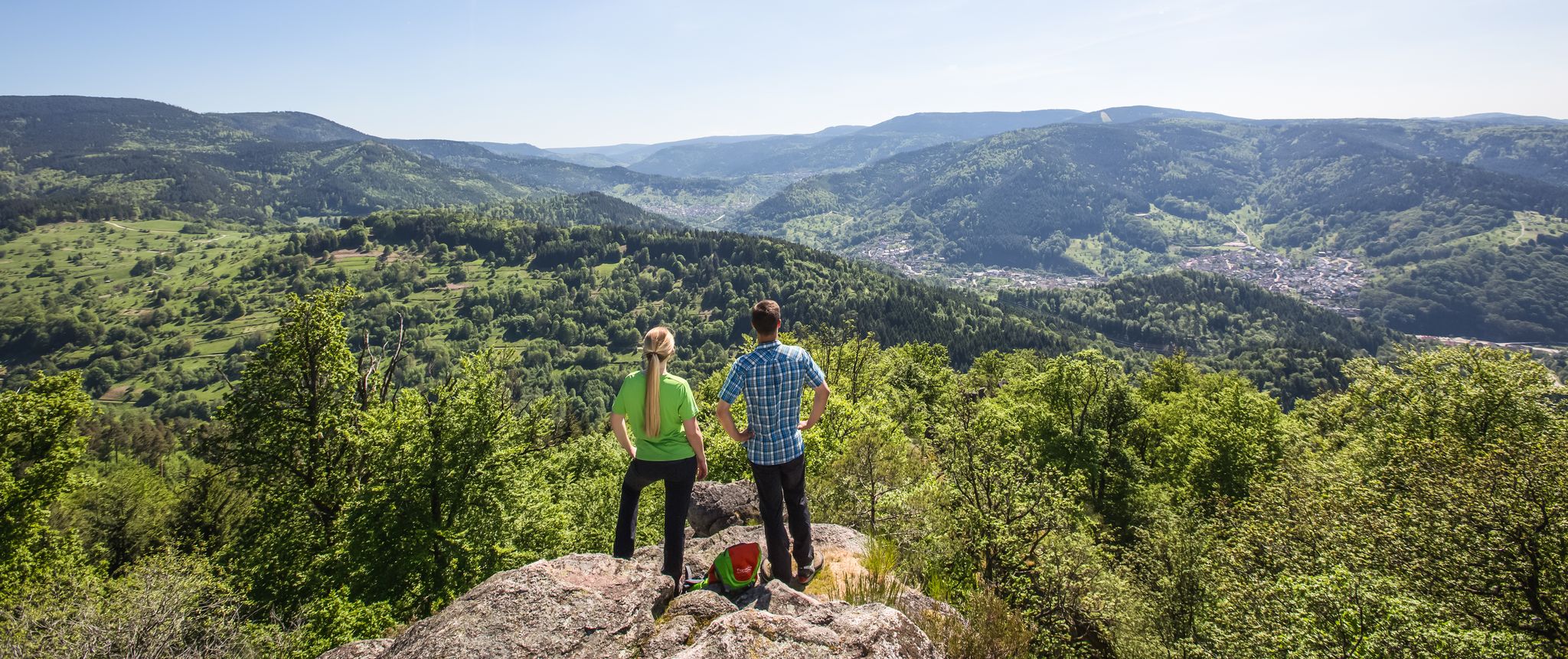
According to records, an “old castle” must have stood here around 1655. There probably never was a noble family based on the Burgbach rock. Unfortunately nothing remains. Source: https://www.alleburgen.de/bd.php?id=11224 You can use a circular path to ascend and descend the Burgbach rocks: up the stone stairs to the pavilion and down along a path (or vice versa, depending on your taste). The view from the rock is incredible, especially when the weather is nice...
10
0


The prices correspond to the quality. My wife and I think it's very nice here.
9
0

Next to the viewing pavilion is a large table with benches. Here we were able to enjoy a hearty snack.
14
0

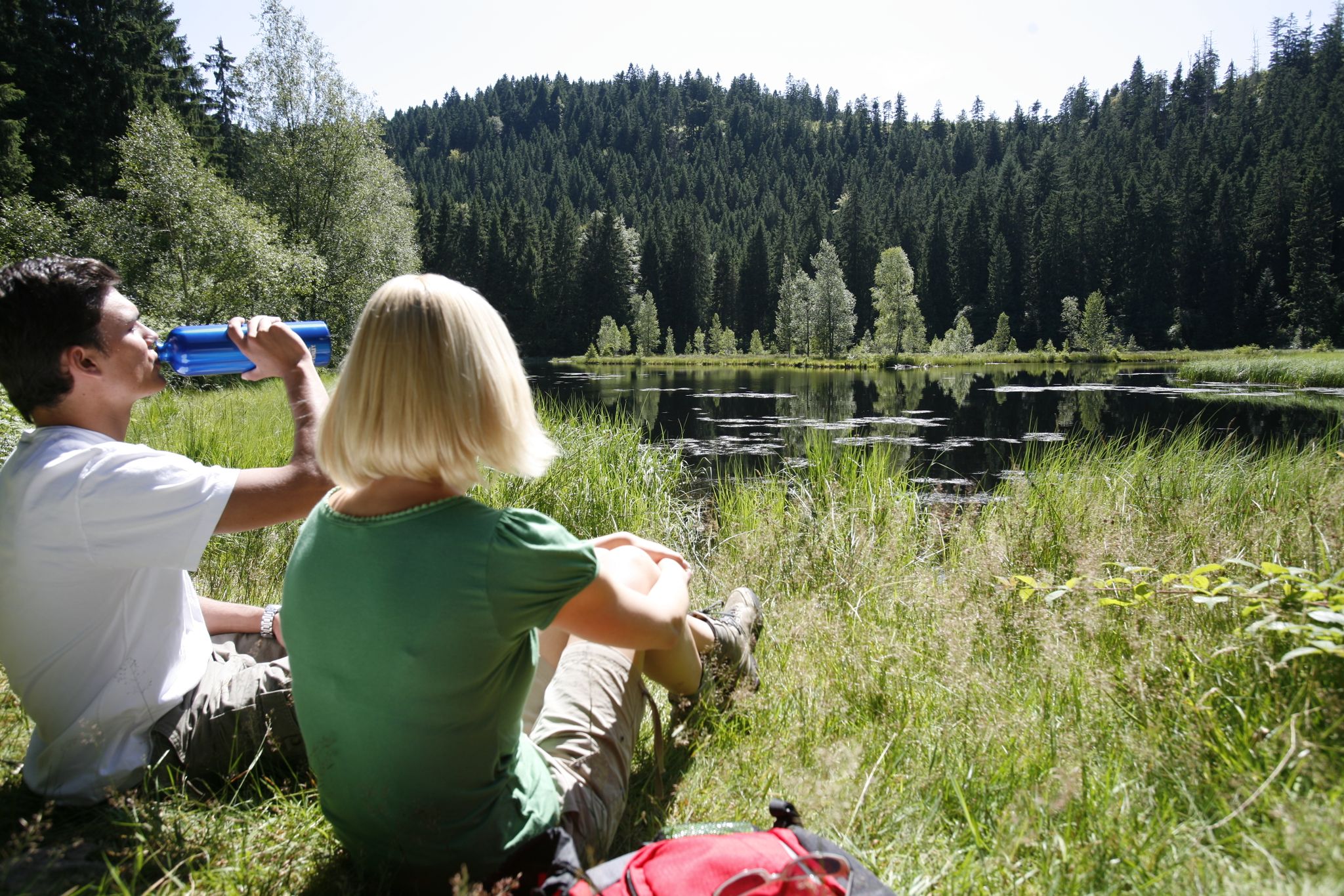
The Ellbachsee is home to a floating peat island, elves and water spirits 🧚♀️🧚♂️. This is probably one of the reasons why it is designated as a natural monument worthy of protection.
9
0

Hut belonging to the Hotel Bareis, you eat very well here
8
0

komootモバイルアプリでインスピレーションを得よう


さらに探索
これらの近くの場所で最高の小屋やキャビンを見つけましょうバイアースブロンでの:
