バートヒンデラングの峠・トップ20
風景を楽しんだり、上りや下りを満喫したり、峠には楽しみ方がたくさんあります。バートヒンデラングの素晴らしい峠の一覧を参照して、思い出に残るアドベンチャーに出かけましょう。コミュニティのメンバーがコミュニティのために投稿した峠のハイライトは、他のユーザーが実際におすすめする情報なので、どれも信頼できるものです。気に入った峠にさっそく向かってみましょう。
最終更新日: 10月 13, 2026
ブライテンベルク山頂
ハイライト • 山頂
翻訳者 Google •
役立つ情報 は

Bschiesser
ハイライト • 山頂
翻訳者 Google •
役立つ情報 は

今すぐサインアップして、こんな場所を発見しよう
最高のシングルトラック、ピーク、その他のエキサイティングなアウトドアスポットのおすすめを受け取ろう。
タンハイム山脈の眺め
ハイライト • 展望台
翻訳者 Google •
役立つ情報 は

オーバーヨッホ峠
ハイライト (セグメント) • 山道
A popular pass for road cyclists and, of course, motorcyclists too! :-)
翻訳者 Google •
役立つ情報 は

メーデレヨッホ峠(バイエルン—チロル国境)
ハイライト • 山道
The Mädelejoch is at 1,973 m. The ascent from the Kemptener Hütte took about 30 minutes.
Better weather next time please. 👍🏼
翻訳者 Google •
役立つ情報 は

無料でサインアップして、さらに多くの山道を発見しましょう バートヒンデラングでの。
すでにアカウントをお持ちですか?
無料アカウントで今日から始めよう
次の冒険が待っています。
バートヒンデラング周辺で人気

スタインボックツーア拡大版 – アルゲーアルペスの貫通

ボーデンザーからケーニッヒゼーまで、マクシミリアンスウェグを通って

アルゴイ地方の最高峰 – オーバーアルゴイ地方周遊
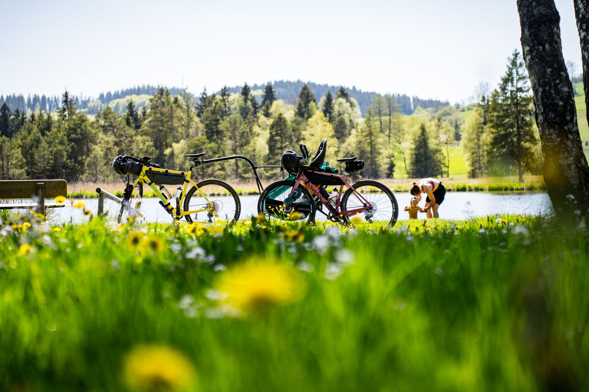
美しいアルガウでベビーとバイクパッキング
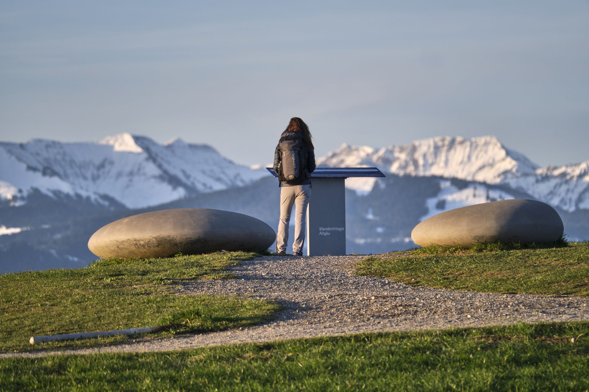
Experience history – hike the Trilogy Tours in Allgäu
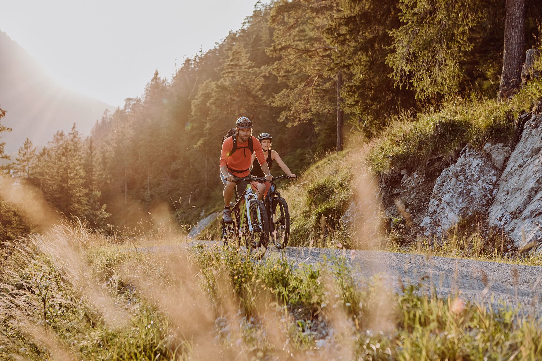
Alpine panorama and mountain huts – nature biking in Germany’s Allgäu
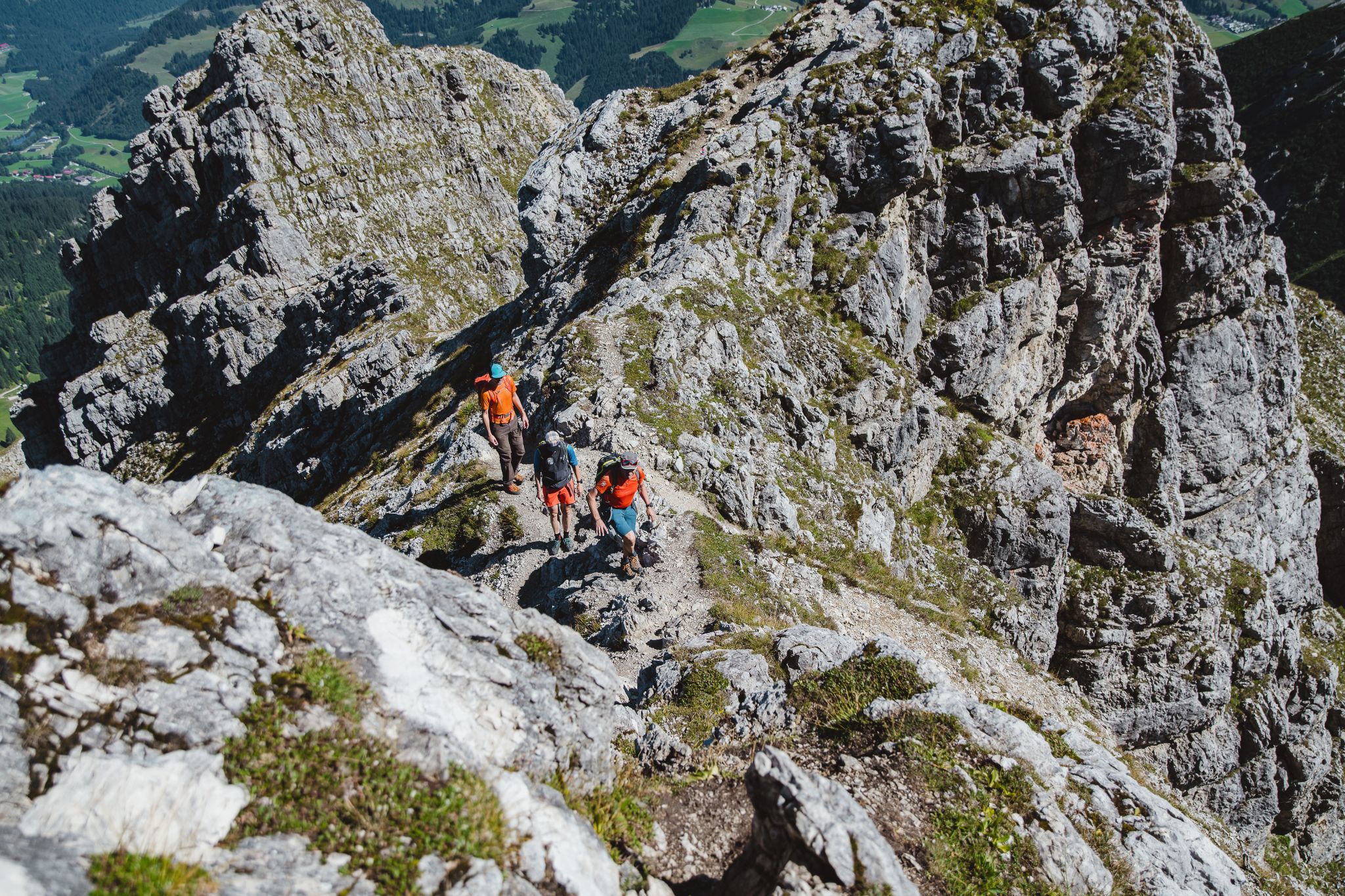
偉大なる日のバド・ヒンデラング周辺のツアー

Climbing Alpine peaks on the Route to the Top – Allgäu hiking trilogy
グレンツゲンGER – 6 Tage Weitwandern im Tannheimer Tal
The Max Trail — 西から東へアルプスを横断する
バートヒンデラングでのの他の冒険


コミュニティからのヒント

Start in Grän and always follow the signs for MTB Tour Adlerhorst.
1
0

The Tannheimer Valley is so versatile and offers almost countless opportunities for many activities
0
0


The steep gravel path up is torture, but the view is worth it.
4
0

The Tannheimer Valley is worth a visit at any time of year. In summer it is especially fun to visit by bike.
4
0

Very nice view, well signposted / developed cycle paths :)
4
0


The 1838 meter high Breitenberg near Pfronten is a relatively easy mountain to climb, and from the summit it offers a beautiful view down into the Allgäu. Several paths of varying steepness lead up in 2 - 2.5 hours, a complete crossing takes about 5 hours. An easy and long path starts on the west side north of the German-Austrian border. It is even easier to take the cable car to the saddle between Breitenberg and Aggenstein. The Ostlerhütte is right on the summit. On the steep north side is the Tirolerstadl and behind it a challenging path to the summit. In winter there is a ski area on the Breitenberg. Source: https://allgaeu-erleben.com/0404-breitenberg.php
4
0

komootモバイルアプリでインスピレーションを得よう


さらに探索
これらのガイドでさらに壮大な山道を見てみましょうバートヒンデラングでの:
