ゴータの滝・トップ20
Landkreis Gotha周辺の滝は、ドイツ、テューリンゲン州内で自然の美しさとレクリエーションの機会を提供しています。この地域は森林と谷があり、アウトドアアクティビティの場となっています。自然の滝、滝のある渓谷、人工の水景で知られています。これらの場所は、ハイキングや自然環境を体験する機会を提供します。
Landkreis Gotha周辺の最高の滝
- 最も人気のある滝はシュピッター滝で、落差32メートルのテューリンゲン州で最も高い自然の滝と言われています。シュピッターグルント自然保護区内のタンバッハ=ディーテアーツ近郊にあります。
- もう一つの必見スポットは、自然記念物であるシルフ滝です。訪問者は涼しい谷への小道沿いの価値ある寄り道が期待できます。
- 訪問者はまた、歴史的な意義を持つ滝、ミュールベルクのヴァイトバッハと滝も気に入っています。この場所は、自然の水景と歴史的な文脈を組み合わせています。
- Landkreis Gothaは、自然の滝、滝のある渓谷、人工の水景で知られています。この地域は、のどかな滝からより挑戦的な渓谷のトレイルまで、さまざまな滝を提供しています。
- Landkreis Gotha周辺の滝は、komootコミュニティによって高く評価されています。ユーザーは892枚の写真を提供し、このガイドのハイライトに938件の「いいね」を付けています。
最終更新日: 11月 14, 2026
スピッターファル滝
ハイライト • 滝
翻訳者 Google •
役立つ情報 は

Röllchen渓谷と滝
ハイライト (セグメント) • 峡谷
翻訳者 Google •
役立つ情報 は

今すぐサインアップして、こんな場所を発見しよう
最高のシングルトラック、ピーク、その他のエキサイティングなアウトドアスポットのおすすめを受け取ろう。
ミュールベルクのヴァイドバッハと滝
ハイライト • 滝
翻訳者 Google •
役立つ情報 は

シュリーフの滝
ハイライト • 滝
翻訳者 Google •
役立つ情報 は

Spitterbachfallへの山の小道
ハイライト • 滝
翻訳者 Google •
役立つ情報 は

キューレス谷自然歩道とシルフの滝
ハイライト (セグメント) • トレイル
翻訳者 Google •
役立つ情報 は

Kühles Tal トレイル
ハイライト (セグメント) • トレイル
ATTENTION - hikers - actually a nature trail
翻訳者 Google •
役立つ情報 は

ゲーラシュトーレン西口
ハイライト • 構造物
翻訳者 Google •
役立つ情報 は

ゲーラシュトレン水路トンネル
ハイライト • 構造物
翻訳者 Google •
役立つ情報 は
ヴァルスバッハの森の湧き水と池
ハイライト • 湖
翻訳者 Google •
役立つ情報 は
無料でサインアップして、さらに多くの滝を発見しましょう ゴータでの。
すでにアカウントをお持ちですか?
無料アカウントで今日から始めよう
次の冒険が待っています。
ゴータ周辺で人気
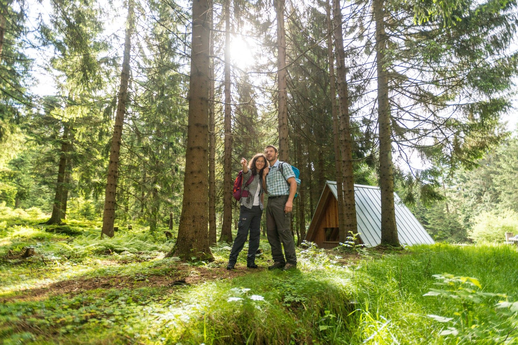
ザ・レンシュタイク — テューリンゲンの最も美しいハイキングルート
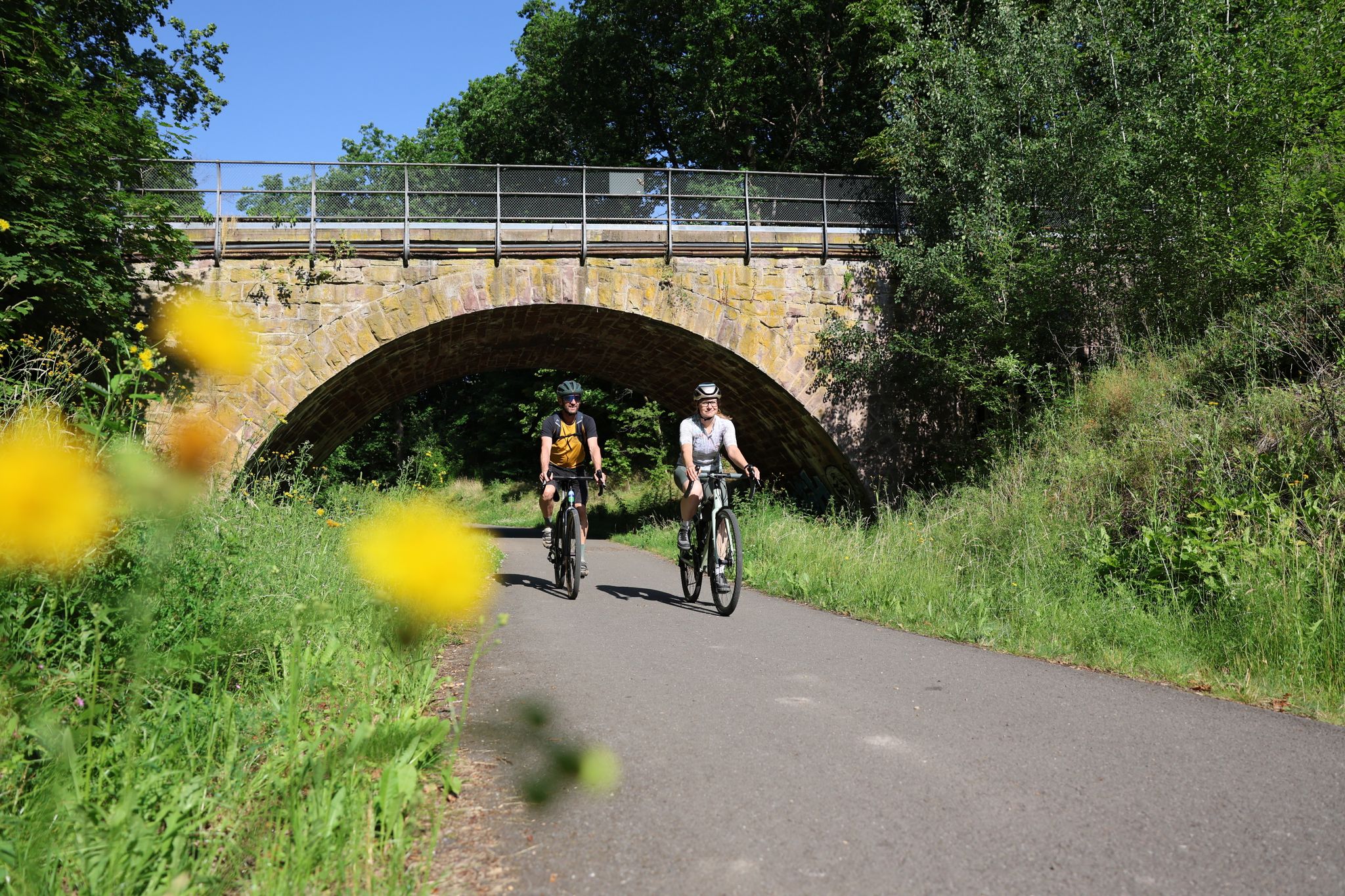
Gravel adventures in the Thuringian Forest
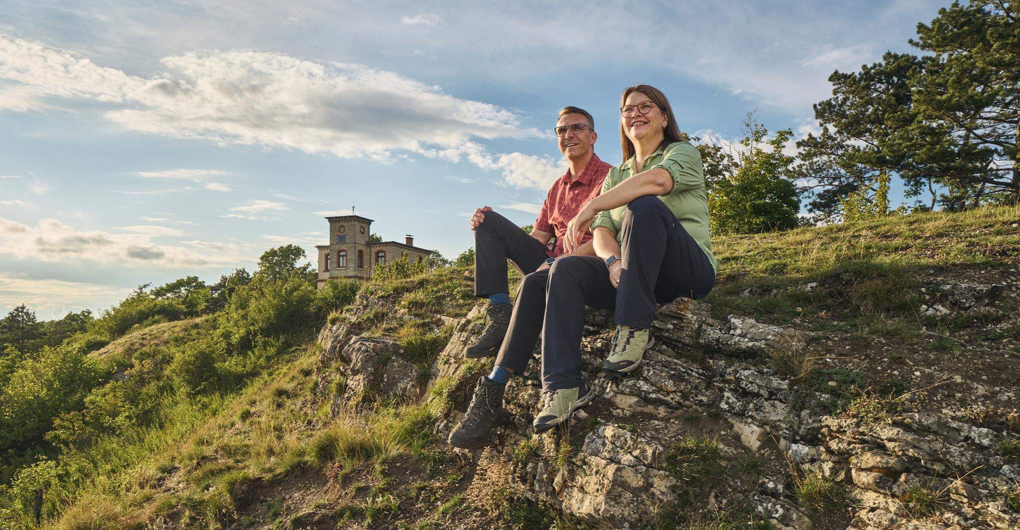
Autumn Hiking with a view – 7 WOW Tours between Wartburg and Hainich
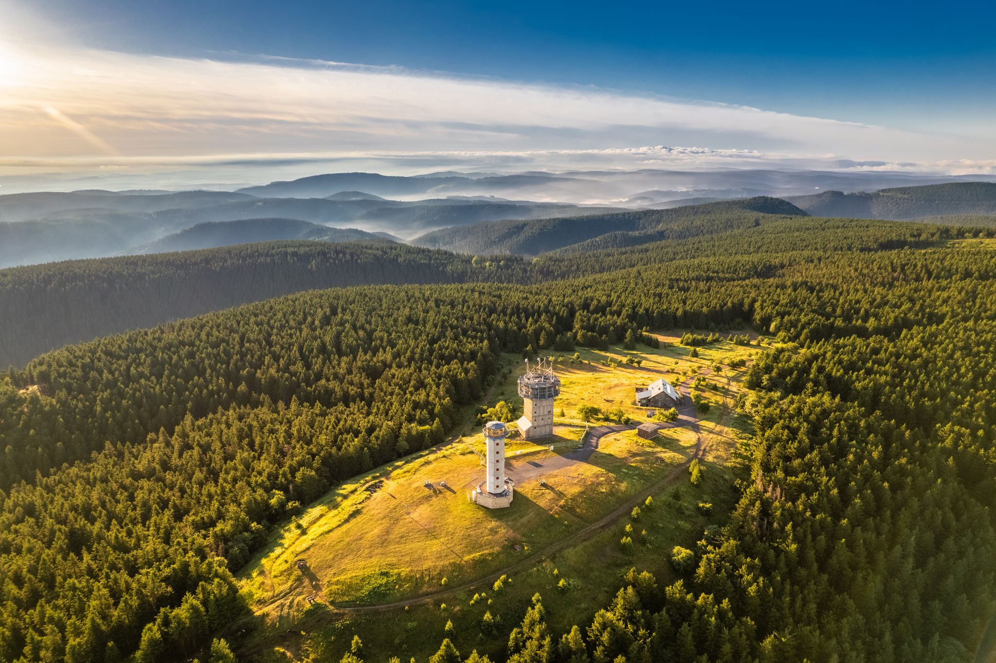
Forest, vastness and water – day trips in the Thuringian Forest
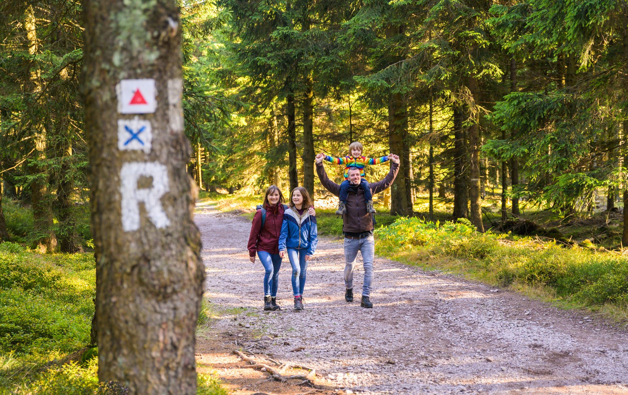
Play, nature and good fun – family hikes in the Thuringian Forest
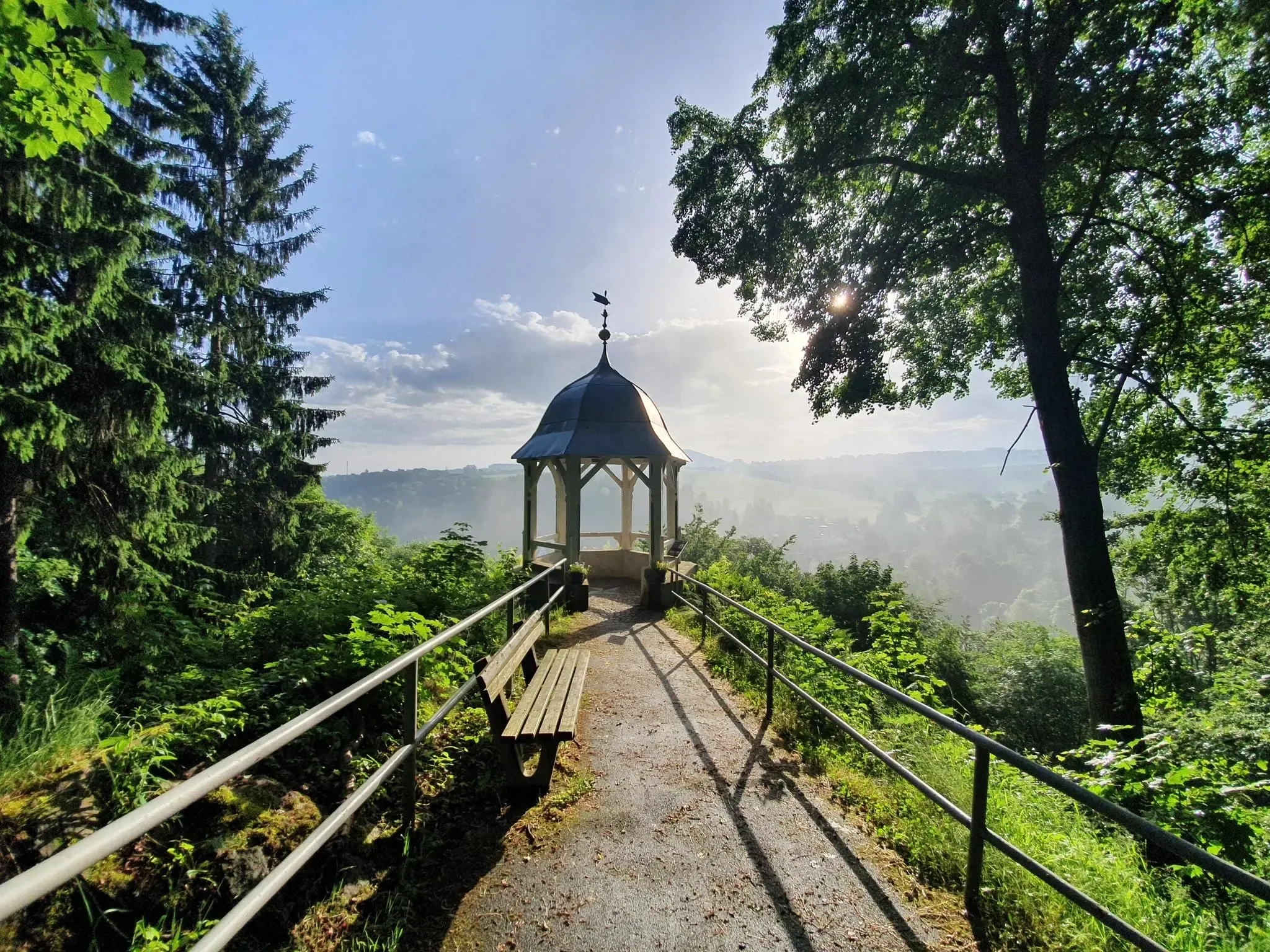
#GoFurther – discover the views of Germany!
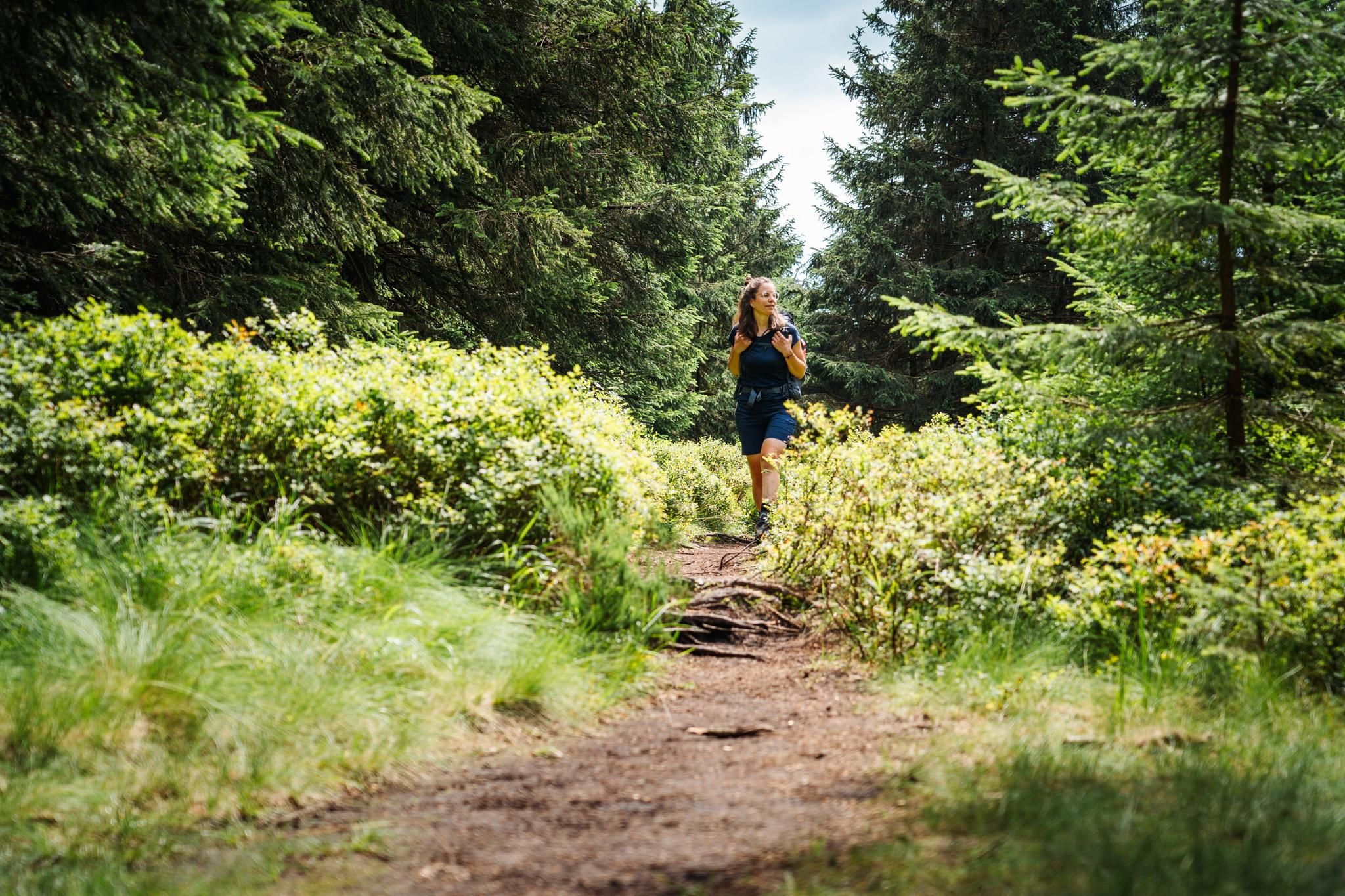
テューリンゲンの森が呼んでいます – レンシュタイクでの遠距離ハイキング
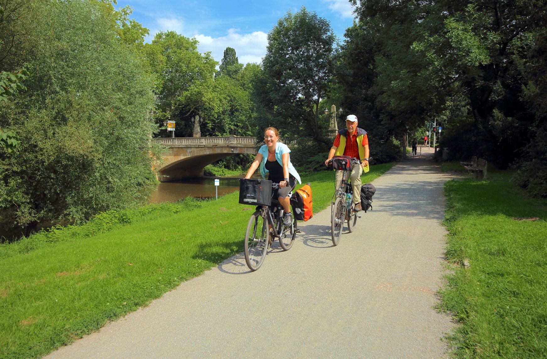
テューリンゲンの文化の真珠 - アイゼナハからアルテンブルクへの都市連鎖
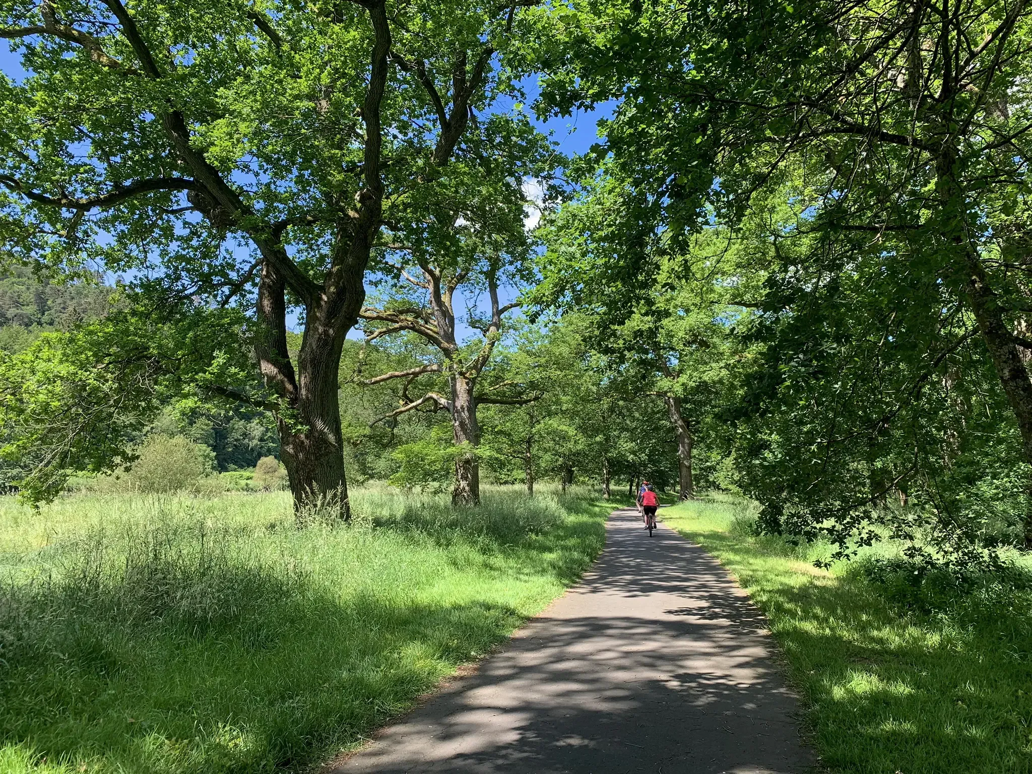
D-Route 4: Mittelland Route
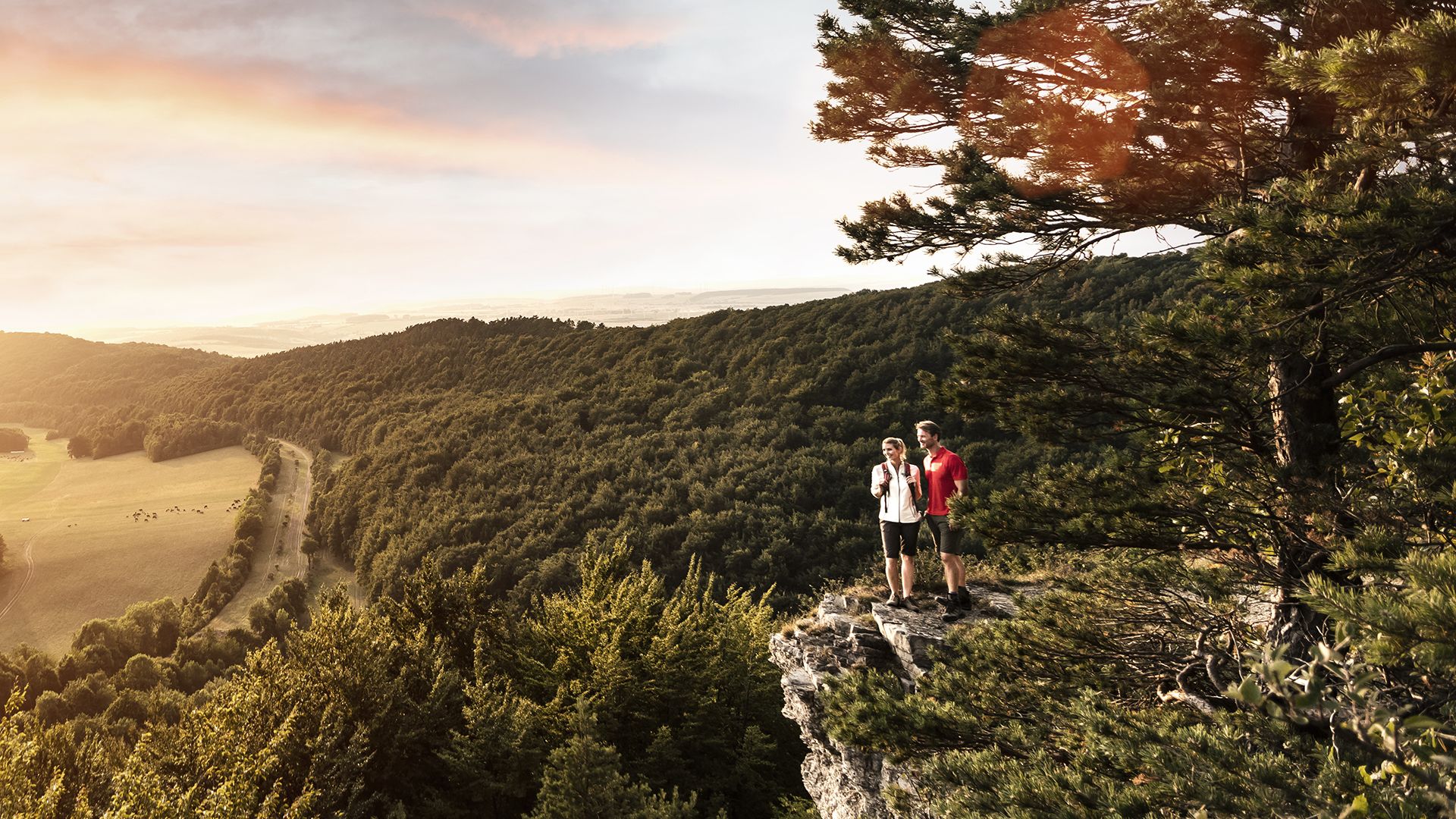
Spend time outdoors – active hikes in Germany’s Thuringia
ゴータでのの他の冒険


コミュニティからのヒント

It serves as a gravity diversion connecting the 34.7 km² catchment area of the Zahme Gera, the Wilde Gera, the Kehltalbach, the Sieglitzbach, and the Langen Grund to the Ohratalsperre. Source: Wikipedia
10
1

Very washed out, with deep ruts and very rough rocky sections. Still good to ride.
0
0


The Gerastollen, here you can take beautiful pictures.
10
0

The Weidbach flows under Karl-Marxstrasse and Burgstrasse. The aqueduct is an artificially created watercourse that used to be used to carry the Weidbach to Steigmühle. Today, the Weidbach water flows through an opening in the aqueduct into the Burgbach. In 1993, the aqueduct was renovated using monument preservation funds from the state of Thuringia. A few meters after it merged with the Burgbach, the Weidbach was used in the past to operate some of the Mühlberg mills. It now flows in a slight right-hand curve in a northeasterly direction, past the Steigmühle, under Haarhäuser Strasse, past the Öl- und Graupen-Mühle, under Mühlenstrasse and flows north towards the last mill in the Mühlberg area, the Feldmühle.
11
0

A hidden, surprisingly long and challenging trail that demands a lot from the tires - especially when wet. Flowy sections alternate with rough root and stone passages. Some deep spots with no way to avoid them, always close to the water. Two small wooden bridges and a waterfall round it all off. I came across it by chance and will often include this section in my tours. Due to the narrow width, you have to be more careful of hikers on weekends.
1
0

komootモバイルアプリでインスピレーションを得よう


探していたものは見つかりませんでしたか?
近くの素晴らしい場所をもっと探していますか?これらの地域ごとのガイドで、さらに素晴らしい滝を見てみましょうゴータでの:
さらに探索
少し遠出するのは嬉しいですか?それなら、これらのガイドで最高の滝を見てみましょうゴータでの:
