フリースラント(地区)の湖・トップ20
次の冒険でフリースラント(地区)の素晴らしい湖を訪れてみませんか?湖畔の穏やかな雰囲気や、天気が良い日のひと泳ぎは格別です。komootコミュニティがおすすめするフリースラント(地区)の素晴らしい湖の一覧を参考にして、次の冒険では湖をもっと満喫しましょう。
最終更新日: 10月 17, 2026
ヴァーレル港
ハイライト • 構造物
翻訳者 Google •
役立つ情報 は

フックスジーラー・ビネンティーフ(フックスメーア)
ハイライト (セグメント) • 湖
翻訳者 Google •
役立つ情報 は

今すぐサインアップして、こんな場所を発見しよう
最高のシングルトラック、ピーク、その他のエキサイティングなアウトドアスポットのおすすめを受け取ろう。
ヴァンガーメーア
ハイライト • 湖
翻訳者 Google •
役立つ情報 は

ザンダー湖
ハイライト • 湖
翻訳者 Google •
役立つ情報 は

フックスジール・ウォータースキー施設
ハイライト • 構造物
翻訳者 Google •
役立つ情報 は

ケーニヒスゼー・アステダーフェルト
ハイライト • 湖
翻訳者 Google •
役立つ情報 は

プロムナード橋
ハイライト • 橋
翻訳者 Google •
役立つ情報 は

エレンザーダマー・ティーフのビネンプュッテン
ハイライト • 湖
翻訳者 Google •
役立つ情報 は

ヴァンガーメーア周回トレイル
ハイライト • トレイル
翻訳者 Google •
役立つ情報 は

ヴァルトゼー・ヘレンノイエン
ハイライト • 湖
翻訳者 Google •
役立つ情報 は

無料でサインアップして、さらに多くの湖を発見しましょう フリースラント(地区)での。
すでにアカウントをお持ちですか?
無料アカウントで今日から始めよう
次の冒険が待っています。
フリースラント(地区)周辺で人気
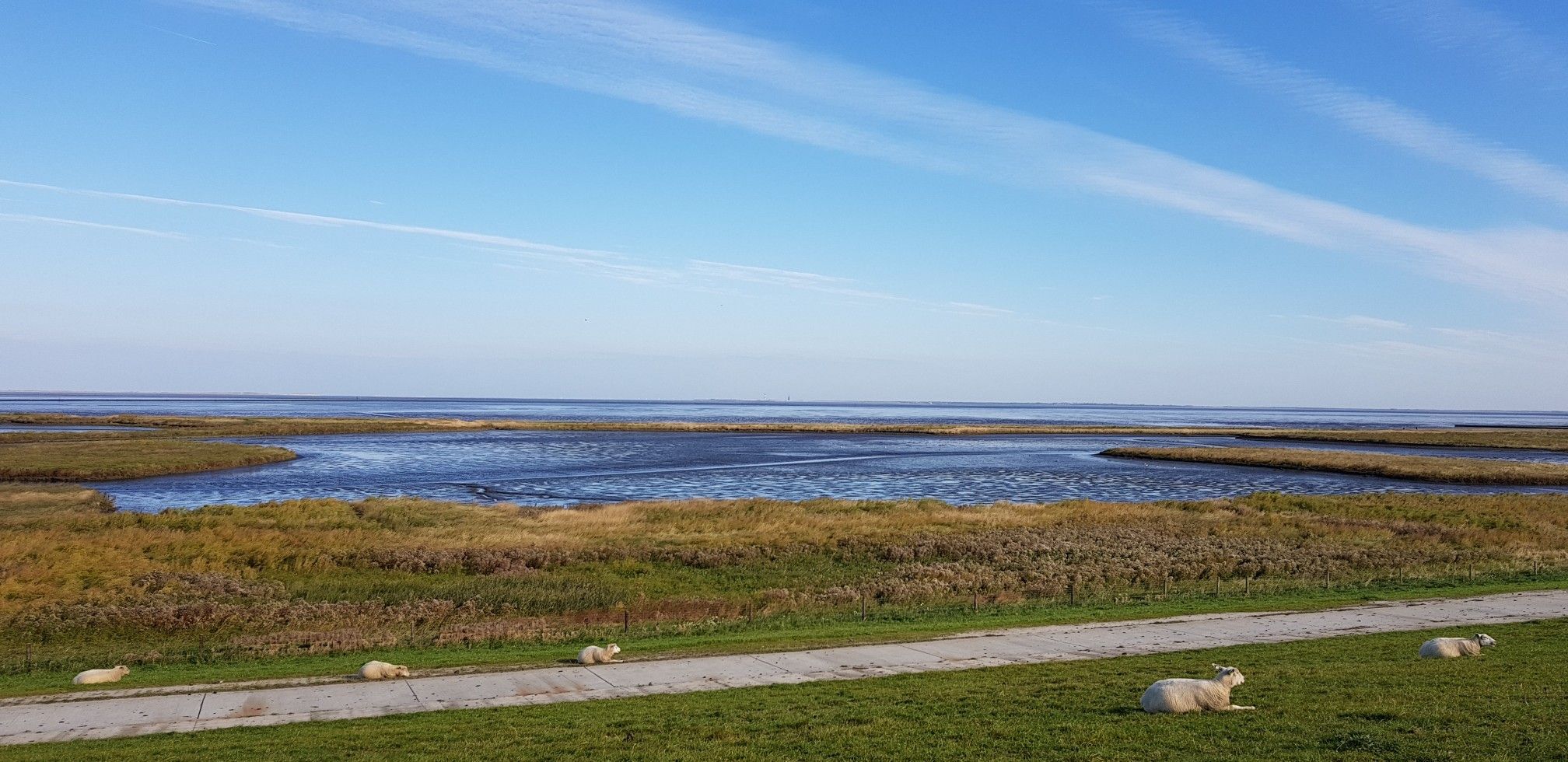
フリーズランドの一番美しい側面 — ドイツのフリーズツール
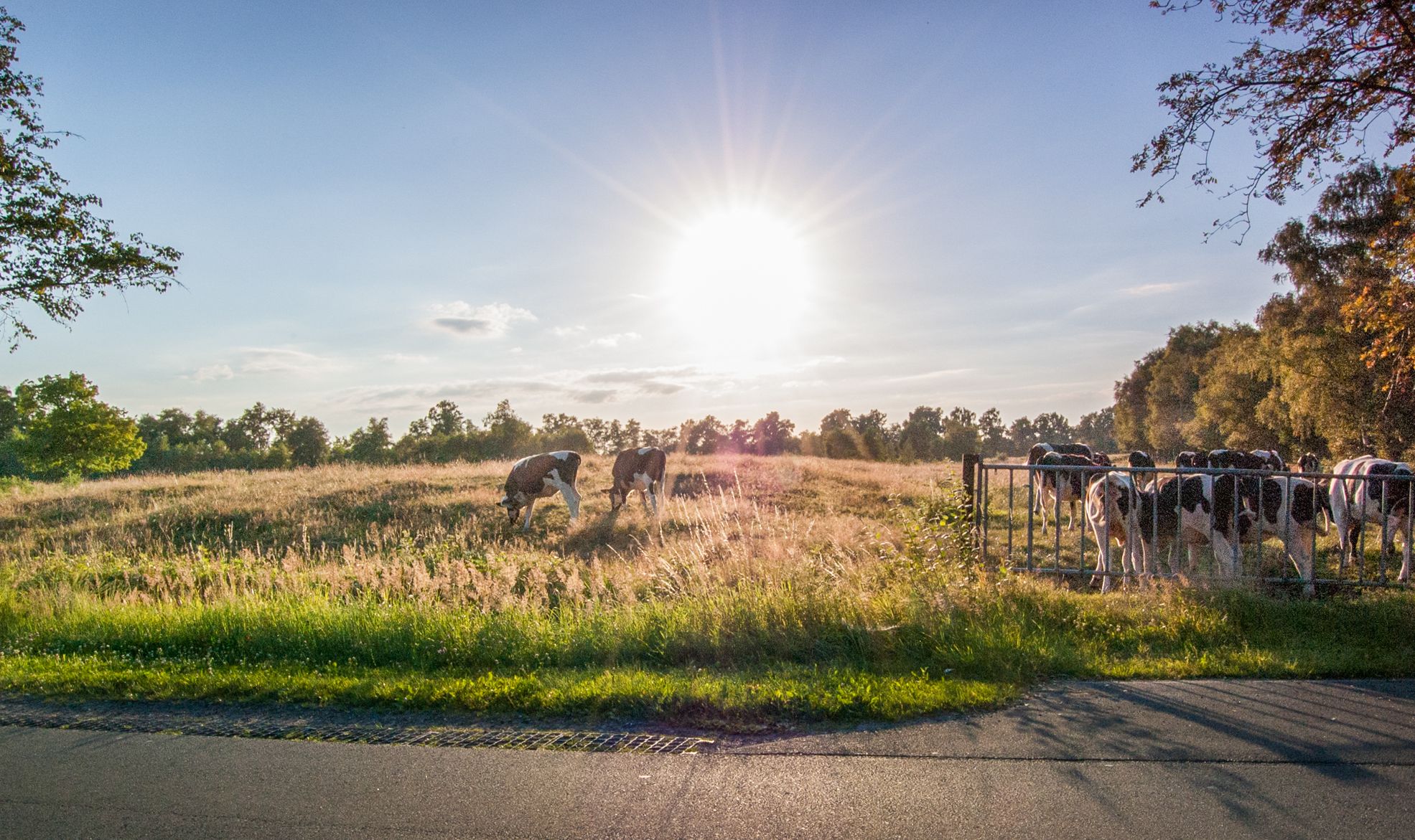
北マーランドの関書がない Ammerland の Jade トラール
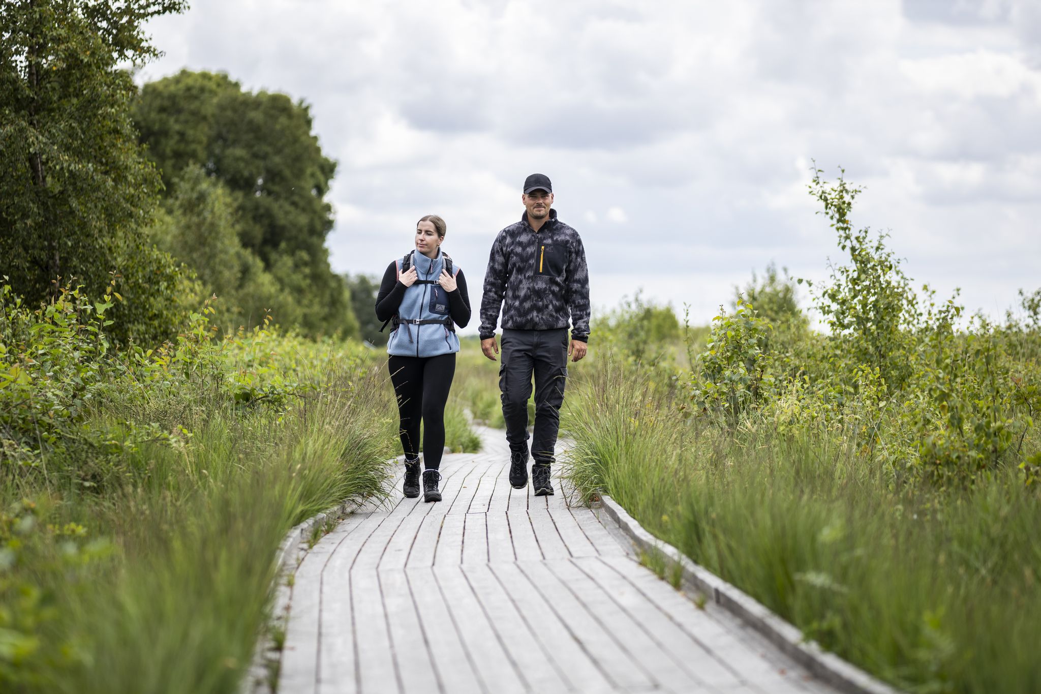
North Sea Hiking Days – between varied coast, moor & seaside towns
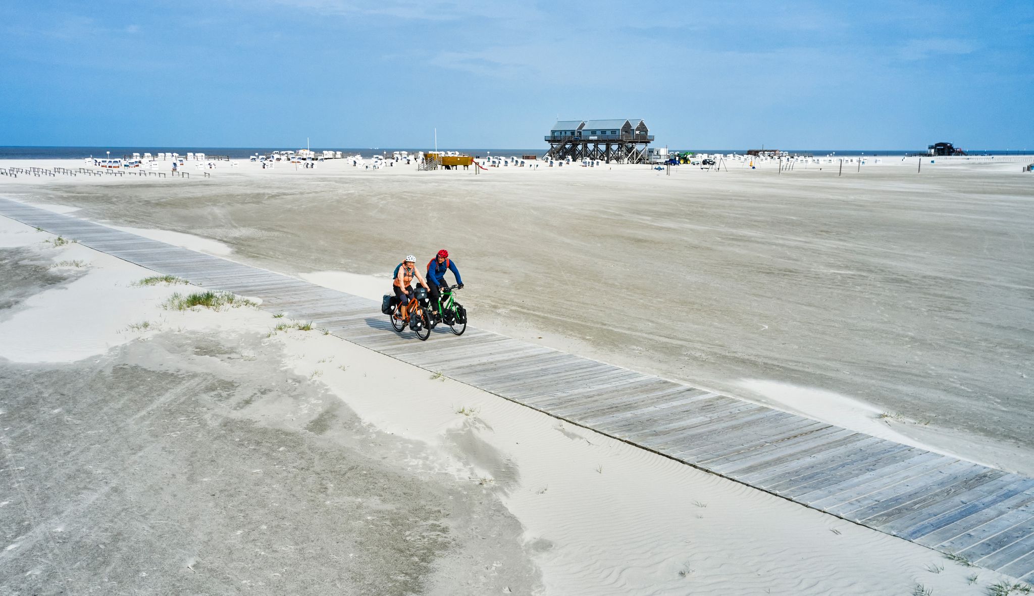
無限の自由を900キロメートルで – 北海沿岸サイクリングルート
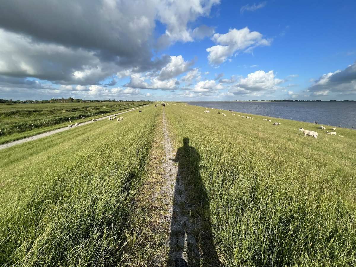
ドイツのイースト・フリジアを自転車で旅する - フリジア軍のトール
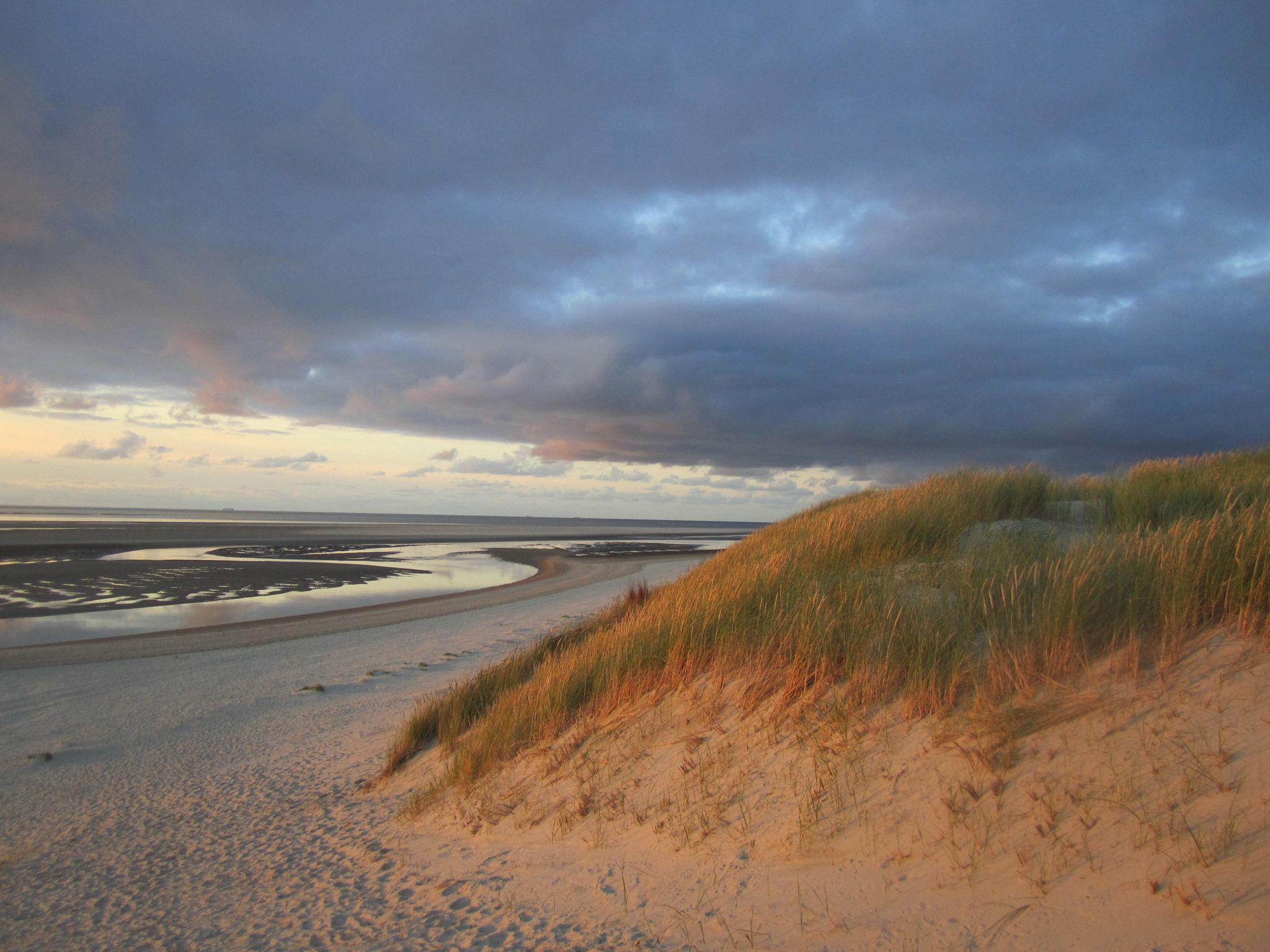
本当の浜辺愛好家向け–ドイツのステルテベッカートレイルでの長距離ハイキング
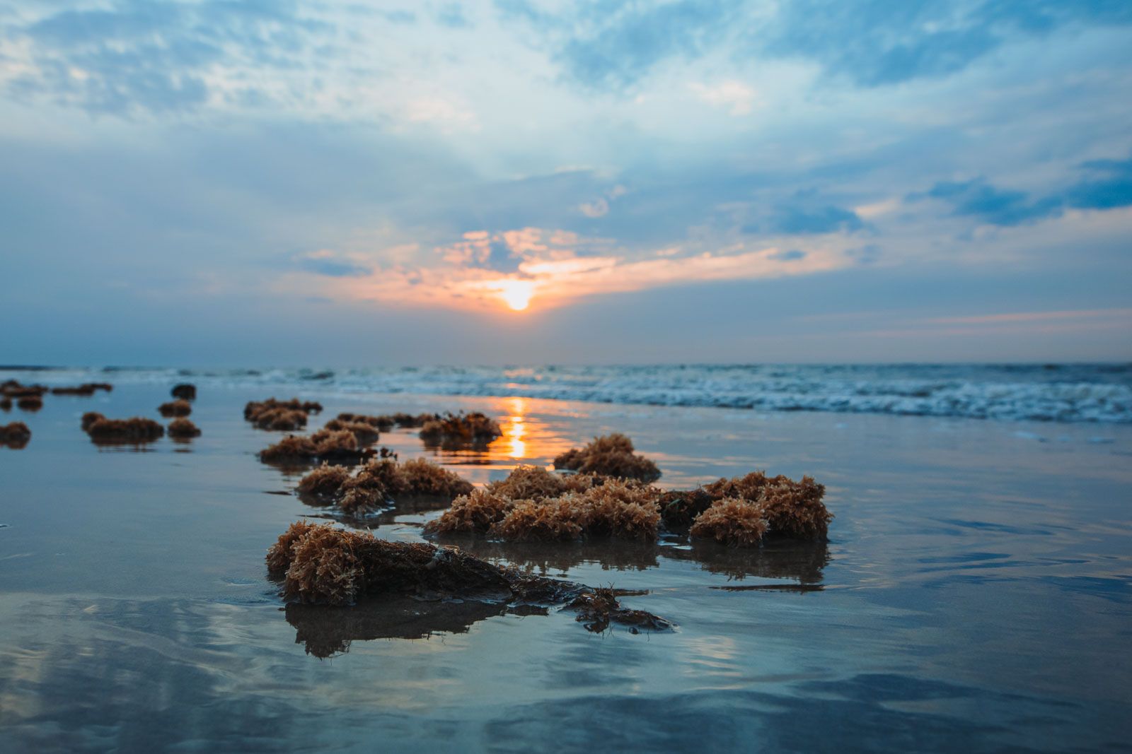
アラリアの気間がだようのアイスラウィールの公告 - グルテャースの東フォイスアイセンス島が
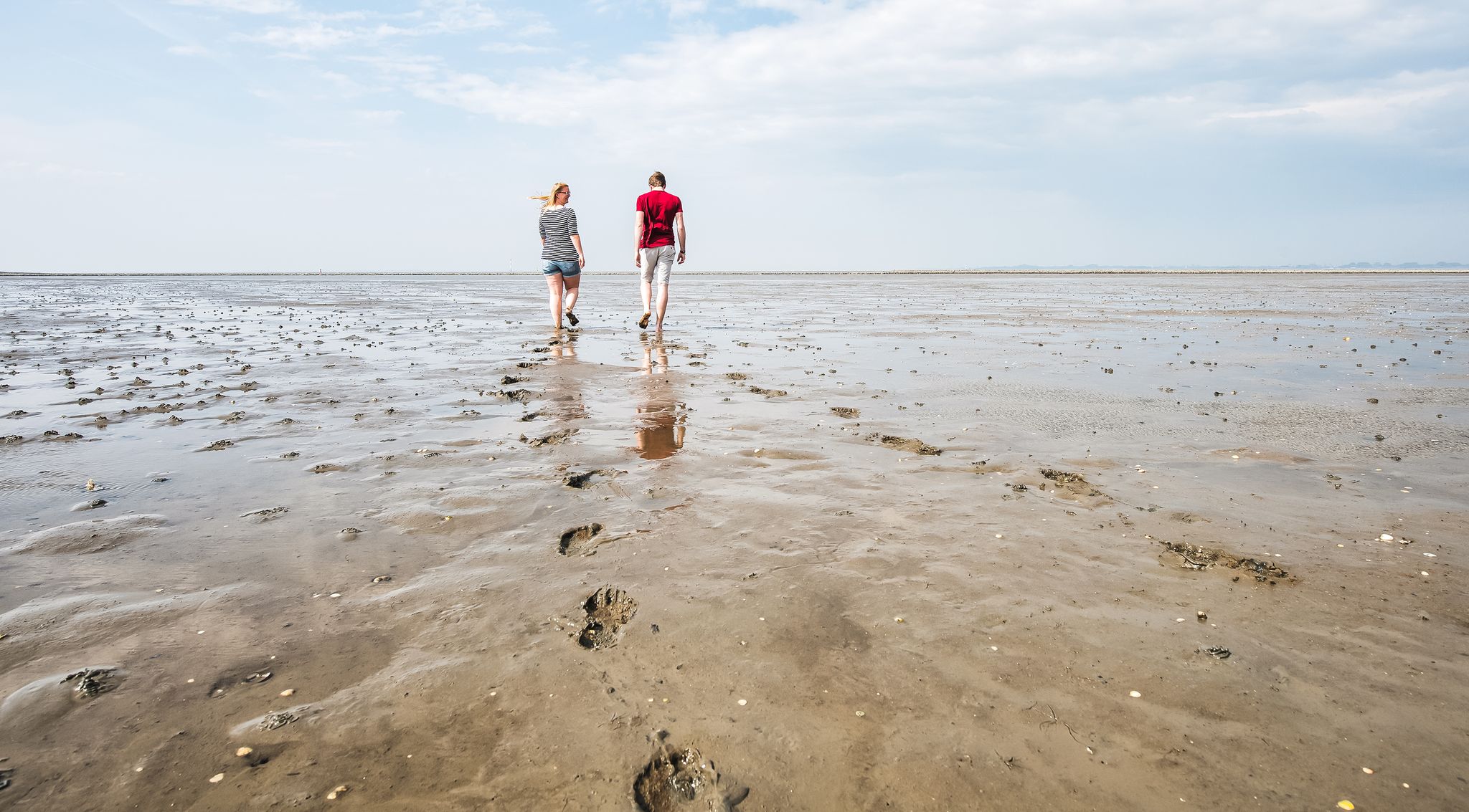
Hiking on the seabed of the North Sea year round
D-Route 1: 北海海岸ルート
家族全体向けの小さな冒険
フリースラント(地区)でのの他の冒険


コミュニティからのヒント

Promenade Bridge 250 m long (without dams), 3.50 m wide, maximum span 60 m (in the middle), clearance height approximately 7.50 m depending on water level, four viewing platforms. The substructure consists of precast concrete elements at the ends. In the middle, a steel box girder with access hatches for inspections is located over a length of 120 m. The bridge is founded on approximately 18 m long concrete piles. The pavement is made entirely of mountain larch. The railing is made of steel with a round handrail. There are 11 lamps, whose unique shape has since become the logo of the municipal company. The cost is approximately €1.7 million. Construction period: November 2007 to June 2008. See: https://www.wangermeer.de/seite/299600/promenadenbr%C3%BCcke.html
1
0
On the northern outskirts of Hohenkirchen in the Wangerland region of the North Sea, just a stone's throw from the North Sea coast, lies the Wangermeer lake. This approximately 100-hectare recreational lake has a large, round island in the middle (a closed bird sanctuary). The Wangermeer lake can be reached on foot or by bike via a promenade bridge. Many species of birds, including rare ones, have settled there over time, and a wide variety of fish have also found their habitat in the lake. The various trails along the Wangermeer lake are ideal for hiking with beautiful and varied views of the natural surroundings.
1
0

The forest lake is about 10 m deep, but is hardly inhabited by plants and animals because it is said to be acidic. Swimming is prohibited. However, the hiking trails to the Herrenneuen forest invite you to be active.
4
1
The forest lake is a great biotope that invites you to linger. There are also hiking trails to the adjacent Herrenneuen. There are also benches, although there are few of them. Pure nature.
3
0
Did you know that the forest lake was created by the construction of the A29 motorway and that the sand was recovered there? It is 10 meters deep and that is not even the deepest point, it is said to be up to 30 meters. The lake is very acidic and therefore no animals and hardly any plants live in the water. The DLRG (German Life Saving Association) has classified the lake as dangerous, which is why swimming is prohibited there. A hiking trail has been laid out around the lake which, together with the adjacent Herrenneuen forest, invites you to take long walks. (Source: https://frisch-vareliebt.de/wp-content/uploads/2021/05/Unser-Waldsee.pdf)
4
0
The lake, which is around 100 hectares in size, has a large round island in the middle that can be reached on foot and by bike via a 325-metre-long promenade bridge. The bridge is architecturally interesting and striking, and is also fitted with visually appealing lights, so that you can walk along it even in the dark.
3
0

フリースラント(地区)でのの人気ルート
フリースラント(地区)でのの人気観光スポット

komootモバイルアプリでインスピレーションを得よう


探していたものは見つかりませんでしたか?
地域ごとの最高の湖を見つけましょうフリースラント(地区)での:
さらに探索
まだ完璧な湖が見つかりませんかフリースラント(地区)での?これらの地域のガイドをチェックして、さらに美しい場所を見てみましょう。
