東アッティカのおすすめライド
4.5
(218)
7,584
ライダー
153
ライド
このガイドでご紹介するのは、komootが東アッティカでのロードバイクルートのコレクション全体を評価して選び抜いた、このエリアの人気バイクライドです。あなたに合ったものを見つけるには、以下のルートをクリックして標高データや舗装状態の分析などの細かな情報を把握し、さらにkomootコミュニティのメンバーが投稿した役立つ情報や写真も閲覧しましょう。
最終更新日: 10月 4, 2026
4.0
(2)
187
ライダー
52.3km
02:11
350m
350m
中程度のロードライド. ある程度のフィットネスレベルが必要です。 全般的に舗装状態が良好で走行しやすい道です。
4.8
(11)
132
ライダー
64.4km
03:39
1,430m
1,430m
難しいロードライド. 標準以上のフィットネスレベルが必要です。 全般的に舗装状態が良好で走行しやすい道です。

121
ライダー
141km
06:12
1,100m
1,100m
難しいロードライド. 標準以上のフィットネスレベルが必要です。 全般的に舗装状態が良好で走行しやすい道です。
5.0
(2)
87
ライダー
119km
05:08
1,010m
1,010m
難しいロードライド. 標準以上のフィットネスレベルが必要です。 ツアーの一部に、未舗装のため走行が難しい箇所があるかもしれません。
5.0
(3)
82
ライダー
67.2km
03:08
810m
810m
中程度のロードライド. ある程度のフィットネスレベルが必要です。 全般的に舗装状態が良好で走行しやすい道です。
84
ライダー
132km
05:35
920m
920m
難しいロードライド. 標準以上のフィットネスレベルが必要です。 全般的に舗装状態が良好で走行しやすい道です。
4.0
(1)
70
ライダー
53.6km
02:31
520m
520m
中程度のロードライド. ある程度のフィットネスレベルが必要です。 全般的に舗装状態が良好で走行しやすい道です。
3.5
(2)
78
ライダー
37.1km
01:33
260m
260m
初級者向けロードバイクライド. あらゆるフィットネスレベルに適しています。 全般的に舗装状態が良好で走行しやすい道です。
5.0
(2)
66
ライダー
70.1km
03:28
1,090m
1,090m
難しいロードライド. 標準以上のフィットネスレベルが必要です。 ツアーの一部に、未舗装のため走行が難しい箇所があるかもしれません。
5.0
(1)
74
ライダー
39.4km
01:53
450m
450m
中程度のロードライド. ある程度のフィットネスレベルが必要です。 ツアーの一部に、未舗装のため走行が難しい箇所があるかもしれません。
さらに多くのルートや他のユーザーのおすすめ情報を確認できます。
すでにアカウントをお持ちですか?
おすすめのツアーは他のkomootユーザーが実際に経験した何千ものアクティビティに基づいています。
無料アカウントで今日から始めよう
次の冒険が待っています。
コミュニティからのヒント


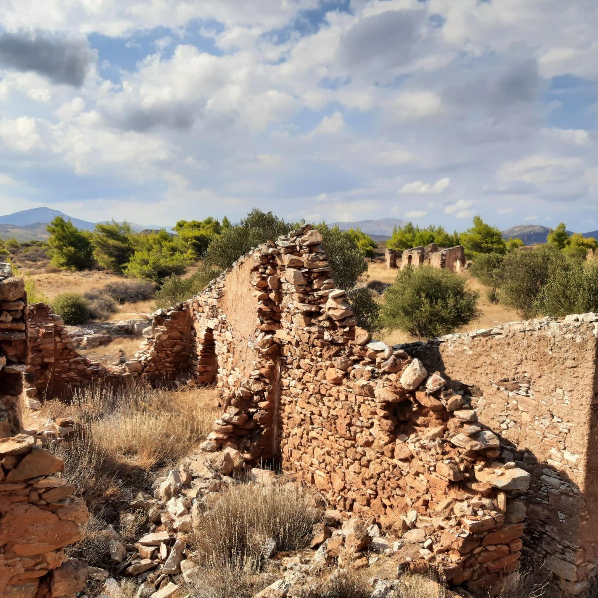
http://odysseus.culture.gr The ticket now costs €20 / €10 (reduced price).
2
0

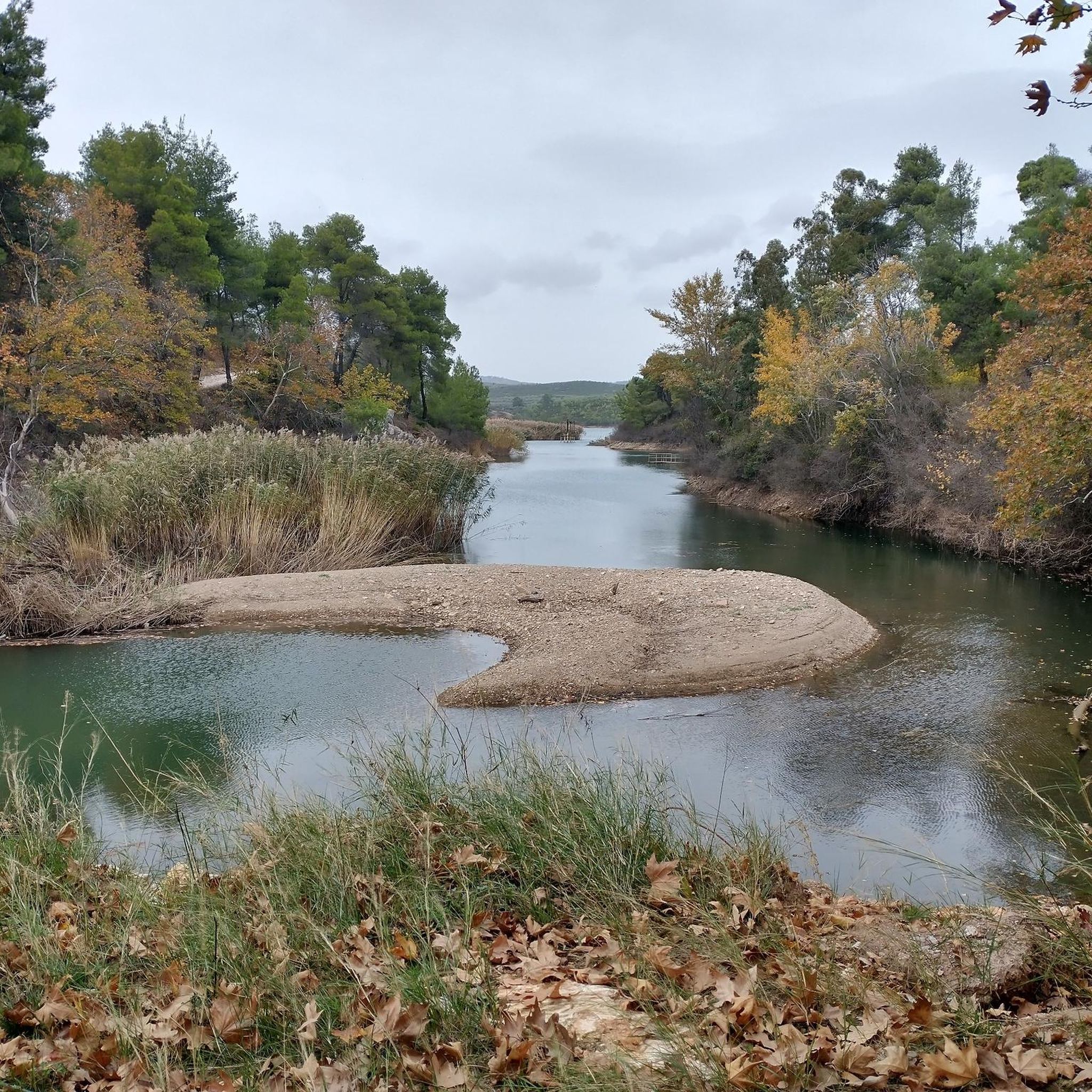
Great spot for a break and nice photos of the Dam and artificial Lake...
0
0


KM 13 of the marathon course. The Athens Marathon takes place once a year, on the second Sunday in November. It starts at the stadium in Marathon and finishes at the Panathanaiko Stadium, the old Olympic stadium in the city, which the Greeks call Kallimarmaro, meaning beautiful marble. These signs are located along the route. Additionally, the respective number is written on the road in yellow paint, and in case anyone is wondering about the blue line, it goes back to one of the sponsors, the chocolate manufacturer Pavlidis, who had the idea of marking the most direct route from stadium to stadium. Exactly 42.195 meters.
0
0
東アッティカでのの人気観光スポット

komootモバイルアプリでインスピレーションを得よう


探していたものは見つかりませんでしたか?
東アッティカの下にある他のロードサイクリングルートをチェックして、目的地で完璧なルートを見つけましょう。
さらに探索
他の地域の最高のロードサイクリングルートを見てみましょう。
