Maynardのおすすめウォーキング&ハイキングルート
4.8
(46)
730
ハイカー
107
ハイキング
メイナード周辺のハイキングでは、森、湿地帯、川岸を巡るルートが楽しめます。この地域はアサベット川と広大なアサベット川国立野生生物保護区によって特徴づけられており、そこには数多くのトレイルがあります。ほとんどのルートは比較的平坦で高低差も少ないため、初心者や家族連れでも気軽にハイキングを楽しめるエリアです。
メイナード周辺のベストハイキングトレイル
- 最も人気のあるハイキングルートは、ストウ発のアサベット川ループで、距離4.2マイル(6.7 km)、所要時間約1時間45分です。このイージールートは、アサベット川沿いの小道や隣接する森林地帯を通ります。
- 地元のハイカーに人気のもう一つのルートは、メイナード発ライス・タバーン・ルインズ・ループで、距離7.1マイル(11.4 km)の中級ルートです。このトレイルは、アサベット川国立野生生物保護区の広範囲を探索し、歴史的な見どころを通過します。
- 地元のハイカーに愛されているのは、クワーク・ウェル・サイト発ライス・タバーン・ルインズ・ループで、距離2.7マイル(4.3 km)、所要時間約1時間5分で、森や湿地帯を抜けるトレイルです。
- メイナード周辺のハイキングは、川沿いの道、森林地帯の保護区、そして広大な湿地帯によって特徴づけられます。トレイルネットワークは、短くてアクセスしやすい散策路と、より長く中級のハイキングの両方のオプションを提供します。
- メイナードのルートは、komootコミュニティから高く評価されており、30件以上のレビューで平均4.8つ星を獲得しています。700人以上のハイカーがkomootを利用して、メイナードの多様な地形を探索しました。
最終更新日: 9月 1, 2026
16
ハイカー
5.19km
01:20
20m
20m
Embark on an easy hike along the Puffer Pond Loop, a peaceful 3.2-mile (5.2 km) route through the Assabet River National Wildlife Refuge. You will experience varied scenery as the…
6.32km
01:38
30m
30m
Hike the easy 3.9-mile Assabet River Rail Trail, gaining 110 feet in 1 hour 37 minutes, with river views and wildlife opportunities.

無料新規登録
15
ハイカー
7.90km
02:02
40m
40m
中程度のハイキング. ある程度のフィットネスレベルが必要です。 進みやすいルートです。あらゆるスキルレベルに適しています。
10
ハイカー
10.2km
02:37
50m
50m
中程度のハイキング. ある程度のフィットネスレベルが必要です。 進みやすいルートです。あらゆるスキルレベルに適しています。
5
ハイカー
6.74km
01:44
30m
30m
初級者向けハイキング. あらゆるフィットネスレベルに適しています。 進みやすいルートです。あらゆるスキルレベルに適しています。
さらに多くのルートや他のユーザーのおすすめ情報を確認できます。
無料新規登録
すでにアカウントをお持ちですか?
おすすめのツアーは他のkomootユーザーが実際に経験した何千ものアクティビティに基づいています。
無料アカウントで今日から始めよう
次の冒険が待っています。
ログインまたは登録



コミュニティからのヒント

The Assabet River has had various names throughout history, derived from the Algonquin word for the place where fishing net materials are obtained. Different cultures have also given it other names like Assabeth, Asabet, Elizabeth, Elizabet, and more.
0
0

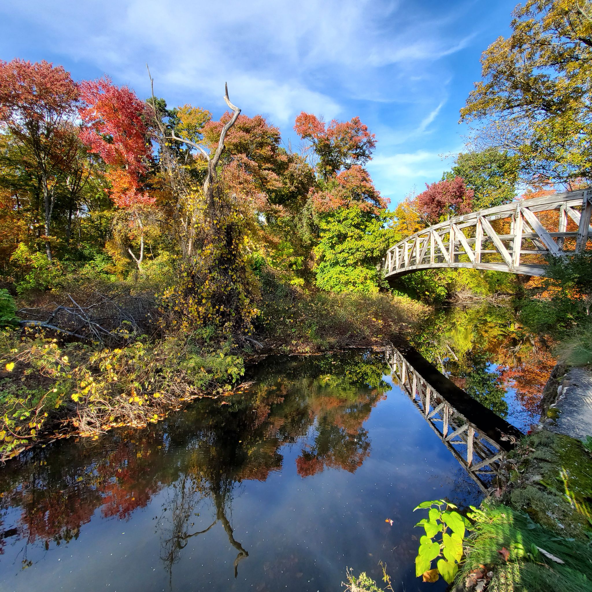
There is a footbridge that crosses over Mill Pond and offers views from both sides of the bridge. The reservoir is sometimes referred to as Fort Pond Brook Reservoir because of the stream that feeds it, but the official name is Mill Pond.
0
0

Lots of trails with old ammunition bunkers (see photos), lakes, and forest. Easy, flat hiking good for any length. Parking is available at multiple locations along the road in the park. Visitor's center is closed at the moment, but restrooms are available there.
0
0

The Assabet is a "working river" and observed from above, it seems to be stapled to the landscape by bridges. Over its 31-mile route, more than 40 bridges span it.
0
0

Ruins of 18th-century tavern on colonial road between Marlborough and Concord.
1
0
around Maynardの人気観光スポット

komootモバイルアプリでインスピレーションを得よう


さらに探索
他の地域の最高のハイキングを見てみましょう。
