オーバーエスターライヒの峠・トップ20
最終更新日: 11月 9, 2026
ヘングストパス
ハイライト • 山道
翻訳者 Google •
役立つ情報 は

コーブルベルク峠(1,044m)
ハイライト • 山道
翻訳者 Google •
役立つ情報 は

今すぐサインアップして、こんな場所を発見しよう
最高のシングルトラック、ピーク、その他のエキサイティングなアウトドアスポットのおすすめを受け取ろう。
ピルン峠
ハイライト • 山道
翻訳者 Google •
役立つ情報 は

パス・グシュット(969m)
ハイライト • 山道
翻訳者 Google •
役立つ情報 は

コッペン峠
ハイライト (セグメント) • 山道
翻訳者 Google •
役立つ情報 は

オーバーハーグ クライム
ハイライト (セグメント) • 登山
翻訳者 Google •
役立つ情報 は
レオンハルダー・ベルク
ハイライト • 山道
翻訳者 Google •
役立つ情報 は

オーバーエスターライヒ州で最も標高の高い峠を越えて
ハイライト (セグメント) • 山道
翻訳者 Google •
役立つ情報 は
グムンドナーベルク–グラスベルク交差点
ハイライト • 山道
翻訳者 Google •
役立つ情報 は

フライシュバンクザッテル
ハイライト • 山道
翻訳者 Google •
役立つ情報 は

無料でサインアップして、さらに多くの山道を発見しましょう オーバーエスターライヒでの。
すでにアカウントをお持ちですか?
無料アカウントで今日から始めよう
次の冒険が待っています。
オーバーエスターライヒ周辺で人気

Beyond the pavement – explore Austria's wild nature on a gravel bike
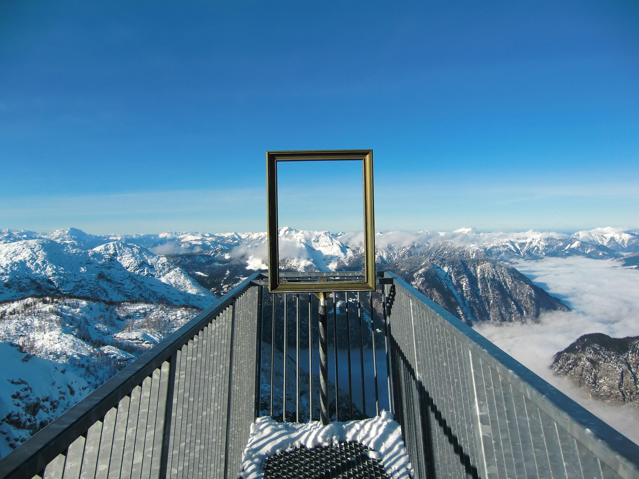
#Winterlove — 14 tips for your winter adventure in Austria
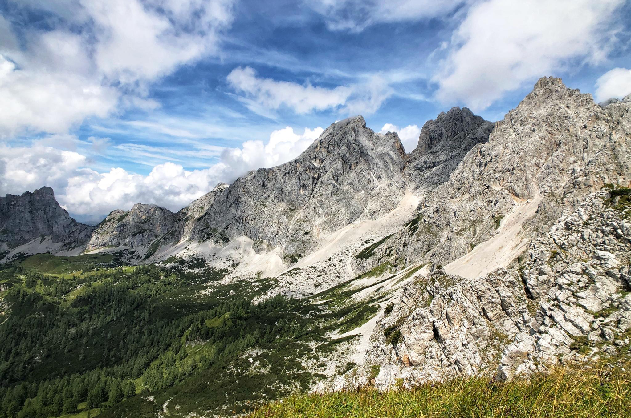
八日間のダックスタイン山地 – ダックスタイン・ルントヴァンデルヴェーク
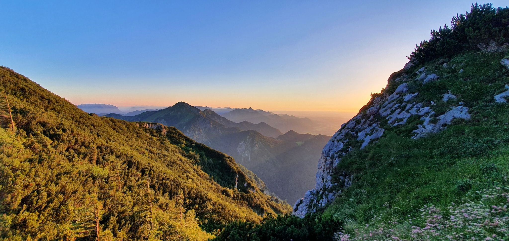
白い金の跡を追う:ザルツ・アルペンシュタイグ
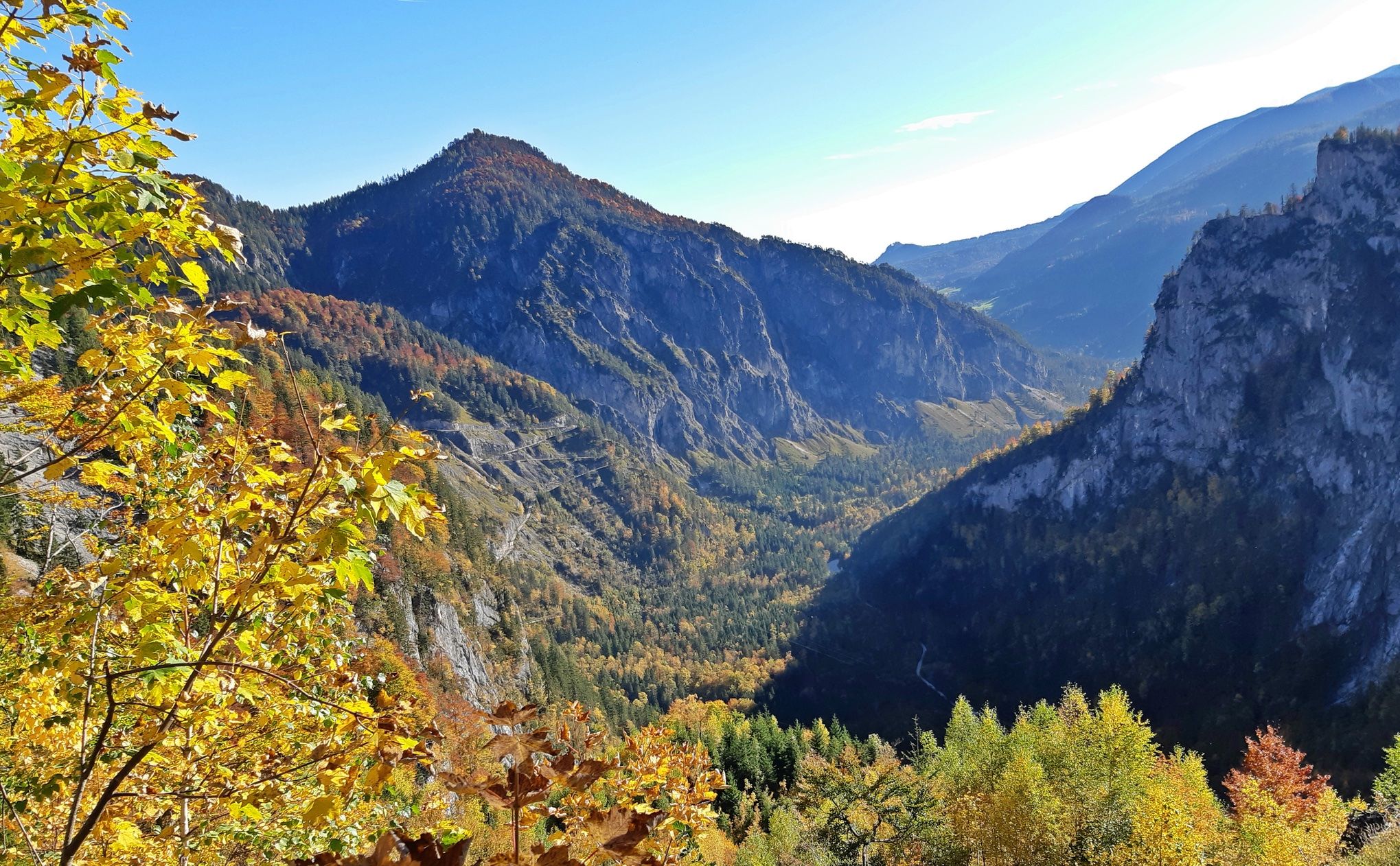
アルタアストャースの上アイブリアドルが— サルトラルック
オーストリアのミュールフィアルテル自転車道の丘陵のアイディア
オーストリアのボヘミア森林からカルニックアルプスまでのハイキング - ルペルティトレイル
オーストリアを49日間でハイキング - 北アルプストレイル01
アースリアールドルックルーランドがないません - バートの路後
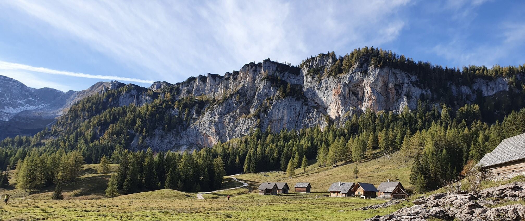
巨大な岩とアルペスの草原 - オーストリアのカルカルペン・トレイルを発見してください
オーバーエスターライヒでのの他の冒険


コミュニティからのヒント


The highest paved mountain pass in Upper Austria is the [Koblbergpass] (Koblbergpass), located at an altitude of 1,044 metres above sea level. It lies entirely within the municipality of Liebenau, in the Mühlviertel region, near the border with Lower Austria. It connects the centre of Liebenau (at approx. 970 metres) with the hamlet of Liebenstein (at approx. 986 metres). Near the pass is the famous granite rock formation known as "Fuchs'n-Lucka", a much-loved destination for short walks and excursions.
0
0
オーバーエスターライヒ州で最も高い舗装された峠は、海抜1044メートルの[コブルベルクパッス](Koblbergpass)です。 峠の詳細 場所:ミュールフィアテル地方のリーベナウ市内にあり、ニーダーエスターライヒ州との国境近くに位置しています。 ルート:リーベナウの中心部(約970メートル)とリーベンシュタインの集落(約986メートル)を結んでいます。 近くの観光スポット:峠の近くには、「フクスンルッカ」として知られる有名な花崗岩の岩があり、短い散歩やハイキングに人気の場所です。
0
0

パスで一日中デッキチェアに座って、自転車やバイクに乗る人々を眺めていたいと思います。 このパスがどれほど人気があるか、そしてそれを乗り越えるすべての人に敬意を表します。
0
0

太陽と30度で真の性格テスト:ほぼ一定の8〜10パーセントで、一切のヘアピンカーブのないまっすぐな道...!
0
0


Above all, reaching the top of the pass is a real highlight
1
0

The Pyhrn Pass is an impressive mountain pass in Austria, located at an elevation of 954 m above sea level. Here are some interesting facts about the Pyhrn Pass: Location: It lies on the border between the Austrian federal states of Upper Austria in the north and Styria in the south. Geographical features: The pass separates the Totes Gebirge mountain range in the west from the Haller Mauern mountain range in the east and is part of the Northern Limestone Alps of the Pyhrn-Eisenwurzen region. Transport links: The Pyhrn Pass connects the towns of Spital am Pyhrn and Liezen, making it an important north-south route. Historical significance: It is the lowest Alpine pass in the Eastern Alps and was already in use in ancient times.
3
0
オーバーエスターライヒでのの人気ルート

komootモバイルアプリでインスピレーションを得よう


探していたものは見つかりませんでしたか?
地域ごとに整理されたさらに素晴らしい山道を見つけましょうオーバーエスターライヒでの:
