アルゴイの絶景の山頂・トップ20
絶景を目指して登るのであれ、達成感のために登るのであれ、山頂を訪れることで、アルゴイの美しい自然をもっと満喫することができます。20
もの選択肢の中から、制覇する山頂を決めるのは簡単ではありません。スムーズに次の冒険で目指す山頂を選べるように、アルゴイの素晴らしい山頂をこのガイドにまとめました。
最終更新日: 10月 17, 2026
フェルンホルン山頂
ハイライト • 山頂
翻訳者 Google •
役立つ情報 は

グリュンテン山頂
ハイライト • 山頂
南側の休憩場所:Schwandalpe、Grüntenhaus、Berggasthof Alpenblick、Alpe Weiherle
北側の休憩場所:Grüntenhütte、Alpe Kammeregg
翻訳を表示中
役立つ情報 は

今すぐサインアップして、こんな場所を発見しよう
最高のシングルトラック、ピーク、その他のエキサイティングなアウトドアスポットのおすすめを受け取ろう。
フェルンホルン–シュラッポルテック稜線トレイル
ハイライト (セグメント) • トレイル
Beautiful views of the Kleinwalsertal and on the other side in the Stillachtal and …
翻訳者 Google •
役立つ情報 は

ガイスアルペ山小屋
ハイライト • 山小屋
managed
翻訳者 Google •
役立つ情報 は

イーゼラー山頂
ハイライト • 山頂
The view of the surrounding mountain landscape is huge. The path to the Iseler summit requires not only certain surefootedness.
翻訳者 Google •
役立つ情報 は

ルビホルン山頂
ハイライト • 山頂
翻訳者 Google •
役立つ情報 は

オフタースヴァンガー・ホルン山頂からの眺め
ハイライト • 山頂
翻訳を表示中
役立つ情報 は

ネーベルホルン山頂
ハイライト • 山頂
翻訳者 Google •
役立つ情報 は

オストラー・ヒュッテ
ハイライト • 山小屋
翻訳者 Google •
役立つ情報 は

ブライテンベルク山頂
ハイライト • 山頂
翻訳者 Google •
役立つ情報 は

無料でサインアップして、さらに多くの山を発見しましょう アルゴイでの。
すでにアカウントをお持ちですか?
無料アカウントで今日から始めよう
次の冒険が待っています。
アルゴイ周辺で人気

ドイツを周りをトライアスロン
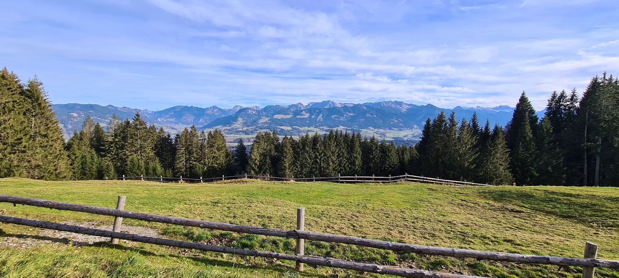
Allgäu Panorama Marathon – Ultra: 二日間トレイルランニングアドベンチャー

アウグスブルガー・ヤコブスウェグを通じてバイエルン=シュワーベンを通る
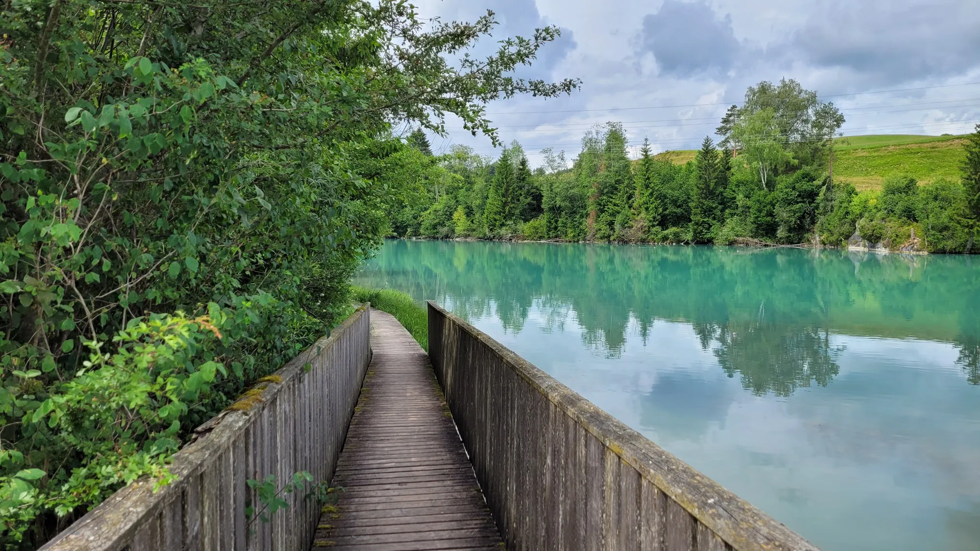
レッヒエルレブニスヴェーグ - ランツベルクからフッセンへの数日間のツアー

スタインボックツーア拡大版 – アルゲーアルペスの貫通

アイコニックな水辺沿い - メイン・ドナウ・ボーデンズーの湖トレイル
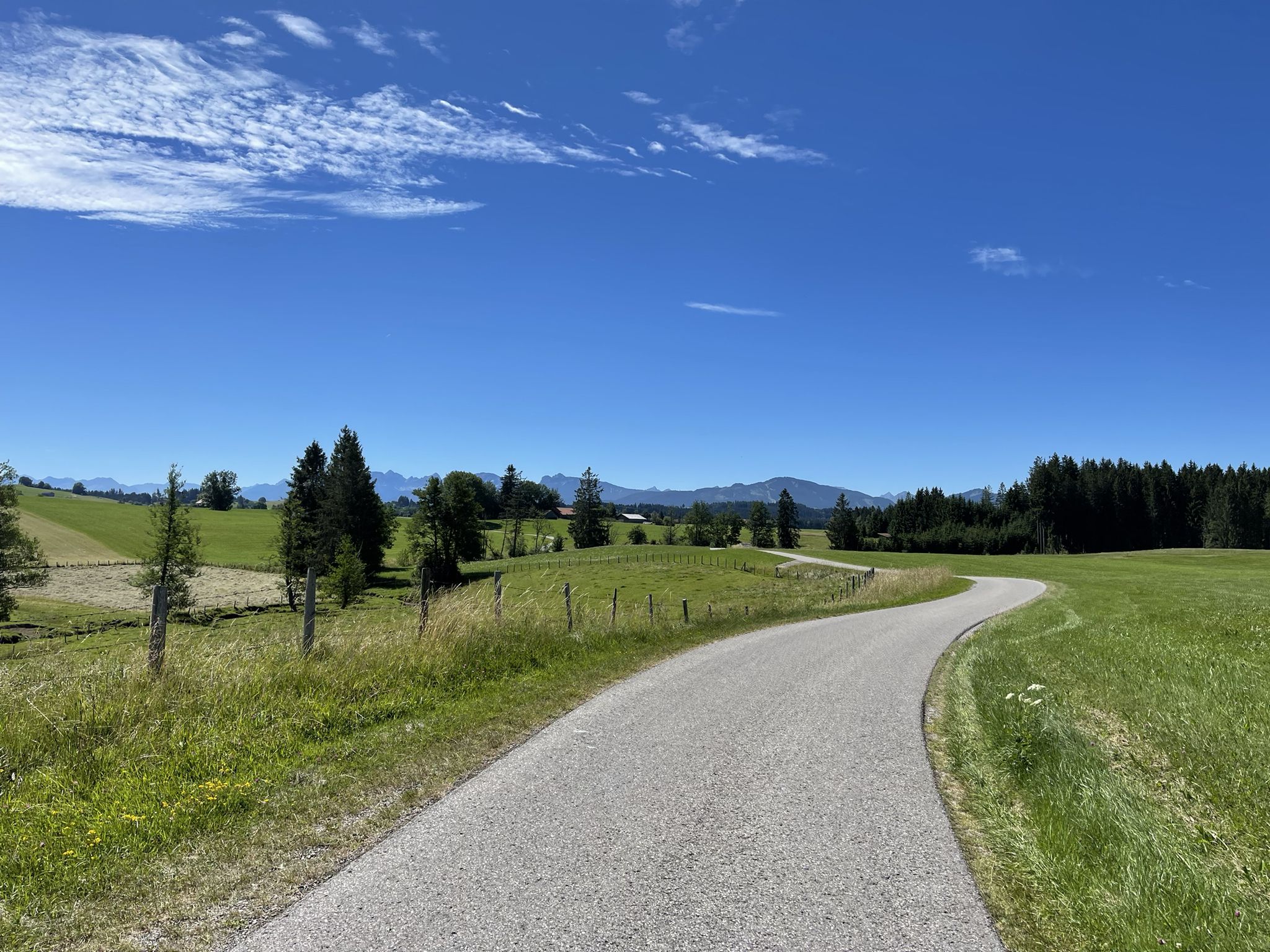
アウクスブルクからアルゴイアルプスへのハイキング

ボーデンザーからケーニッヒゼーまで、マクシミリアンスウェグを通って

ローランドルダインスラールの南の三國のプロールに

アルゴイ地方の最高峰 – オーバーアルゴイ地方周遊
アルゴイでのの他の冒険


コミュニティからのヒント

After the final short climb, you can now enjoy the view from the summit cross. Three benches and tables invite you to enjoy a snack on the mountain. If the weather is nice, you can also take a break directly on the meadow.
4
0

The summit of the Nebelhorn is usually crowded with people for the obligatory photo with the summit cross at 2,224 m. When there's no fog, there's a fantastic panoramic view! 😄
6
0

The hike to the Rubihorn is well signposted and marked, but requires surefootedness and a head for heights, especially from Gaisalpsee, where the trail becomes increasingly steep and exposed in places. Some sections are secured with wire ropes.
24
0

Unfortunately, the Iseler is usually completely overcrowded thanks to the cable car underneath
4
0

The steep gravel path up is torture, but the view is worth it.
4
0

The 1838 meter high Breitenberg near Pfronten is a relatively easy mountain to climb, and from the summit it offers a beautiful view down into the Allgäu. Several paths of varying steepness lead up in 2 - 2.5 hours, a complete crossing takes about 5 hours. An easy and long path starts on the west side north of the German-Austrian border. It is even easier to take the cable car to the saddle between Breitenberg and Aggenstein. The Ostlerhütte is right on the summit. On the steep north side is the Tirolerstadl and behind it a challenging path to the summit. In winter there is a ski area on the Breitenberg. Source: https://allgaeu-erleben.com/0404-breitenberg.php
4
0


Very nice alp with delicious food 😎 and a great view. A wide variety of tours can be started here
7
0

komootモバイルアプリでインスピレーションを得よう


探していたものは見つかりませんでしたか?
アルゴイの最高の山や頂上を地域ごとに発見しましょう:
さらに探索
これらのガイドでさらに素晴らしい頂上を見てみましょうアルゴイでの:
