アレッチヴァルトのおすすめ登山&山歩きルート
4.9
(53)
322
ハイカー
27
ハイキング
ÖstlichRaronの山々をもっと探索しませんか?このガイドでご紹介するのは、komootがアレッチヴァルトでの登山&山歩きのコレクション全体を評価して選び抜いた、このエリアの人気ルートです。あなたに合ったルートを見つけるには、他のユーザーがアップロードした役立つ情報や写真を閲覧し、クリック操作で簡単に表示できる詳細なデータを参考にしましょう。アレッチヴァルトでの次の冒険にぴったりの登山&山歩きルートが見つかるはずです。
最終更新日: 9月 17, 2026
5.0
(9)
41
ハイカー
19.3km
07:14
930m
930m
難しい登山ルート. 標準以上のフィットネスレベルが必要です。 安定して歩行できる技術、丈夫な靴、高標高地での登山経験が必要です。
5.0
(2)
26
ハイカー
3.45km
02:24
140m
150m
難しい登山ルート. ある程度のフィットネスレベルが必要です。 安定して歩行できる技術、丈夫な靴、高標高地での登山経験が必要です。

5.0
(1)
4
ハイカー
7.62km
02:37
400m
400m
中程度の登山ルート. ある程度のフィットネスレベルが必要です。 全般的に進みやすいルートです。安定して歩行できる技術が必要です。
4.0
(1)
8
ハイカー
9.55km
04:10
630m
630m
中程度の登山ルート. ある程度のフィットネスレベルが必要です。 全般的に進みやすいルートです。安定して歩行できる技術が必要です。
5.0
(1)
7
ハイカー
11.8km
05:02
790m
790m
難しい登山ルート. 標準以上のフィットネスレベルが必要です。 安定して歩行できる技術、丈夫な靴、高標高地での登山経験が必要です。
さらに多くのルートや他のユーザーのおすすめ情報を確認できます。
すでにアカウントをお持ちですか?
おすすめのツアーは他のkomootユーザーが実際に経験した何千ものアクティビティに基づいています。
無料アカウントで今日から始めよう
次の冒険が待っています。

コミュニティからのヒント

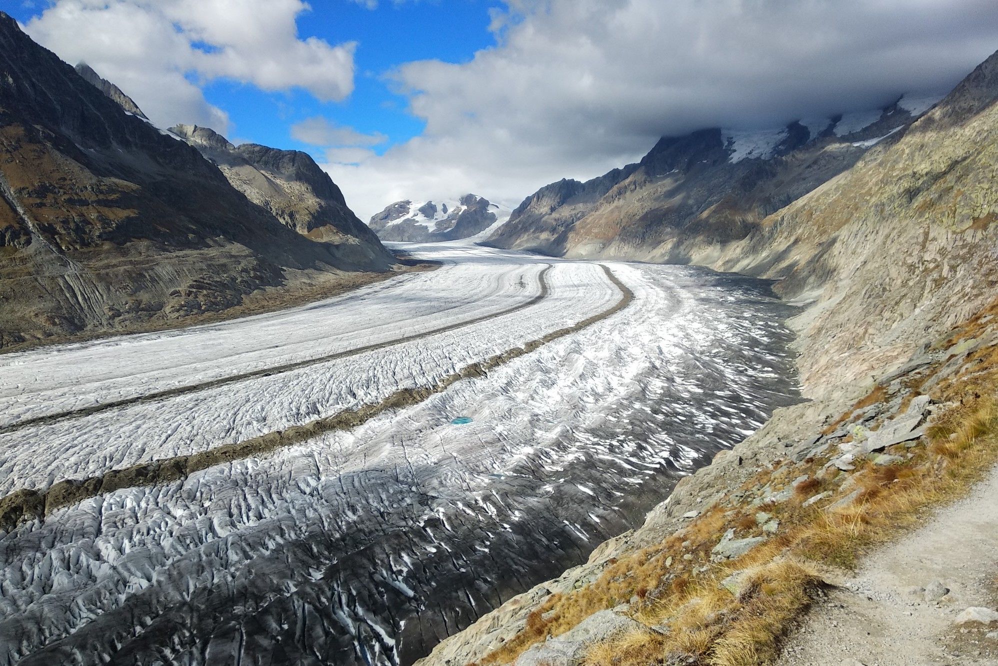
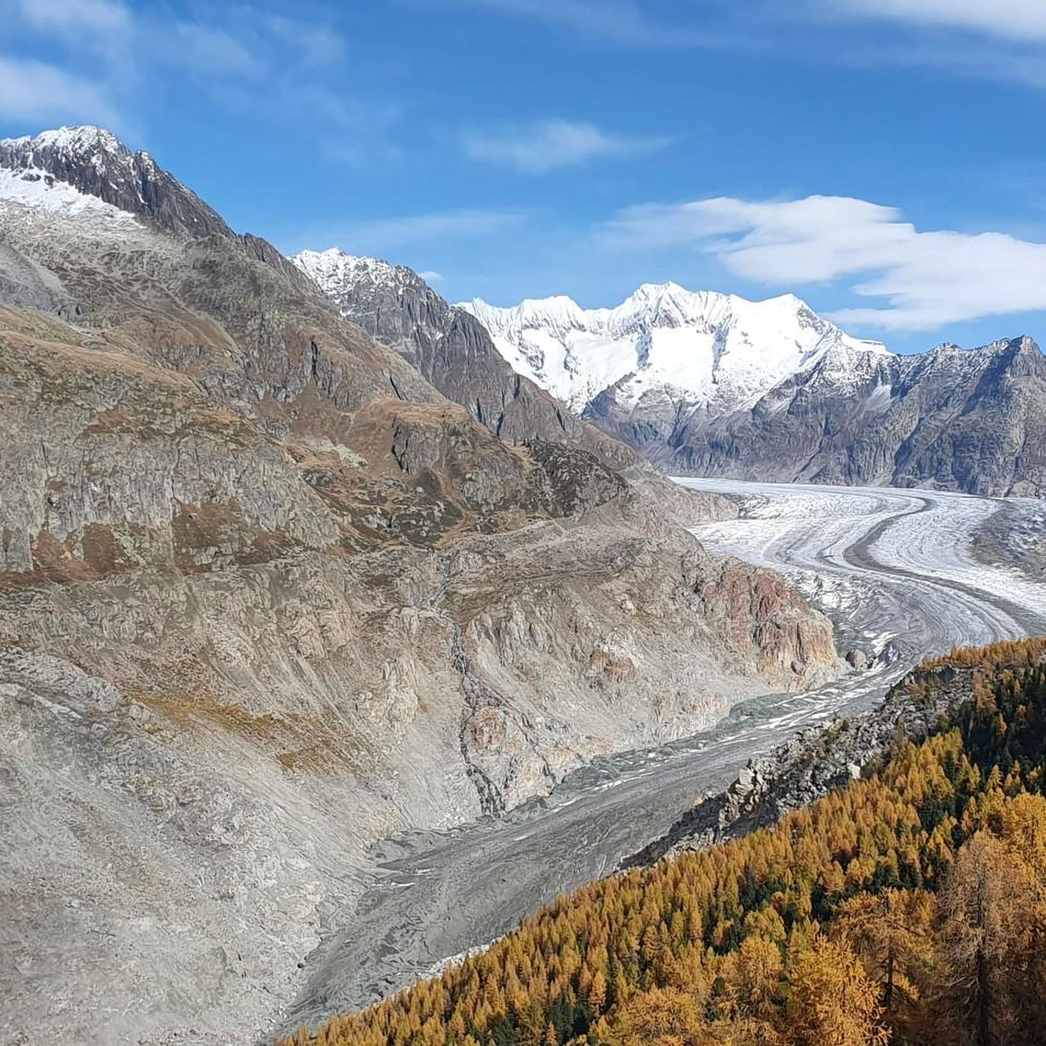
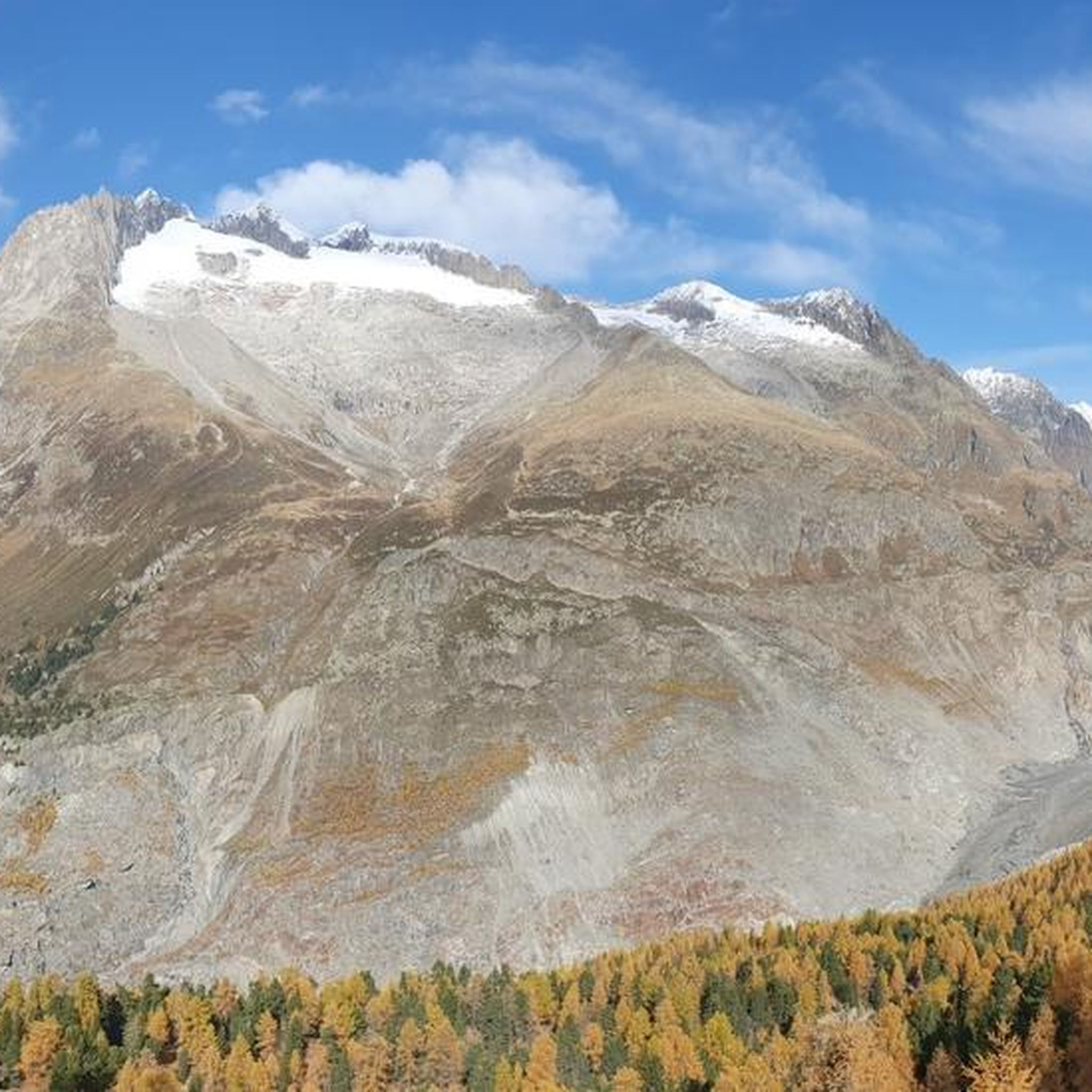
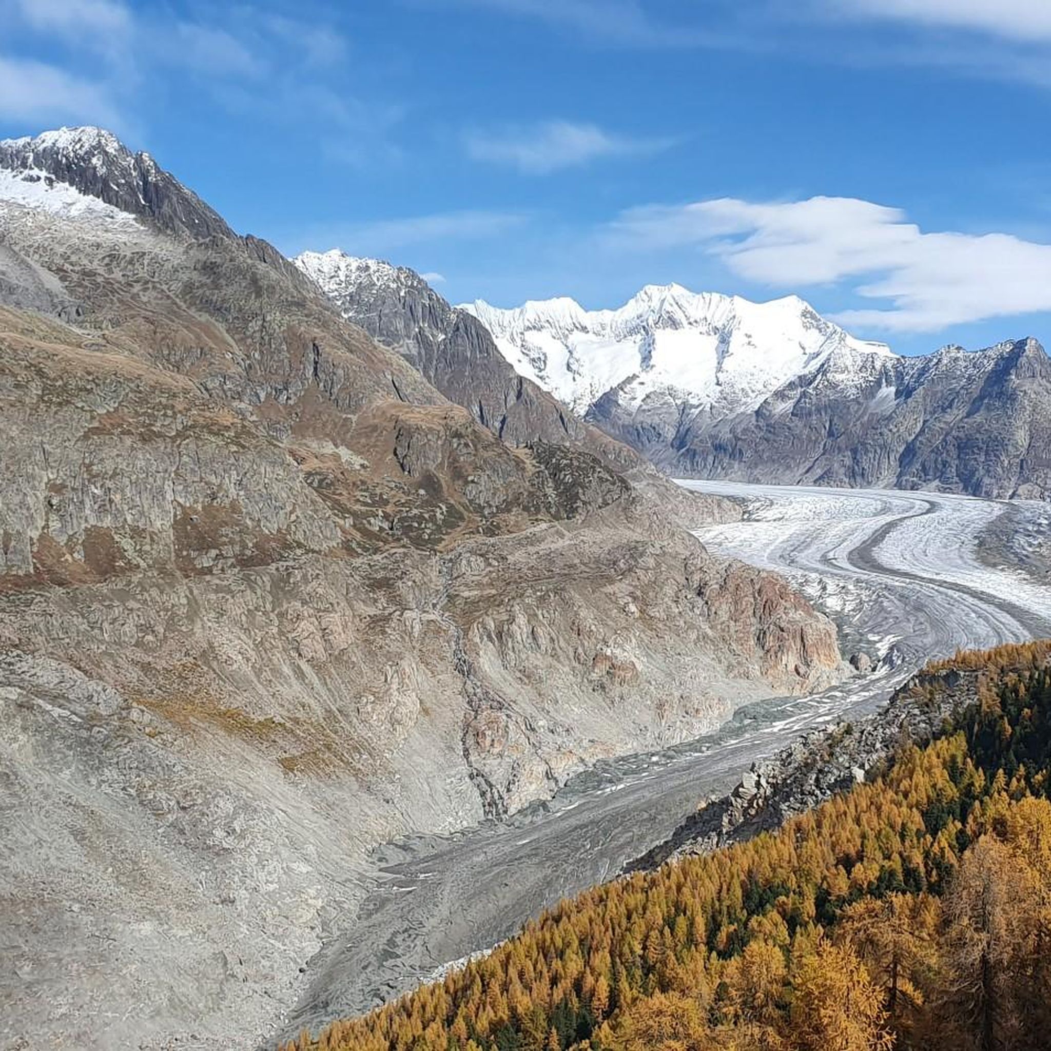
ベットマーホルン山頂(標高2,858m)からは、アレッチアレーナの高山地帯の素晴らしいパノラマが楽しめます 😍🏔️。山頂からは、巨大なグロッセ・アレッチ氷河 ❄️💙や、ベルナーアルプス、ヴァリスアルプスの数多くの雪を頂いた峰々を望むことができます。 山頂駅から山頂への登りは、岩が多く高山地帯の地形を進みます 🥾🪨。足元の確実さと高所での落ち着きが必要です。頂上に到着すると、壮大な眺めと本当の山頂気分を味わうことができます ⛰️✨。 📸 眼下に広がる岩、氷河、山々 – グロッセ・アレッチ氷河の上にある美しい展望ポイントです! 😍❄️🏔️
0
0


ライダーフュルカでは、グロッサー・アレッチ氷河を見渡す広大な高地にたどり着きます。同時に、自然と歴史の特別な場所でもあります。ここには、特徴的なカッセル・ヴィラとプロ・ナトゥラ・センターがあります。
0
0
山頂までの道のりも価値があります。山頂駅からはアレッチ氷河の印象的な眺めが楽しめます。スタート前に、無料の体験展示「Gletscherwelt Bettmerhorn」に少し時間を取ってください。これは、外に広がる風景へのエキサイティングな導入となるでしょう。
2
0

Anyone hoping for glacier views from the name "Aletsch Via Ferrata" ❄️ will be disappointed – because the route runs several kilometers below the Aletsch Glacier in the Massa Gorge. Instead, it offers a completely different experience: a circular route directly around the Gibidum Reservoir (1,436 m) 🌊, often extremely airy directly above the water! The approximately 3 km long tour leads through varied forest paths 🌲, walking terrain, and steep rock faces. Particularly impressive are the passages directly on the cliff edge above the water's surface – exposed, but well secured with footholds 🔗. The highlight is the approximately 80 m long Nepal Bridge 🌉, which crosses the lake at a height of almost 50 m – pure adrenaline! 😮 The route is mostly easy to moderately difficult (A-B, in places B/C) and is therefore also doable for motivated beginners if you don't suffer from vertigo. The loop ends back at the starting point at the reservoir. ⚠️ Please note: The via ferrata may be closed at short notice depending on the lake's water level!
1
0
Anyone hoping for glacier views from the name "Aletsch Via Ferrata" ❄️ will be disappointed – because the route runs several kilometers below the Aletsch Glacier in the Massa Gorge. Instead, it offers a completely different experience: a circular route directly around the Gibidum Reservoir (1,436 m) 🌊, often extremely airy directly above the water! The approximately 3 km long tour leads through varied forest paths 🌲, walking terrain, and steep rock faces. Particularly impressive are the passages directly on the cliff edge above the water's surface – exposed, but well secured with footholds 🔗. The highlight is the approximately 80 m long Nepal Bridge 🌉, which crosses the lake at a height of almost 50 m – pure adrenaline! 😮 The route is mostly easy to moderately difficult (A-B, in places B/C) and is therefore also doable for motivated beginners if you don't suffer from vertigo. The loop ends back at the starting point at the reservoir. ⚠️ Please note: The via ferrata may be closed at short notice depending on the lake's water level!
0
0

アレッチヴァルトでのの人気観光スポット

komootモバイルアプリでインスピレーションを得よう


さらに探索
他の地域の最高の登山ハイキング & ルートを見てみましょう。
