クルモック水のおすすめランニングルート
4.3
(71)
8,428
ランナー
180
ランニング
クルモック水でランニングを楽しめば、このエリアをより深く知ることができます。ランニングに適した美しいルートが見つかるように、komootがクルモック水でのルートのコレクション全体を評価して選び抜いた、人気ランニングトレイルをご紹介します。ルートをクリックして詳細を表示し、他のユーザーがアップロードした役立つ情報や写真を閲覧しましょう。
最終更新日: 10月 11, 2026
34
ランナー
8.21km
01:26
610m
610m
難しいジョギング. 標準以上のフィットネスレベルが必要です。 安定して歩行できる技術、丈夫な靴、高標高地での登山経験が必要です。
30
ランナー
9.93km
02:10
750m
750m
難しいジョギング. 標準以上のフィットネスレベルが必要です。 安定して歩行できる技術、丈夫な靴、高標高地での登山経験が必要です。

22
ランナー
8.15km
01:05
260m
260m
難しいジョギング. ある程度のフィットネスレベルが必要です。 安定して歩行できる技術、丈夫な靴、高標高地での登山経験が必要です。
10
ランナー
10.4km
01:46
750m
750m
難しいジョギング. 標準以上のフィットネスレベルが必要です。 安定して歩行できる技術、丈夫な靴、高標高地での登山経験が必要です。
9
ランナー
30.3km
03:50
790m
790m
難しいジョギング. 標準以上のフィットネスレベルが必要です。 安定して歩行できる技術、丈夫な靴、高標高地での登山経験が必要です。
さらに多くのルートや他のユーザーのおすすめ情報を確認できます。
すでにアカウントをお持ちですか?
おすすめのツアーは他のkomootユーザーが実際に経験した何千ものアクティビティに基づいています。
無料アカウントで今日から始めよう
次の冒険が待っています。
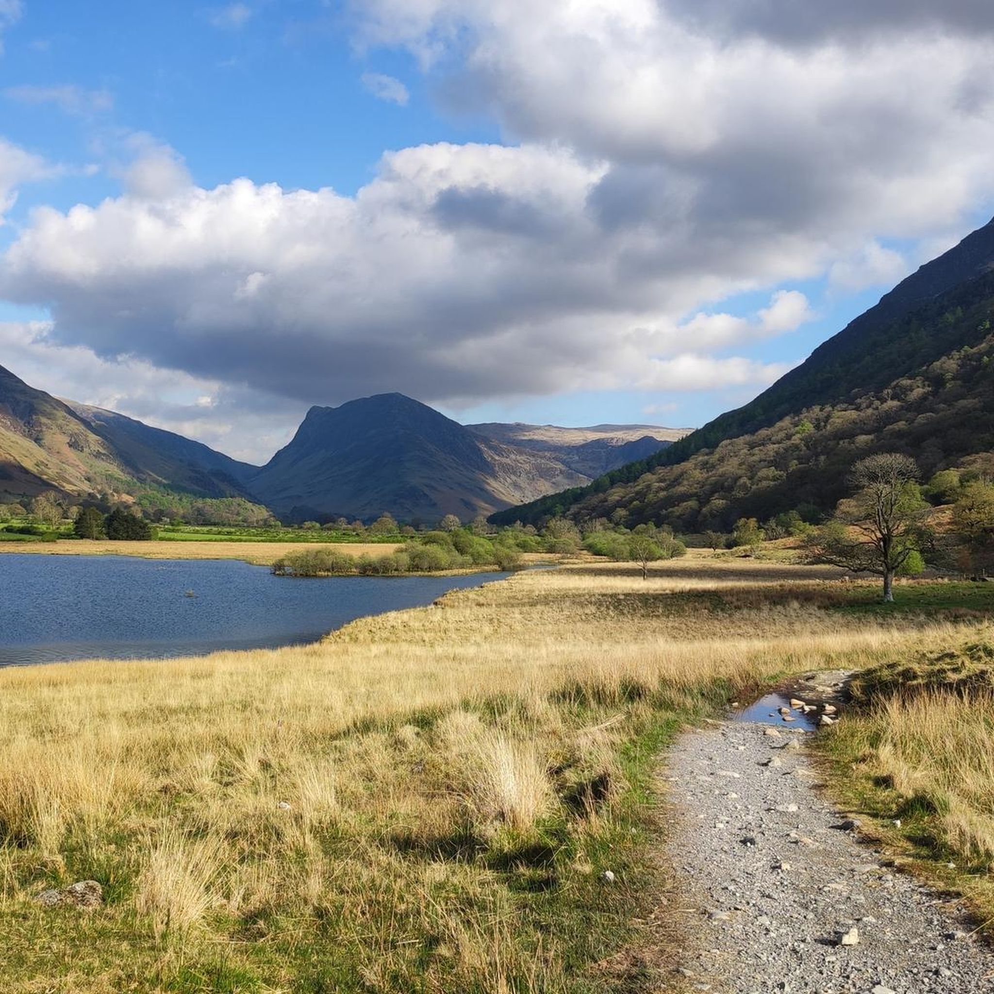
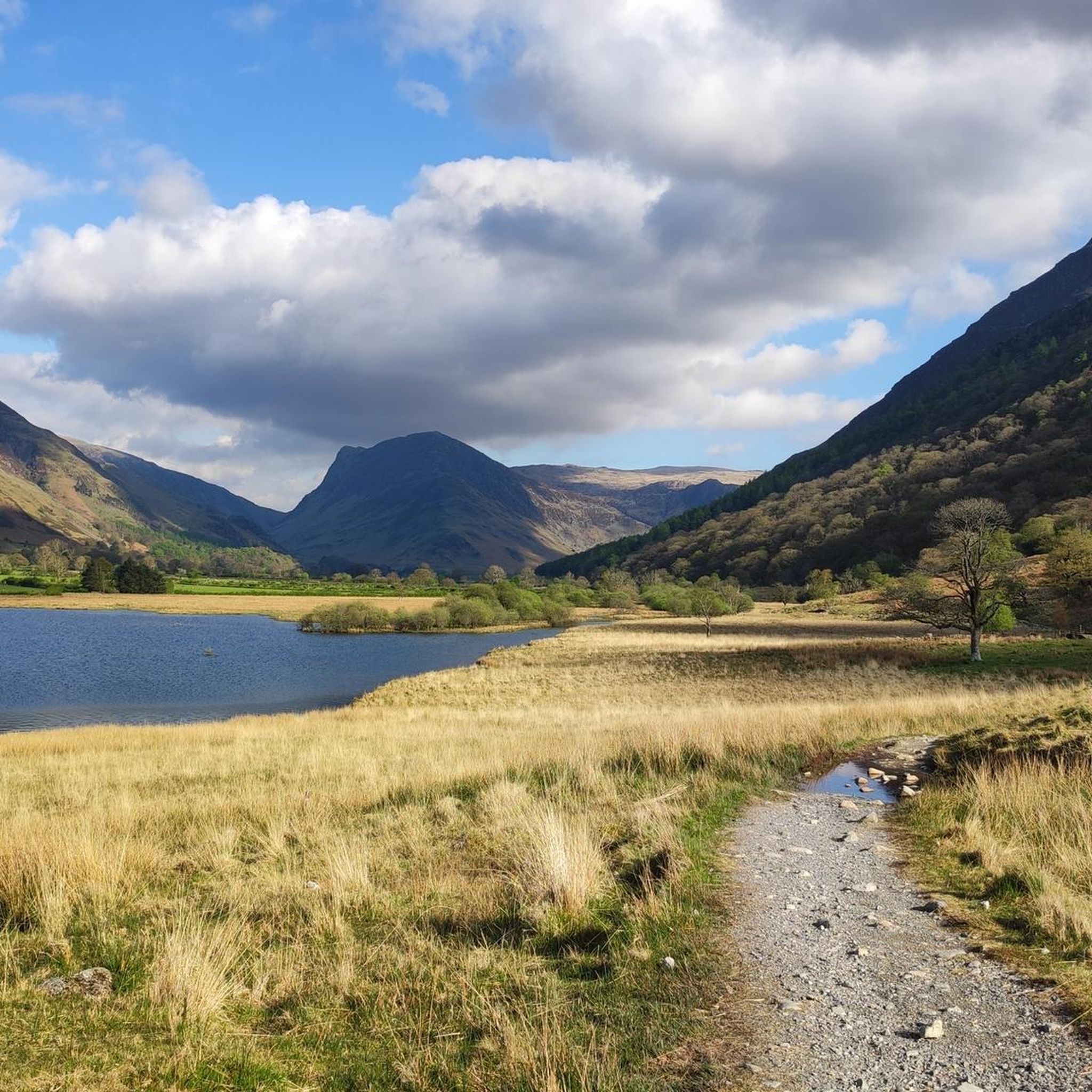
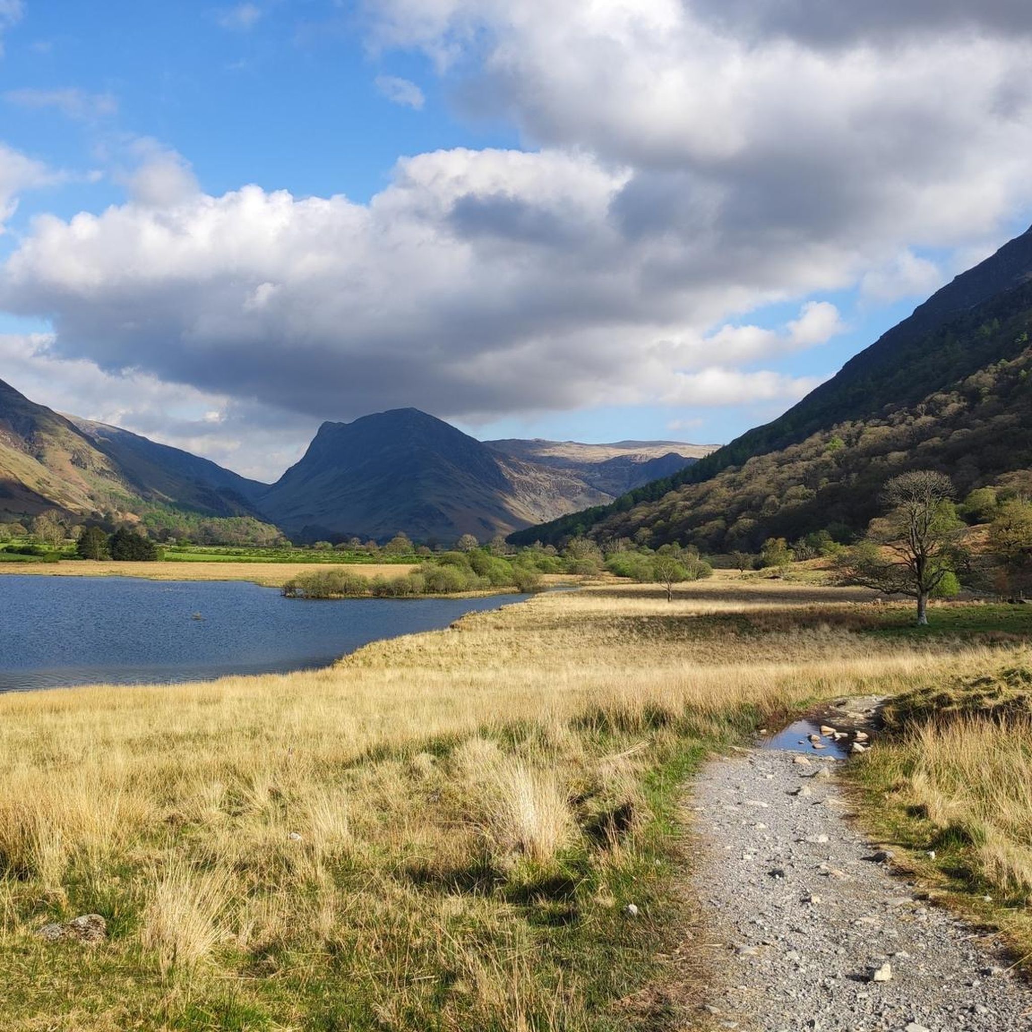

コミュニティからのヒント

Lanthwaiteからの素晴らしい尾根。Whiteside、そしてHopegill Headへと登ります。バターミア/クラムロック渓谷に戻るには、北西のルートのいずれかを経由して帰路につくことができます。
0
0

Good facilities at the start of a hike, but can be very busy during peak season
0
0
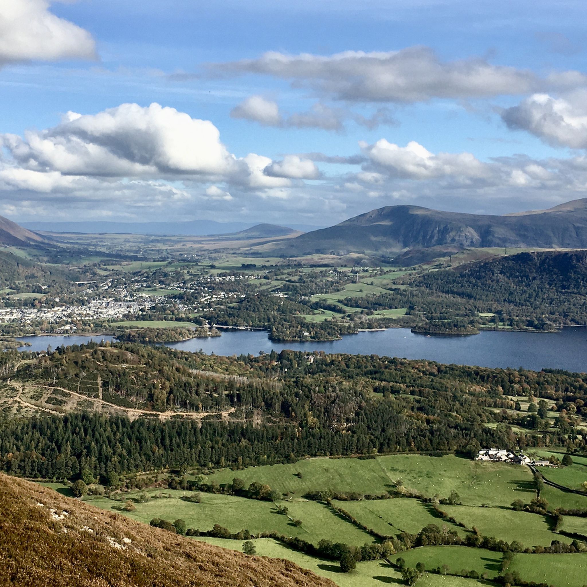
Stunning views overlooking Crummock Water and Buttermere. From here you can descend down the back and have many options to continue your route.
1
0
Super fun challenge, need to be pretty confident on your feet.
0
0

A great place to have a dip in warm weather: cold clean water and a safe place of entry to the pools on the south of the river
0
0


Grasmoor is the highest mountain in the North Western Lakes standing at 852m (2795ft). It has a distinctive outline with a steep scree and crags on its western slopes and a broad grassy summit marked by a large cairn
0
0
Whiteside offers a stunning view of both Crummock Water and the ridge line looking up to Hopegill Head
0
0

komootモバイルアプリでインスピレーションを得よう


さらに探索
他の地域の最高のランニングトレイル & ルートを見てみましょう。
