コニストンウォーターのおすすめウォーキング&ハイキングルート
4.6
(10645)
87,086
ハイカー
28
ハイキング
コニストンウォーター周辺でおすすめのハイキングやウォーキングをお探しですか?コニストンウォーターが誇るこの美しい湖周辺のルートを集めたkomootコレクションを参考にしてください。 ここでは、コニストンウォーター周辺の人気ハイキングコースを紹介しています。魅力的なルートが見つかったら、さっそく冒険に出かけましょう。
最終更新日: 10月 10, 2026
4.8
(116)
415
ハイカー
10.2km
02:56
250m
250m
Hike the moderate 6.3-mile Monk Coniston and Tarn Hows Trail in the Lake District, featuring stunning lake views and woodlands.
4.4
(25)
114
ハイカー
6.81km
02:03
210m
210m
中程度のハイキング. ある程度のフィットネスレベルが必要です。 全般的に進みやすいルートです。安定して歩行できる技術が必要です。

4.8
(29)
198
ハイカー
17.5km
05:12
460m
460m
難しいハイキング. 標準以上のフィットネスレベルが必要です。 全般的に進みやすいルートです。安定して歩行できる技術が必要です。
3.5
(4)
129
ハイカー
6.36km
01:40
50m
50m
初級者向けハイキング. あらゆるフィットネスレベルに適しています。 進みやすいルートです。あらゆるスキルレベルに適しています。
4.8
(4)
24
ハイカー
26.0km
07:13
460m
460m
難しいハイキング. 標準以上のフィットネスレベルが必要です。 進みやすいルートです。あらゆるスキルレベルに適しています。
さらに多くのルートや他のユーザーのおすすめ情報を確認できます。
すでにアカウントをお持ちですか?
おすすめのツアーは他のkomootユーザーが実際に経験した何千ものアクティビティに基づいています。


コミュニティからのヒント

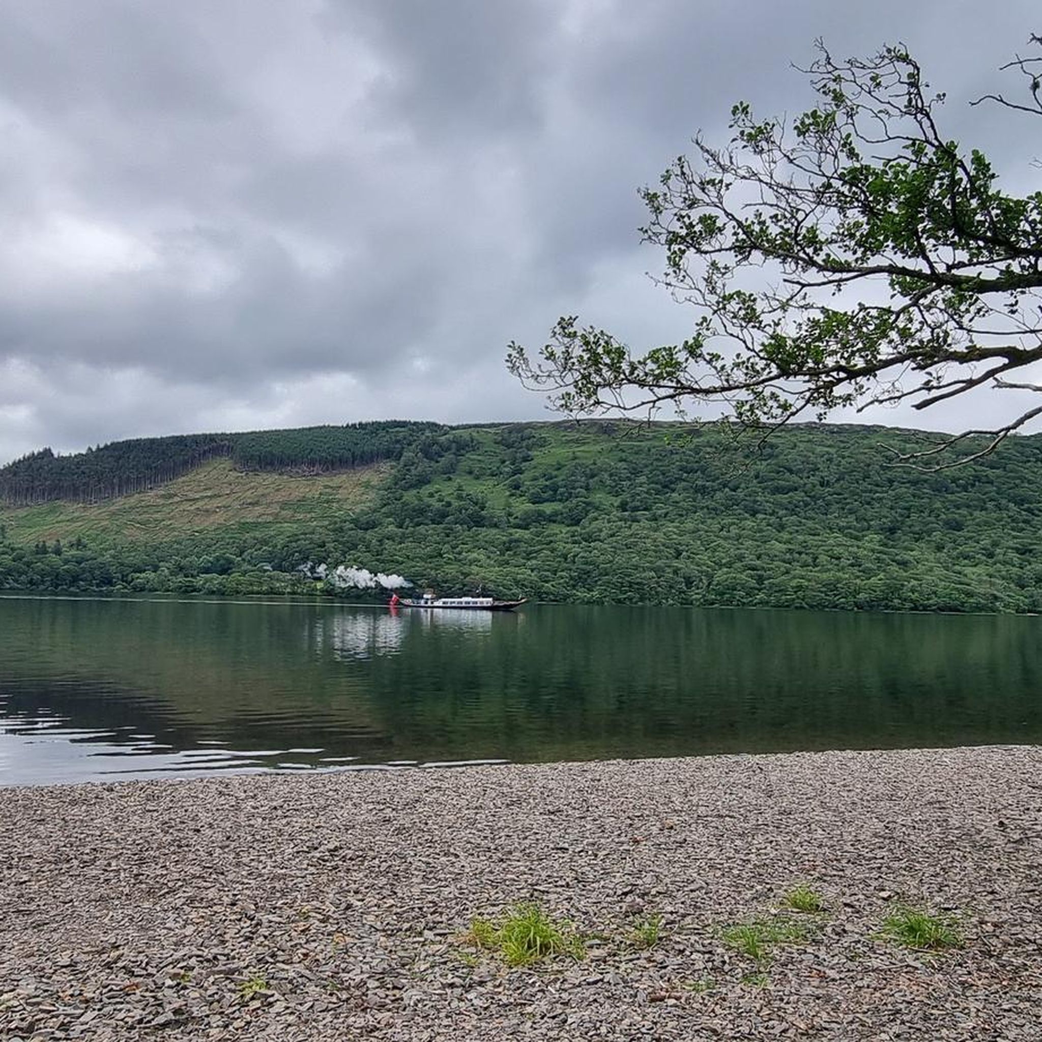
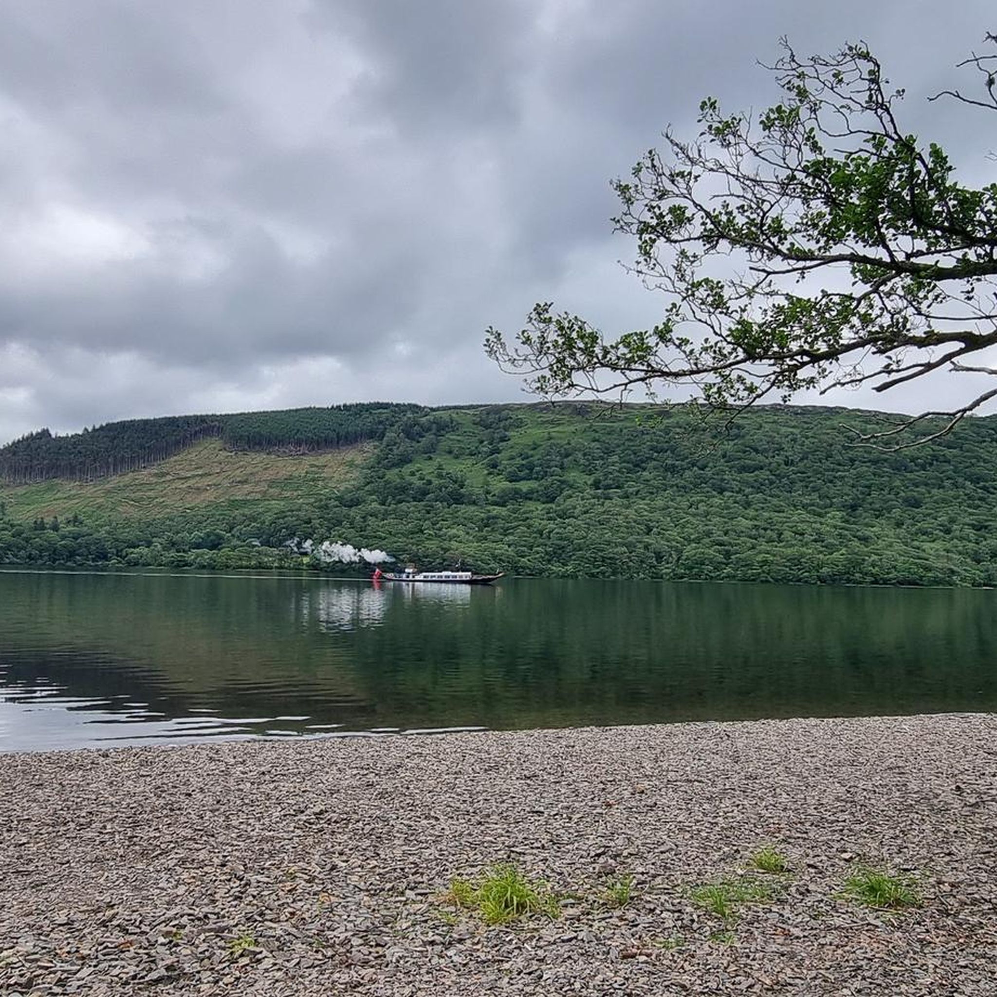
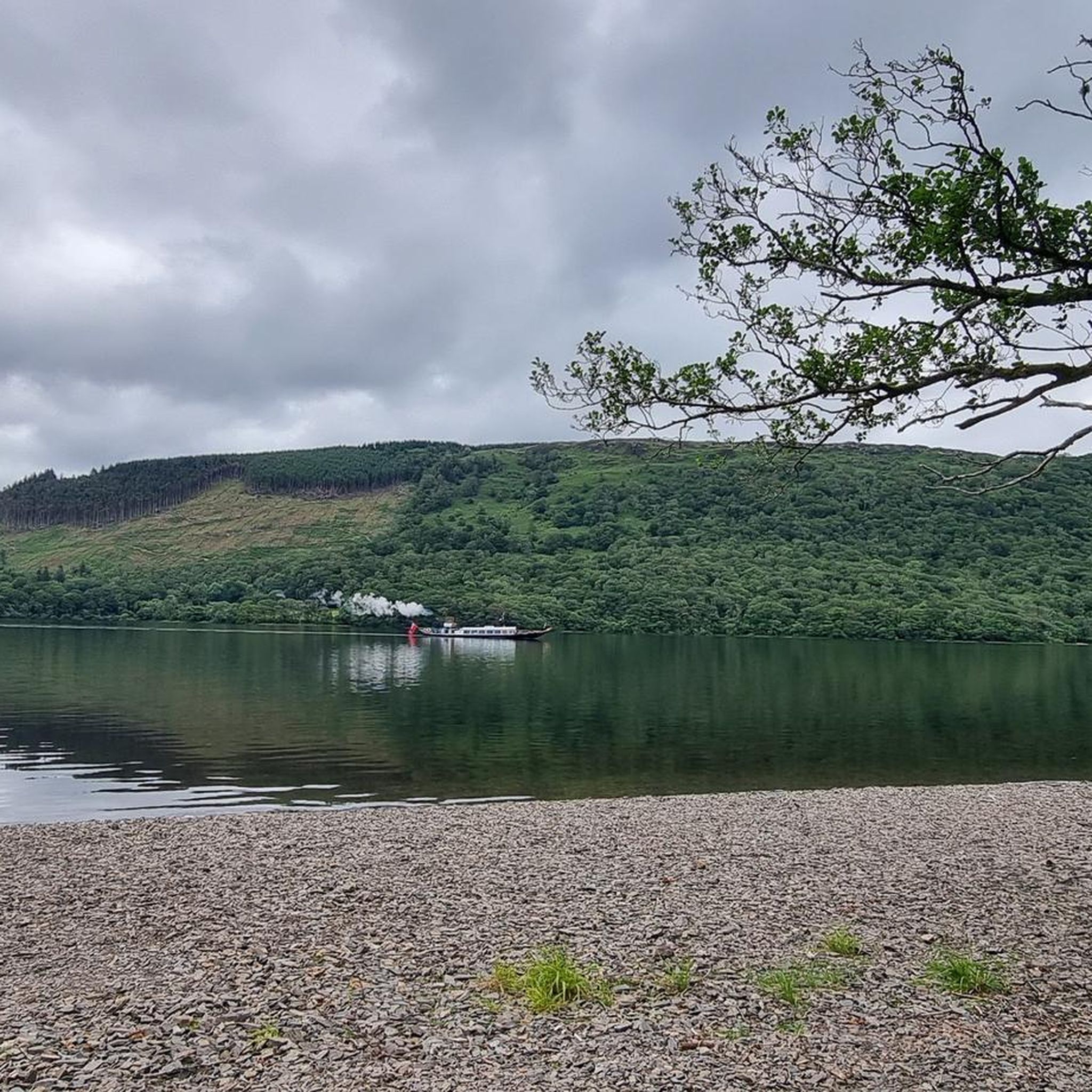
コンニストンは、レイクディストリクトで3番目に大きい湖であるコンニストン・ウォーターの北端に位置しています。この湖では蒸気船クルーズが提供されています。 コンニストンという名前は、古ノルド語の「Konigs Tun」、つまり王様の集落に由来すると言われています。その王様とは、コンニストン・ウォーターの古名であるThurstinii Watraに名前を与えたヴァイキング、Thorsteinであったとされています。 (Wikipedia)
5
0

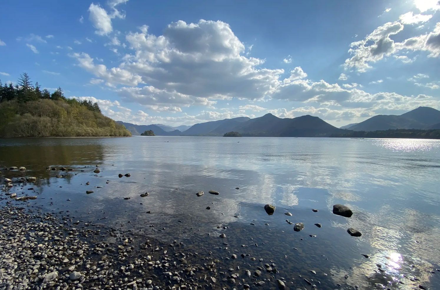
Beautiful view of the mountains.
8
0
Coniston Hall is a former house on the west bank of Coniston Water in the Lake District. The house dates from the late 16th century, or possibly earlier. It is built in ruins with a slate roof. Part of it is now in ruins, part is used as a farm, and part is used as a campsite. The hall is owned by the National Trust, but is not open to the public. (Wikipedia)
8
0
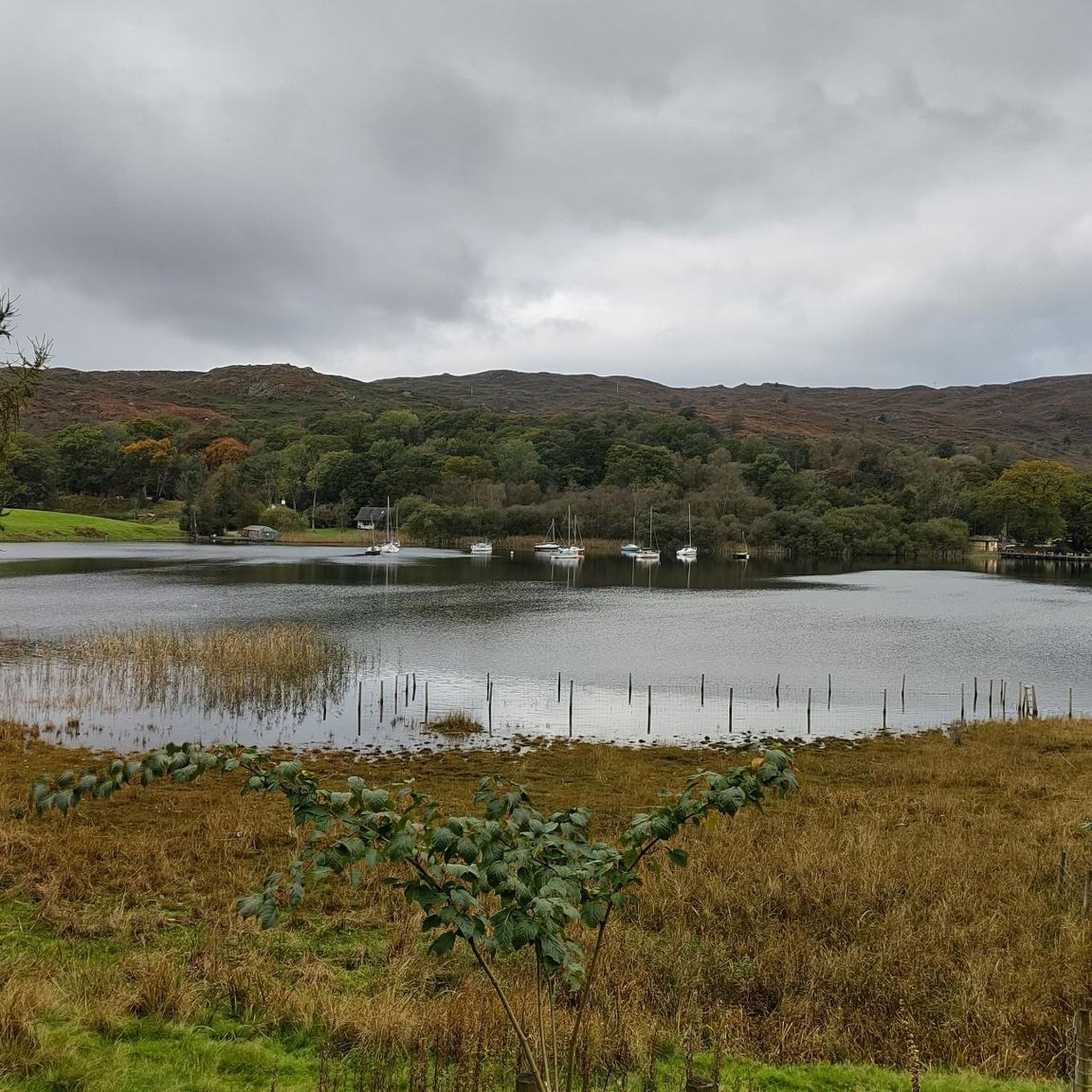
Coniston Water is a lake in the Lake District. It is the third largest lake by volume, after Windermere and Ullswater, and the fifth largest by surface area. The lake is 8.7 kilometres (5.4 mi) long, 730 metres (2,400 ft) wide and 56.1 metres (180 ft) deep. The lake drains into the River Crake, which flows into Morecambe Bay via the estuary of the River Leven. (Wikipedia)
8
0
The beautiful Tarn Hows offers an accessible circular walk (2.4km) through beautiful countryside with majestic mountain views. A great place to walk on a well maintained path. It can get busy though.
6
0
It is strange to come across such a building in a meadow. You do not expect this in this place.
7
0
コニストンウォーターでのの人気ルート
コニストンウォーターでのの人気観光スポット

komootモバイルアプリでインスピレーションを得よう


さらに探索
他の地域の最高のハイキングを見てみましょう。
