バーンホープ貯水池のおすすめランニングルート
4.0
(1)
104
ランナー
15
ランニング
バーンホープ貯水池でランニングを楽しめば、このエリアをより深く知ることができます。ランニングに適した美しいルートが見つかるように、komootがバーンホープ貯水池でのルートのコレクション全体を評価して選び抜いた、人気ランニングトレイルをご紹介します。ルートをクリックして詳細を表示し、他のユーザーがアップロードした役立つ情報や写真を閲覧しましょう。
最終更新日: 10月 15, 2026
2
ランナー
13.8km
01:47
380m
370m
難しいジョギング. 標準以上のフィットネスレベルが必要です。 全般的に舗装された状態です。あらゆるスキルレベルに適しています。
4
ランナー
9.33km
01:03
100m
100m
中程度のジョギング. ある程度のフィットネスレベルが必要です。 全般的に舗装された状態です。あらゆるスキルレベルに適しています。

3
ランナー
10.7km
01:16
280m
280m
中程度のジョギング. ある程度のフィットネスレベルが必要です。 全般的に舗装された状態です。あらゆるスキルレベルに適しています。
3
ランナー
8.70km
00:58
120m
120m
中程度のジョギング. ある程度のフィットネスレベルが必要です。 全般的に舗装された状態です。あらゆるスキルレベルに適しています。
3
ランナー
17.8km
02:14
490m
490m
難しいジョギング. 標準以上のフィットネスレベルが必要です。 全般的に舗装された状態です。あらゆるスキルレベルに適しています。
さらに多くのルートや他のユーザーのおすすめ情報を確認できます。
すでにアカウントをお持ちですか?
おすすめのツアーは他のkomootユーザーが実際に経験した何千ものアクティビティに基づいています。
無料アカウントで今日から始めよう
次の冒険が待っています。
コミュニティからのヒント


Nice section of the weardale way, lots of wild raspberries.
0
0


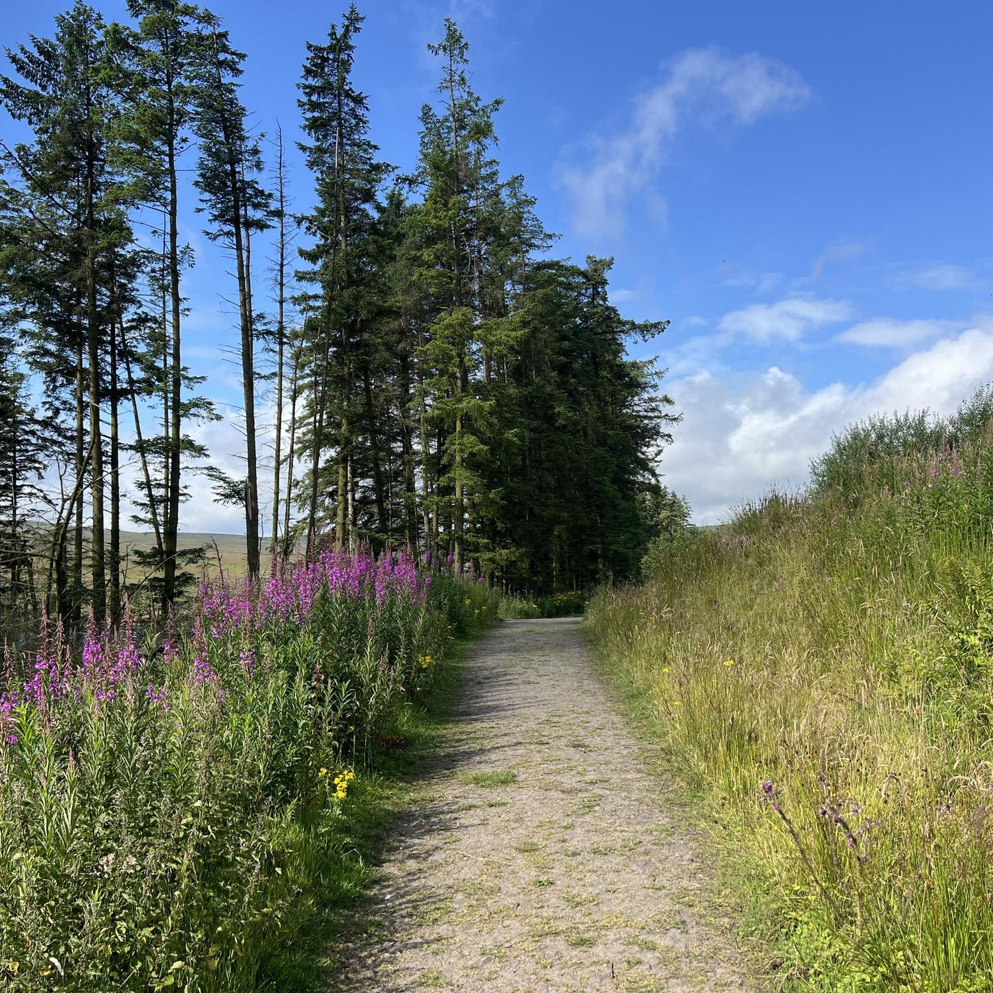
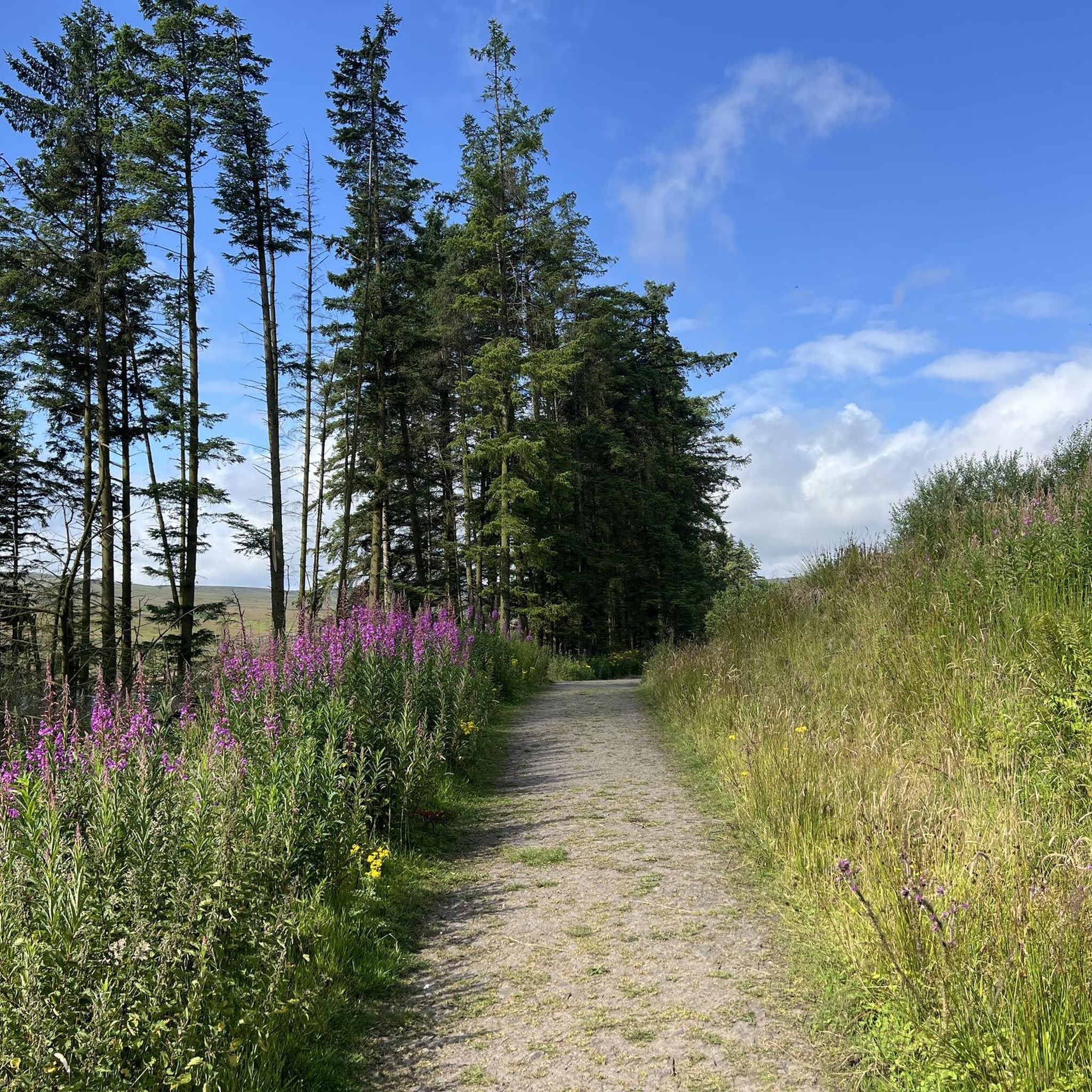
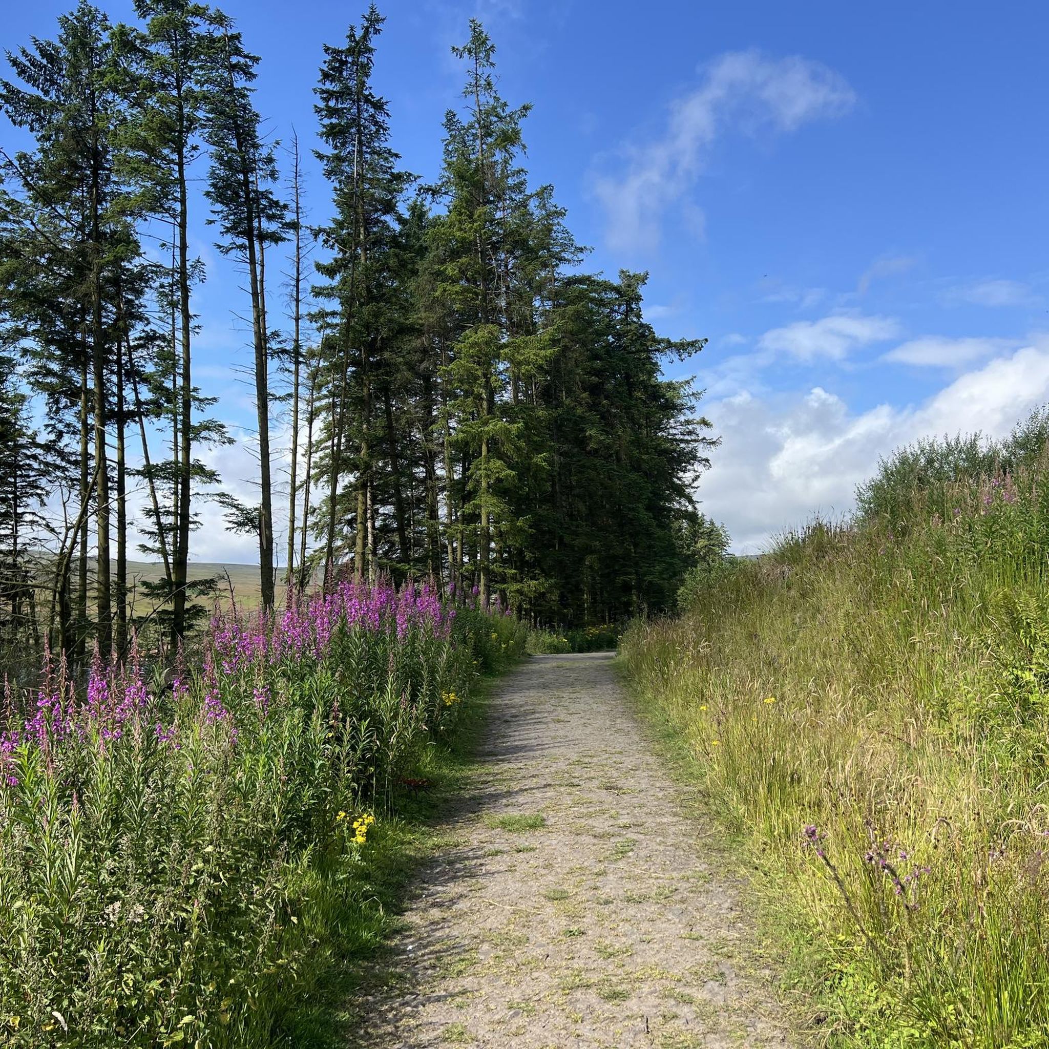
Burnhope Reservoir is a popular spot for hikers and dog walkers. It's a nice scenic spot with a variety of walks on either side of the reservoir, and there are parking spots at both ends of the dam. There are lovely rest spots with benches on the north side; I don't know regarding the southern side.
0
0

From this stone bridge with two arches, you can cross Killhope Burn in the village of Cowshill. If you look closely, very near the bridge, the burn forms a small and beautiful waterfall. Although if you observe it from the bridge, you see it from behind, there are several points around from which you can view the waterfall face-on.
1
0

High up in Weardale, Wearhead is where the Burnhope Burn and Killhope Burn merge to form the River Wear, one of the North East's great rivers. The surrounding countryside is sumptuous walking territory, right in the beating heart of the North Pennines Area of Outstanding Natural Beauty. To the west of the village is Burnhope Reservoir, which makes for a lovely loop. Meanwhile, some of the highest land in County Durham is within hiking distance, including county high point Burnhope Seat at 2,451 feet (747 m).
0
0
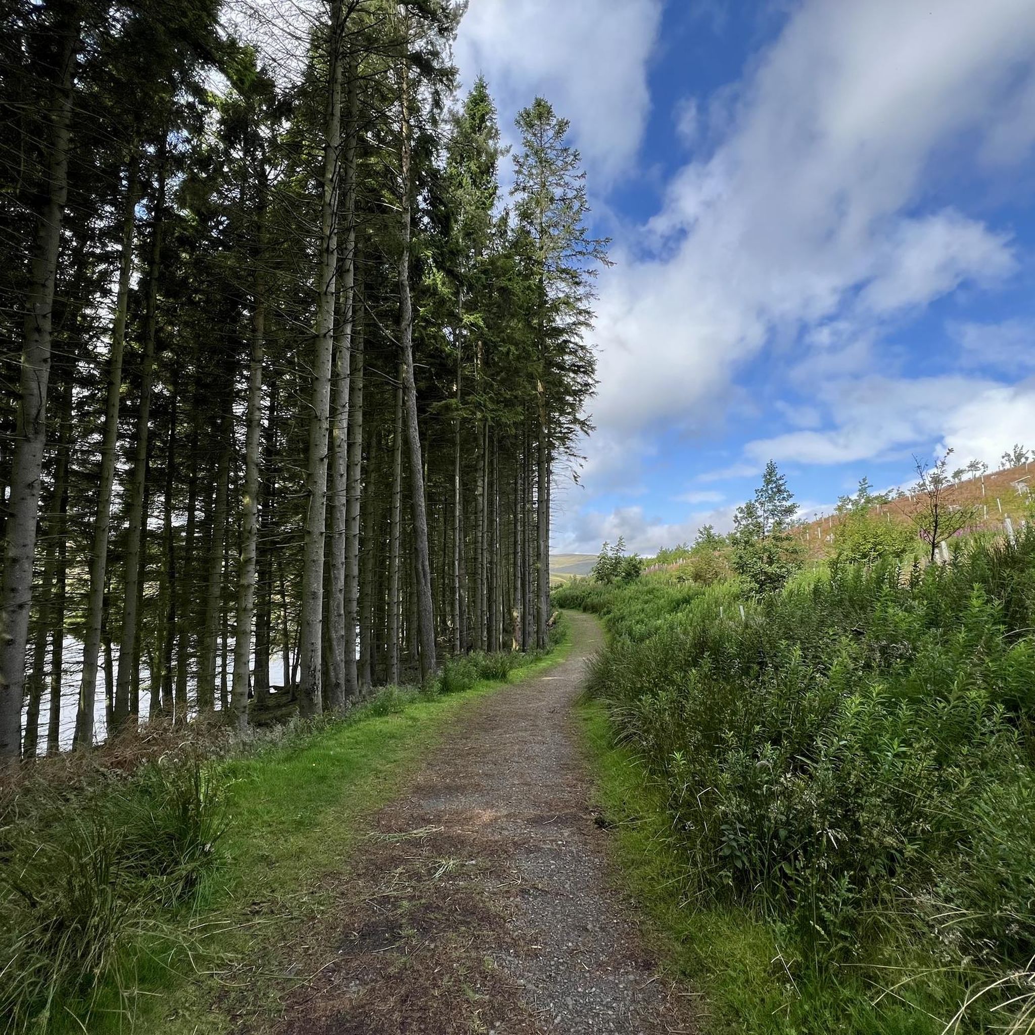
The construction of the dam was completed in 1937, and where the village of Burnhope once stood, it is now submerged under the water. You can enjoy a peaceful walk along the path that surrounds the reservoir, enjoying the tranquility and finding some spots where you can have a break or a snack.
2
0

komootモバイルアプリでインスピレーションを得よう


さらに探索
他の地域の最高のランニングトレイル & ルートを見てみましょう。
