Halawaのおすすめウォーキング&ハイキングルート
4.6
(77)
912
ハイカー
20
ハイキング
Halawa 周辺でおすすめのハイキングやウォーキングを楽しんでいただけるように、このエリアの小径やルートを集めたkomootコレクション全体を見直しました。 以下で各ルートの詳細をご覧になり、Halawa周辺の大自然を満喫する際の参考にしてください。
最終更新日: 7月 9, 2026
5.73km
01:27
10m
20m
The Nimitz Bike Path offers a unique urban hiking experience in Honolulu, blending historical views with surprising pockets of greenery. As you walk this easy 3.6-mile (5.7 km) multi-use path,…
4.6
(34)
362
ハイカー
7.31km
02:09
220m
220m
中程度のハイキング. ある程度のフィットネスレベルが必要です。 進みやすいルートです。あらゆるスキルレベルに適しています。

無料新規登録
5.0
(1)
8
ハイカー
7.83km
02:34
350m
350m
The Kalauao Falls Loop Trail offers a deep immersion into Oʻahu's dense, untamed jungle, a world away from the island's more manicured paths. This moderate 4.9-mile (7.8 km) hiking route,…
3
ハイカー
13.8km
04:50
720m
720m
Hike the moderate 8.6-mile Tripler Ridge Trail in Honolulu, gaining 2360 feet with panoramic views from the summit.
4.9
(24)
200
ハイカー
16.3km
05:36
760m
760m
The Moanalua Ridge Trail – Kamananui Valley Trail loop offers a dramatic shift in scenery and challenge on O'ahu. You'll start with a peaceful walk through the lush Kamananui Valley,…
さらに多くのルートや他のユーザーのおすすめ情報を確認できます。
無料新規登録
すでにアカウントをお持ちですか?
おすすめのツアーは他のkomootユーザーが実際に経験した何千ものアクティビティに基づいています。
無料アカウントで今日から始めよう
次の冒険が待っています。
ログインまたは登録

コミュニティからのヒント

This unpaved "road" — really, just a nice walking trail — used to be an access point for the Moanalua Ridge Trail, a route up to the "backside" of the Haiku Stairs. That route is now closed and people who've tried to sneak through have gotten tickets, so it's better not to risk it. The early part of the road is interesting in and of itself, though, thanks to interpretive signs that point out natural history and relics.
0
0
Right about here you'll see a side trail on your left. This is the access route for Kalauao Falls, but be warned that the 'Aeia Ridge and Loop trails generally make a much nicer — and less muddy — adventure.
1
0
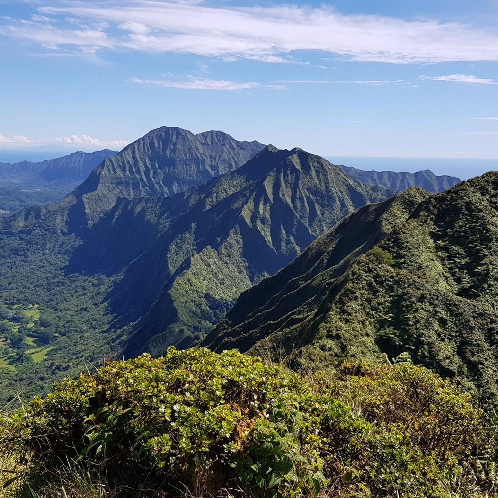
This viewpoint gives you great views of the ruggedly beautiful Halawa Valley to your south. The road running through it is Hawaii's H3 interstate highway. Yes, you read that correctly—it's technically considered an interstate, even though it only traverses the one island. If conditions allow you can even see all the way to the city of Honolulu, also to your south.
1
1
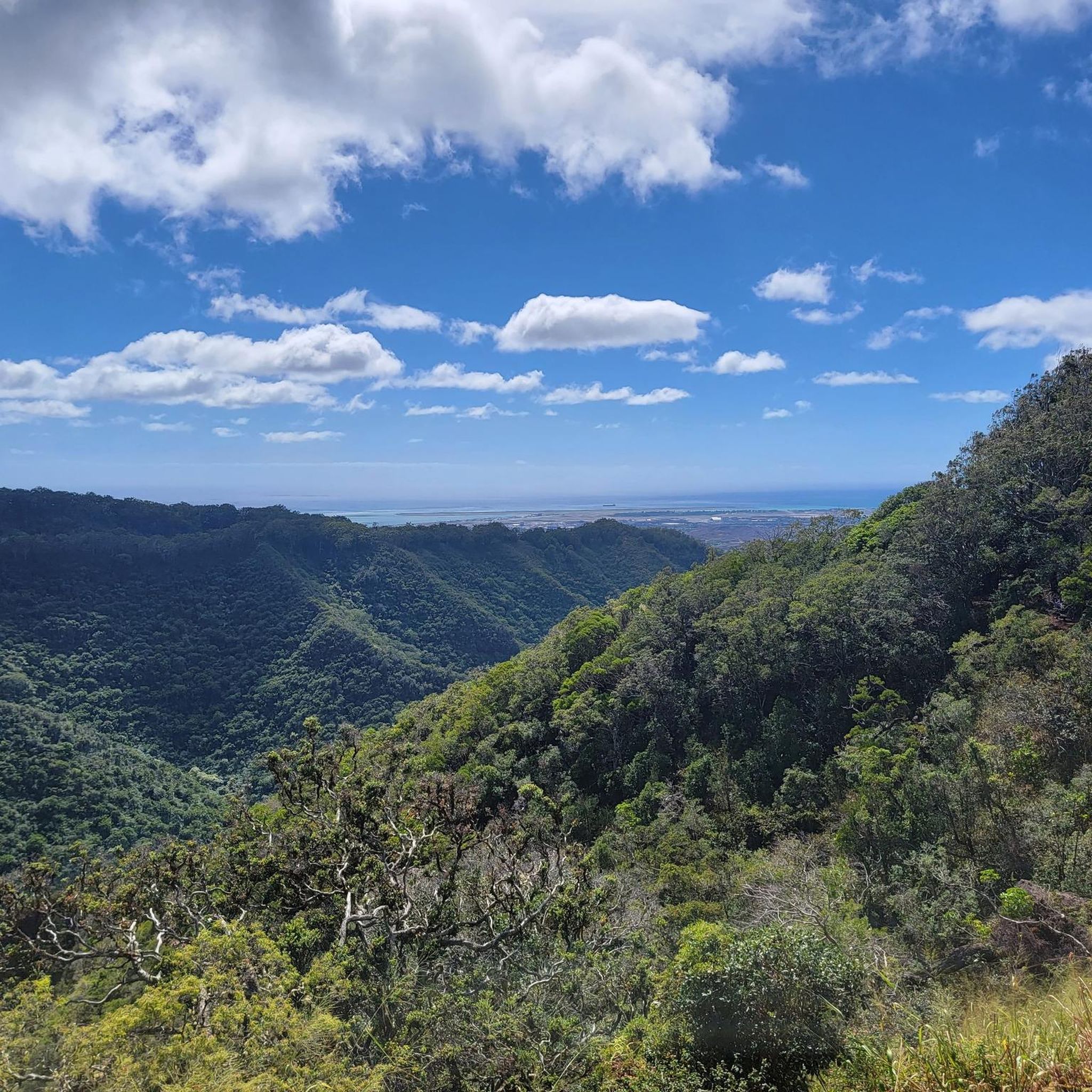
This is one of many points along the 'Aiea Ridge Trail (which transects the 'Aiea Loop) that give a great viewpoint over Pearl Harbor. It's an evocative place, where you can easily imagine what it might have been like to witness the Japanese attack on the harbor that triggered the United States' entrance into World War II.
1
0

On this point of the trail you are on the top of a cliff with the Halawa Valley and the highway below. The highway adds a certain element to the view by providing a reference point to show just how big the valley actually is.
0
0

Once you reach the peak of Kahoʻomoeʻihikapulani at almost 2,700 feet, you will forget about the struggles along the hike. Enjoy the views to both sides of the island and give yourself a long break before you hike back. You deserve it!
0
0
Please be aware, that the hike along Tripler Ridge Trail is very challenging, partly overgrown and includes many exposed sections. But if you're in good shape and up for an adventure, this is the perfect hike for you, and you will certainly be rewarded!
0
0
Widely known for the infamous attack on Pearl Harbor, you get a nice view of exactly that location from this spot along ʻAiea Loop Trail.
1
0
around Halawaの人気ルート
around Halawaの人気観光スポット

komootモバイルアプリでインスピレーションを得よう


さらに探索
他の地域の最高のハイキングを見てみましょう。
