ブルームリー・ラフのおすすめランニングルート
4.3
(32)
350
ランナー
37
ランニング
ブルームリー・ラフでランニングを楽しめば、このエリアをより深く知ることができます。ランニングに適した美しいルートが見つかるように、komootがブルームリー・ラフでのルートのコレクション全体を評価して選び抜いた、人気ランニングトレイルをご紹介します。ルートをクリックして詳細を表示し、他のユーザーがアップロードした役立つ情報や写真を閲覧しましょう。
最終更新日: 10月 13, 2026
21
ランナー
22.7km
02:54
500m
500m
難しいジョギング. 標準以上のフィットネスレベルが必要です。 全般的に進みやすいルートです。一部で、安定して歩行できる技術が必要です。
3
ランナー
10.5km
01:09
220m
230m
中程度のジョギング. ある程度のフィットネスレベルが必要です。 全般的に舗装された状態です。あらゆるスキルレベルに適しています。

5.0
(1)
5
ランナー
6.60km
00:45
150m
150m
中程度のジョギング. ある程度のフィットネスレベルが必要です。 全般的に舗装された状態です。あらゆるスキルレベルに適しています。
46
ランナー
9.93km
01:14
200m
200m
Jogging the Hadrian's Wall Path offers a moderate challenge across 6.2 miles (9.9 km), with an elevation gain of 661 feet (201 metres) that you can complete in about 1…
5.0
(1)
39
ランナー
7.77km
00:53
120m
120m
Embark on the Crag Lough loop from Steel Rigg, a moderate jogging route spanning 4.8 miles (7.8 km) with an elevation gain of 392 feet (119 metres), typically completed in…
さらに多くのルートや他のユーザーのおすすめ情報を確認できます。
すでにアカウントをお持ちですか?
おすすめのツアーは他のkomootユーザーが実際に経験した何千ものアクティビティに基づいています。
無料アカウントで今日から始めよう
次の冒険が待っています。

コミュニティからのヒント

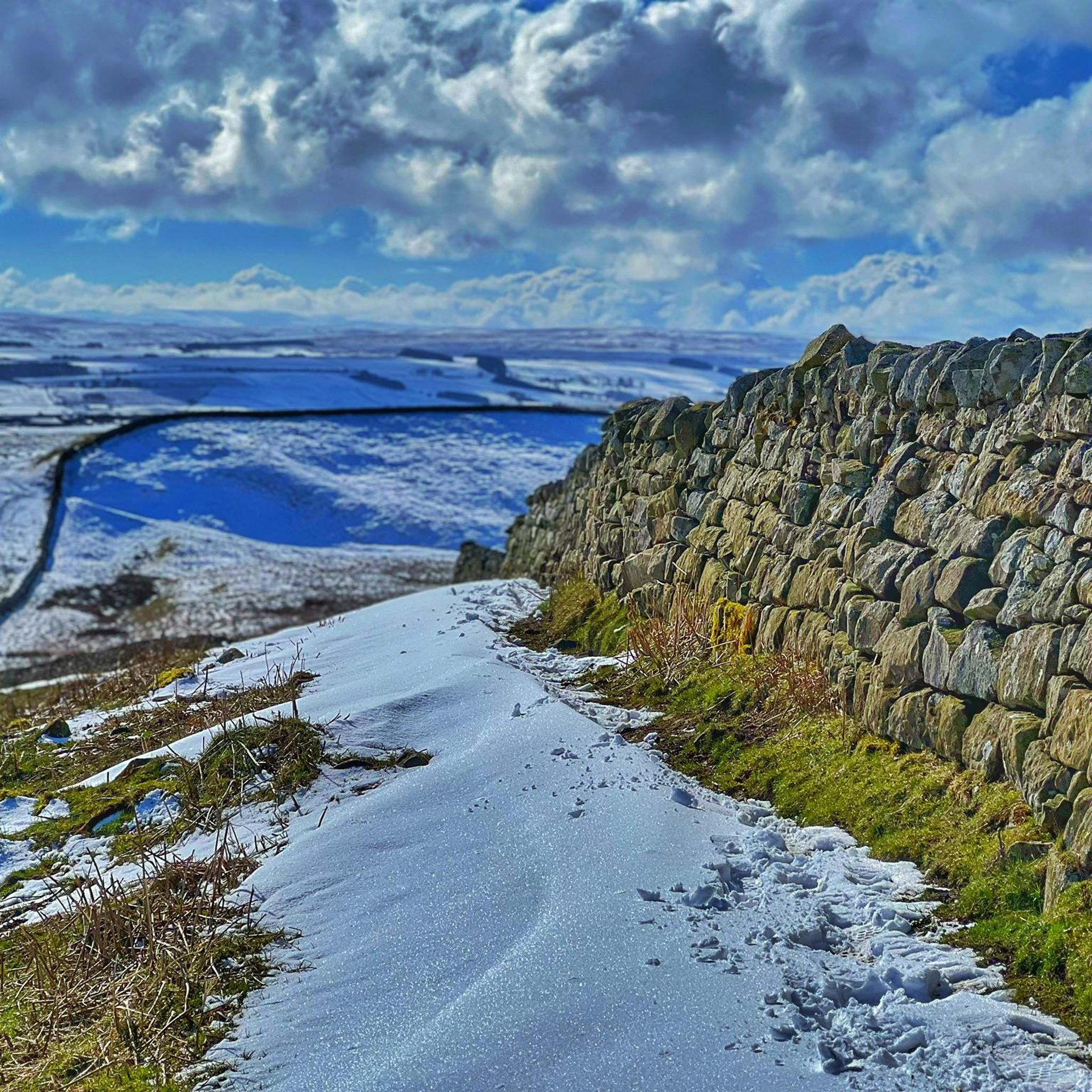
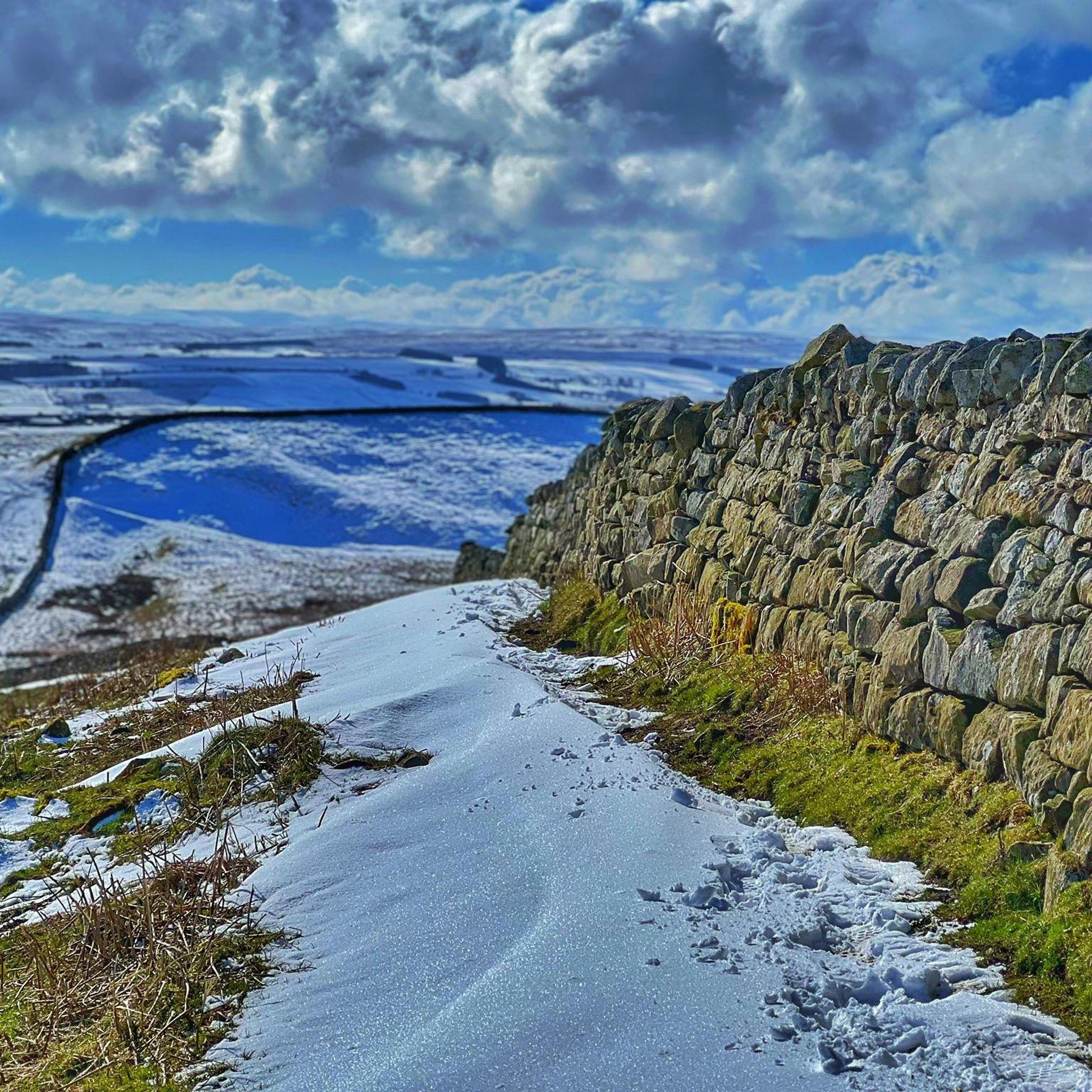
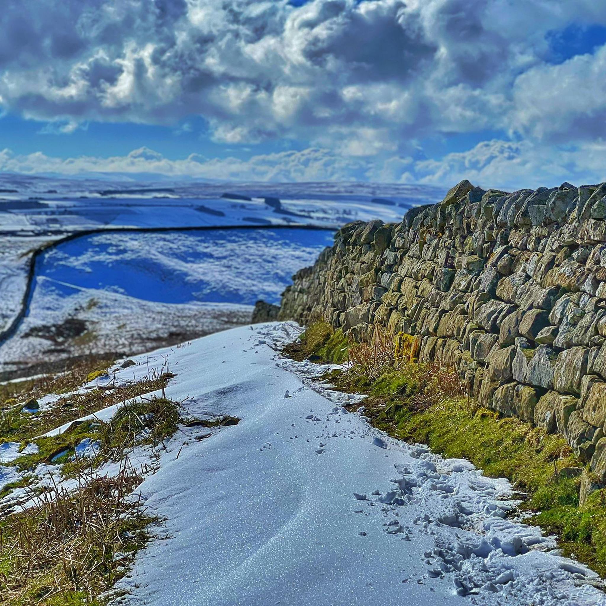
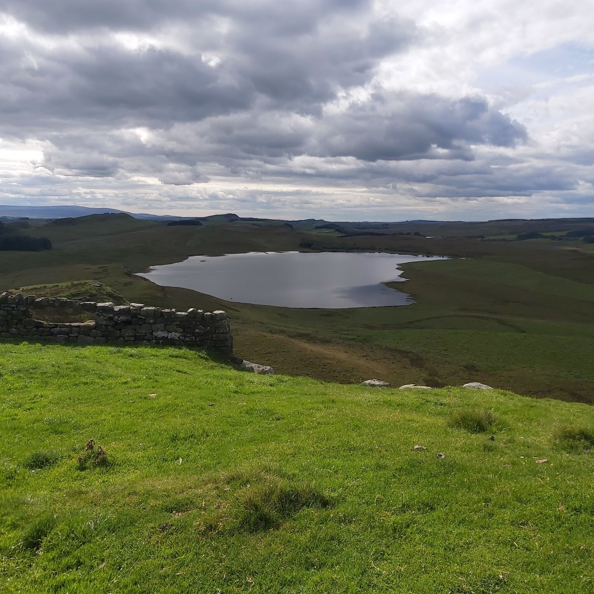
スティール・リッグは、ハドリアヌスの長城の高く中央の部分に沿った最も美しい展望ポイントの1つです。
6
0
ローマのミールキャッスル39は、丘の窪みに位置していることからキャッスル・ニックとして知られています。この遺跡は1908年から1911年にかけて発掘され、1982年から1987年にかけて再発掘されました。南東の角には石造りのオーブンがあり、南西の角にはローマ時代の遺物に関連する、床が沈んだ長方形の建物がありました。ミールキャッスルは4世紀末まで占領されていたようです。18世紀には、西の角に酪農場が建てられた可能性があります。 (Northumberland National Park)
5
0

マイルキャッスル39は、非常に景観が良く印象的な場所です。ハドリアンズ・ウォールにある保存状態の良いマイルキャッスルです。シカモア・ギャップのすぐ西にあり、この壁の区間にある数多くの優れた特徴の1つにすぎません。
0
0
シカモア・ギャップの木は、ハドリアンズ・ウォール沿いのドラマチックなくぼ地に位置する、樹齢200年以上の象徴的な木でした。この木は映画『ロビン・フッド』で有名になり、ケビン・コスナーとモーガン・フリーマンがこの場所でシーンを演じました。残念ながら、チェーンソーを持った悪意のある、復讐心のある人間に立ち向かうことはできませんでした。
0
0
Milecastle 42 is one of those spots on Hadrian’s Wall that feels like you’ve just stumbled on a hidden gem. It’s not huge, but that’s part of the charm – you can properly picture the Roman soldiers posted here, staring out across the wild Northumberland landscape and wondering what on earth they’d signed up for. The views are cracking, the ruins are well-marked, and it gives you that instant connection to history without being swamped by crowds. A quick stop, but a memorable one – exactly what you want on a wall walk.
0
0

From the end of the pines you can spot the Sycamore gap.
7
0

Information about this magnificent long-distance hiking trail—along this border fortification dating back to Roman times (the 120s AD) and commissioned by Emperor Hadrian—is no longer available only on printed maps or books. Hikers who would like to gather information online in advance can find it on the official website, which is entitled: "Follow in the footsteps of Romans and trek alongside an ancient monument on a coast-to-coast walk across northern England." If you are interested, please follow this link =>> https://www.nationaltrail.co.uk/en_GB/trails/hadrians-wall-path/
0
0
The highest point (255m) of Hadrian's Cycleway (HCW) is marked by a signpost. From here, you can enjoy magnificent panoramic views of the vast marsh and peatlands.
8
0

komootモバイルアプリでインスピレーションを得よう


さらに探索
他の地域の最高のランニングトレイル & ルートを見てみましょう。
