デリークレア・ラフのおすすめウォーキング&ハイキングルート
4.6
(60)
395
ハイカー
15
ハイキング
デリークレア・ラフ周辺でおすすめのハイキングやウォーキングをお探しですか?デリークレア・ラフが誇るこの美しい湖周辺のルートを集めたkomootコレクションを参考にしてください。 ここでは、デリークレア・ラフ周辺の人気ハイキングコースを紹介しています。魅力的なルートが見つかったら、さっそく冒険に出かけましょう。
最終更新日: 8月 31, 2026
5.0
(1)
18
ハイカー
6.03km
03:12
600m
600m
難しいハイキング. ある程度のフィットネスレベルが必要です。 安定して歩行できる技術、丈夫な靴、高標高地での登山経験が必要です。
5.0
(2)
7
ハイカー
Hike the difficult 7.1-mile Binn Doire Chláir and Binn Chorr trail in Derryclare Nature Reserve for panoramic views of the Twelve Bens.

無料新規登録
5.0
(1)
12
ハイカー
Hike the difficult 5.4-mile Binn Doire Chláir / Derryclare and Binn Chorr / Bencorr trail for superb mountain views in Connemara National Pa
5.0
(1)
2
ハイカー
14.1km
04:41
860m
860m
Hike the Central Maumturks loop in County Galway, a challenging 8.8-mile route with 2806 feet of gain and stunning Connemara views.
4.5
(2)
30
ハイカー
3.44km
00:53
20m
20m
初級者向けハイキング. あらゆるフィットネスレベルに適しています。 進みやすいルートです。あらゆるスキルレベルに適しています。
さらに多くのルートや他のユーザーのおすすめ情報を確認できます。
無料新規登録
すでにアカウントをお持ちですか?
おすすめのツアーは他のkomootユーザーが実際に経験した何千ものアクティビティに基づいています。
無料アカウントで今日から始めよう
次の冒険が待っています。
ログインまたは登録
デリークレア・ラフ周辺で人気
コミュニティからのヒント

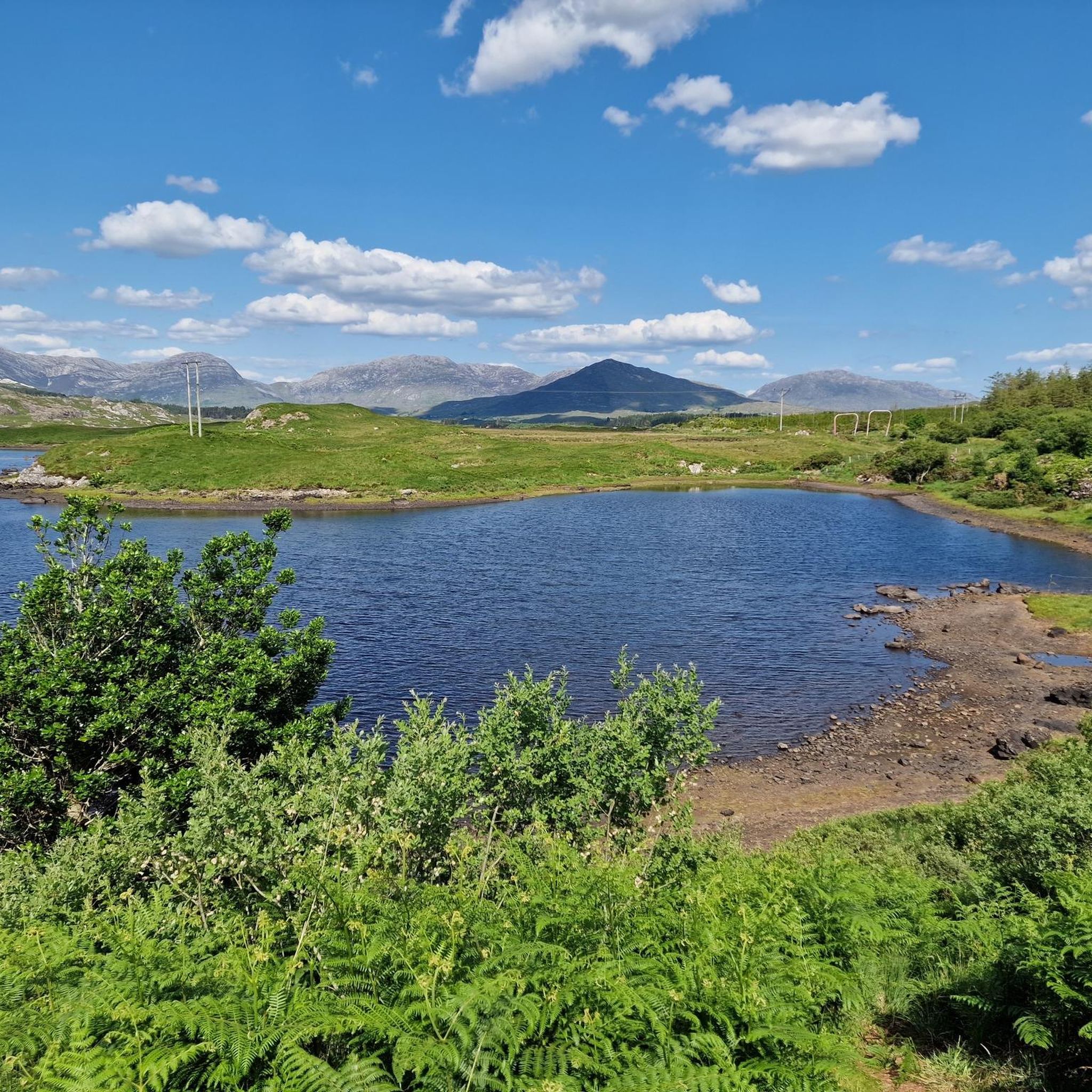
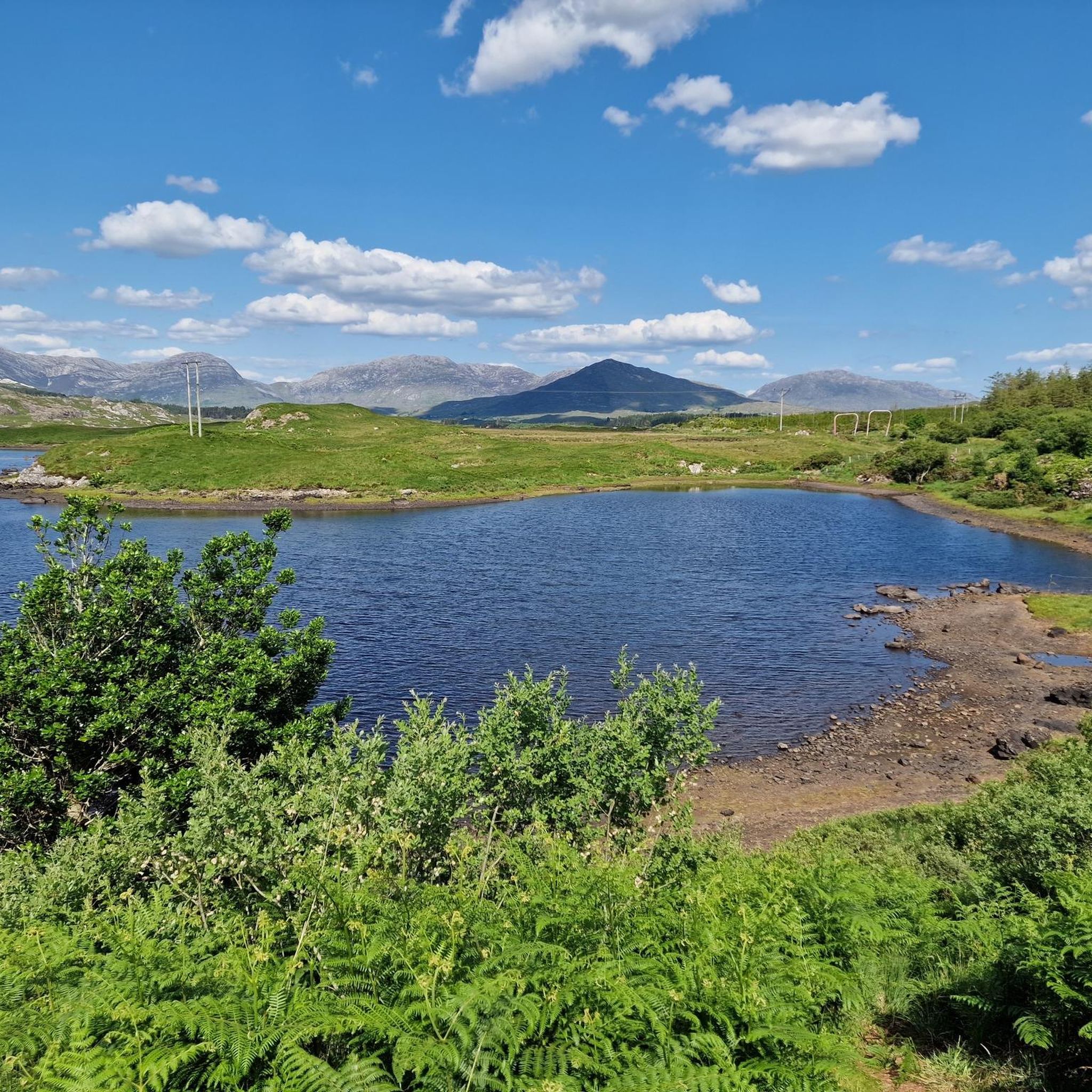
R341からは、鏡のように滑らかな湖の水面、木々に覆われた島々、そして荘厳なBallynahinch Castleの輪郭が、Twelve Bensの雄大な背景にシームレスに溶け込む様子を眺めることができます。BenletteryとBengowerのそびえ立つ頂が地平線を支配し、しばしば深い青色の水面に美しく映し出されます。
7
0
バリーナヒンチ湖(Loch Bhaile na hInse)の展望台。R341からは、鏡のように滑らかな湖の水面、木々に覆われた小島、そして堂々としたバリーナヒンチ城の輪郭が、トゥエルブ・ベンズの雄大な背景にシームレスに溶け込んでいるのが見えます。ベネテリー山とベンガウワー山のそびえ立つ頂が地平線を支配し、しばしば深い青色の水面に美しく映し出されます。
7
0

よく整備された川沿いの散歩道で、Ballynahinch castleが見えます
1
0

From here to the top of Derryclare and Bencorr is a strenuous mountain walk. The trail is steep and tough, with a mix of rock and bog sections. In the wet the rock can be very treacherous. Proper mountain hiking equipment, in particular footwear, is a must. In addition, make sure you have your food and fluids. There is very little by way of footpaths or waymarks, so the ability to navigate in the mountains, in particularly poor weather, is also a must. The trail gives you a rough outline and is best suited for the more experienced hikers out there with good fitness levels. Even then, the drier the day, the better experience you will have. You will be rewarded with an exceptional mountain day that has fine views of the 12 Bens from the tops and between the two summits, but you will certainly have to work for it.
0
0
Barrlugrevagh at 558 metres high makes for a small, scenic summit between Knocknahillion and Letterbreckaun. It has a decent size cairn and makes for a great vantage point to look down the ridge connectingh these two peaks.
0
0
Letterbreckaun is the second highest peak in the Maumturk Mountains here in Connemara at 667 metres high. It is the endmost northern mountain of the Central Maumturks area. It is connected to its lower sister hill of Knocknahillion by a long winding, undulating rocky ridge. From here you have great views out over Lough Inagh and towards Derryclare and Bencorr,
0
0
Cnoc na hUilleann, or Knocknahillion, which is 607 metres high, is a gem of a mountain in the central Maumturks area. It is not that high, but it is big in attitude, and if you follow the spectacular undulating ridge north, you will reach the slightly higher point of Letterbreckaun, which is 667 metres high. On the way you will be able to take in the stunning views of the 12 Bens and the beautiful Lough Inagh Valley.
0
0
Derryclare is 673 metres high and sits just south of its bigger neighbour Bencorr, and both of them form two of the ’12 Bens of Connemara’. They are connected by a rocky ridge that offers great views in all directions.
1
0

komootモバイルアプリでインスピレーションを得よう


さらに探索
他の地域の最高のハイキングを見てみましょう。
