ノイエンドルファー湖のおすすめウォーキング&ハイキングルート
4.5
(2866)
9,416
ハイカー
198
ハイキング
ノイエンドルファー湖周辺でおすすめのハイキングやウォーキングをお探しですか?ノイエンドルファー湖が誇るこの美しい湖周辺のルートを集めたkomootコレクションを参考にしてください。 ここでは、ノイエンドルファー湖周辺の人気ハイキングコースを紹介しています。魅力的なルートが見つかったら、さっそく冒険に出かけましょう。
最終更新日: 7月 24, 2026
4.6
(124)
338
ハイカー
13.1km
03:22
30m
30m
中程度のハイキング. ある程度のフィットネスレベルが必要です。 進みやすいルートです。あらゆるスキルレベルに適しています。
4.5
(13)
37
ハイカー
7.03km
01:51
50m
50m
初級者向けハイキング. あらゆるフィットネスレベルに適しています。 進みやすいルートです。あらゆるスキルレベルに適しています。

無料新規登録
4.8
(10)
25
ハイカー
7.02km
01:49
20m
20m
初級者向けハイキング. あらゆるフィットネスレベルに適しています。 進みやすいルートです。あらゆるスキルレベルに適しています。
4.8
(9)
32
ハイカー
7.80km
01:59
30m
30m
初級者向けハイキング. あらゆるフィットネスレベルに適しています。 進みやすいルートです。あらゆるスキルレベルに適しています。
3.8
(5)
21
ハイカー
13.5km
03:28
60m
60m
中程度のハイキング. ある程度のフィットネスレベルが必要です。 進みやすいルートです。あらゆるスキルレベルに適しています。
さらに多くのルートや他のユーザーのおすすめ情報を確認できます。
無料新規登録
すでにアカウントをお持ちですか?
おすすめのツアーは他のkomootユーザーが実際に経験した何千ものアクティビティに基づいています。
無料アカウントで今日から始めよう
次の冒険が待っています。
ログインまたは登録

コミュニティからのヒント

This simple yet charming pedestrian bridge marks one of the most beautiful crossings of the Spree south of Neuendorf am See – a place that doesn't impose itself loudly, but quietly seduces. Ideal for hikers seeking the water and for paddlers who trust the river's flow. For hikers: The bridge is a hub on regional walking and hiking trails – those coming from the center of Neuendorf will encounter an almost meditative scenery: reflective water, wide meadows, gently rustling willows. Particularly rewarding at sunrise or in the evening hours, when the sky and landscape merge into one. For canoeists: From a kayak, the bridge appears almost sculptural. It spans the Spree with a gentle sweep, signaling: Here the river flows gently, but not without depth. A good opportunity for a rest, as there are shallow spots along the bank for landing. If you like, you can dock briefly and climb the few steps up to the bridge – the view is worth it.
0
0

Beautiful hiking trail on the shore of Lake Godna with many idyllic spots to rest, relax, swim or just enjoy.
0
0

Warning: Komoot shows that after the bridge you should go right towards the break area. However, I was attacked by dogs and reprimanded by a very unfriendly property owner - who probably bought the house and closed the hiking trail. But there is no fence and I didn't see any sign. All my maps showed a way. So it's best to walk straight ahead and then turn right.
0
0

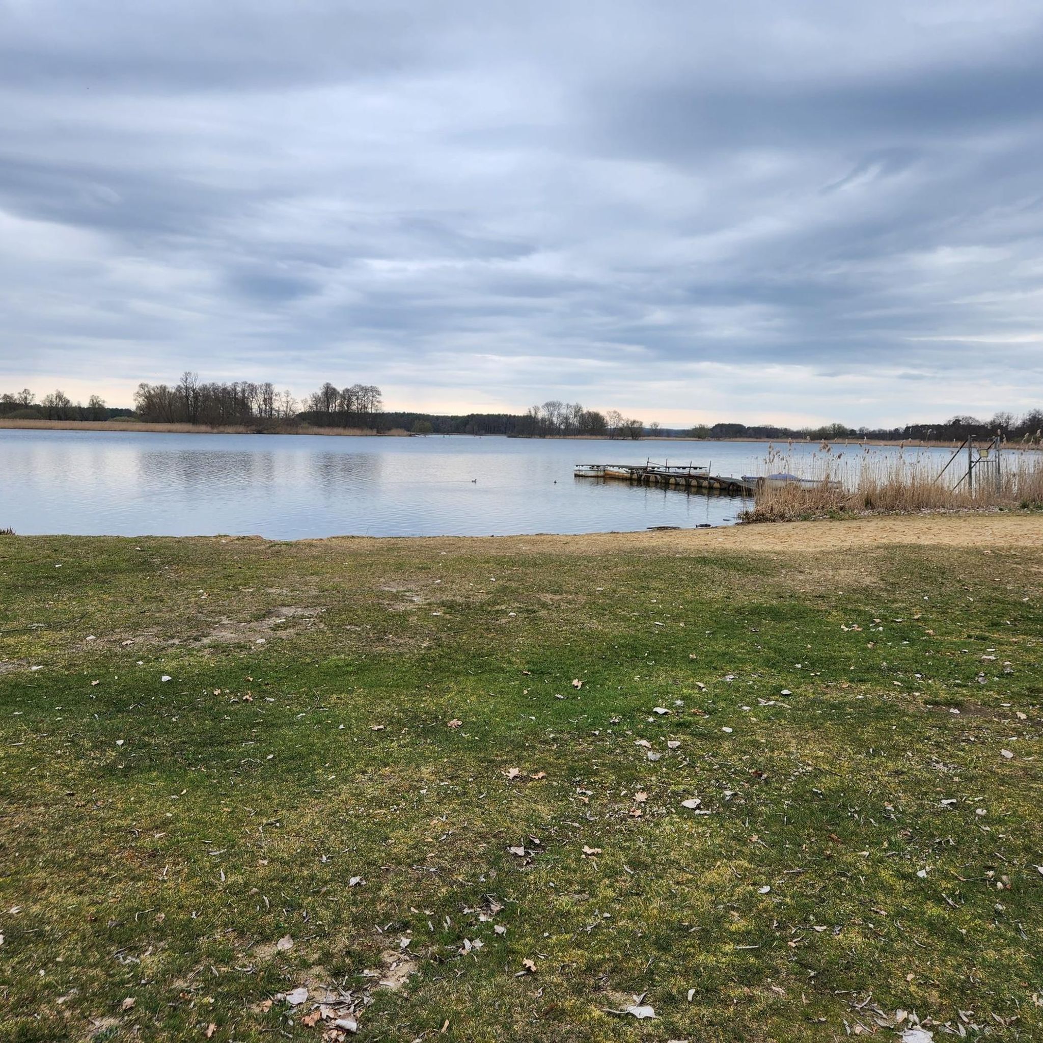
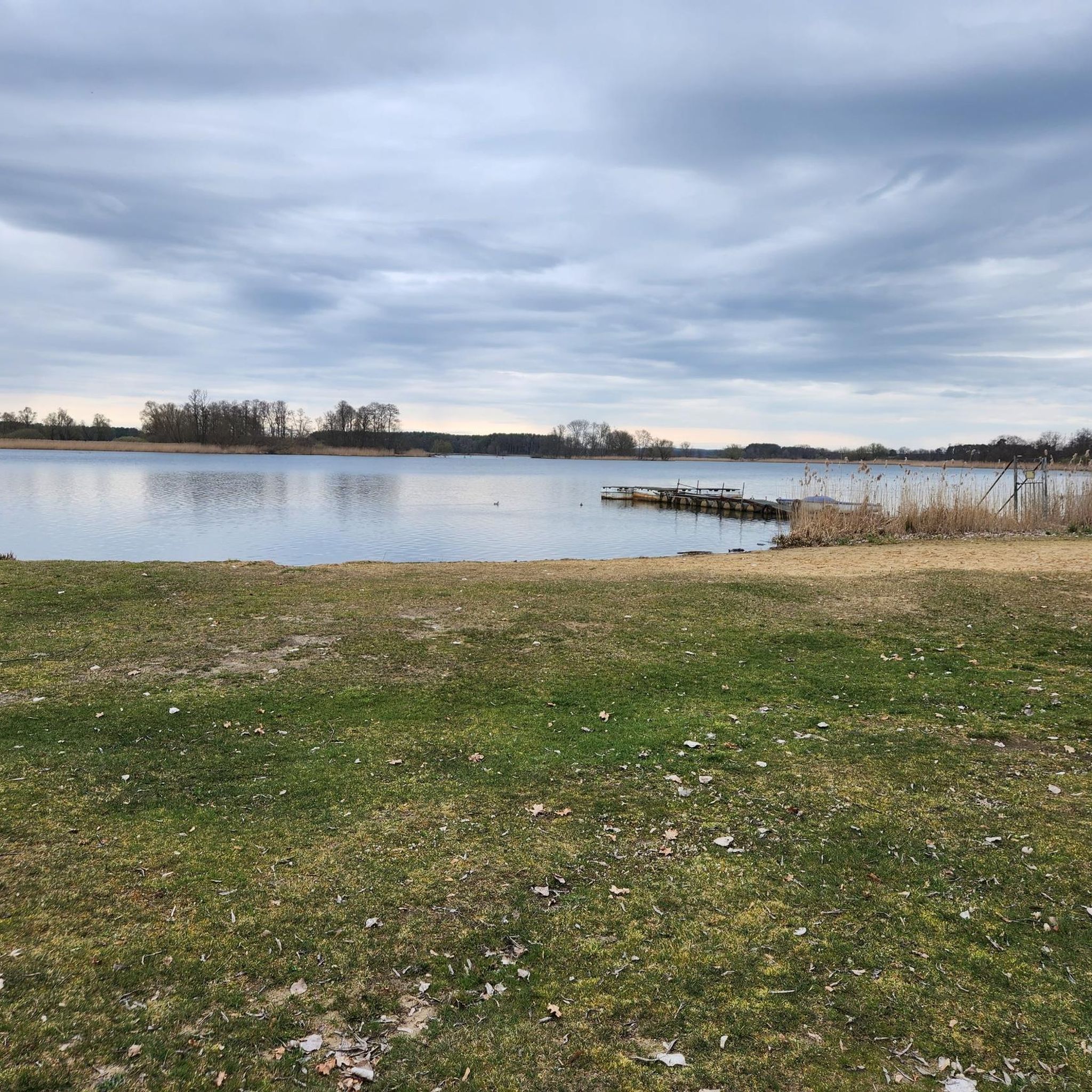
Nice rest area with a view of Lake Godna. We were able to observe many swans and ducks here.
1
0

You can enjoy this view from two beach chairs that belong to the Libelle Restaurant and were placed by the operators in the bay/bathing area opposite. The restaurant is part of the campsite on the idyllic Raatsch peninsula. https://www.halbinsel-raatsch.de/
2
0
The blooming heather delights here from August to early September.
3
0
Super cute young deer and other game in a spacious enclosure are very used to people and are only too happy to be fed. Please be careful not to give them anything that isn't good for them...
2
0
ノイエンドルファー湖でのの人気観光スポット

komootモバイルアプリでインスピレーションを得よう


さらに探索
他の地域の最高のハイキングを見てみましょう。
