アルベサー湖のおすすめウォーキング&ハイキングルート
4.5
(633)
2,354
ハイカー
266
ハイキング
アルベサー湖周辺でおすすめのハイキングやウォーキングをお探しですか?アルベサー湖が誇るこの美しい湖周辺のルートを集めたkomootコレクションを参考にしてください。 ここでは、アルベサー湖周辺の人気ハイキングコースを紹介しています。魅力的なルートが見つかったら、さっそく冒険に出かけましょう。
最終更新日: 8月 25, 2026
5.0
(1)
9
ハイカー
4.41km
01:06
0m
0m
初級者向けハイキング. あらゆるフィットネスレベルに適しています。 進みやすいルートです。あらゆるスキルレベルに適しています。
5.0
(2)
10
ハイカー
5.44km
01:22
10m
10m
初級者向けハイキング. あらゆるフィットネスレベルに適しています。 進みやすいルートです。あらゆるスキルレベルに適しています。

無料新規登録
3.5
(2)
7
ハイカー
初級者向けハイキング. あらゆるフィットネスレベルに適しています。 進みやすいルートです。あらゆるスキルレベルに適しています。
5.0
(2)
10
ハイカー
5.44km
01:22
10m
10m
初級者向けハイキング. あらゆるフィットネスレベルに適しています。 進みやすいルートです。あらゆるスキルレベルに適しています。
4
ハイカー
7.43km
01:52
10m
10m
初級者向けハイキング. あらゆるフィットネスレベルに適しています。 進みやすいルートです。あらゆるスキルレベルに適しています。
さらに多くのルートや他のユーザーのおすすめ情報を確認できます。
無料新規登録
すでにアカウントをお持ちですか?
おすすめのツアーは他のkomootユーザーが実際に経験した何千ものアクティビティに基づいています。
無料アカウントで今日から始めよう
次の冒険が待っています。
ログインまたは登録

コミュニティからのヒント

The five bays in the main nave of the church have a cross-ribbed vault supported by octagonal pillars, while the narrow side aisles are only indicated. The rectory next door is also a listed building and serves as a parish hall and parish office.
1
1


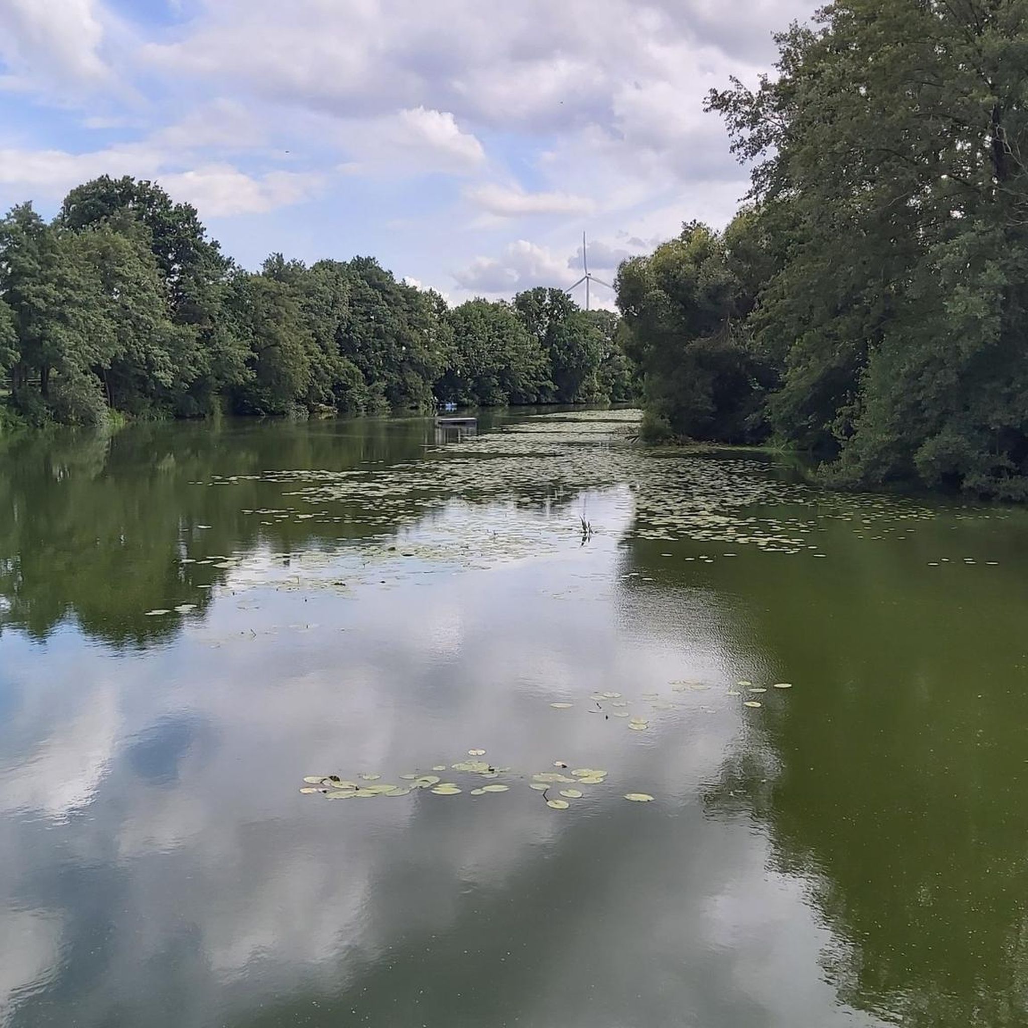
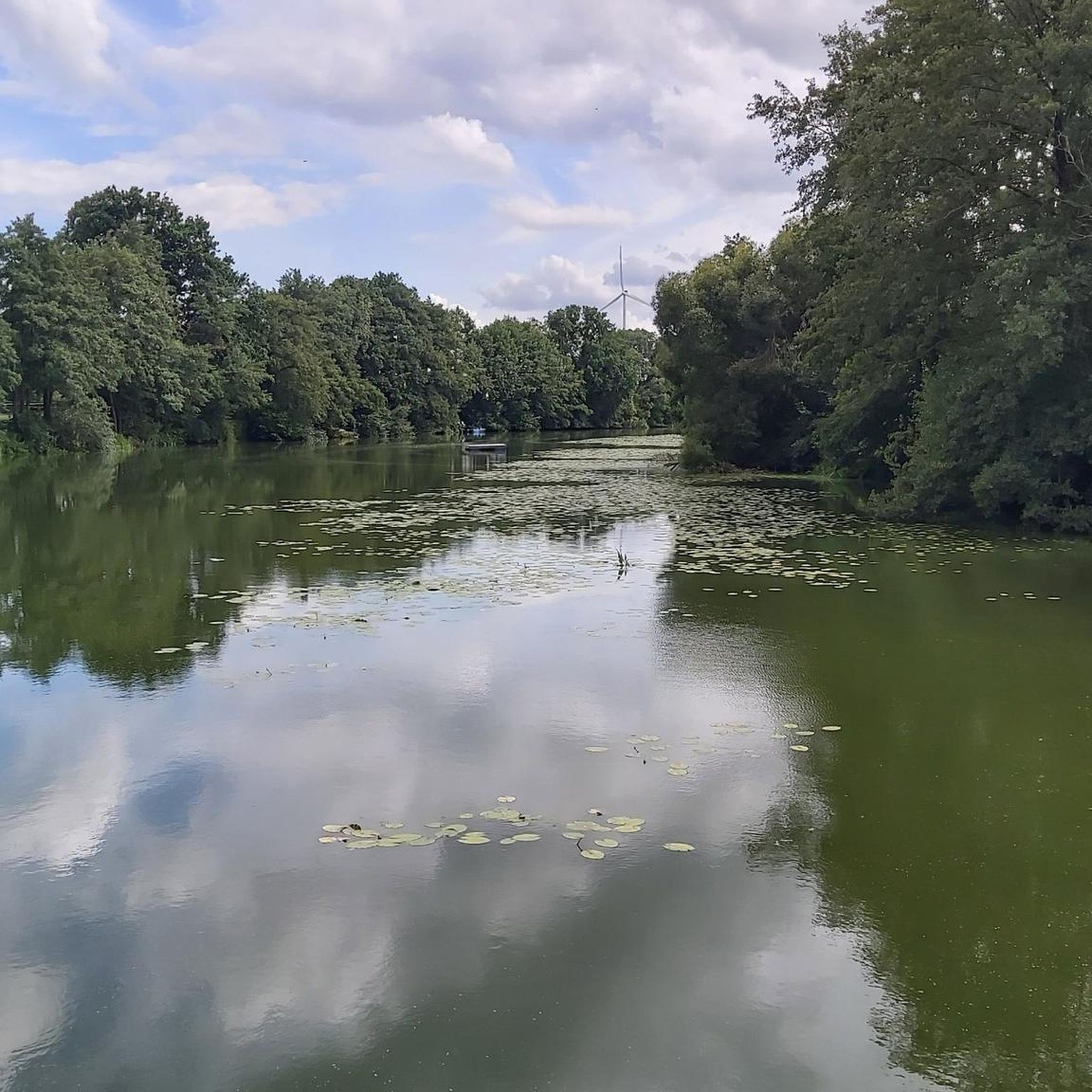
The Alveser See is an oxbow lake of the Weser and lies between the districts of Eitzendorf and Alvesen in the municipality of Hilgermissen. It is around three kilometers long and a maximum of 180 meters wide. Here you can take a break on the idyllic bank.
4
0

The Alveser See with an area of approx. 14 ha is approx. 3 km long, a maximum of 180 m wide and extends largely in a north-south direction and offers appropriate opportunities for fishing. The Blender Emte flows out at the northern end of the lake.
5
0
The Alveser See, an arm of the Weser, lies between the districts of Eitzendorf and Alvesen in the municipality of Hilgermissen in the combined municipality of Grafschaft Hoya and can be reached via the L 201. Here you will find the two campsites "Seerose" and "Am See" with the individual facilities on the inland water. The Alveser See with an area of approx. 14 ha is approx. 3 km long, a maximum of 180 m wide and extends largely in a north-south direction and offers appropriate opportunities for fishing. The Blender Emte flows out at the northern end of the lake.
3
0

Here you can briefly cross the lake. Nevertheless, you should be careful here, because this bridge looks very unstable and slippery.
8
0
I find this bus stop very interesting because it was almost taken over by Pflancen.
6
0
アルベサー湖でのの人気観光スポット

komootモバイルアプリでインスピレーションを得よう


さらに探索
他の地域の最高のハイキングを見てみましょう。
