ルート

プランナー

機能

アップデート

App

ログインまたはサインアップ

アプリを入手

ログインまたはサインアップ

ルート
ロードバイクルート
イタリア
ベネト

ドロミテ

ドロミテのおすすめライド

4.6

(7145)

294,811

ライダー

879

ライド

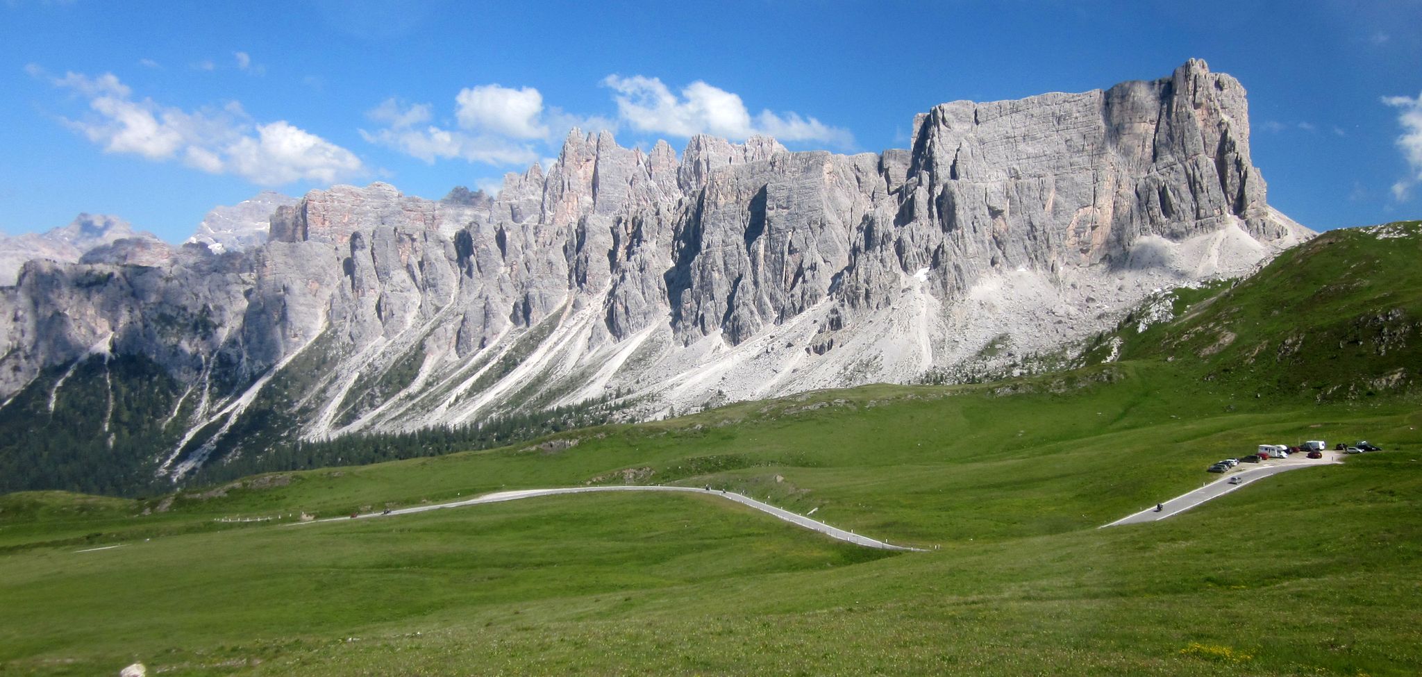
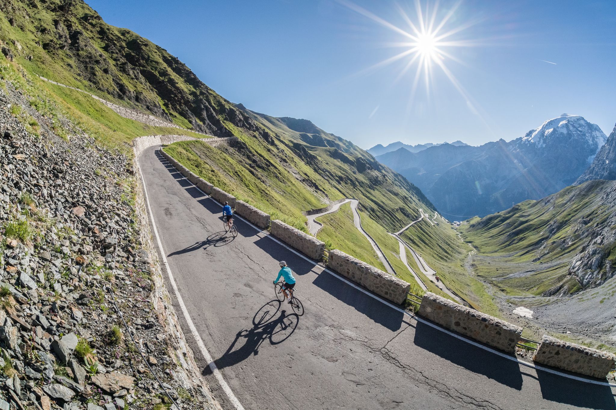
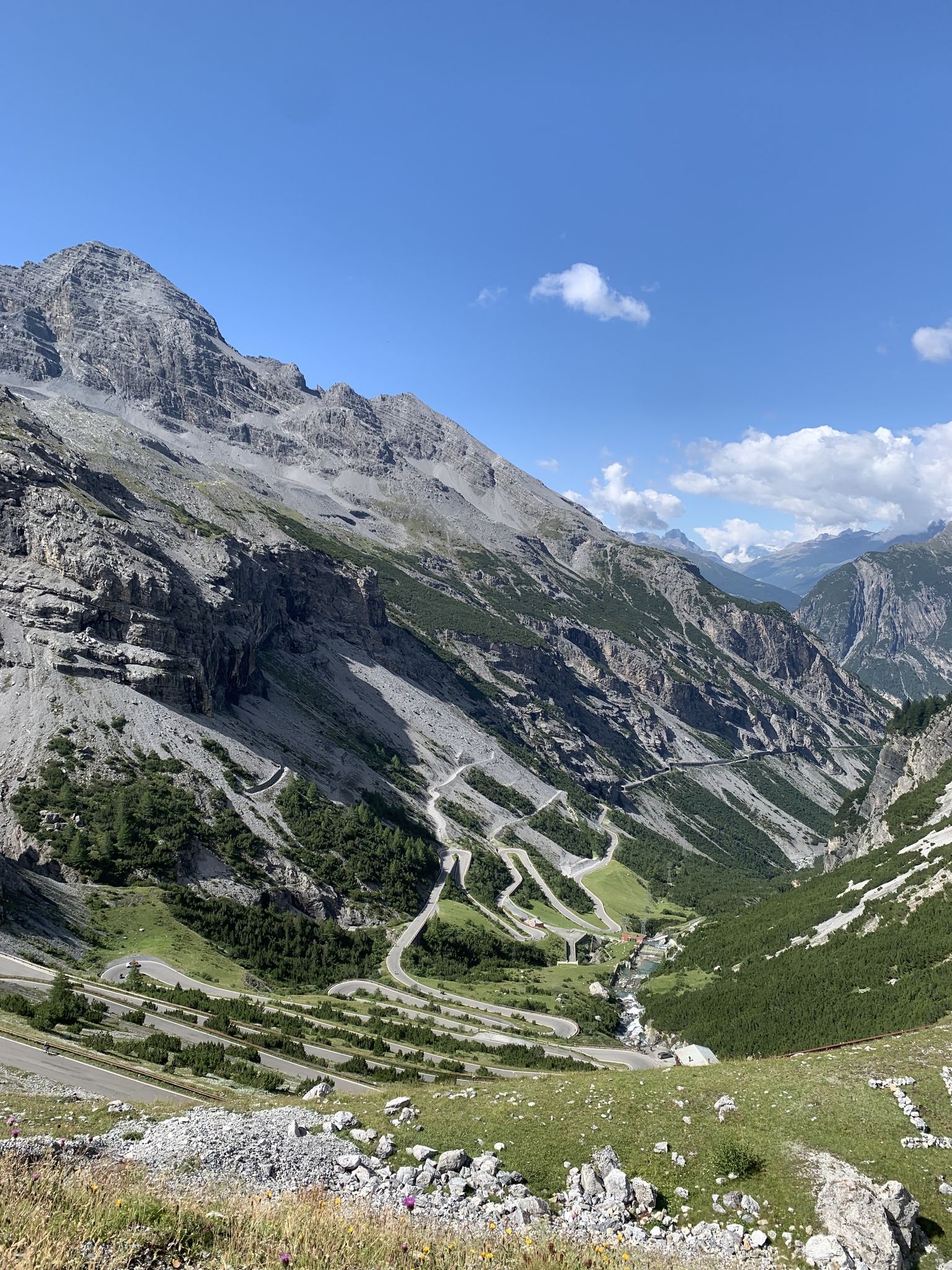
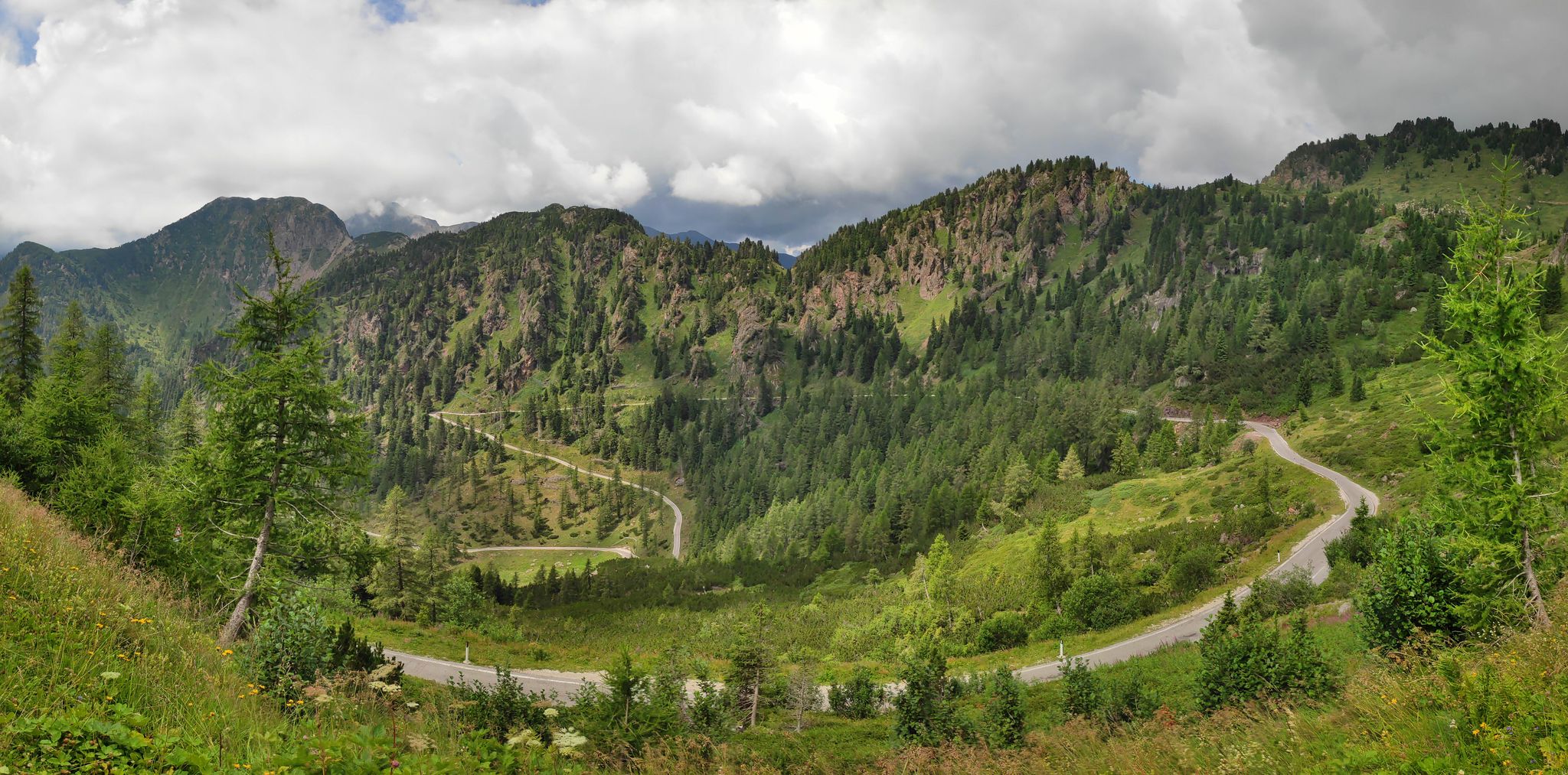
このガイドでご紹介するのは、komootがドロミテでのロードバイクルートのコレクション全体を評価して選び抜いた、このエリアの人気バイクライドです。あなたに合ったものを見つけるには、以下のルートをクリックして標高データや舗装状態の分析などの細かな情報を把握し、さらにkomootコミュニティのメンバーが投稿した役立つ情報や写真も閲覧しましょう。

最終更新日: 7月 8, 2026

4.9

(1162)

35,408

ライダー

#1.

Sellaronda, 4 Pässe für ein Halleluja

62.1km

04:09

2,030m

2,030m

難しいロードライド. 標準以上のフィットネスレベルが必要です。 全般的に舗装状態が良好で走行しやすい道です。

デバイスでナビ

スマートフォンに送信

保存

難しい

4.9

(1042)

31,671

ライダー

The Sellaronda Cycle Route offers a challenging racebike experience through the heart of the Dolomites. This difficult loop covers 32.0 miles (51.5 km) and demands a significant 5486 feet (1672 metres) of elevation gain, typically taking around 4 hours and 5 minutes to complete. As you ride, you will encounter rugged rock faces and lush mountain meadows, with panoramic views of peaks like Sassolungo and the Marmolada glacier. The route crosses four major passes, including Pordoi Pass and Gardena Pass, showcasing dramatic geological formations throughout your journey.

You can begin your Sellaronda adventure from various towns, such as Corvara, and choose to cycle the route in either a clockwise or counter-clockwise direction. Consider the Sellaronda Bike Day, a special biannual event when the roads are closed to motorized traffic. This offers a unique opportunity for a peaceful cycling experience without vehicle interference.

This ring tour is considered a classic ride for cyclists in the Dolomites, known for its continuous ascent and descent through the mountainous terrain. It provides an immersive way to experience the region's unique geology and alpine environment. The route's design, traversing multiple passes, ensures a varied and engaging ride for those seeking a true mountain challenge.

難しい
guide_signup
私たちがkomootモバイルアプリで道を示します
無料の komoot アカウントがあれば、無限のアウトドアコースを簡単に見つけてカスタマイズし、ナビで案内できます。

無料新規登録

4.9

(1017)

31,329

ライダー

51.5km

03:25

1,670m

1,680m

難しいロードライド. 標準以上のフィットネスレベルが必要です。 全般的に舗装状態が良好で走行しやすい道です。

難しい

Embark on a difficult racebike loop from Arabba, covering 31.8 miles (51.1 km) with a substantial 4566 feet (1392 metres) of elevation gain, typically taking around 3 hours and 8 minutes. This challenging route guides you over Passo Campolongo, Passo Valparola, and Passo Falzarego on well-paved roads, featuring numerous switchbacks and varying gradients. You will experience diverse terrain and spectacular views, from the imposing walls of the Tofana massif and the Cinque Torri peaks near Passo Falzarego to the small mountain lake and World War I fort at Passo Valparola's summit. The ride includes unique sections like two evocative tunnels near the top of Falzarego, adding to the dramatic scenery.

This loop is considered a hard road ride, requiring very good fitness due to the significant elevation gain and the consecutive climbs of Falzarego and Valparola. While the roads are generally well-maintained, traffic can be busy during peak tourist months like July and August. However, the numerous hairpin bends on the ascents typically keep vehicle speeds low, making it manageable for cyclists. Plan your visit to account for the duration and difficulty, ensuring you are well-prepared for the sustained effort required.

The route is highly notable for its inclusion of passes regularly featured in prestigious cycling events like the Giro d'Italia and the Maratona dles Dolomites. Passo Valparola and Passo Falzarego are steeped in World War I history, with roads built during the conflict and historical sites like the fort at Valparola adding a unique cultural dimension. This loop serves as an excellent introduction to Dolomite climbs, connecting the Ladin valleys and allowing you to practice climbing and descending skills amidst a landscape recognized as a UNESCO World Heritage site.

難しい

4.9

(231)

9,388

ライダー

難しいロードライド. 標準以上のフィットネスレベルが必要です。 全般的に舗装状態が良好で走行しやすい道です。

難しい

Embark on the Campolongo, Giau, Falzarego, and Valparola Passes Loop, a challenging road cycling adventure through the Dolomites. This difficult route covers 51.6 miles (83.1 km) and demands a significant effort, with 8458 feet (2578 metres) of elevation gain. As you pedal, you will transition from scented pine forests and alpine meadows to rugged, rocky landscapes, offering an ever-changing panorama over approximately 5 hours and 24 minutes.

Planning your ride requires careful consideration. This loop is best suited for experienced cyclists who possess strong fitness and mental fortitude. You will need appropriate gearing for the steep ascents, especially on Passo Giau, where gradients can reach 15%. Always check the best time of year to cycle these passes to ensure optimal weather conditions and to avoid any seasonal closures.

This iconic route is a classic for a reason, showcasing the Dolomites, a UNESCO World Heritage site. From Passo Falzarego, you can admire the striking Sass de Stria mountain. The summit of Passo Giau provides incredible 360-degree views of enormous limestone monoliths, making the demanding climb well worth the effort.

難しい

4.8

(95)

6,395

ライダー

82.5km

05:15

2,450m

2,450m

難しいロードライド. 標準以上のフィットネスレベルが必要です。 全般的に舗装状態が良好で走行しやすい道です。

難しい

4.8

(72)

4,985

ライダー

85.6km

05:28

2,540m

2,540m

難しいロードライド. 標準以上のフィットネスレベルが必要です。 全般的に舗装状態が良好で走行しやすい道です。

難しい

4.8

(17)

3,633

ライダー

難しいロードライド. 標準以上のフィットネスレベルが必要です。 ツアーの一部に、未舗装のため走行が難しい箇所があるかもしれません。

難しい

This difficult road cycling loop takes you through the heart of the Dolomites, offering a challenging ride over two iconic passes. You will cover 42.6 miles (68.5 km) and climb a significant 6576 feet (2004 metres) of elevation, typically taking around 4 hours and 17 minutes to complete. Expect dramatic mountain scenery as you navigate the winding roads, with the majestic Marmolada peak often visible in the distance. The route combines the thrill of steep ascents with rewarding panoramic views, making it a truly memorable experience for experienced cyclists.

To make the most of your ride, plan your visit between late May and early October when conditions are generally best. Be aware that traffic on these famous Dolomite passes can be heavy, especially during July and August. You will need a very good level of fitness for this route, and compact gearing is highly recommended to tackle the steep climbs, particularly on Passo Fedaia.

This loop is renowned for its varied landscapes, transitioning from charming villages to the dramatic heights of the mountain passes. The ascent to Passo Pordoi is particularly famous for its 27 hairpin bends, offering spectacular vistas that are often adorned with colorful wildflowers in warmer months. The descent from Passo Pordoi provides a fast and exhilarating ride back towards Caprile, capping off an epic day on the bike.

難しい
無料新規登録すると、ドロミテでのでのライドをさらに870件ご覧いただけます。

さらに多くのルートや他のユーザーのおすすめ情報を確認できます。

無料新規登録

すでにアカウントをお持ちですか?

おすすめのツアーは他のkomootユーザーが実際に経験した何千ものアクティビティに基づいています。

無料アカウントで今日から始めよう

次の冒険が待っています。
ログインまたは登録

ドロミテ周辺で人気

アルプスを渡り暮らす太陽を追いかけて — サポートなしのソロ

ドロミテスを横断する — 世界で最も美しい山脈

Road biking in South Tyrol

Transcontinental Race No9 2023

アップヒルで自分をテスト - Sportful Dolomiti Race

アルプス上下 – ドロミッツロードバイクで

ロードバイクでドロミーツ山脈 - 2つのループで4つの峠

ジロ・デ・イタリアの偉大なる峠 - 10の歴史ある登山

海賊の道の上で-マルコ・パンタニの場所を発見せよ

So much variety, so much South Tyrol

ドロミテでのの他の冒険

アルプスを渡り暮らす太陽を追いかけて — サポートなしのソロ

ロードバイクのコレクション によって

Omar Di Felice

コミュニティからのヒント

Rika 🌸
6月 17, 2026, Canazei

カナーゼイの中心部は10分で回れ、坂道もきつくありません。

Google翻訳による翻訳

0

0

Val Badiaで最も美しい小さな町。

Google翻訳による翻訳

0

0

自転車でこの素晴らしい地域を探索するのは、何度訪れても感動的な体験です

Google翻訳による翻訳

0

0

Stenio Melani
6月 10, 2026, Colfosco

コルフォスコ(ラディン語でカルフォシュ)は、アルト・アディジェ州のドロミーティの中心部に位置する標高1,645メートルのコルヴァラ・イン・バディアの自治体にある、素晴らしい集落です。アルタ・バディアで最も標高の高い集落であり、谷とガルデナ峠を結ぶパノラマ道路沿いに位置し、雄大なセッラ山群の麓、プエツ・オードレ自然公園の端にあります。 コルフォスコは、夏冬ともに有名な観光地であり、家族連れ、スポーツ愛好家、アルプスの自然愛好家に最適です。 サン・ヴィジリオ教会(ゴシック様式):1420年に建てられたこの村のシンボルで、セッラ山群のそびえ立つ岩壁を背景にそびえ立つ特徴的な玉ねぎ型の鐘楼で有名です。 コルフォスコ・アドベンチャーパーク:ラリッシュの木々の間に設置された70以上のプラットフォームを備えた、ハイワイヤーコースを備えた、家族連れや若者に最適なアトラクションです。 壮大なヴァル・メズディ、ピスチャドゥの滝への特別な出発点。

Google翻訳による翻訳

1

0

ガルデナとコルヴァラの間の美しい村。

Google翻訳による翻訳

11

0

素晴らしい地域、サイクリストにとって素晴らしい体験

Google翻訳による翻訳

4

0

Cube C68
5月 3, 2026, Passo Giau

サイクリングに最適な地域

Google翻訳による翻訳

0

0

ヴァル・ディ・ファッサの中心地

Google翻訳による翻訳

0

0

ドロミテでのの人気ルート

ドロミテでのハイキング

ドロミテでのの人気観光スポット

Natural Monuments

Store rating

komootモバイルアプリでインスピレーションを得よう

無料のkomootアカウントがあれば、無限のアウトドアコースを簡単に見つけてカスタマイズし、ナビで案内できます。

または

今すぐkomootに参加しよう

Store rating

さらに探索

他の地域の最高のロードサイクリングルートを見てみましょう。

ベッルーノヴィチェンツァヴェローナトレヴィーゾヴェネツィアパドヴァロビゴ

近くのアドベンチャーガイド

コッレサンタルチアでやるべきこと

background

新しいピークを征服する準備をしよう

無料でサインアップ

探検する
ルートルートプランナー機能ハイキングMTBトレイルロードバイクルートバイクパッキングサイトマップ
アプリをダウンロード
SNSでフォローする

© komoot GmbH

プライバシーポリシー