Mapletonのおすすめライド
5.0
(2)
20
ライダー
5
ライド
Mapleton周辺のロードサイクリングコースは、ワサチ山脈の麓に広がる多様な地形を提供し、標高の変化が特徴です。この地域には、ホブルクリークキャニオンやマプレトンキャニオンのような景色の良い渓谷があり、魅力的なライドを楽しめます。マプレトンはまた、地元で「ベンチ」として知られるボンネビルショアラインに位置しており、ユニークな地理的要素に貢献しています。周囲の起伏のある丘陵地帯と広々とした空間は、ロードサイクリストにとって魅力的な環境を作り出しています。
Mapleton周辺のベストロードサイクリングコース
- 最も人気のあるロードサイクリングコースは、所要時間2時間11分、距離31.1マイル(50.1km)のエロラ発、グランドリバー、ファーガス – エロラブルーイングカンパニーループです。このコースは、標高差738フィート(225メートル)の多様な地形を巡ります。
- 地元のロードサイクリストにもう一つ人気のコースは、所要時間約2時間11分、距離32.8マイル(52.8km)の適度な難易度のエロラ発、エロラブルーイングカンパニーループです。このコースは、標高差719フィート(219メートル)を含みます。
- 地元のロードサイクリストに愛されているのは、所要時間約1時間47分、距離25.3マイル(40.8km)のエルミラ発、ウェストモントロース屋根付き橋 – ウェストモントロース屋根付き橋ループで、多様な景観を巡ります。
- Mapleton周辺のロードサイクリングは、山麓の丘、景色の良い渓谷、広々とした空間が特徴です。このネットワークは、簡単なライドからかなりの標高差のある挑戦的なコースまで、さまざまなレベルのオプションを提供しています。
- Mapletonのコースは、komootコミュニティから1件以上のレビューで平均5.0つ星の高評価を得ています。20名以上のロードサイクリストがkomootを利用して、Mapletonの多様な地形を探索しました。
最終更新日: 10月 2, 2026
5.0
(1)
6
ライダー
38.2km
01:42
190m
190m
中程度のロードライド. あらゆるフィットネスレベルに適しています。 ツアーの一部に、未舗装のため走行が難しい箇所があるかもしれません。
5
ライダー
41.1km
01:47
220m
220m
初級者向けロードバイクライド. あらゆるフィットネスレベルに適しています。 全般的に舗装状態が良好で走行しやすい道です。

5.0
(1)
5
ライダー
50.9km
02:13
230m
230m
中程度のロードライド. ある程度のフィットネスレベルが必要です。 ツアーの一部に、未舗装のため走行が難しい箇所があるかもしれません。
3
ライダー
49.4km
02:16
290m
290m
中程度のロードライド. ある程度のフィットネスレベルが必要です。 ツアーの一部に、未舗装のため走行が難しい箇所があるかもしれません。
1
ライダー
52.9km
02:05
220m
220m
中程度のロードライド. ある程度のフィットネスレベルが必要です。 全般的に舗装状態が良好で走行しやすい道です。
おすすめのツアーは他のkomootユーザーが実際に経験した何千ものアクティビティに基づいています。
無料アカウントで今日から始めよう
次の冒険が待っています。
Mapleton周辺で人気
コミュニティからのヒント

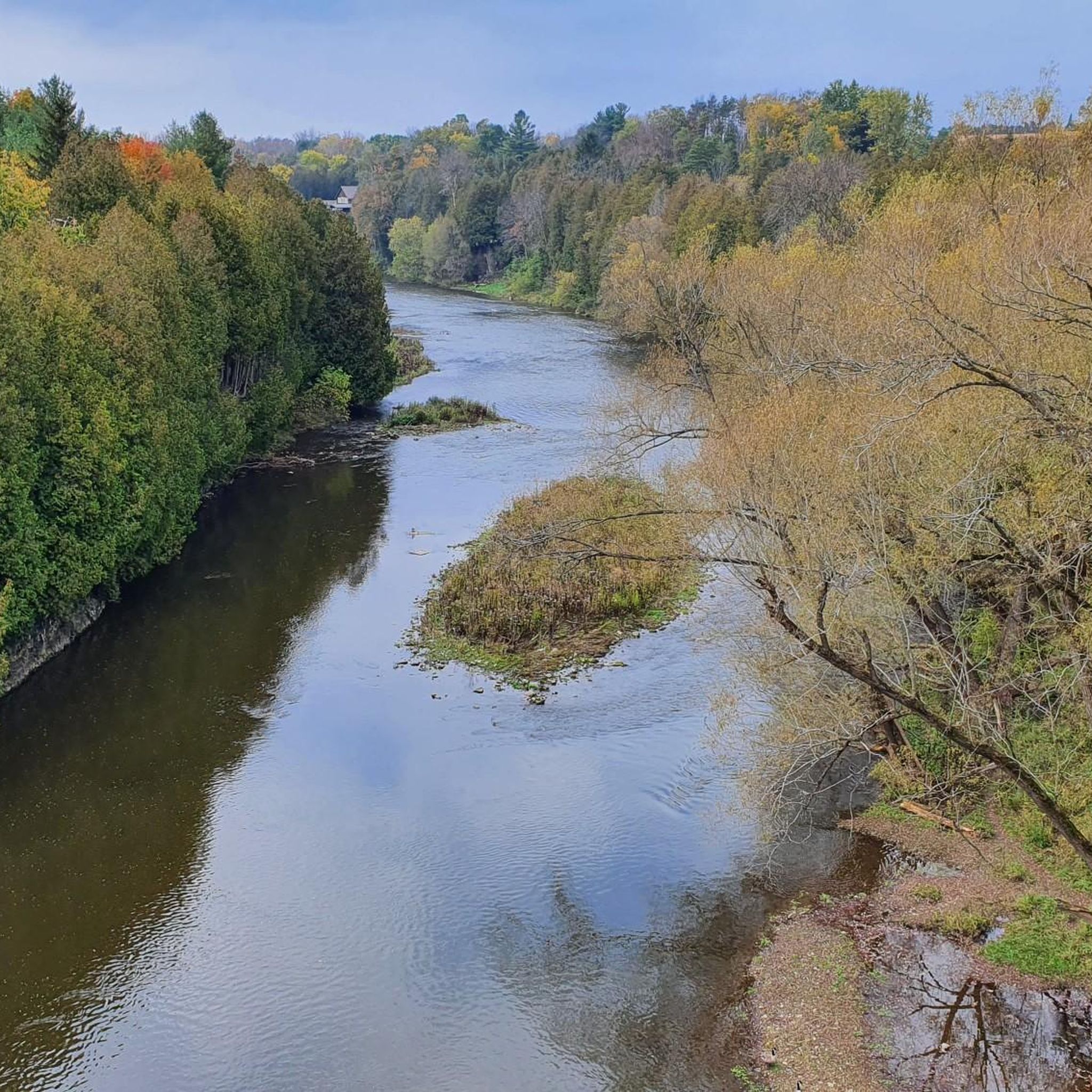
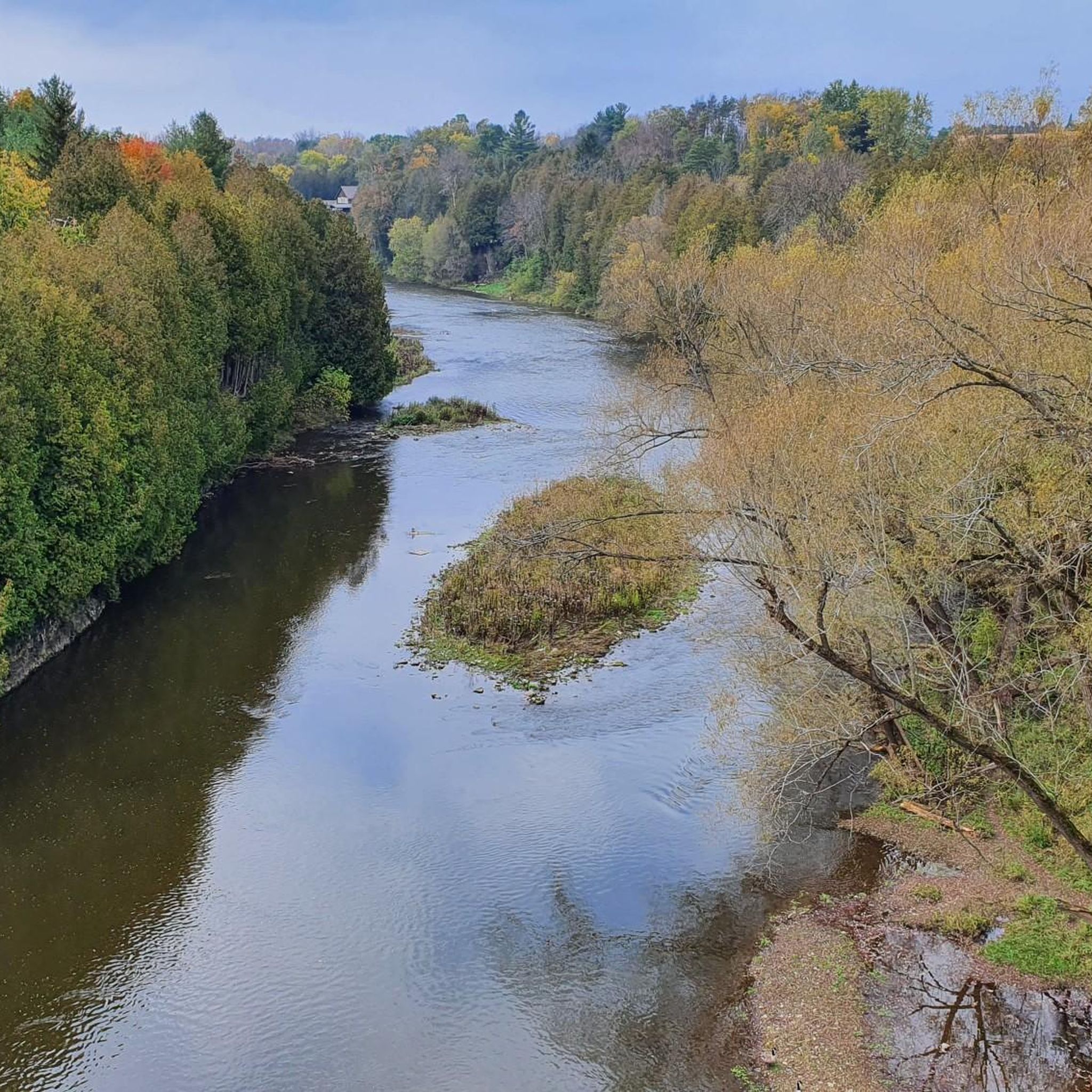
エロラ渓谷は、グランド川の上にそびえる高さ22メートル(72フィート)の石灰岩の崖の自然の美しさと、利用可能なアクティビティやアメニティの両方により、人気の目的地となっています。景色の良いトレイルのネットワーク、多くの釣り場、キャンプ場もあります。川に出て、急流をチューブやカヤックで下ることもできます。
0
0

この森林トレイルは、Laurel Creek Conservation Areaの森林生息地を通過し、近くの貯水池や草原のトレイルよりも静かな代替ルートを提供します。鬱蒼とした樹冠がルートの大部分に日陰を作り、季節の変化により、葉が色づき始める秋にはこの区間が特に魅力的になります。
0
0
This is the north end of RIM Park and the end of the Walter Bean Grand River Trail section, but there’s no parking available here. If you’re planning to walk this route, you’ll need to park at the main RIM Park parking area that is located on Park Road. It’s a common point of confusion, so it’s worth planning ahead.
0
0
Running alongside the trail, the Grand River is the main backdrop for this entire section. For much of the route, you’re walking right beside the water, with open views in some areas and more filtered glimpses through trees in others. The river moves steadily here, and you’ll often see birds along the banks or on the water. It’s part of a much larger river system that flows south across the region toward Lake Erie, adding a quiet sense of scale to an otherwise easy, local walk.
0
0
This section of the Walter Bean Grand River Trail follows a wide, easy path alongside the Grand River, making it more of a relaxed walk or run than a traditional hike. The trail is mostly flat, with a mix of paved and gravel surfaces, and stays close to the water for much of the route. You’ll move between open parkland and shaded sections through trees, with occasional views of the river. It’s part of a much longer trail system that runs through the region, but this stretch is especially accessible and easy to follow.
0
0

Formerly known as the River Ouse, the Grand River flows through Ontario before emptying into Lake Erie's northern shore. Here, on the edge of Kitchener, its riparian area is full of wildlife, including a wide array of birds that can be quite active, thus making it a great bird watching spot.
0
0
Although this is just a small pond designed to manage storm runoff it does add a nice backdrop for photos and creates habitat for local and migrating birds.
0
0

around Mapletonの人気ルート
around Mapletonの人気観光スポット

komootモバイルアプリでインスピレーションを得よう


さらに探索
他の地域の最高のロードサイクリングルートを見てみましょう。
