アルブフェイラ・ド・ファンチョのおすすめランニングルート
3.6
(11)
86
ランナー
13
ランニング
アルブフェイラ・ド・ファンチョでランニングを楽しめば、このエリアをより深く知ることができます。ランニングに適した美しいルートが見つかるように、komootがアルブフェイラ・ド・ファンチョでのルートのコレクション全体を評価して選び抜いた、人気ランニングトレイルをご紹介します。ルートをクリックして詳細を表示し、他のユーザーがアップロードした役立つ情報や写真を閲覧しましょう。
最終更新日: 10月 7, 2026
4
ランナー
7.93km
00:51
80m
80m
中程度のジョギング. ある程度のフィットネスレベルが必要です。 全般的に舗装された状態です。あらゆるスキルレベルに適しています。
3.0
(1)
12
ランナー
6.52km
00:48
150m
150m
中程度のジョギング. ある程度のフィットネスレベルが必要です。 全般的に進みやすいルートです。一部で、安定して歩行できる技術が必要です。

3.5
(2)
6
ランナー
19.2km
02:11
340m
340m
Jog the difficult 11.9-mile Via Algarviana: Funcho Dam Loop, gaining 1116 feet with reservoir views and dam scenery.
4.0
(3)
13
ランナー
13.1km
01:25
180m
180m
中程度のジョギング. ある程度のフィットネスレベルが必要です。 全般的に舗装された状態です。あらゆるスキルレベルに適しています。
14
ランナー
14.0km
01:39
260m
260m
中程度のジョギング. ある程度のフィットネスレベルが必要です。 全般的に舗装された状態です。あらゆるスキルレベルに適しています。
さらに多くのルートや他のユーザーのおすすめ情報を確認できます。
すでにアカウントをお持ちですか?
おすすめのツアーは他のkomootユーザーが実際に経験した何千ものアクティビティに基づいています。
無料アカウントで今日から始めよう
次の冒険が待っています。
コミュニティからのヒント


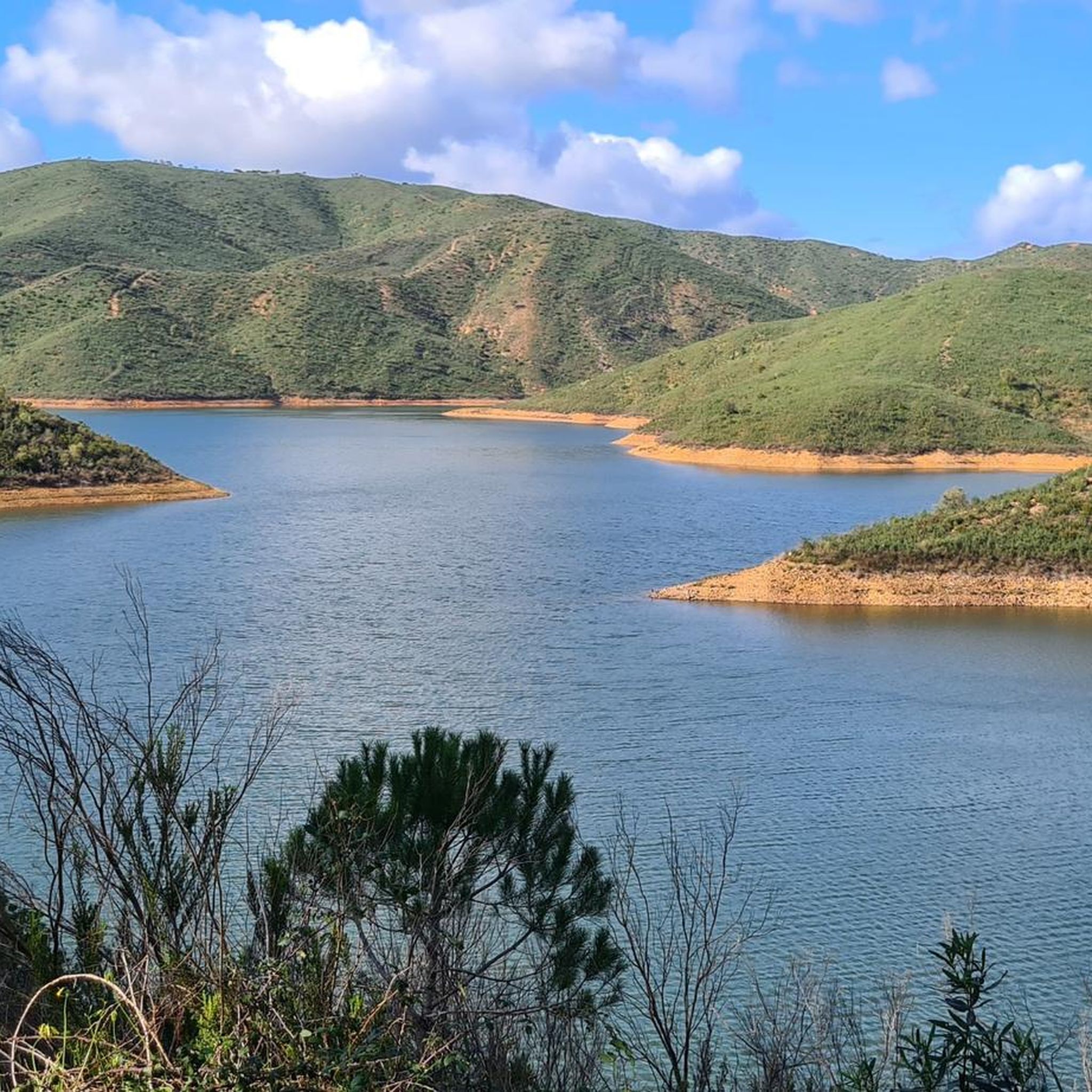
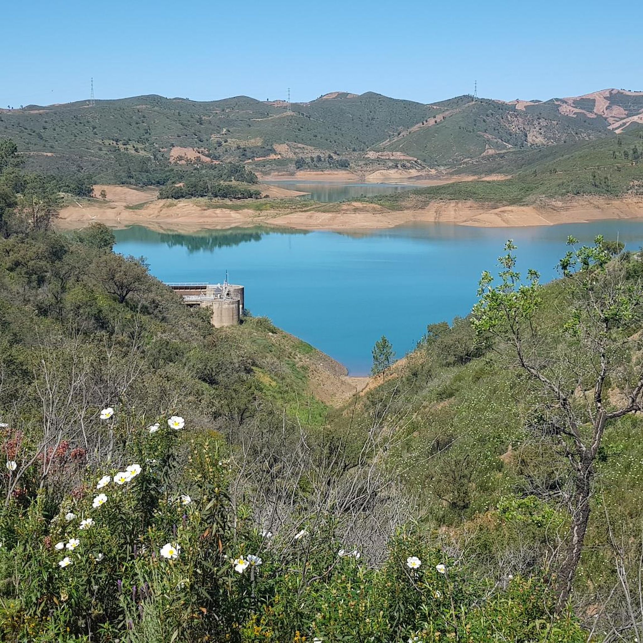
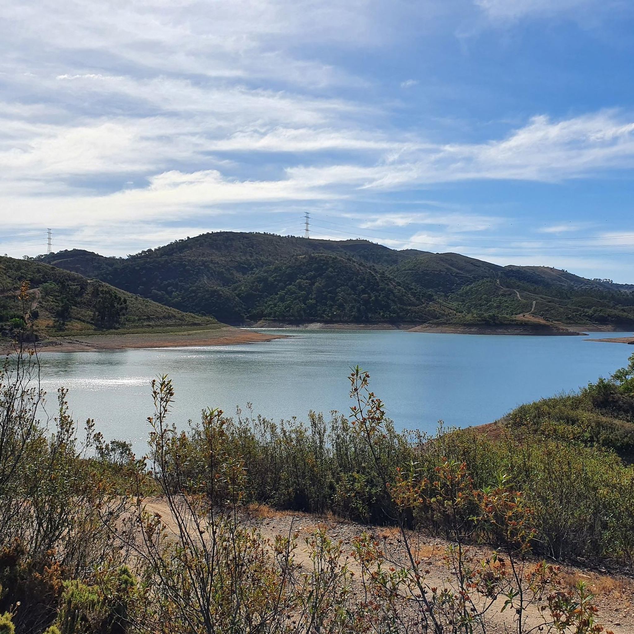
It's impossible to miss this dam: the enormous stone and cement wall in the middle of the mountains invites you to stop for a moment and admire its grandeur. There's a path below, from where you can see the massive structure at river level, and you can also visit it from above, revealing sensational panoramas of the cliffs, the reservoir, and the surrounding greenery.
2
0

A wonderful swimming dam. It'll be packed full in the summer of 2025. Water, that is. Otherwise, very quiet. Pleasantly warm. The author tested it.
3
0


The Funcho Dam is located in the municipality of Silves (Portugal) and is fed by the Arade River . The dam is located upstream of the Arade Dam . The construction of this dam was completed in 1993 and its main purpose is to irrigate the agricultural lands of the region . The surface area of the hydrographic basin is 200 km² , with a useful capacity of 42.75 million cubic metres in the reservoir .
0
0
The Arade is a river in the Algarve, in the south of Portugal. The river flows through the municipalities of Silves, Lagoa and Portimão and has a length of 73 km. The river rises at 481 m altitude in the Serra do Caldeirão and flows into the Atlantic Ocean between Portimão and Ferragudo. From Moorish times until the 19th century, the river was navigable up to Silves, where an important cork port existed at the time. Nowadays, only small boats can go this far upstream, partly because two dams have been built in the river.
0
0

Sometimes a bit hidden between bushes, but really authentic history
2
0

No water - no reservoir. In November 2024 the reservoir was completely dry.
0
0
アルブフェイラ・ド・ファンチョでのの人気観光スポット

komootモバイルアプリでインスピレーションを得よう


さらに探索
他の地域の最高のランニングトレイル & ルートを見てみましょう。
