アルブフェイラ・ド・ファンチョのおすすめツーリングルート
4.5
(24)
125
ライダー
20
ライド
アルブフェイラ・ド・ファンチョ周辺にはバイクライド向きのルートがたくさんあるため、ルート選びも簡単ではありません。この湖の魅力をすぐに体験していただけるように、komootおすすめのルートをまとめました。 ページを下にスクロールしてアルブフェイラ・ド・ファンチョ周辺のサイクリングルートの詳細をご覧になり、気に入ったルートが見つかったら、さっそく冒険に出かけましょう。
最終更新日: 8月 27, 2026
2
ライダー
中程度の自転車ライド. ある程度のフィットネスレベルが必要です。 全般的に舗装された状態です。あらゆるスキルレベルに適しています。
4.6
(5)
18
ライダー
24.3km
02:07
410m
410m
中程度の自転車ライド. ある程度のフィットネスレベルが必要です。 全般的に舗装された状態です。あらゆるスキルレベルに適しています。

無料新規登録
4.0
(1)
7
ライダー
31.0km
01:59
350m
350m
中程度の自転車ライド. ある程度のフィットネスレベルが必要です。 全般的に舗装された状態です。あらゆるスキルレベルに適しています。
2
ライダー
16.6km
01:19
310m
310m
中程度の自転車ライド. ある程度のフィットネスレベルが必要です。 全般的に舗装された状態です。あらゆるスキルレベルに適しています。
2
ライダー
13.2km
01:16
260m
250m
中程度の自転車ライド. ある程度のフィットネスレベルが必要です。 全般的に舗装された状態です。あらゆるスキルレベルに適しています。
さらに多くのルートや他のユーザーのおすすめ情報を確認できます。
無料新規登録
すでにアカウントをお持ちですか?
おすすめのツアーは他のkomootユーザーが実際に経験した何千ものアクティビティに基づいています。
無料アカウントで今日から始めよう
次の冒険が待っています。
ログインまたは登録
コミュニティからのヒント


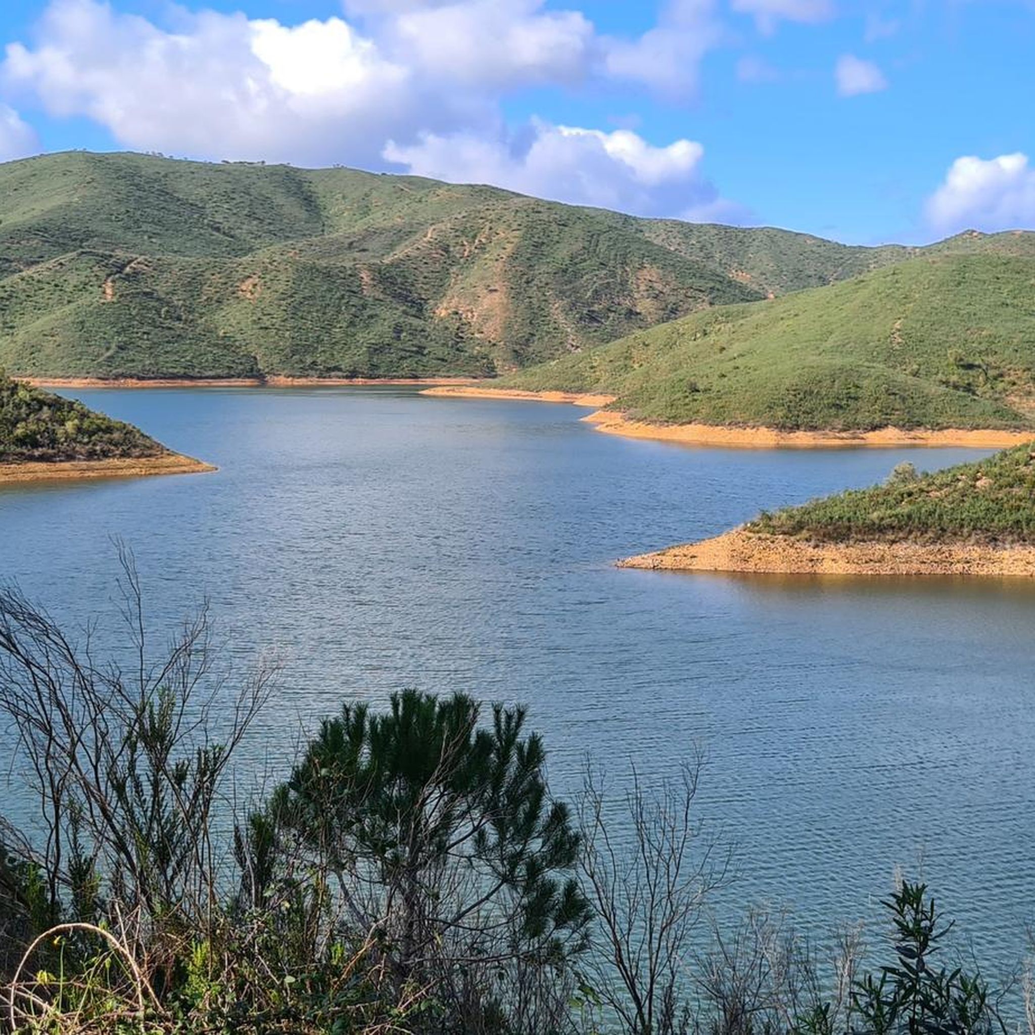
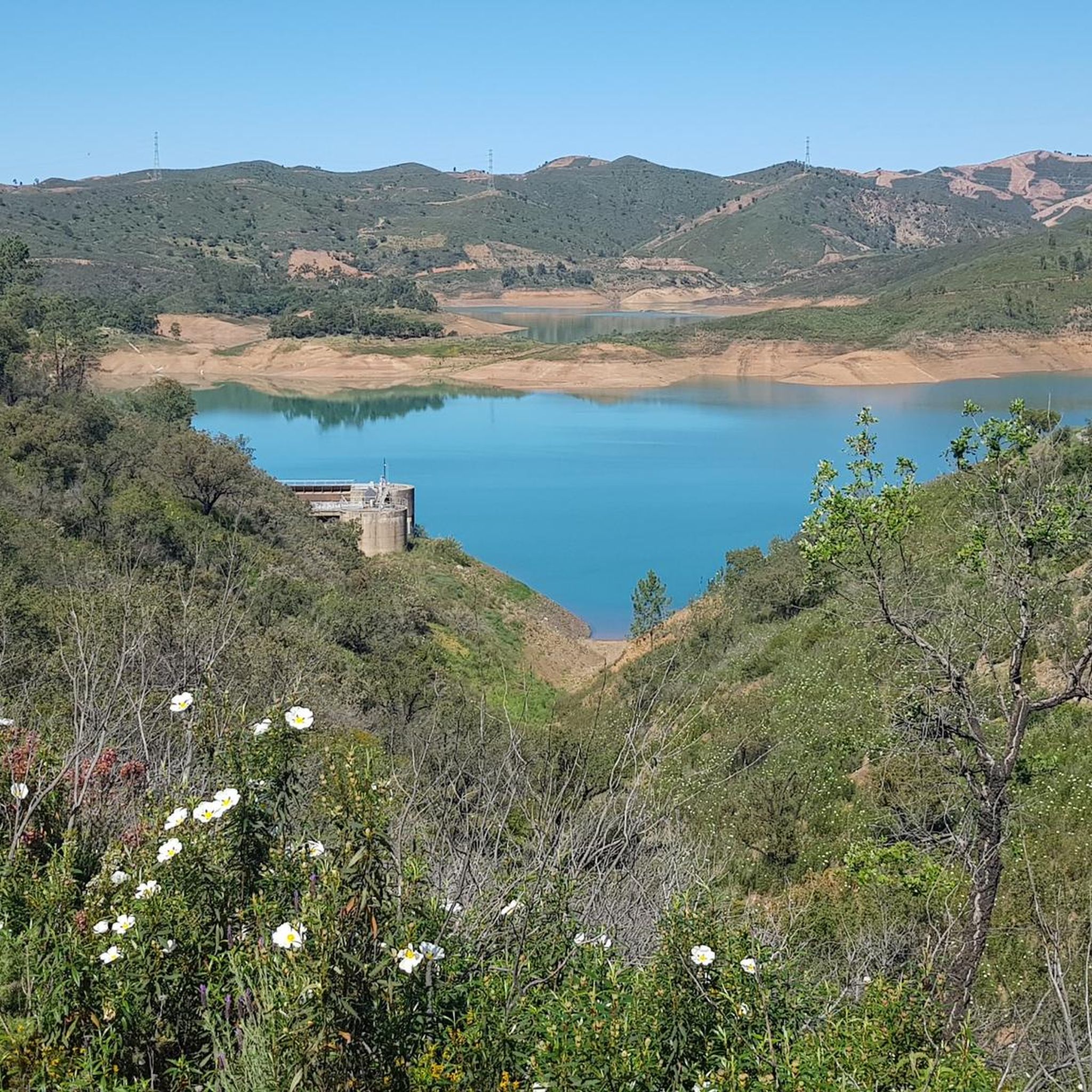
The reservoir is surrounded by green hills and plantations, with the blue of the water contrasting with the green of the vegetation, forming a very beautiful sight.
0
0
It's impossible to miss this dam: the enormous stone and cement wall in the middle of the mountains invites you to stop for a moment and admire its grandeur. There's a path below, from where you can see the massive structure at river level, and you can also visit it from above, revealing sensational panoramas of the cliffs, the reservoir, and the surrounding greenery.
2
0

The Arade is a river in the Algarve, in the south of Portugal. The river flows through the municipalities of Silves, Lagoa and Portimão and has a length of 73 km. The river rises at 481 m altitude in the Serra do Caldeirão and flows into the Atlantic Ocean between Portimão and Ferragudo. From Moorish times until the 19th century, the river was navigable up to Silves, where an important cork port existed at the time. Nowadays, only small boats can go this far upstream, partly because two dams have been built in the river.
0
0

Sometimes a bit hidden between bushes, but really authentic history
2
0

Wisi-Gothic tombs carved into the rocks
0
0

The dam is impressive. A natural mid point of this tour from Guia (Bikesul) and back.
3
0

Here you can find interesting rock tombs from the Gothic period. Cafe Silva opposite is recommended.
0
0
アルブフェイラ・ド・ファンチョでのの人気観光スポット

komootモバイルアプリでインスピレーションを得よう


さらに探索
他の地域の最高のサイクリングルートを見てみましょう。
