アイアン郡のおすすめウォーキング&ハイキングルート
4.8
(136)
1,551
ハイカー
49
ハイキング
アイアン郡でのハイキングに出かけて、ユタのこのエリアを探索してみませんか?このガイドでご紹介するのは、komootがアイアン郡でのハイキング・ウォーキングルートのコレクション全体を評価して選び抜いた、このエリアの人気ハイキングルートです。あなたに合った でのハイキングを見つけるには、他のユーザーがアップロードした役立つ情報や写真を閲覧し、各ルートに関するみんなの意見やコメントを参考にしましょう。
最終更新日: 8月 31, 2026
5.0
(8)
66
ハイカー
3.90km
01:08
90m
100m
The South Rim Trail offers an easy hike through Cedar Breaks National Monument. You will cover 2.4 miles (3.9 km) with a gentle elevation gain of 296 feet (90 metres),…
5.0
(1)
8
ハイカー
2.96km
01:03
190m
10m
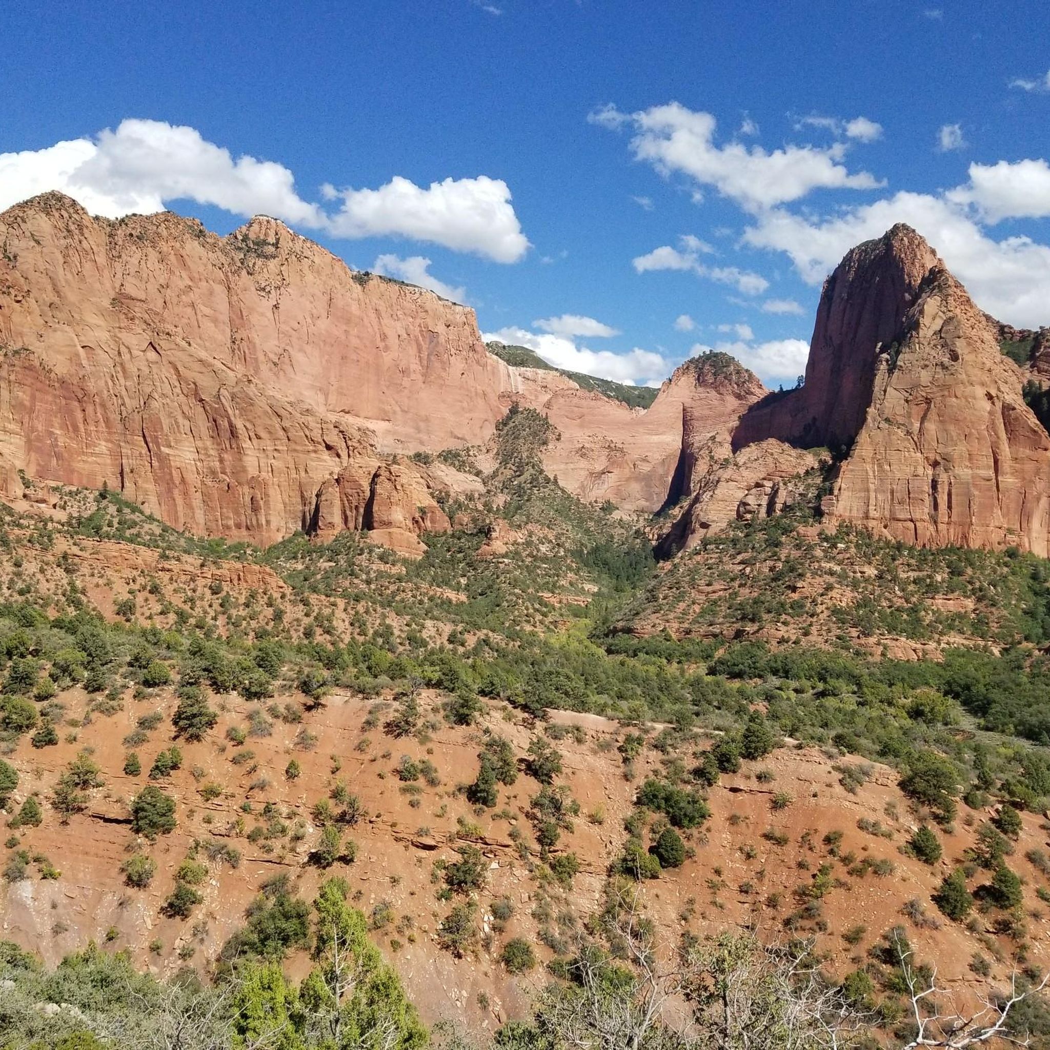
The Kanarra Falls Trail offers an accessible taste of Utah's iconic slot canyons, guiding you through a landscape that evolves from a dirt path alongside Kanarra Creek to dramatic red…

無料新規登録
1
ハイカー
2.95km
01:02
270m
10m
Embark on the Blowhard Trail via Moots Hollow for an easy hike that offers a quick outdoor escape. This route covers 1.8 miles (3.0 km) and climbs 871 feet (266…
5.0
(2)
1
ハイカー
3.02km
00:51
90m
10m
Embark on an easy 1.9-mile (3.0 km) hike through varied terrain on the Lower Lowder Ponds trail, a route that takes about 50 minutes to complete. You will gain 294…
19.9km
06:28
1,250m
220m
Embark on the Rattlesnake Creek - Ashdown Gorge Trail, a difficult 12.4 miles (19.9 km) hiking route that takes you through a dramatic landscape. You will gain 4109 feet (1252…
3.82km
01:03
50m
80m
The Sidney Peak Trail provides an easy hike across a beautiful singletrack ridgeline, winding through high-elevation meadows and sections of forest. You will gain 157 feet (48 metres) over 2.4…
9.94km
03:00
370m
210m
Embark on the Ashdown Gorge Trail for a rugged and adventurous hike through a massive limestone canyon. This moderate route covers 6.2 miles (9.9 km) with an elevation gain of…
2.62km
00:43
70m
0m
The Coal Creek Trail offers a refreshing, easy hike perfect for a quick escape into nature. This short route is ideal for those seeking a gentle stroll, providing a pleasant…
11.7km
03:14
200m
200m
Explore the Brian Head Town Trail, a moderate hiking route that offers a unique perspective on this high-altitude community. You will cover 7.3 miles (11.7 km) with an elevation gain…
3.81km
01:19
230m
30m
The Vista Trail offers a moderate hiking experience, covering 2.4 miles (3.8 km) with an elevation gain of 762 feet (232 metres). You can typically complete this route in about…
さらに多くのルートや他のユーザーのおすすめ情報を確認できます。
無料新規登録
すでにアカウントをお持ちですか?
おすすめのツアーは他のkomootユーザーが実際に経験した何千ものアクティビティに基づいています。
無料アカウントで今日から始めよう
次の冒険が待っています。
ログインまたは登録



コミュニティからのヒント

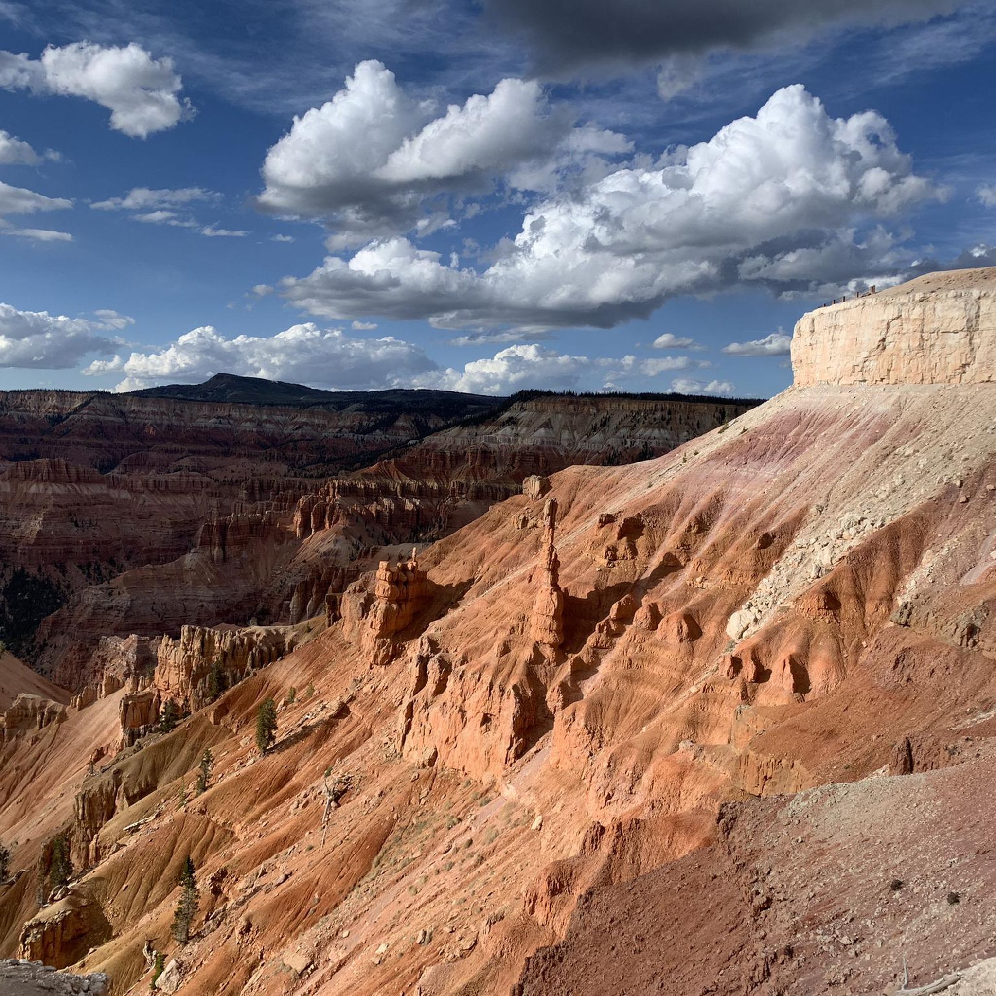
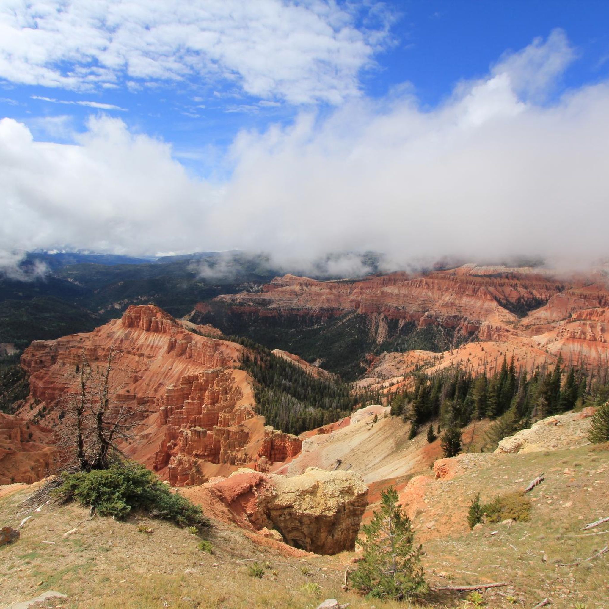
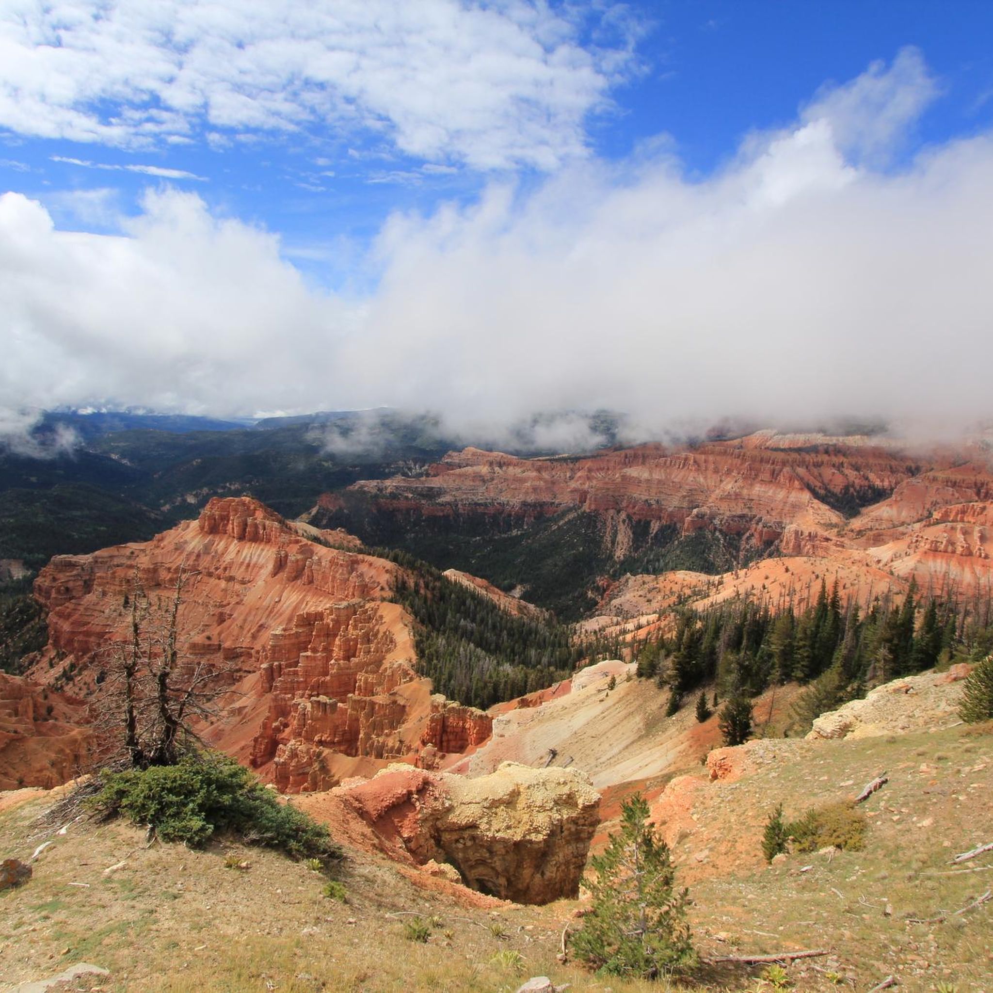
Cedar Breaks National Monument sits high on the Markagunt Plateau, offering riders a striking reward after the long climb from Cedar Canyon. The rim overlooks a massive amphitheater of red and orange hoodoos, similar to Bryce Canyon but far quieter and more intimate. Expect cooler temperatures and strong winds at the top, and take advantage of the overlook pullouts for a break. The views here are some of the best you’ll get on two wheels in southern Utah.
0
0

The Cedar Breaks National Monument is located on the west side of the Paunsaugunt-Plateaus. You might know the much more famous "brother" Bryce Canyon on the east side. The bizarre red sandstone formations in this small park might remind you of those in Bryce Canyon.
0
0
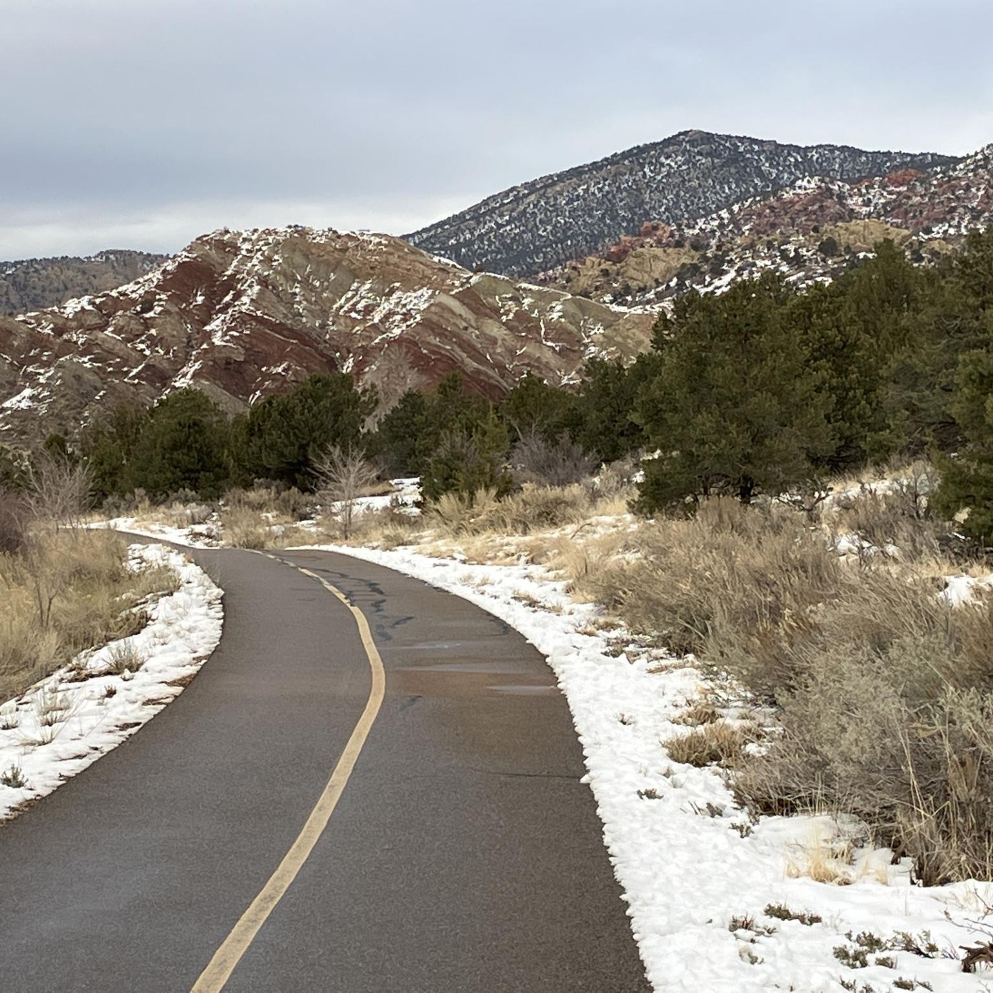
Sidney Peak is a small summit, easily accessible by a well-marked trail. The Peak offers an expansive view of the forest and red mountains in the background. It has a false summit, so make sure to go a little bit up the trail to get the views.
0
0
Picturesque ponds surrounded by meadows and wildflowers makes it a perfect place to chill and have a picnic, appreciating the peace and quietness.
0
0
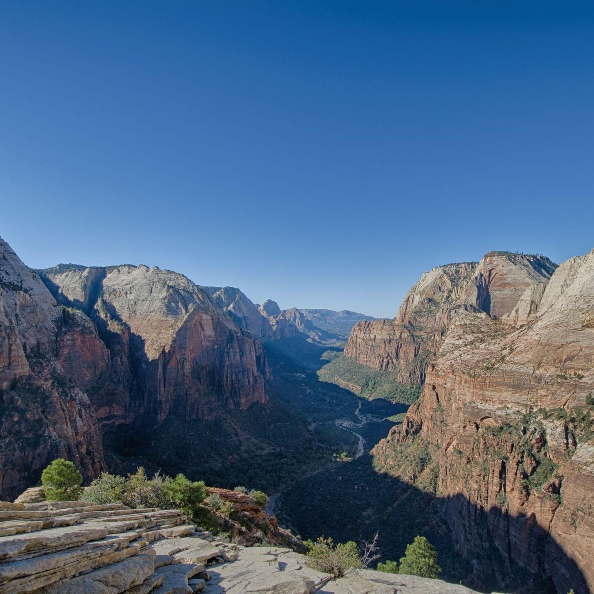
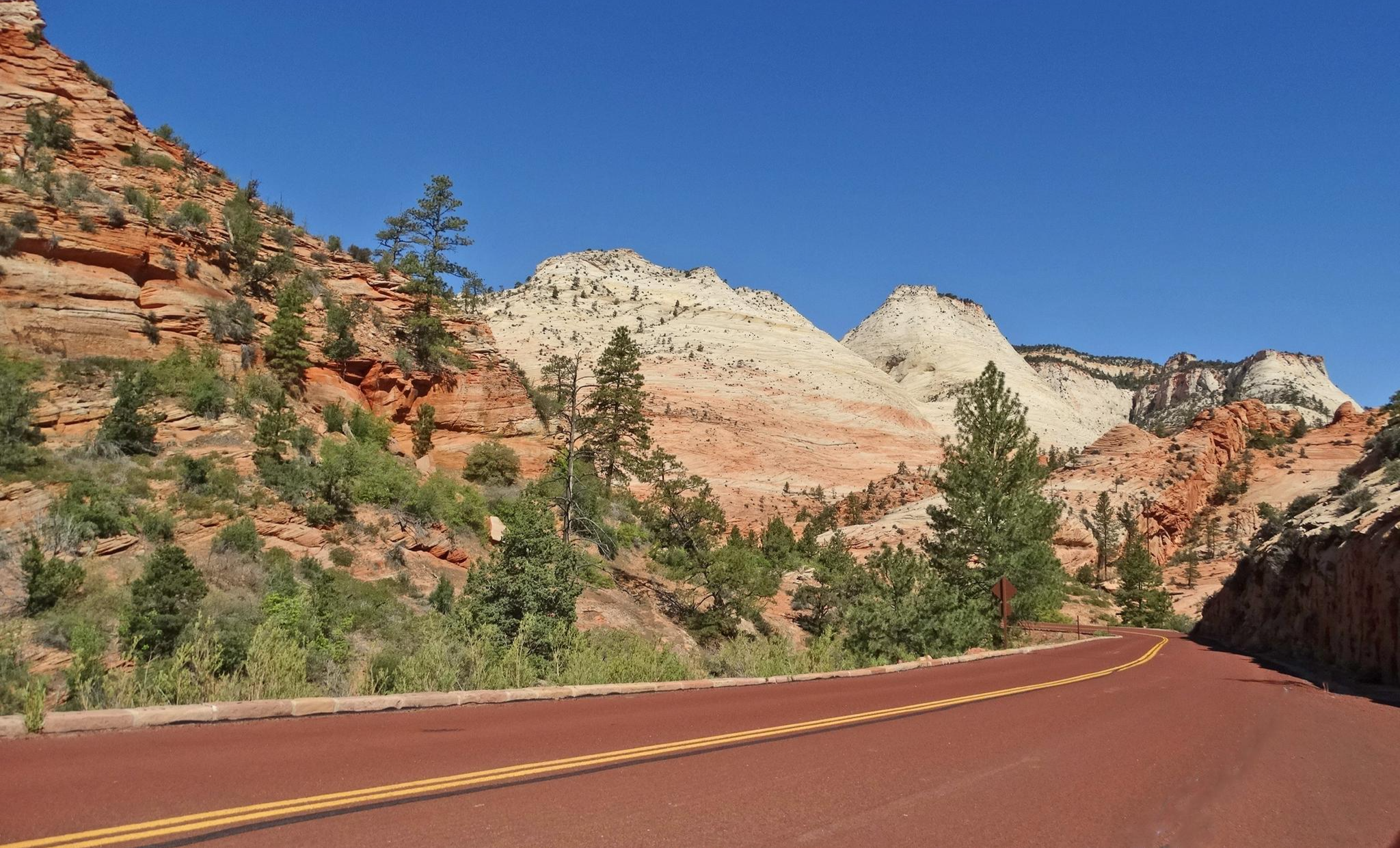
This viewpoint delivers a beautiful view of the canyon, with all the different tones of red and white contrasting with the green trees. The views pay off the effort to get there, and as this is not such a popular destination, you might even have it just for yourself.
0
0

Cedar Breaks National Monument is mostly left out, firstly because it is a bit off the standard routes, you can only get a view of Cedar Breaks NM from above and Bryce Canyon is more spectacular and Bryce Canyon is easy to hike down and into the hoodoos.
0
0

It is spectaculair to do. Be aware to take a ticket in advance. Only 150 a day can go inside.
2
0

Be advised, this trail has a 150 person per day limit, reservable online for a reasonable fee. Reservations usually fill up at least a week in advance.
2
0
アイアン郡の人気観光スポット

komootモバイルアプリでインスピレーションを得よう


探していたものは見つかりませんでしたか?
アイアン郡の下にある他のハイキングをチェックして、目的地で完璧なルートを見つけましょう。
さらに探索
他の地域の最高のハイキングを見てみましょう。
