フェントレス郡のおすすめウォーキング&ハイキングルート
4.8
(8)
101
ハイカー
30
ハイキング
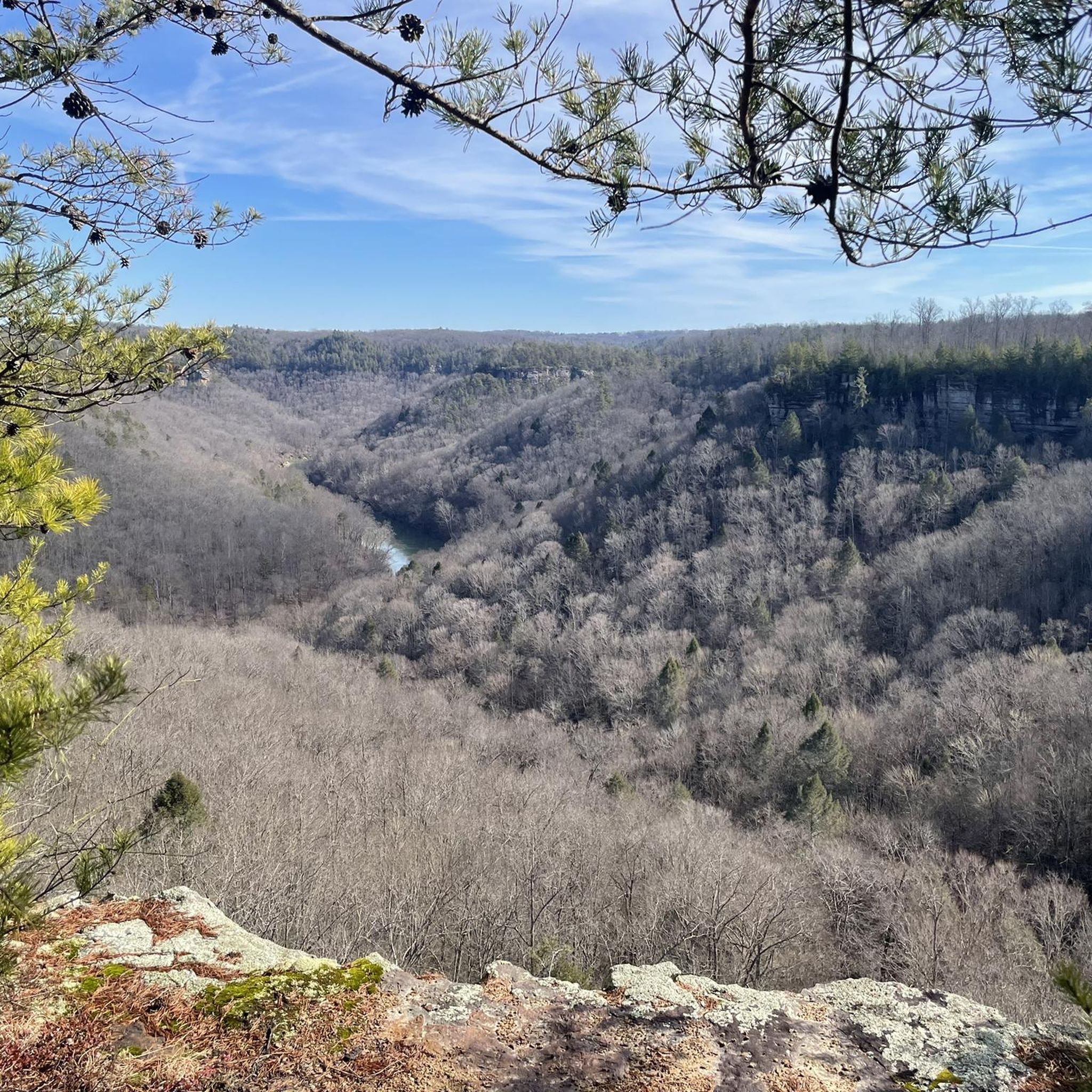
フェントレス郡(テネシー州)でのハイキングは、深い峡谷、そびえ立つ砂岩の断崖、そして自由に流れる川を特徴とするカンバーランド高原の多様な地形を提供します。この地域には鬱蒼とした森があり、穏やかな小道から景色の良い稜線まで、さまざまなトレイルがあります。滝や岩屋のような自然の特徴は、多くのルート沿いで一般的です。この景観は、簡単な散策からより挑戦的なルートまで、さまざまなレベルの能力に対応するオプションを提供します。
フェントレス郡の最高のハイキングトレイル
- 最も人気のあるハイキングルートは、所要時間2時間44分、距離6.4マイル(10.3 km)のWest Bandy Creek Trailです。この適度な難易度のルートからは、周囲の断崖の景色を眺めることができ、小川に沿って進みます。
- 地元のハイカーに人気のもう一つのルートは、所要時間約2時間44分、距離6.4マイル(10.3 km)のSlave Falls and Twin Arches Loopです。この適度な難易度の10.9マイル(17.7 km)のトレイルは、印象的な自然の砂岩アーチと滝へと続いています。
- 地元のハイカーは、約1時間で完了することが多い、ユニークな自然橋の形成を通り抜ける2.3マイル(3.7 km)のトレイル、Hazard Cave and Natural Bridge Loopも気に入っています。
- フェントレス郡でのハイキングは、砂岩の断崖、深い峡谷、そして鬱蒼とした森によって特徴づけられます。このネットワークは、簡単な散策からより挑戦的なルートまで、さまざまなレベルの能力に対応するオプションを提供します。
- フェントレス郡のルートは、komootコミュニティから高く評価されており、5件以上のレビューから平均4.8つ星を獲得しています。90人以上のハイカーがkomootを使用して、フェントレス郡の多様な地形を探検しました。
最終更新日: 8月 19, 2026
3
ハイカー
3.56km
01:01
70m
90m
Embark on an easy hike along the Mesa Top and Upper Canyon Trail, a 2.2-mile (3.6 km) route that offers a diverse landscape within Pogue Creek Canyon State Natural Area.…
5.88km
01:34
60m
70m
The Oscar Blevins Loop Trail offers an easy hike through mixed forests, perfect for a relaxed outing. You will cover 3.7 miles (5.9 km) with a gentle elevation gain of…

無料新規登録
24.1km
06:44
400m
560m
Embark on the Twin Arches-Charit Creek Loop, a difficult 15.0-mile (24.1 km) hiking adventure through the Big South Fork National River and Recreation Area. You will navigate diverse terrain, from…
20.6km
05:34
280m
280m
Embark on the Hicks Ridge, Wild Cat, Willie Lee, Pavilion, Teepee and Proctor Ridge route for a challenging hike through diverse landscapes. This difficult trail spans 12.8 miles (20.6 km)…
26.7km
07:13
370m
320m
Embark on the Cumberland Valley Loop Trail, a challenging 16.6-mile (26.7 km) hike that winds through the Big South Fork National River and Recreation Area. You will encounter rugged terrain…
614m
00:11
0m
50m
The Gentleman's Swimming Hole Trail offers a unique blend of natural beauty and historical intrigue, leading you on a short journey into the Clear Fork River gorge. As you walk,…
5.0
(2)
11
ハイカー
Embark on the Slave Falls and Twin Arches Loop, a moderate 11.0-mile (17.7 km) hike that takes you through varied terrain, from old fire roads to dense, moss-covered forests. You'll…
2
ハイカー
10.3km
02:44
110m
110m
Embark on the West Bandy Creek Trail, a moderate hiking route spanning 6.4 miles (10.3 km) with an elevation gain of 350 feet (107 metres). You can expect to complete…
Embark on the Grand Gap and John Muir Trail Loop, a difficult hike spanning 15.6 miles (25.0 km) with an elevation gain of 1380 feet (421 metres). This challenging route,…
Embark on an easy hike along the Hazard Cave and Natural Bridge Loop, a 2.3-mile (3.7 km) route that guides you through a vibrant hardwood forest. You will encounter impressive…
さらに多くのルートや他のユーザーのおすすめ情報を確認できます。
無料新規登録
すでにアカウントをお持ちですか?
おすすめのツアーは他のkomootユーザーが実際に経験した何千ものアクティビティに基づいています。
無料アカウントで今日から始めよう
次の冒険が待っています。
ログインまたは登録

コミュニティからのヒント

The John Muir Trail runs flat along the Cumberland River here between Leatherwood Ford and the Grand Gap. There is a dispersed camping site along the middle of the segment.
0
0
This rocky outcropping is warmed by the sun during the day and makes for a fantastic picnic spot with spectacular views over the Cumberland River and Angel Falls. You get more great views of the river as you descend the John Muir Trail just below the overlook.
0
0

The main campground in the Big South Fork National River and Recreation Area acts as a parking area and trailhead for a bunch of different trails and forest roads. The trail signage in Big South Fork is great, and it's easy to find your way back if you decide to deviate from your planned route. Some trails are rougher than others, but they are marked accordingly and intersect each other frequently.
0
0
The bridge is a truly remarkable formation that closely resembles the slender and graceful arch of a man-made bridge. This is right next to the parking area and easily accessible both from the trail and as a quick stop off the highway.
0
0
Hazard Cave is an epic open cavern with plenty of space to walk around inside and feel like you are in an underground amphitheater. There are some benches just under near the entrance. The trail is well marked, well maintained, and fairly easy.
0
0
Slave Falls is a small but high waterfall which tumbles into the sandstone crescent below. You can access the fall from the north or the south side of the creek.
0
0
The small out-and-back trail to the arch is remarkable and definitely worth it! True to its name, the natural bridge is long and thin and looks more closely resembles a tree that has fallen across the path than a stone formation.
0
0
The lodge is a rustic getaway experience which is only accessible via the Big South Fork trail system. You can learn more about room prices, meals, and the experience on the CCL website here: https://www.ccl-bsf.com.
0
0

komootモバイルアプリでインスピレーションを得よう


探していたものは見つかりませんでしたか?
フェントレス郡の下にある他のハイキングをチェックして、目的地で完璧なルートを見つけましょう。
さらに探索
他の地域の最高のハイキングを見てみましょう。
